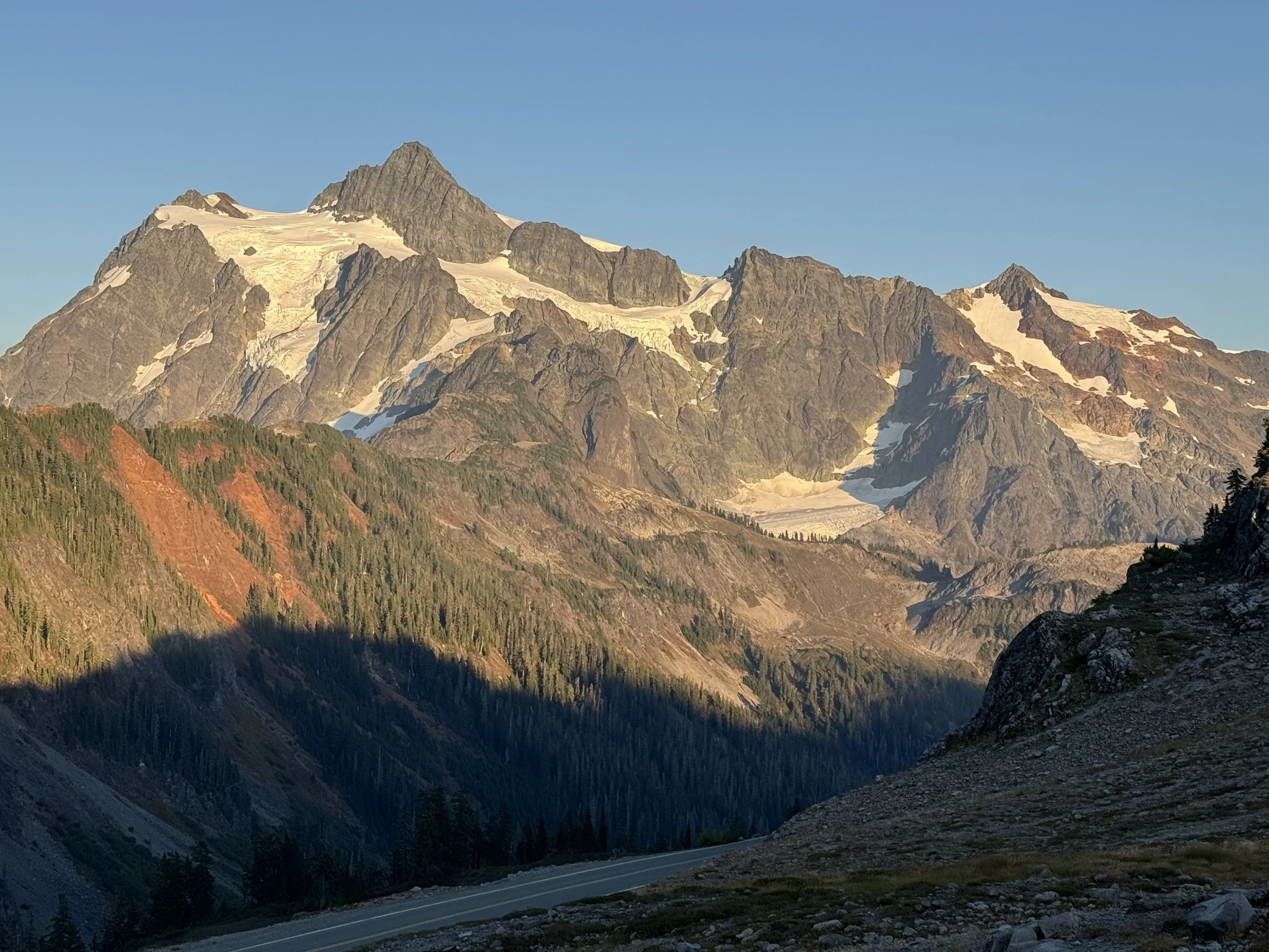
Ptarmigan Ridge, Mount Baker
September 17, 2026
Washington Trails Association page for this hike. All Trails page for this hike.
This is a long hike, 11.4 miles round trip according to All Trails and that seems about right per our experience. There are only short potions of the trail that are steep but the hike is a long haul, giving it its “hard” rating on All Trails and “moderate to hard” rating on the WTA page.
A nice thing about this trail is that from the very beginning the views are wonderful and its picture taking pretty much all along the way. There also is a midpoint spot of a colorful open field that is the primary destination for some hikers who are just looking for the photo opportunity there. On our way back we saw some folks starting out late in the afternoon and assume that they were just there for the early parts of the trail. There were also quite a few overnight hikers.
The trail is dog friendly and we saw lots of hikers with their pets. We visited on a Thursday and imagine that like all great trails this one is going to be really busy on a weekend.
We got a later start than we expected as along the way one of the truck tires was leaking and I had to change to the spare.
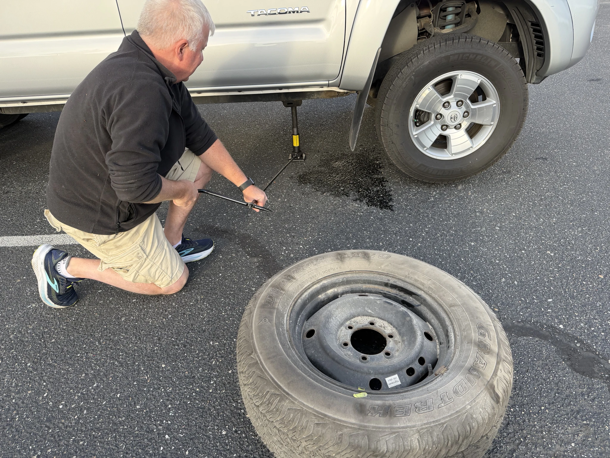
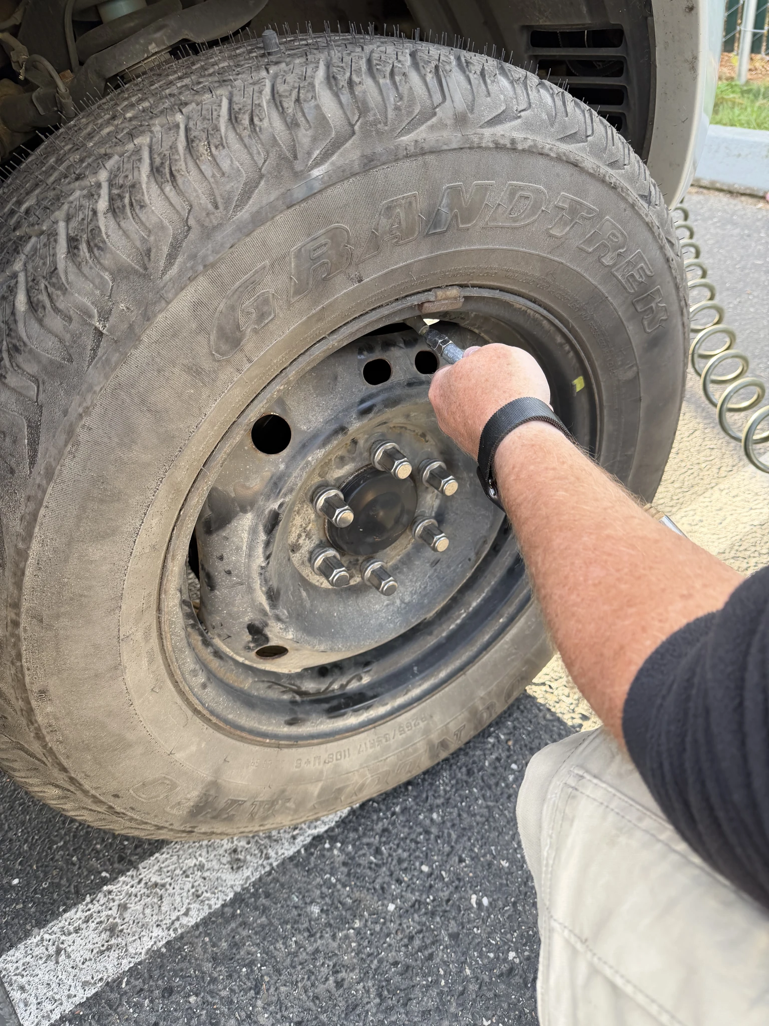
Good thing we stopped to do this at a gas station because the spare had been unused for a decade and was without air itself. Once pumped up, we were on our way.
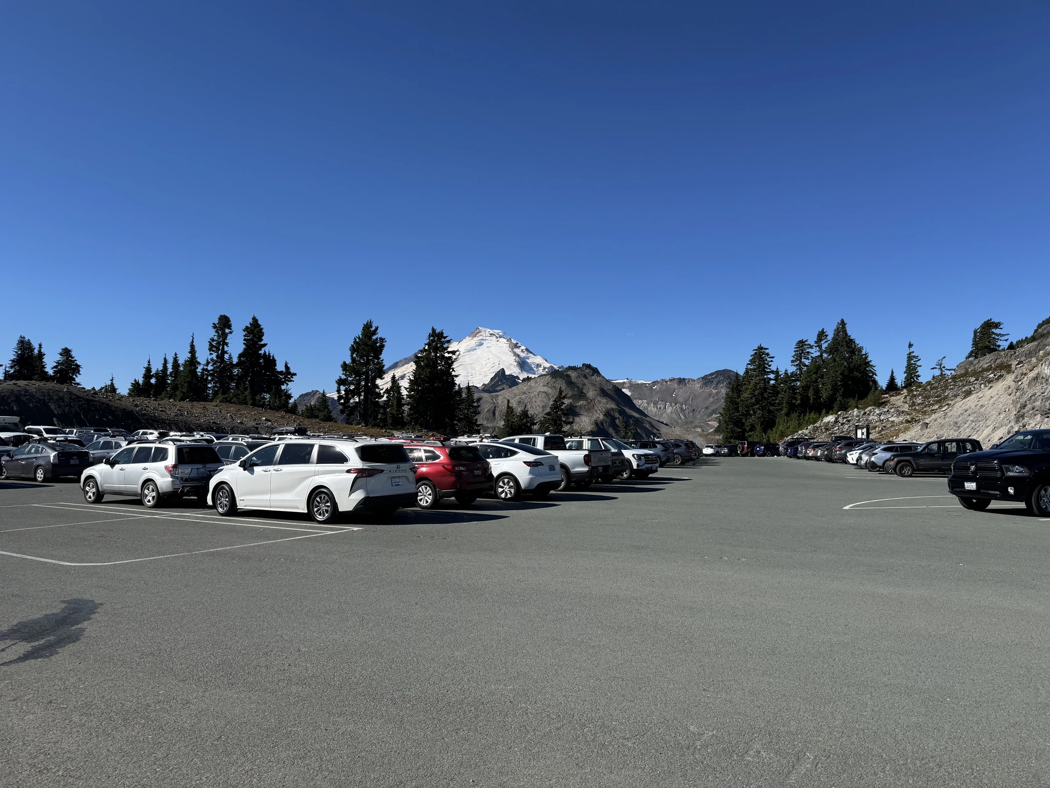
We made it to the Artist Point parking lot around 10:30 AM on a Thursday. There was still plenty of parking. Lots of folks simply come up to the parking lot and do some short site seeing walks here as there are nice views right off the parking area and on other stops on the way up.
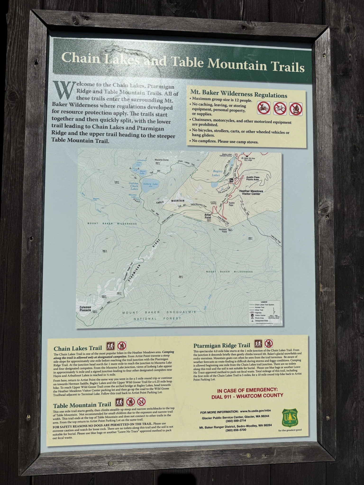
The posted trail sign indicated that there are two additional trails, “Chain Lake” and “Table Mountain”. We’ve never done those. We have done the “Ptarmigan Ridge” trail twice before, the last time four years ago.
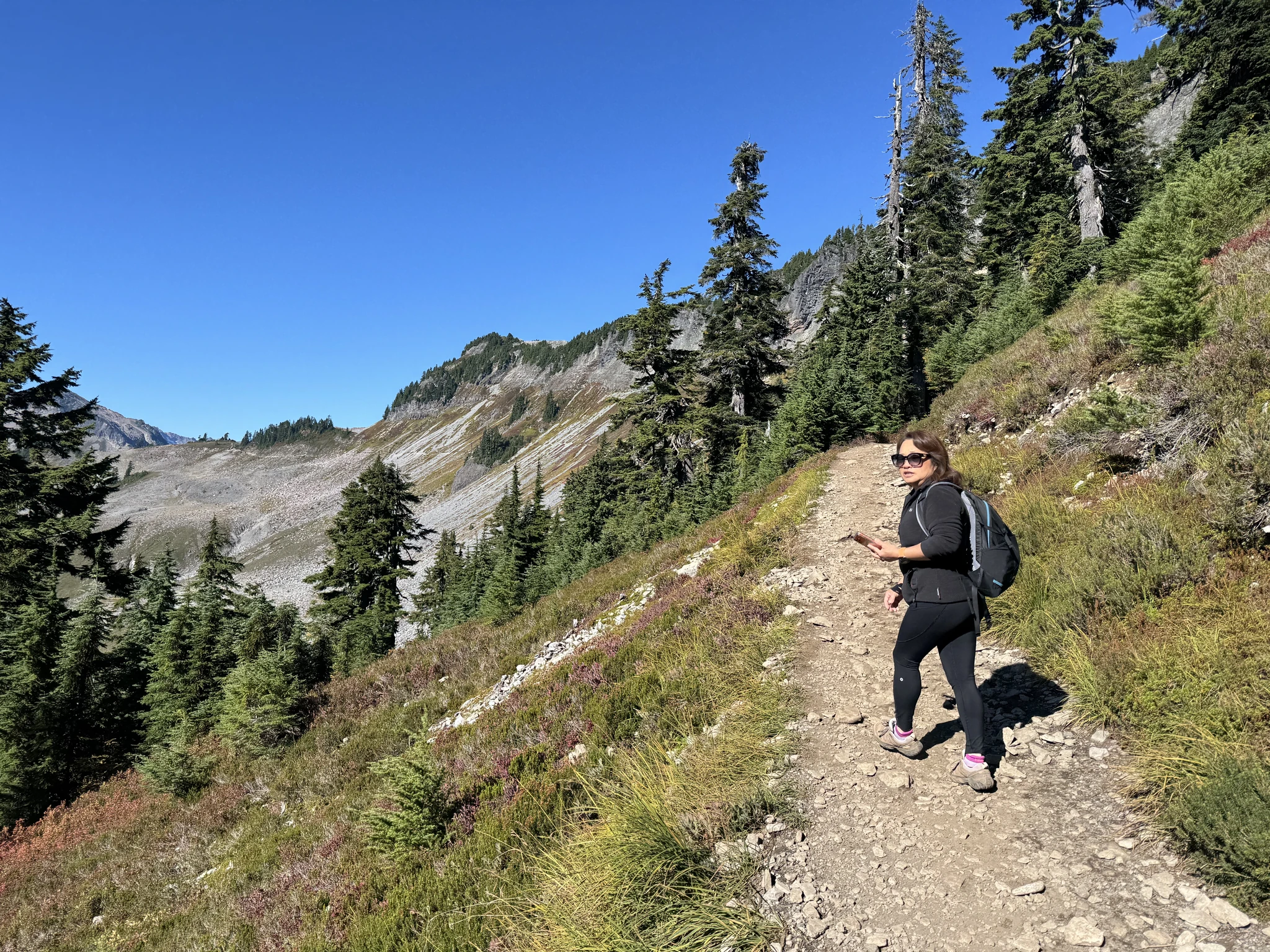
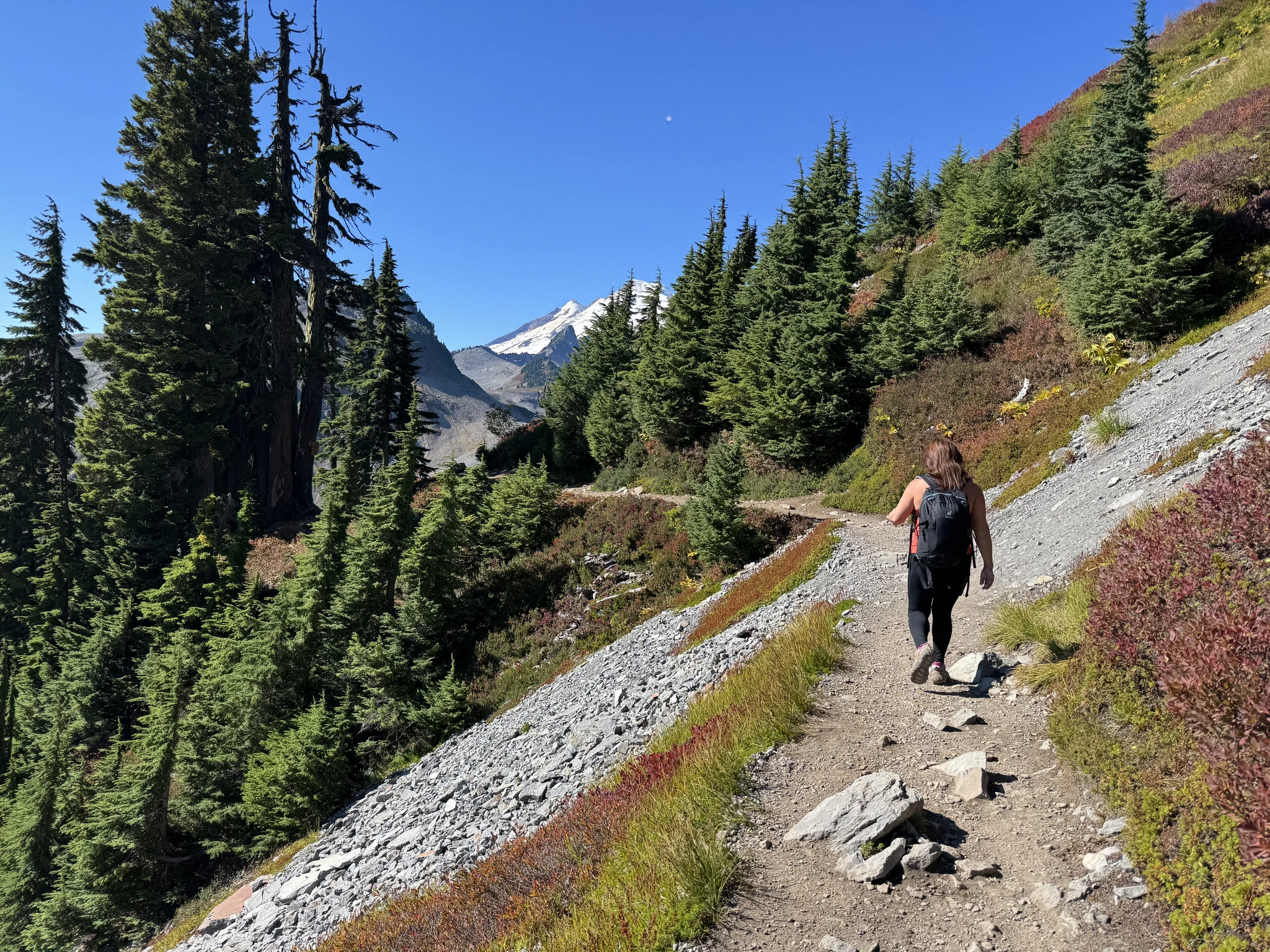
The trail starts along a hill side pretty highup and is an immediate visual treat.
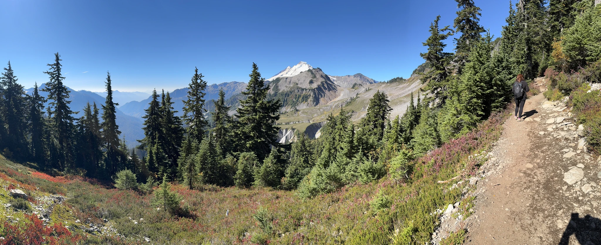
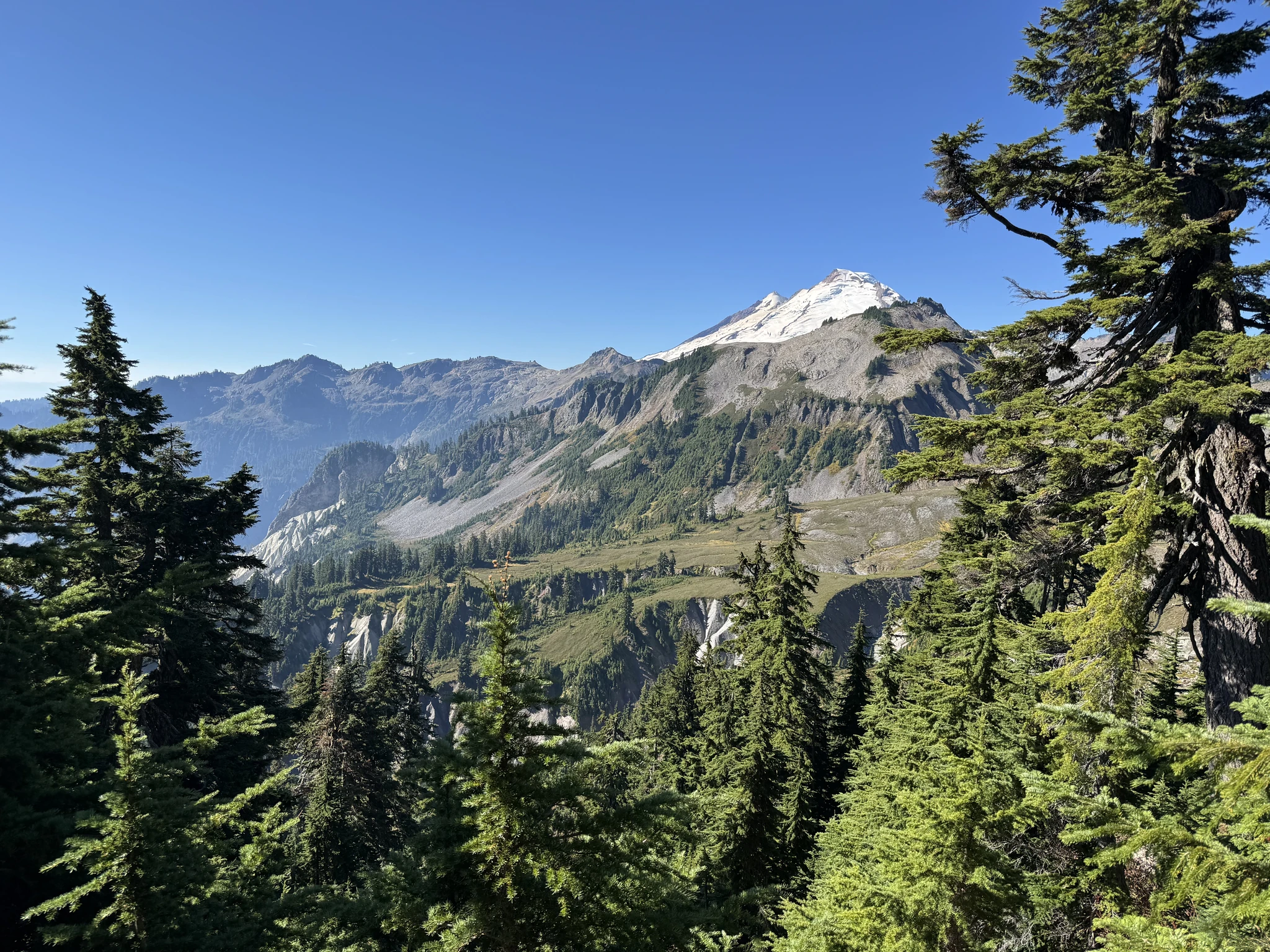
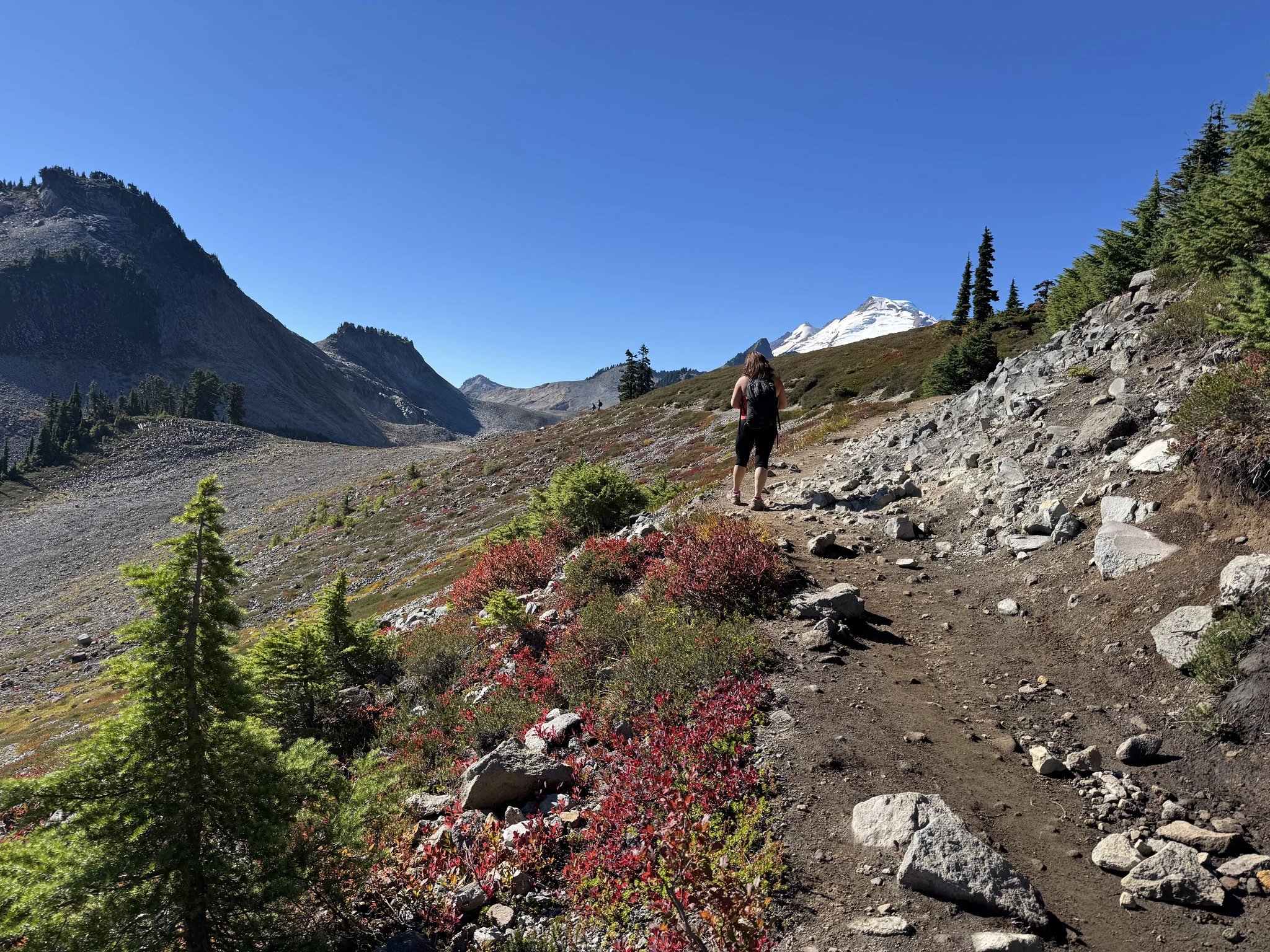
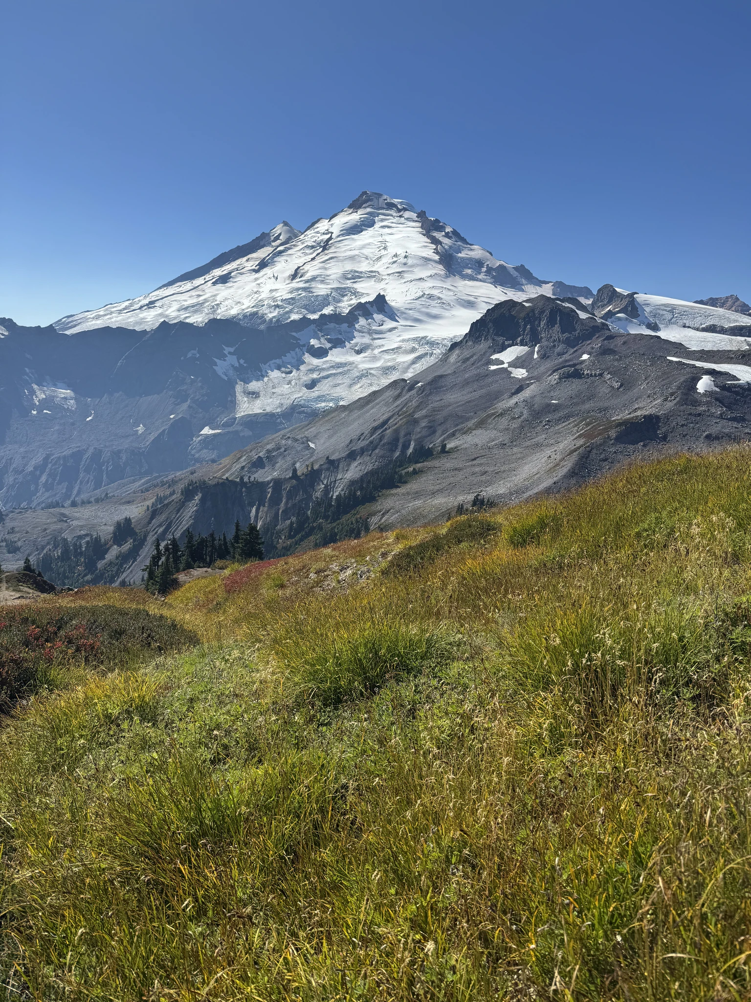
Mount Baker is partially obscured. On our hike we will get progressively better vantage points to view the mountain.
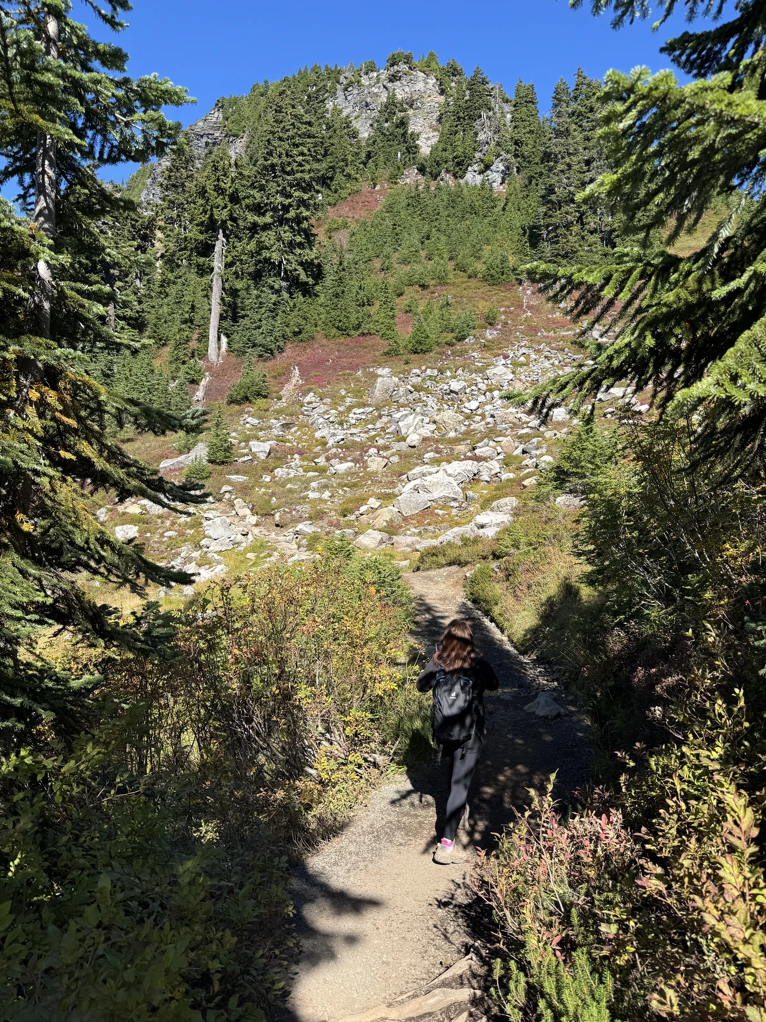
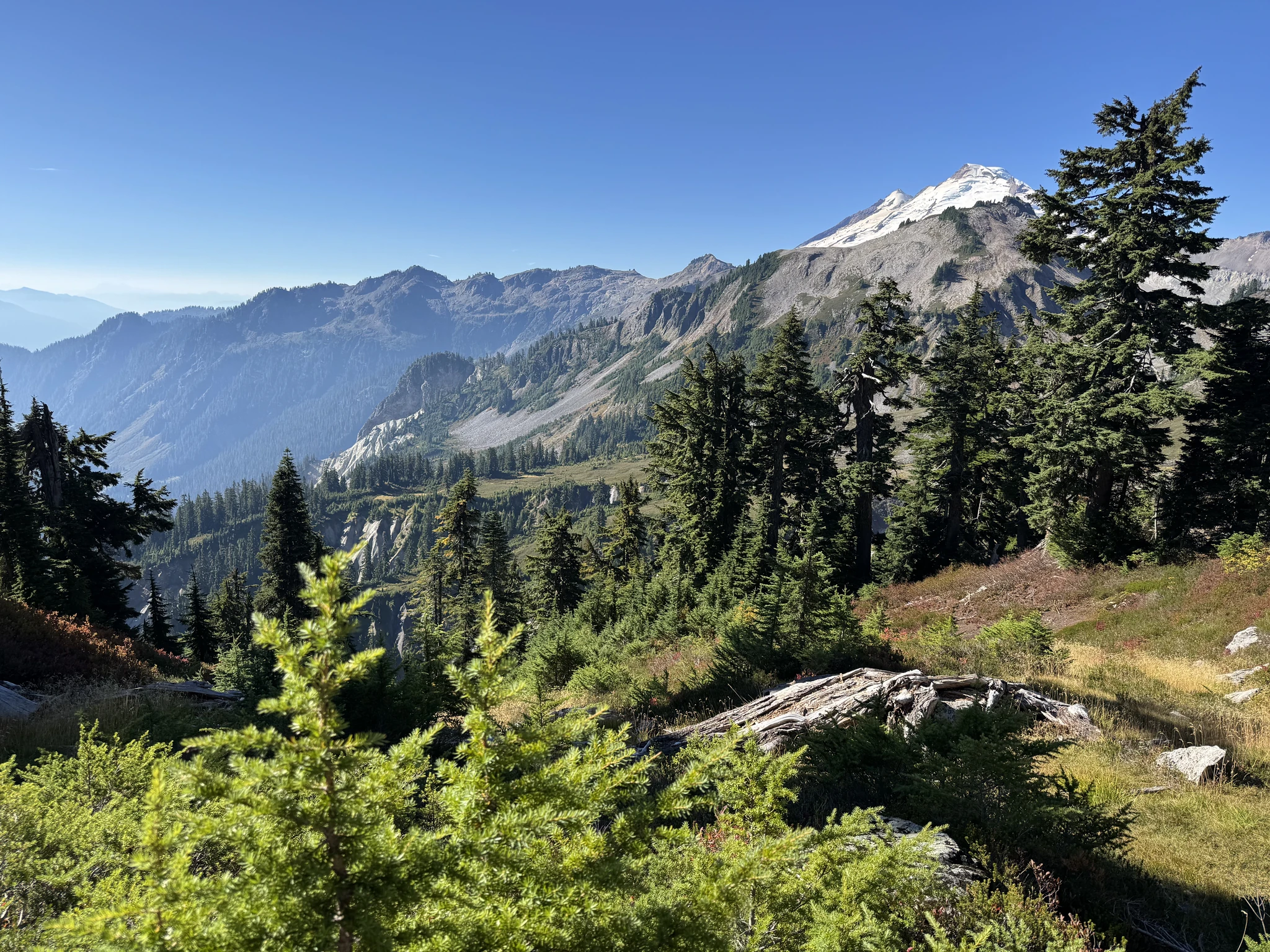
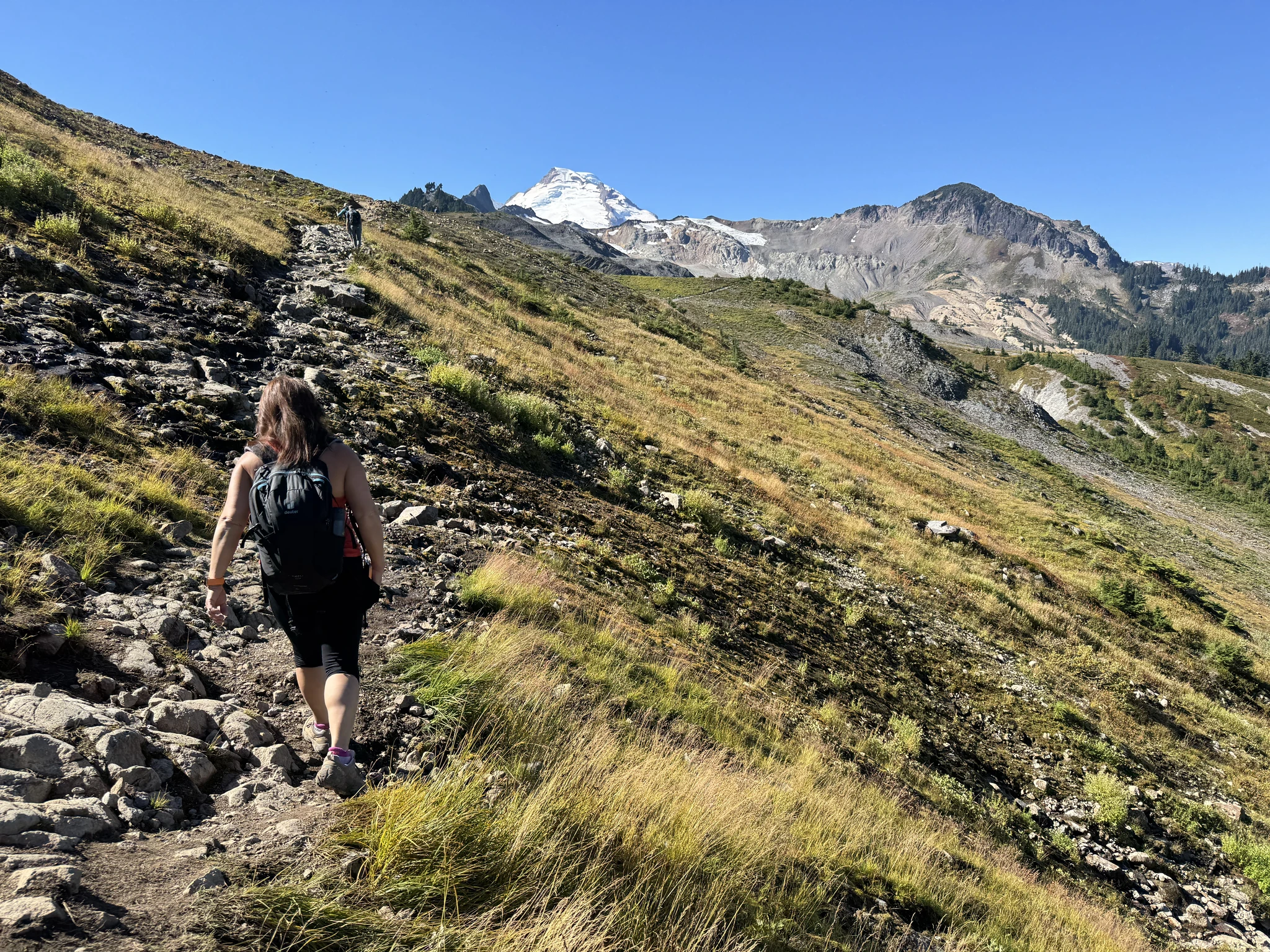
The trail is generally out in the open and you can often see off in the distance where it is going to or coming from.
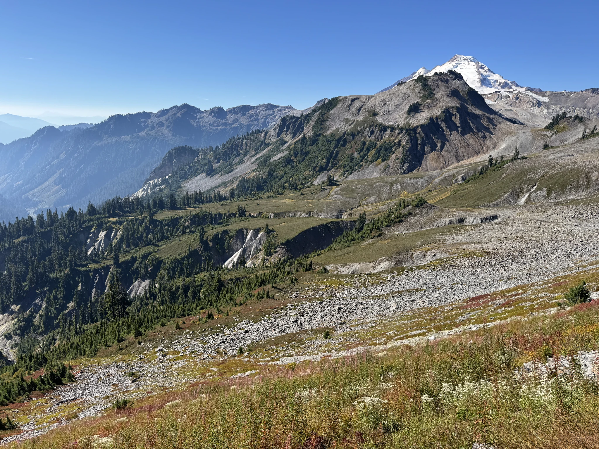
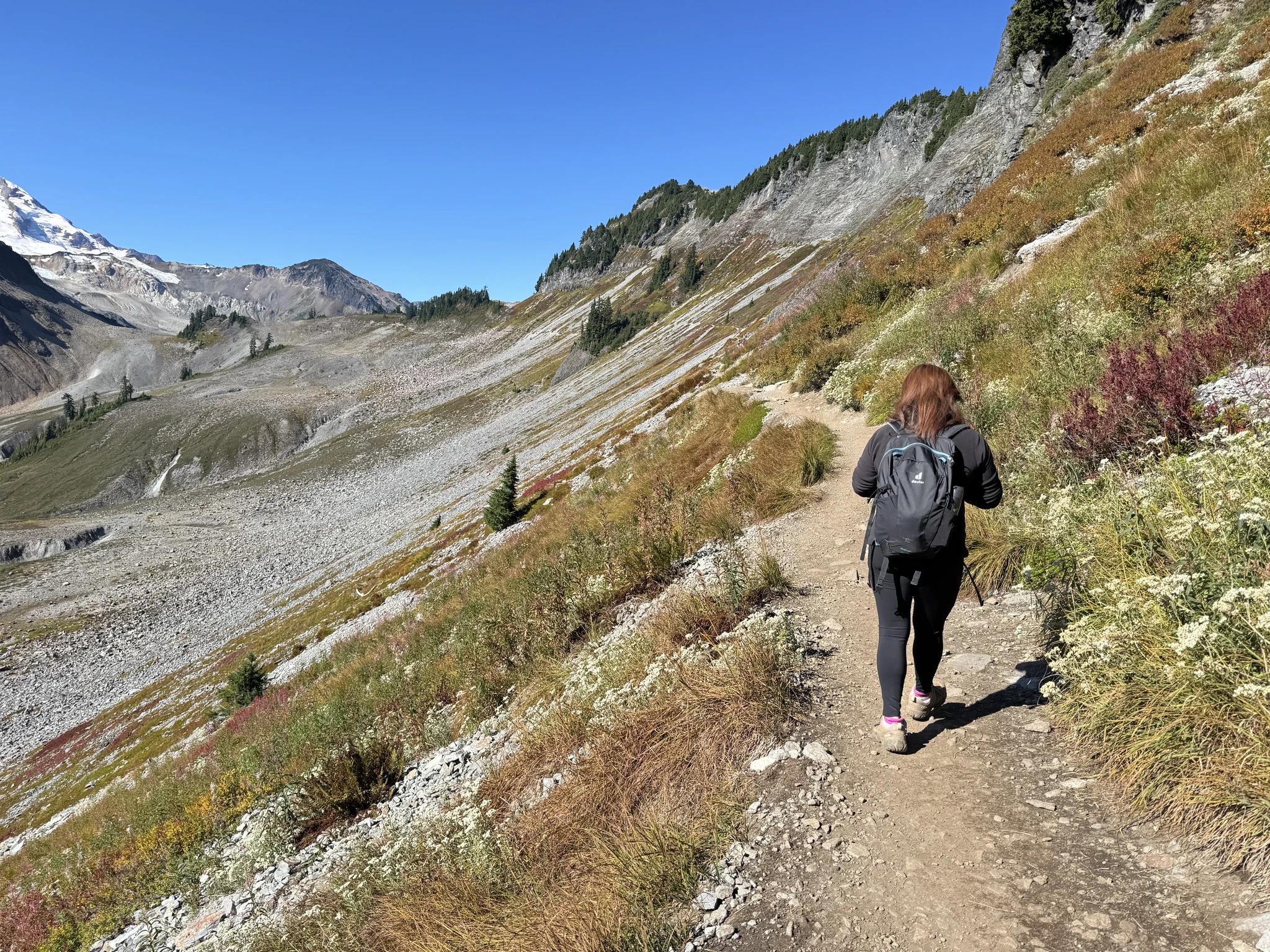
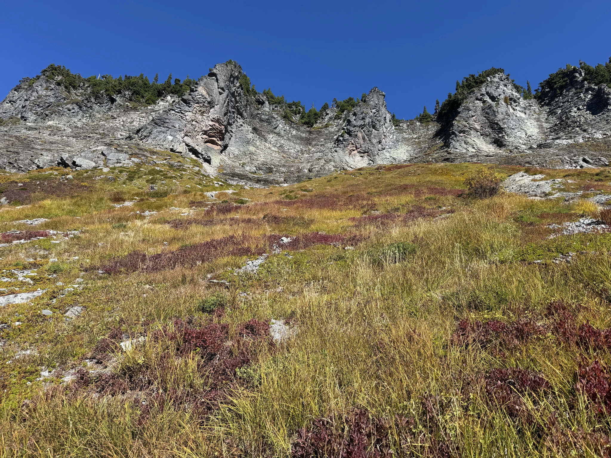
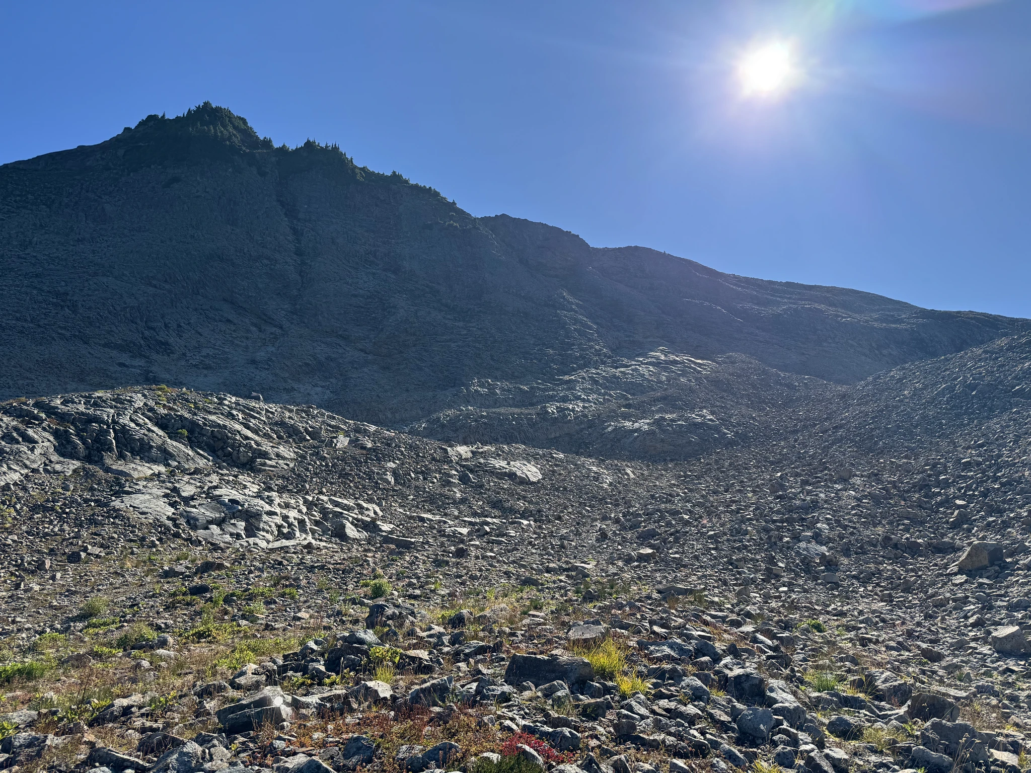
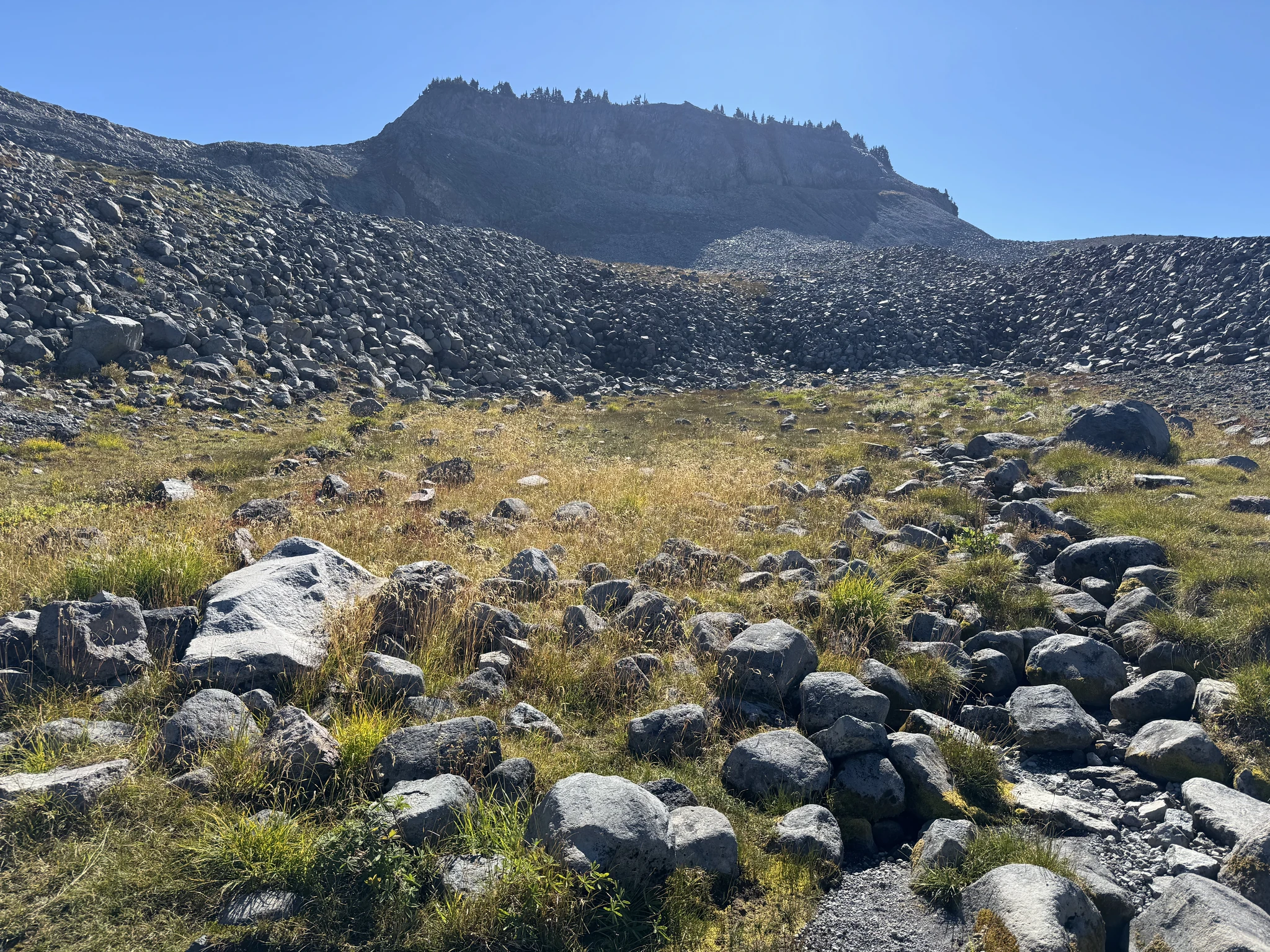
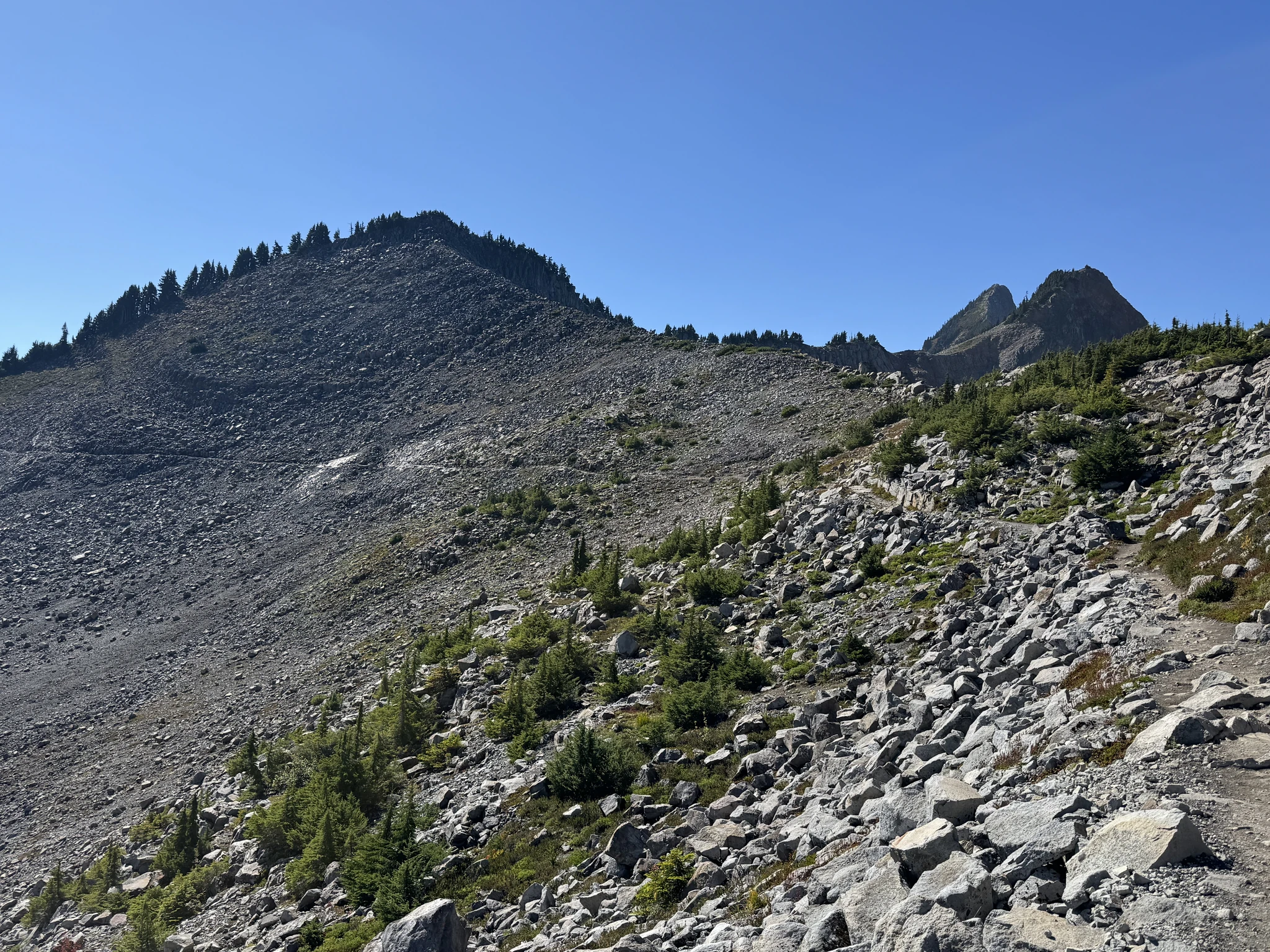
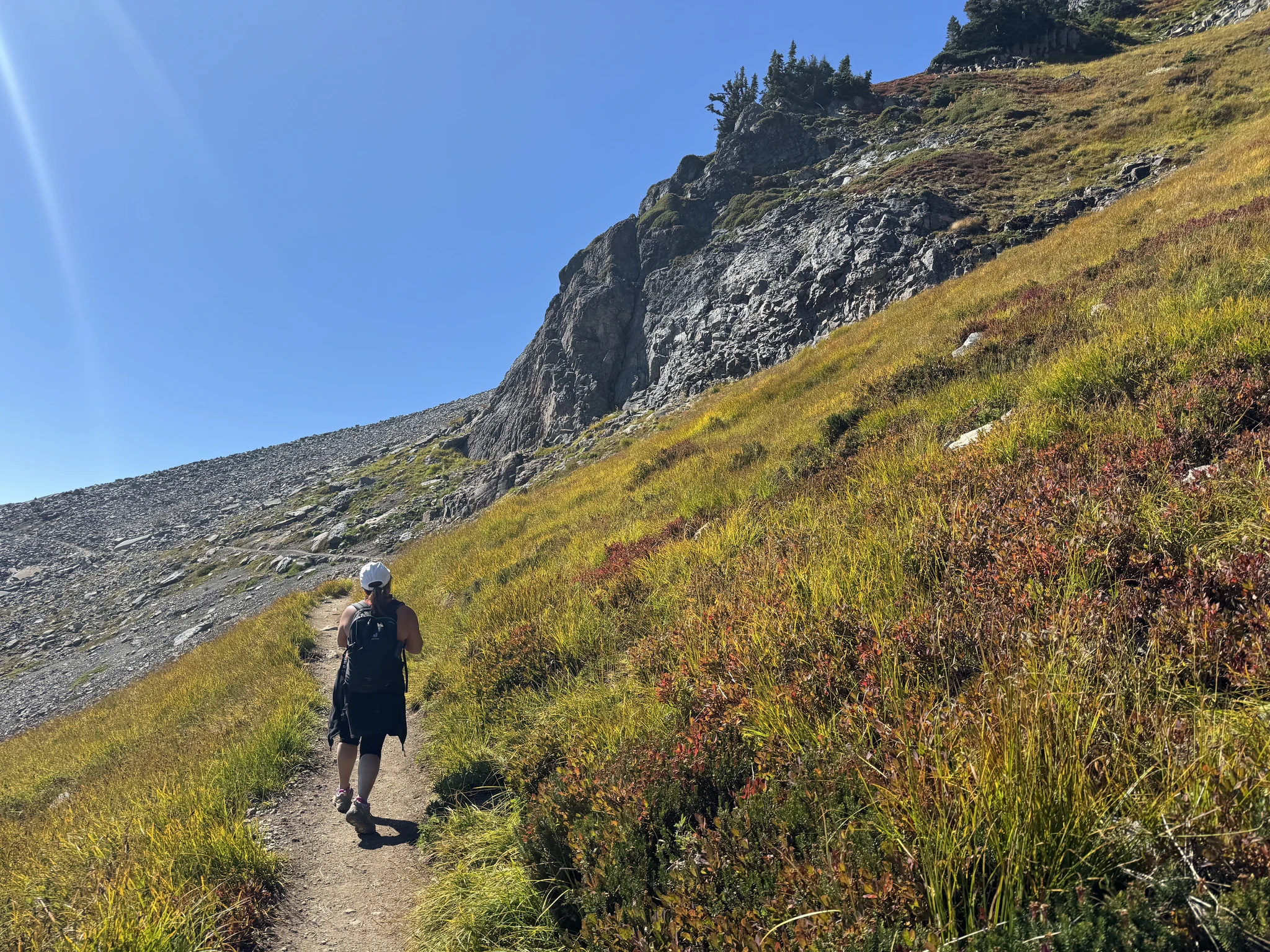
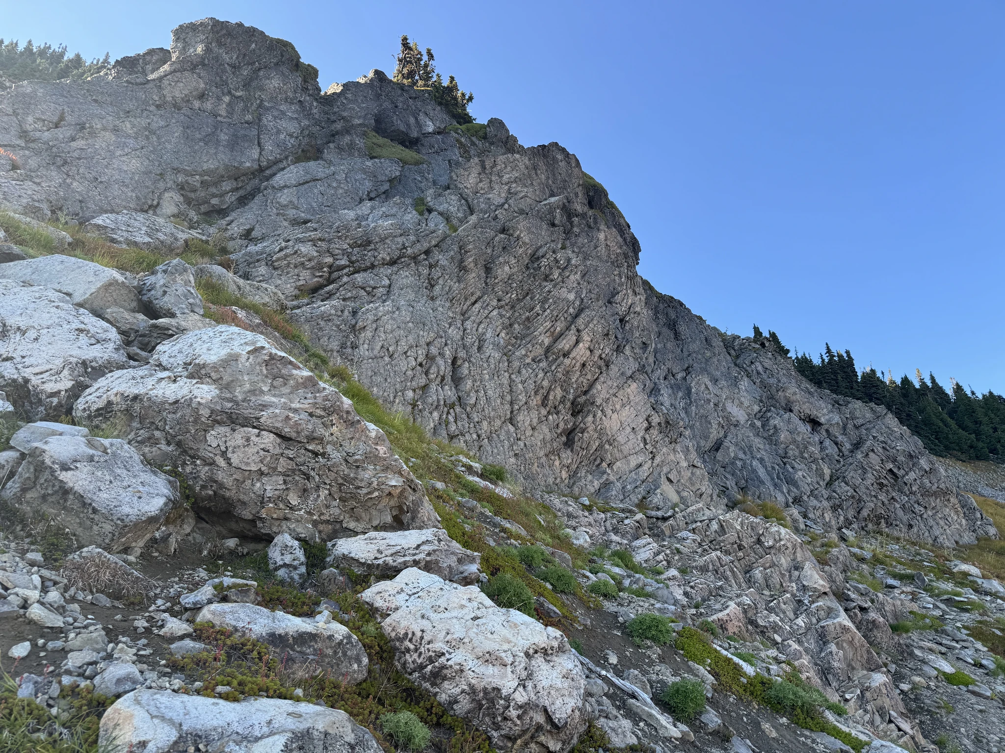
Looking up the hill we are hiking on, there are often interesting rock formations.
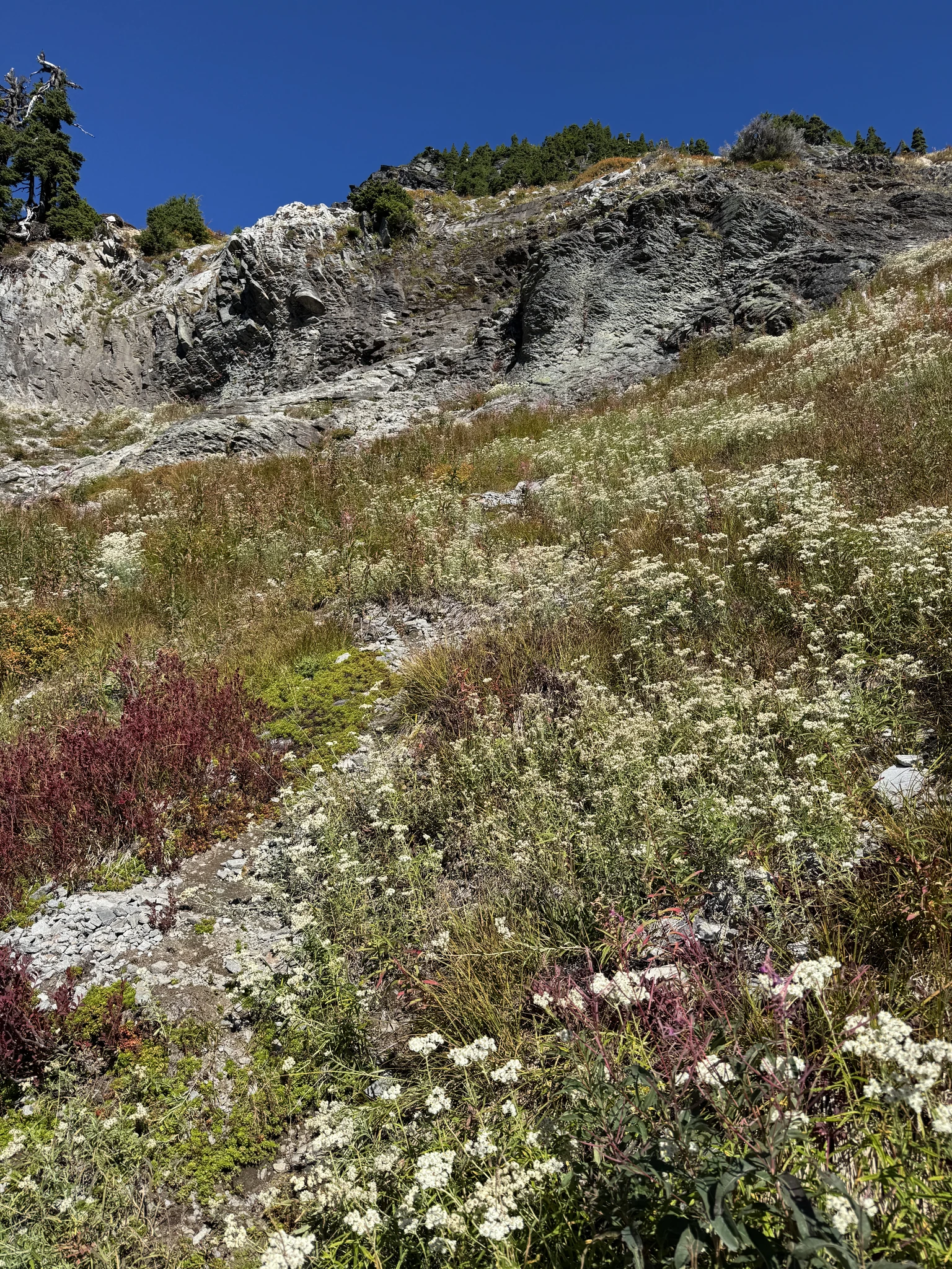
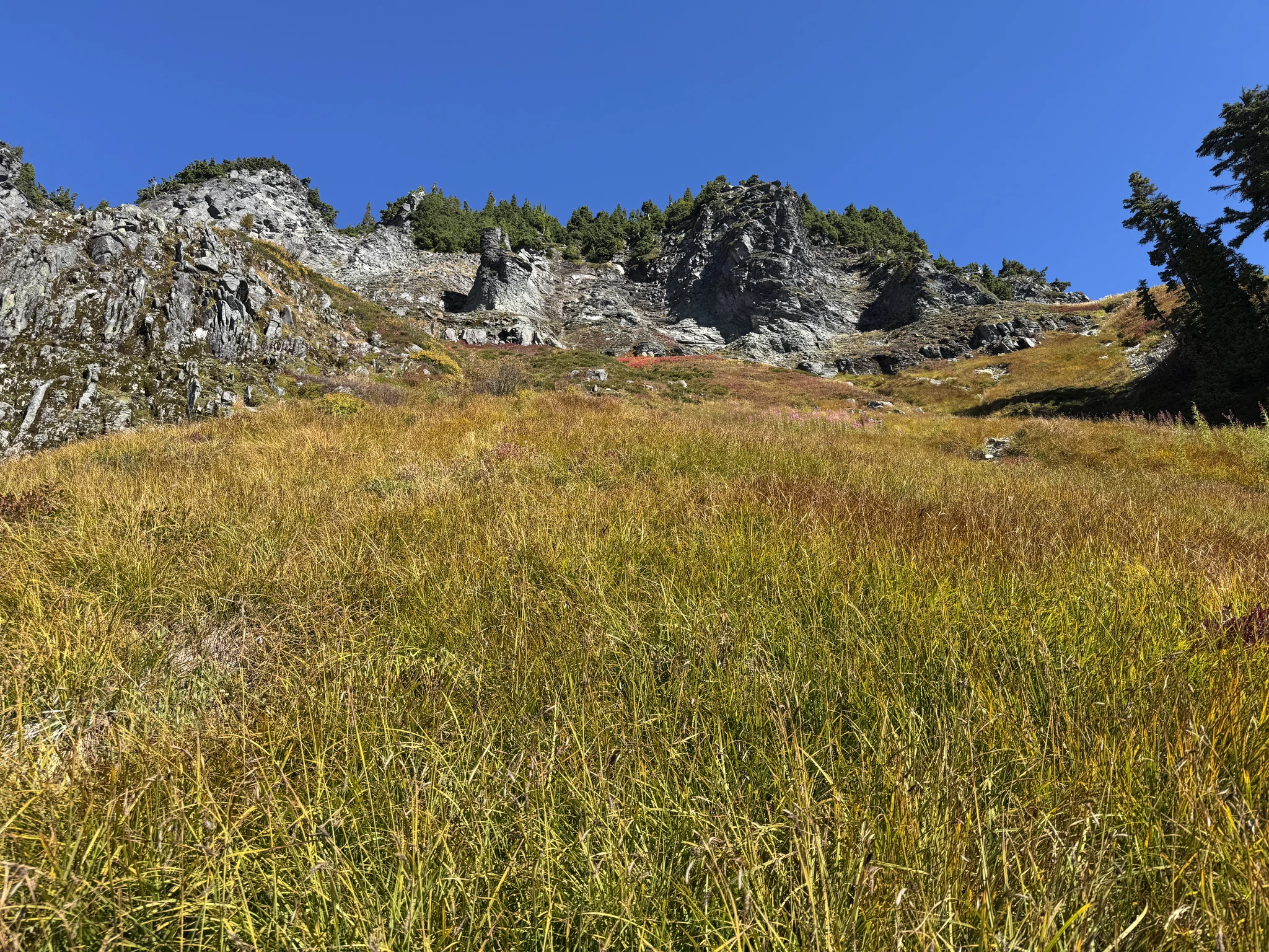
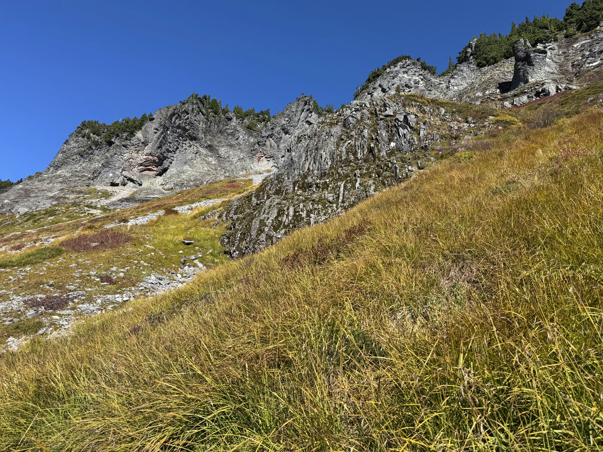
There is a valley far below us and a hill far above us.
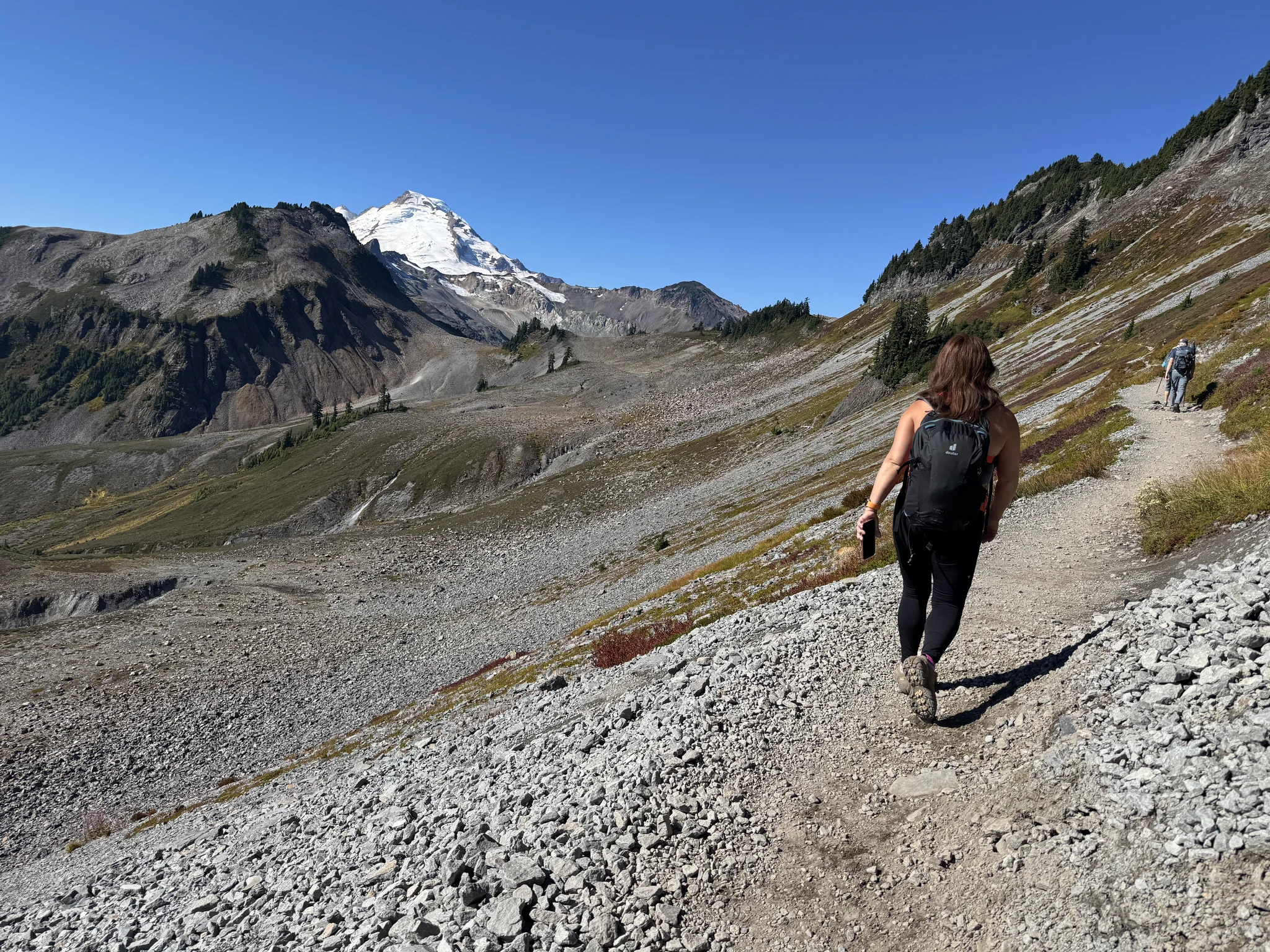
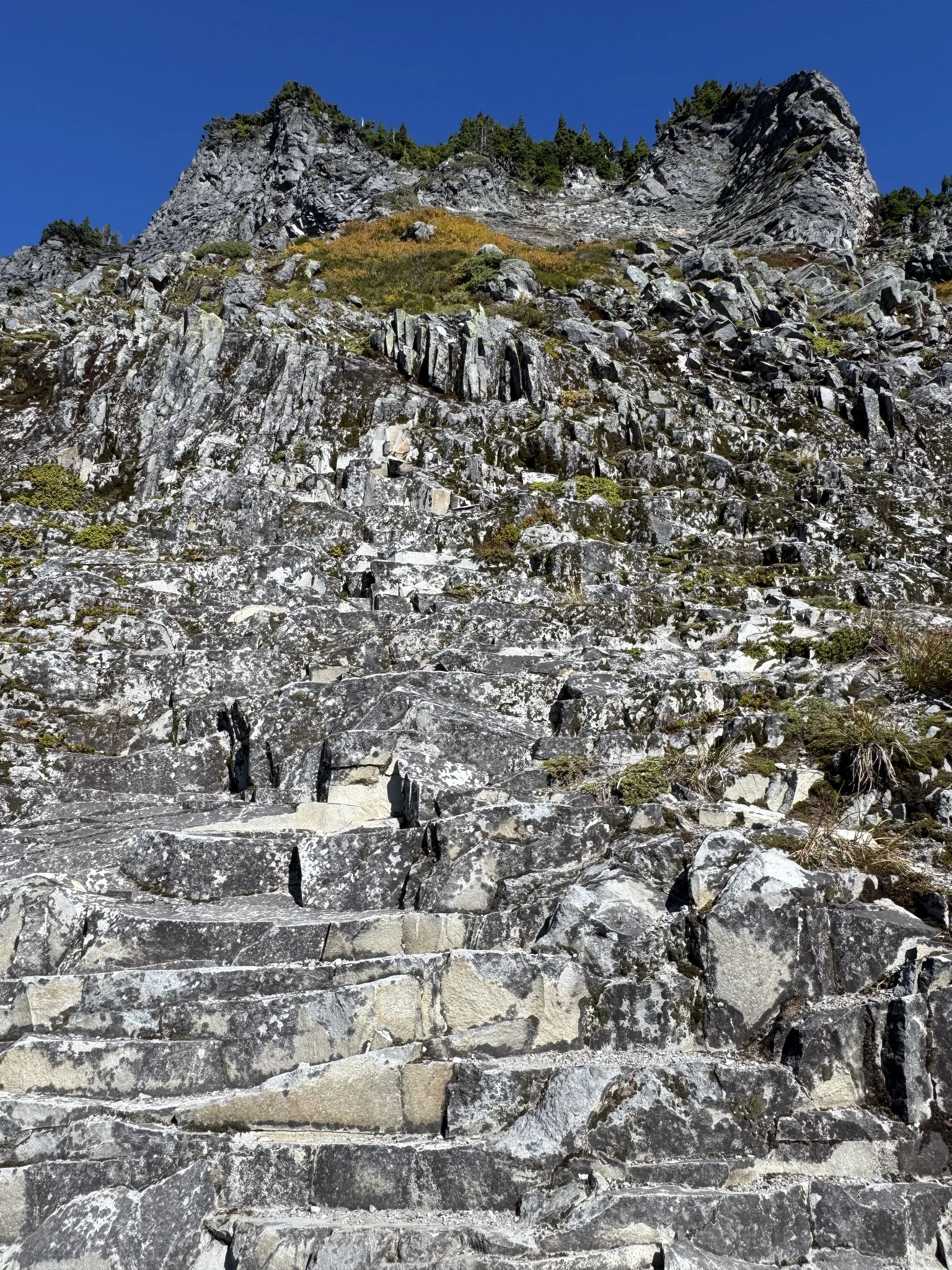
The trail crosses a rock formation of slate like rocks with neatly flat cuts. It looks like something from a fantasy novel or film.
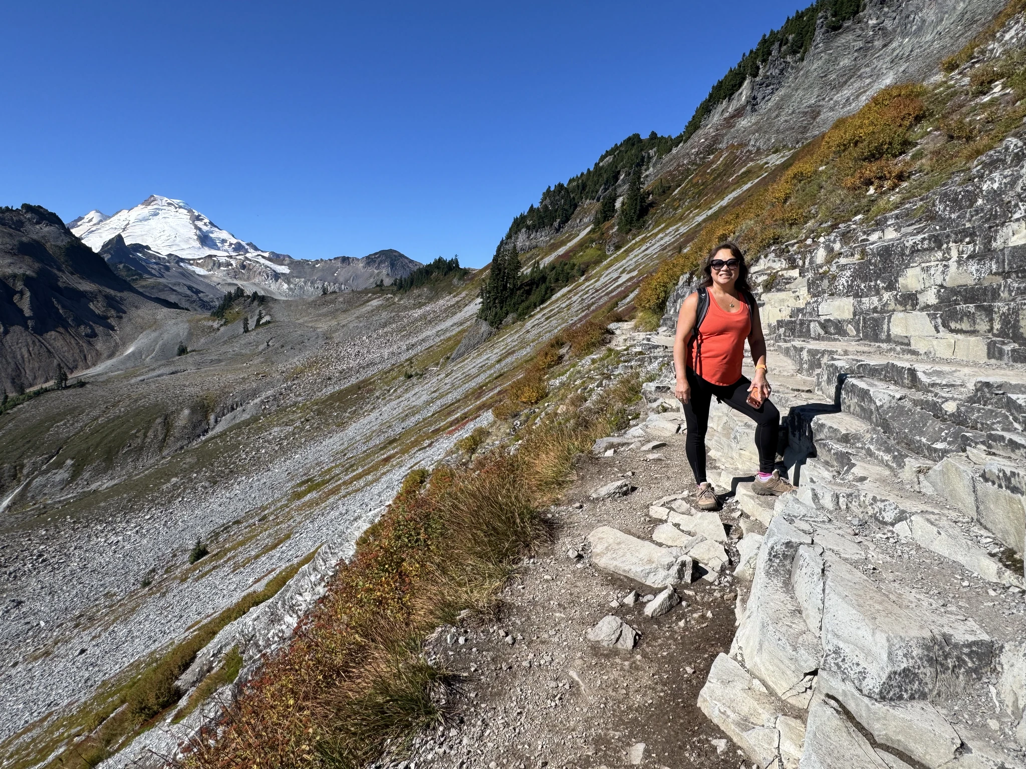
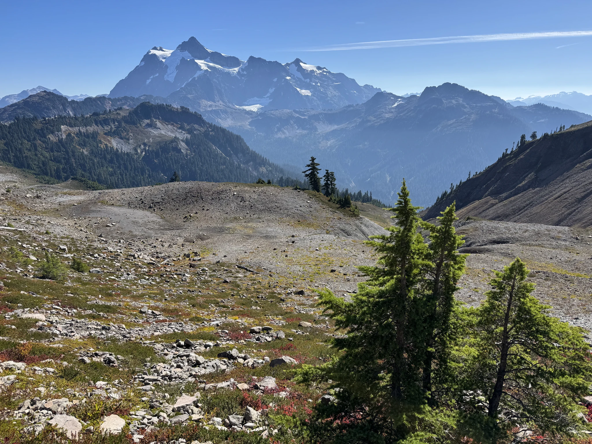
Looking back we can see the mountain view that was also visible from Artist Point.
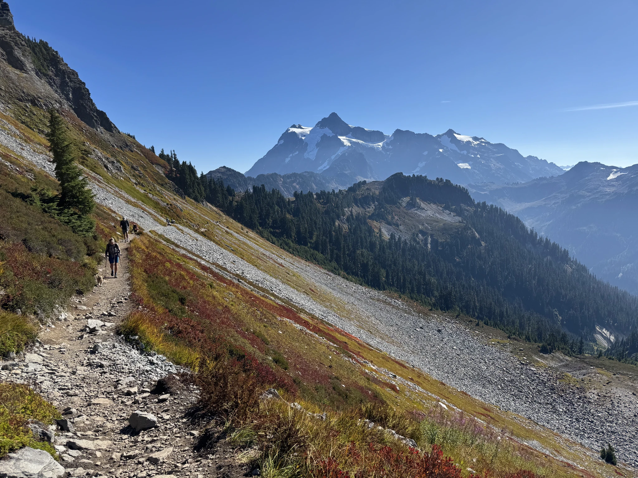
A short break in the trees before being out in the open again. The weather is good and there is a nice breeze so being out in the open sun today is actually quite comfortable.
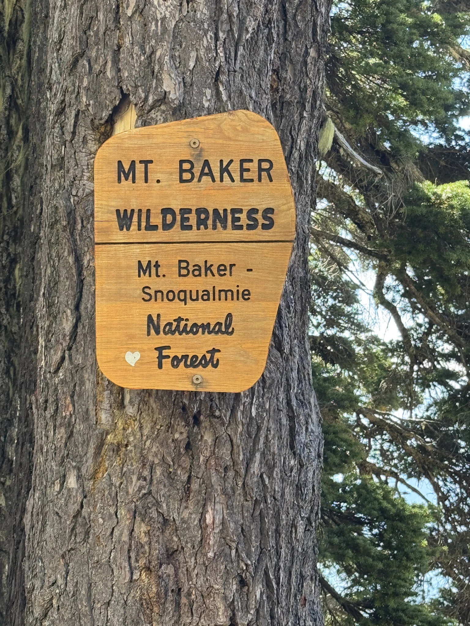
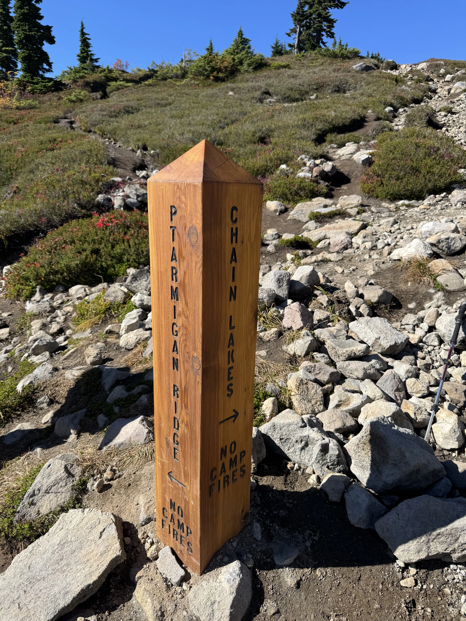
This marker indicates a split in the trail where you can choose to go to Ptarmigan Ridge (where we are going) or Chain Lakes Loop which per the WTA page is about 6.5 miles round trip. We will need to try this sometime.
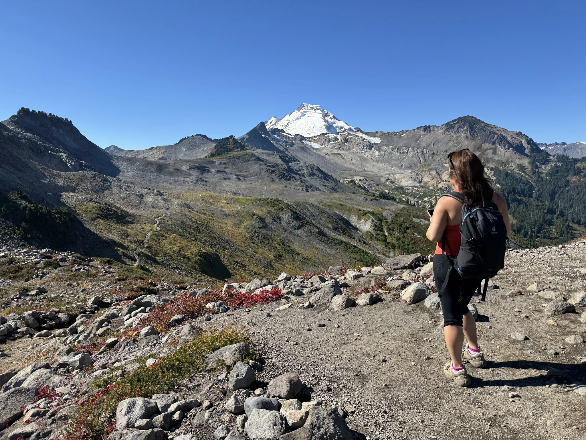
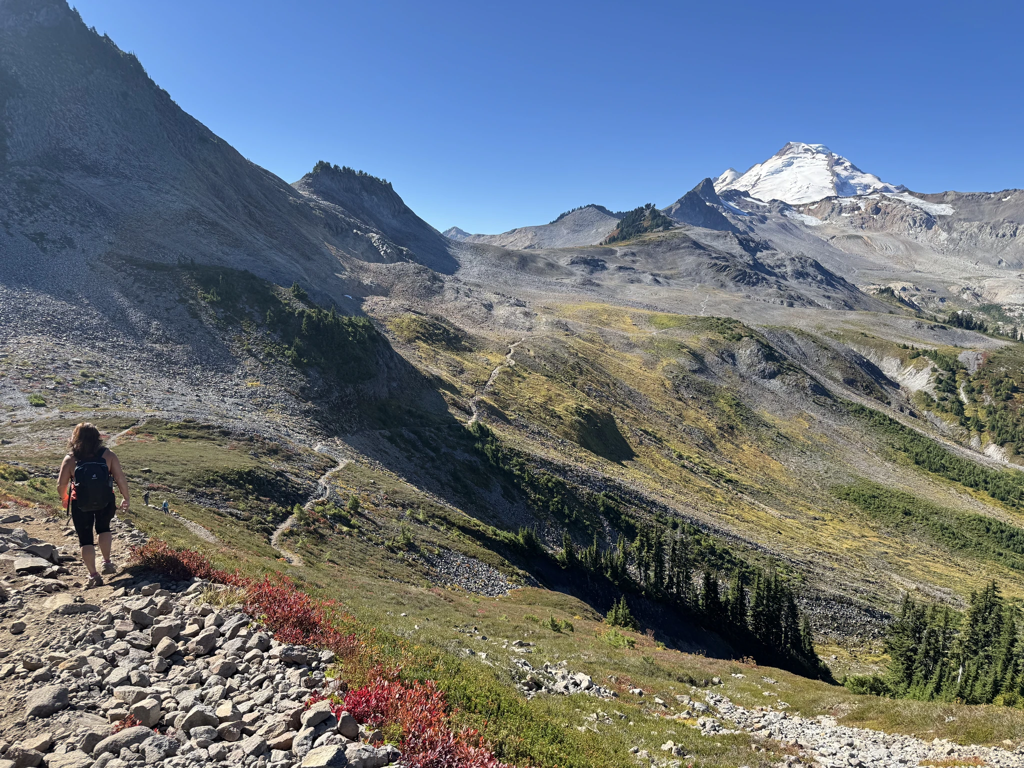
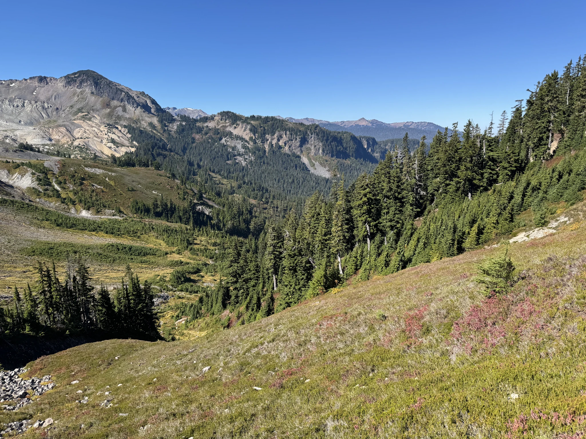
On we go.
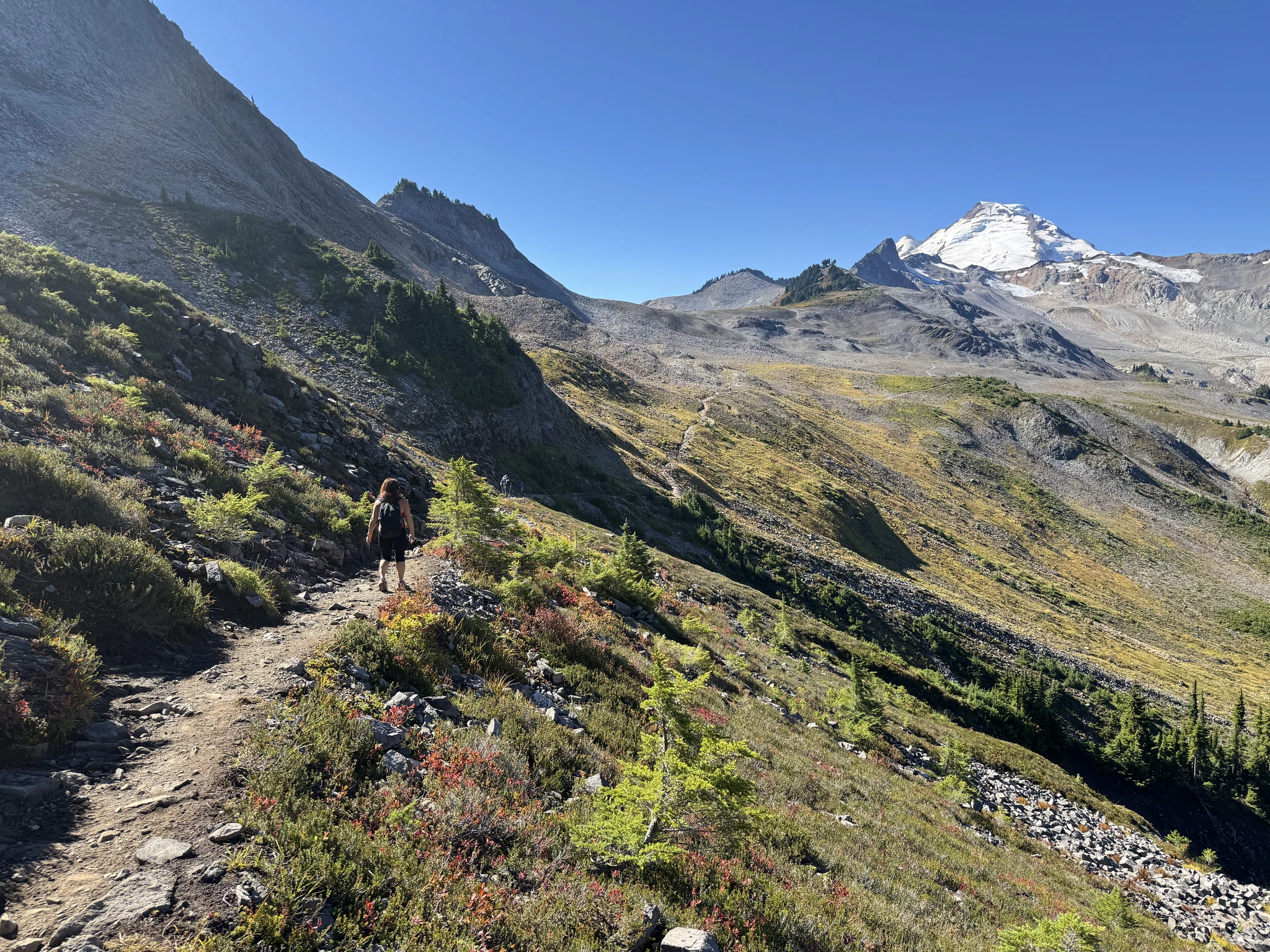
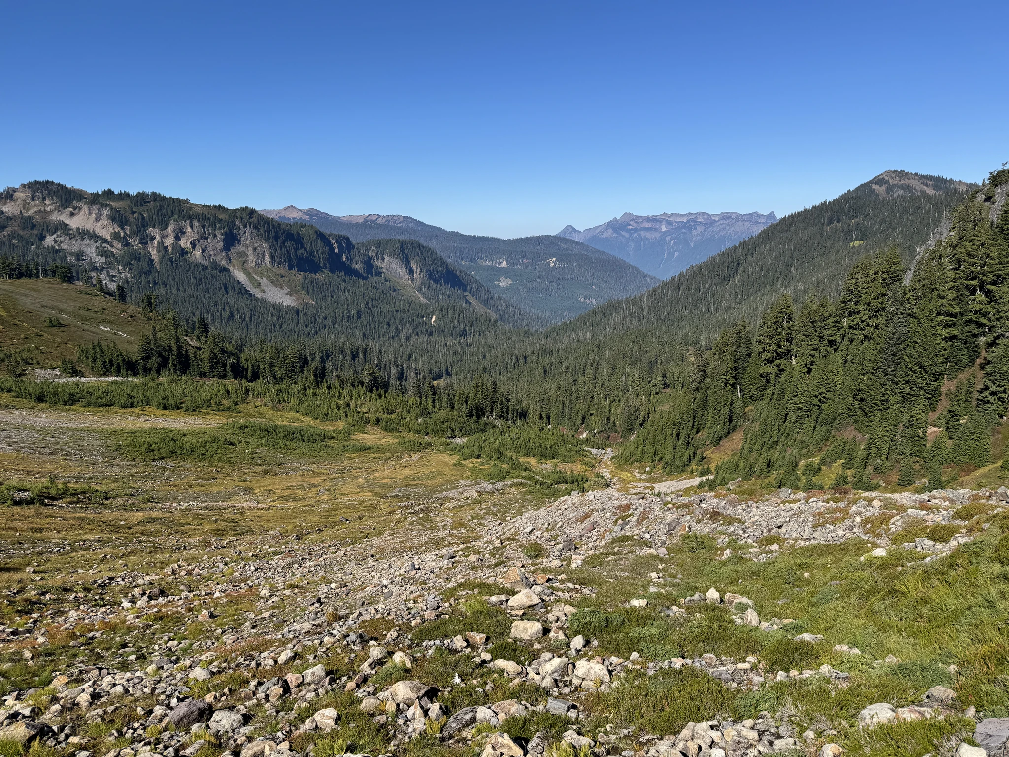
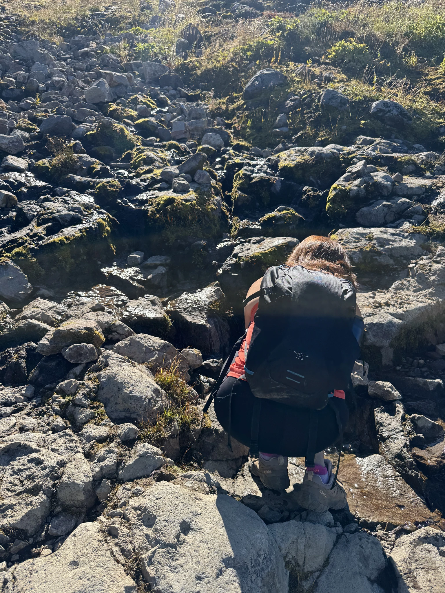
Ying rinses her hands in a stream.
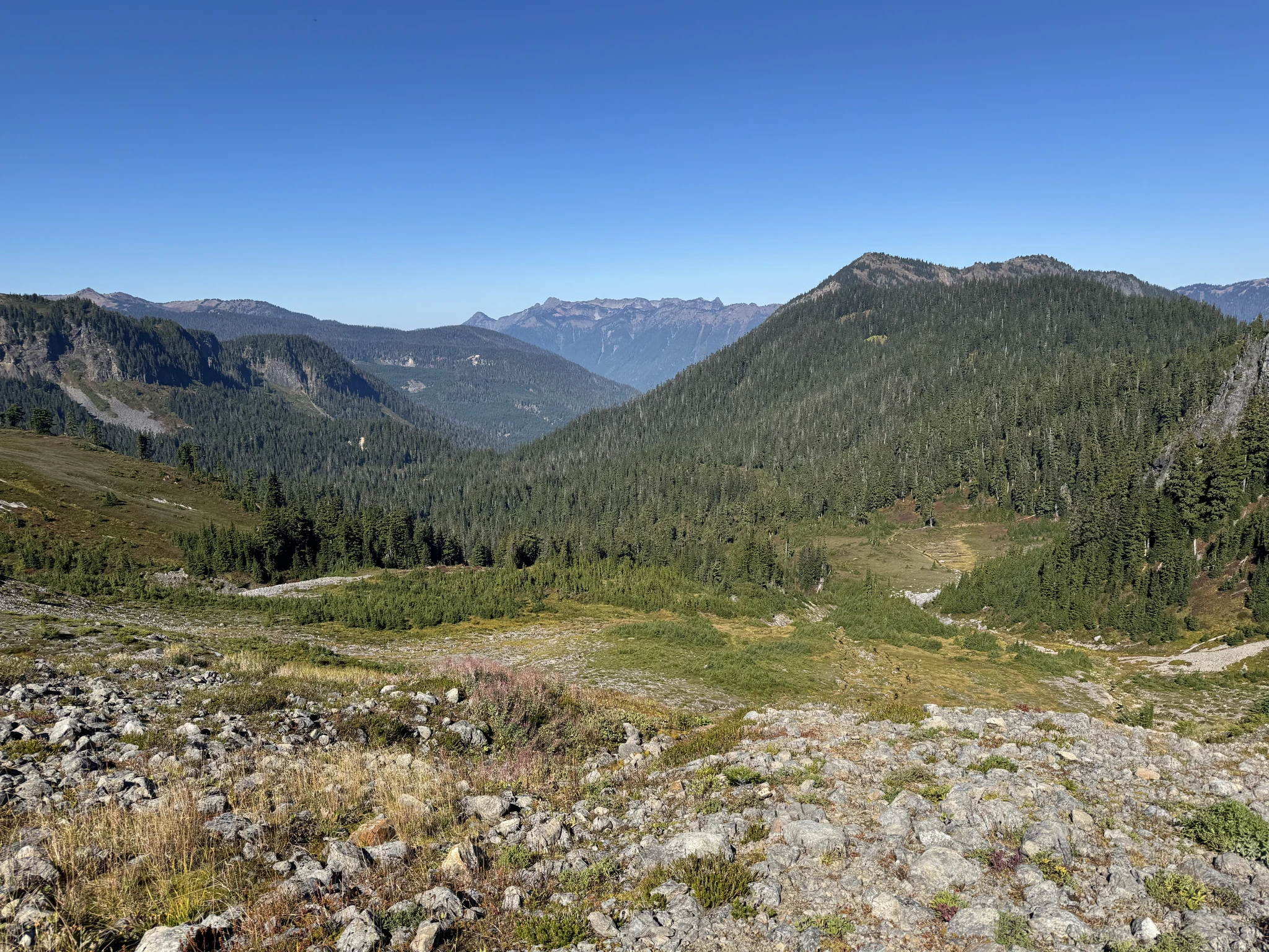
I take some pictures of the surrounding views currently around us.
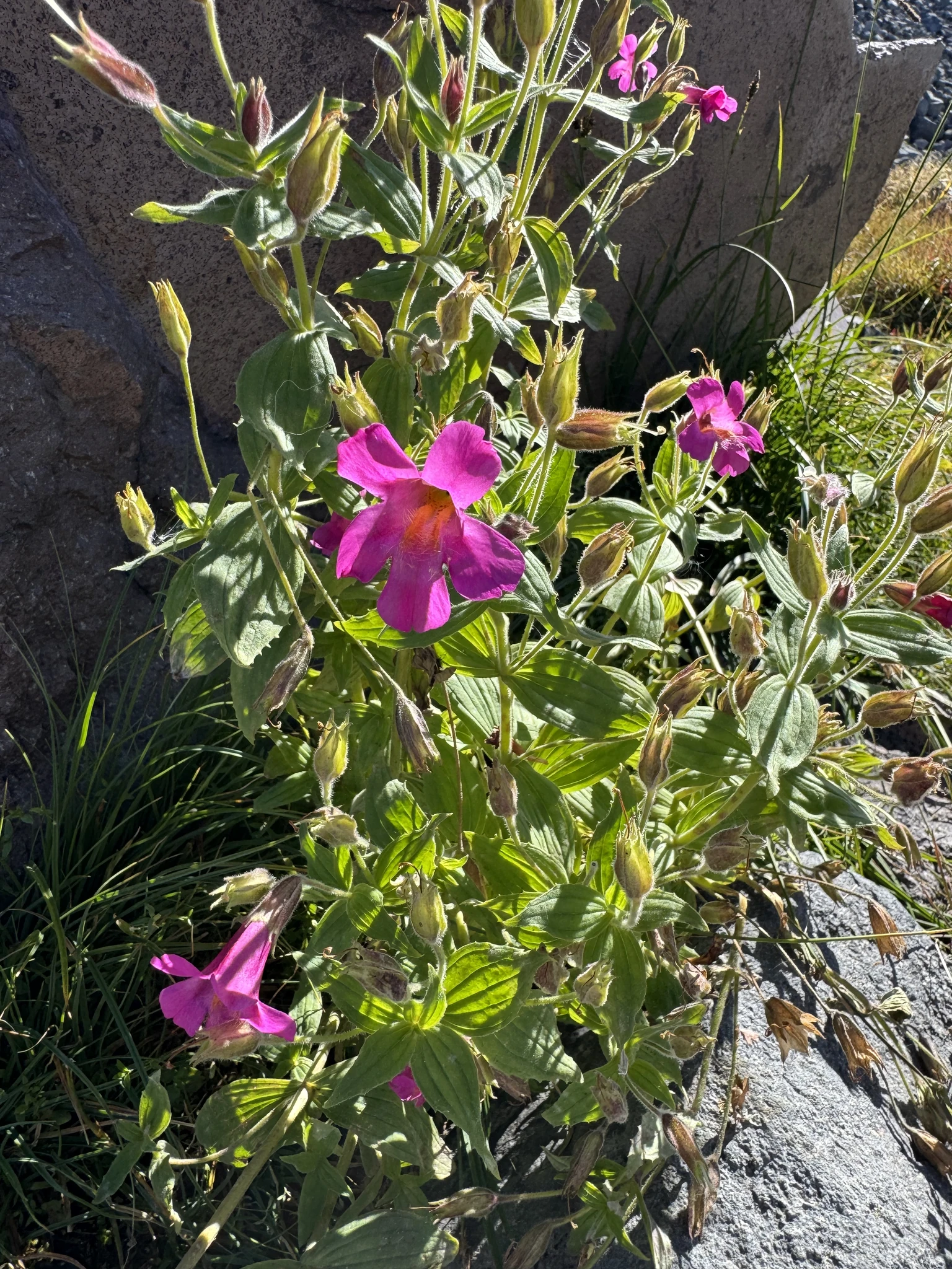
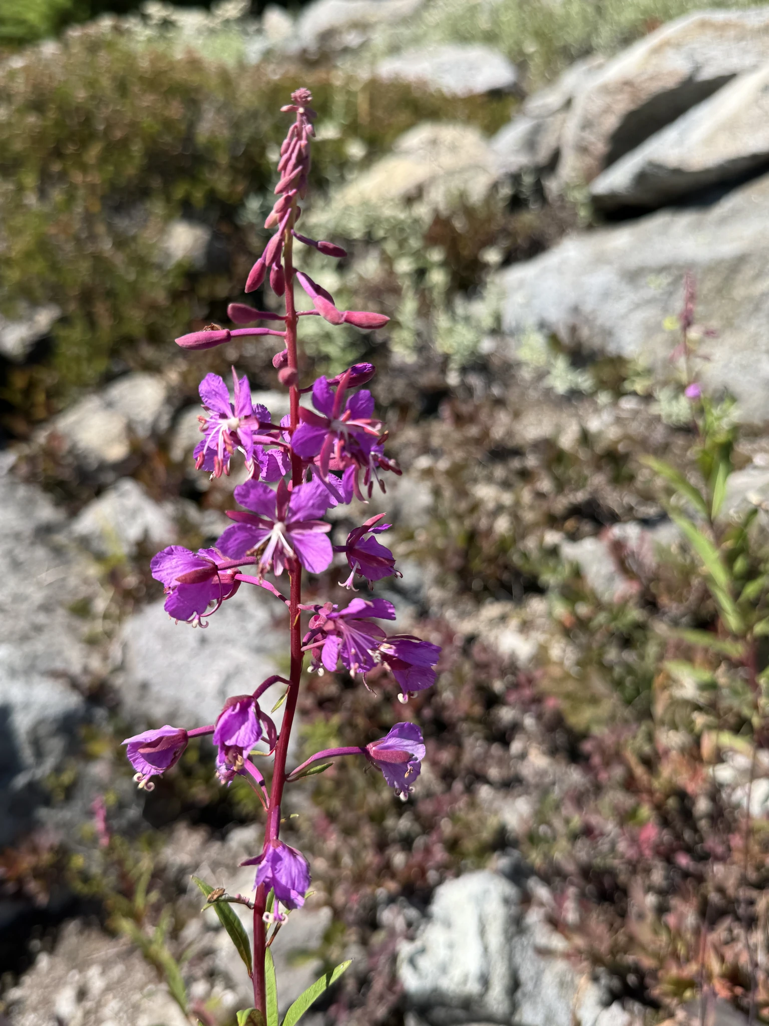
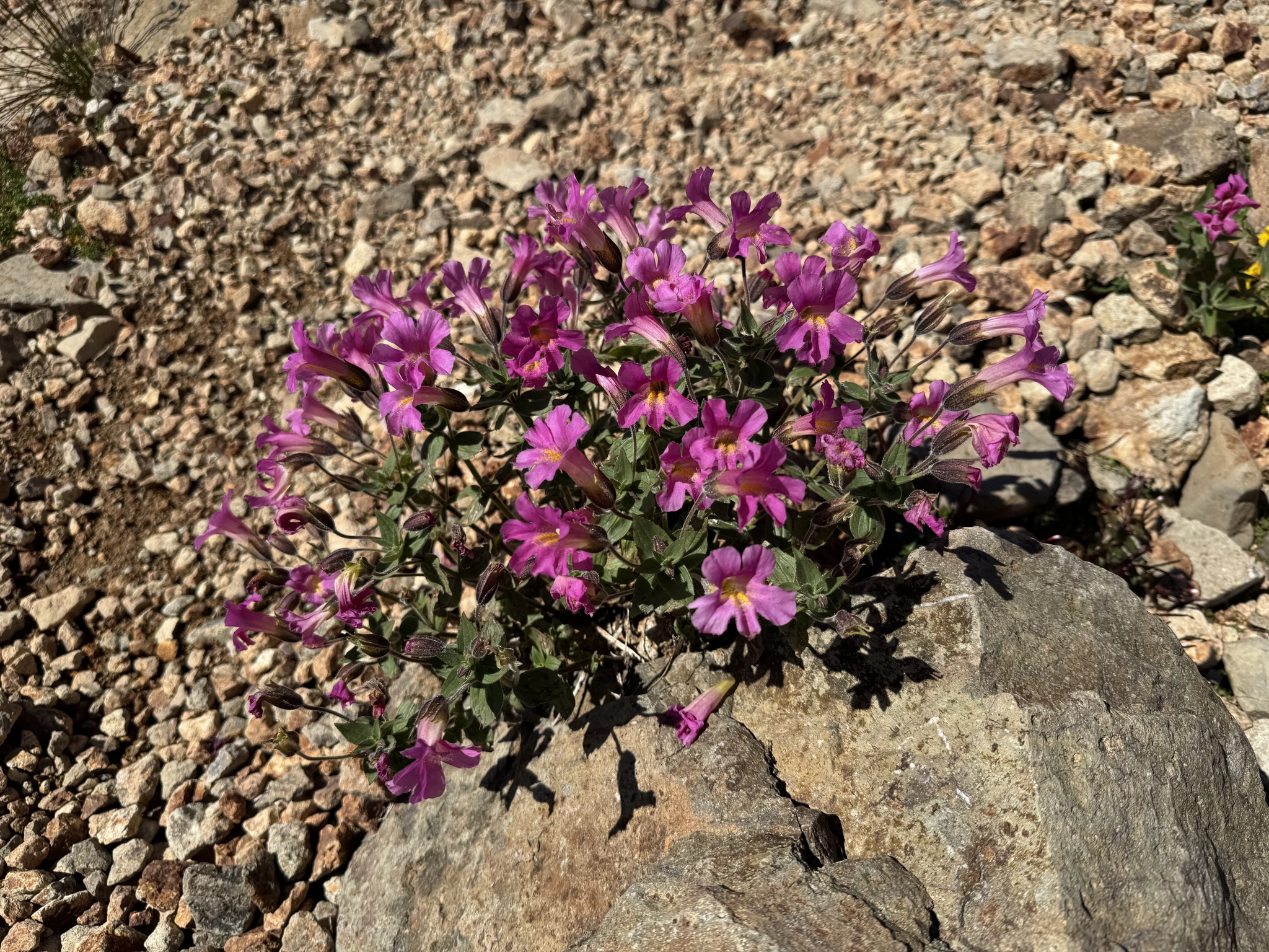
These flowers are mostly found where snow melt might still be providing water.
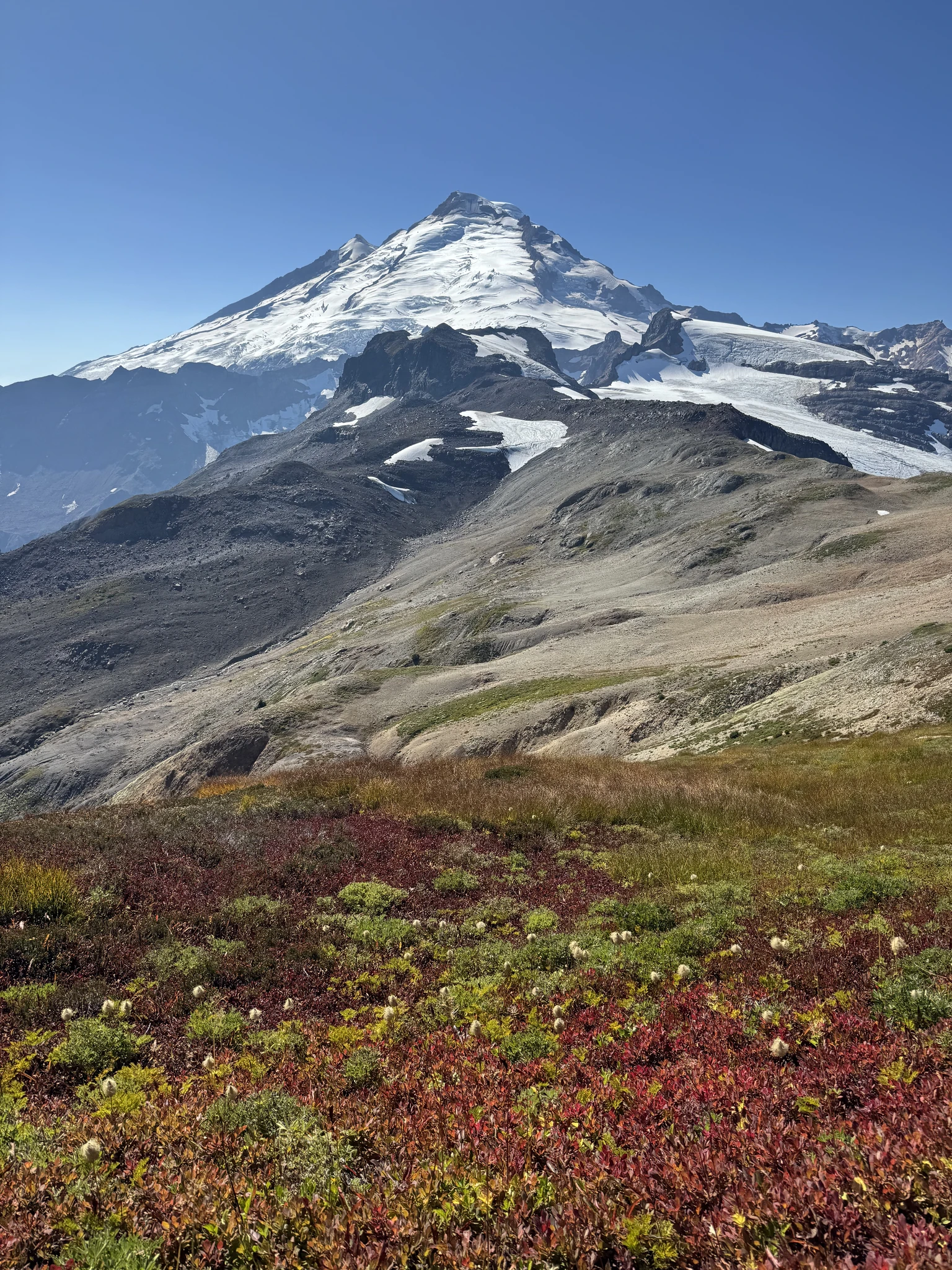
We arrived at the colorful open field. We are excited to get some pictures here as we have done on our previous trips out here. A few other hikers are here as well doing the same thing.
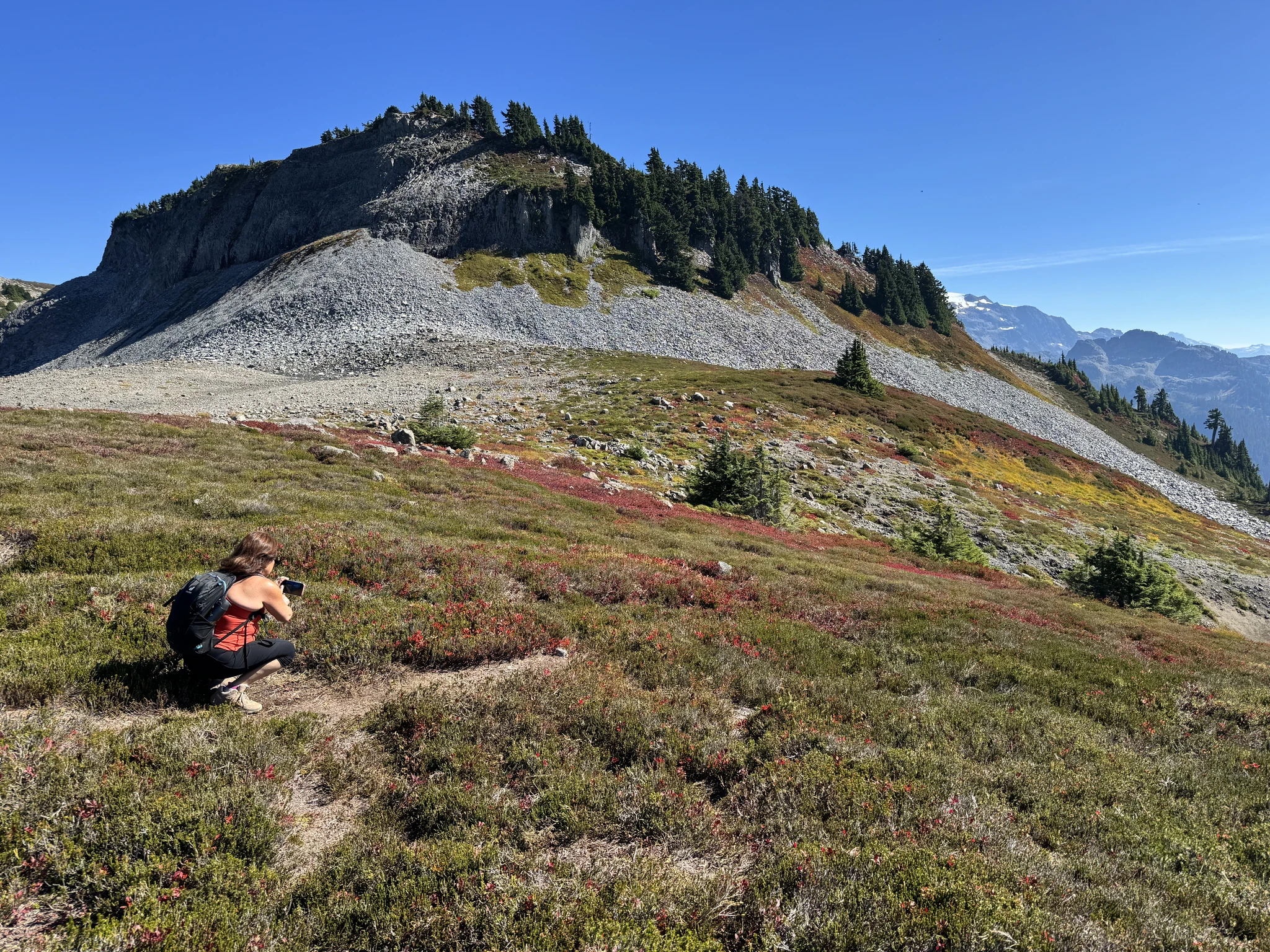
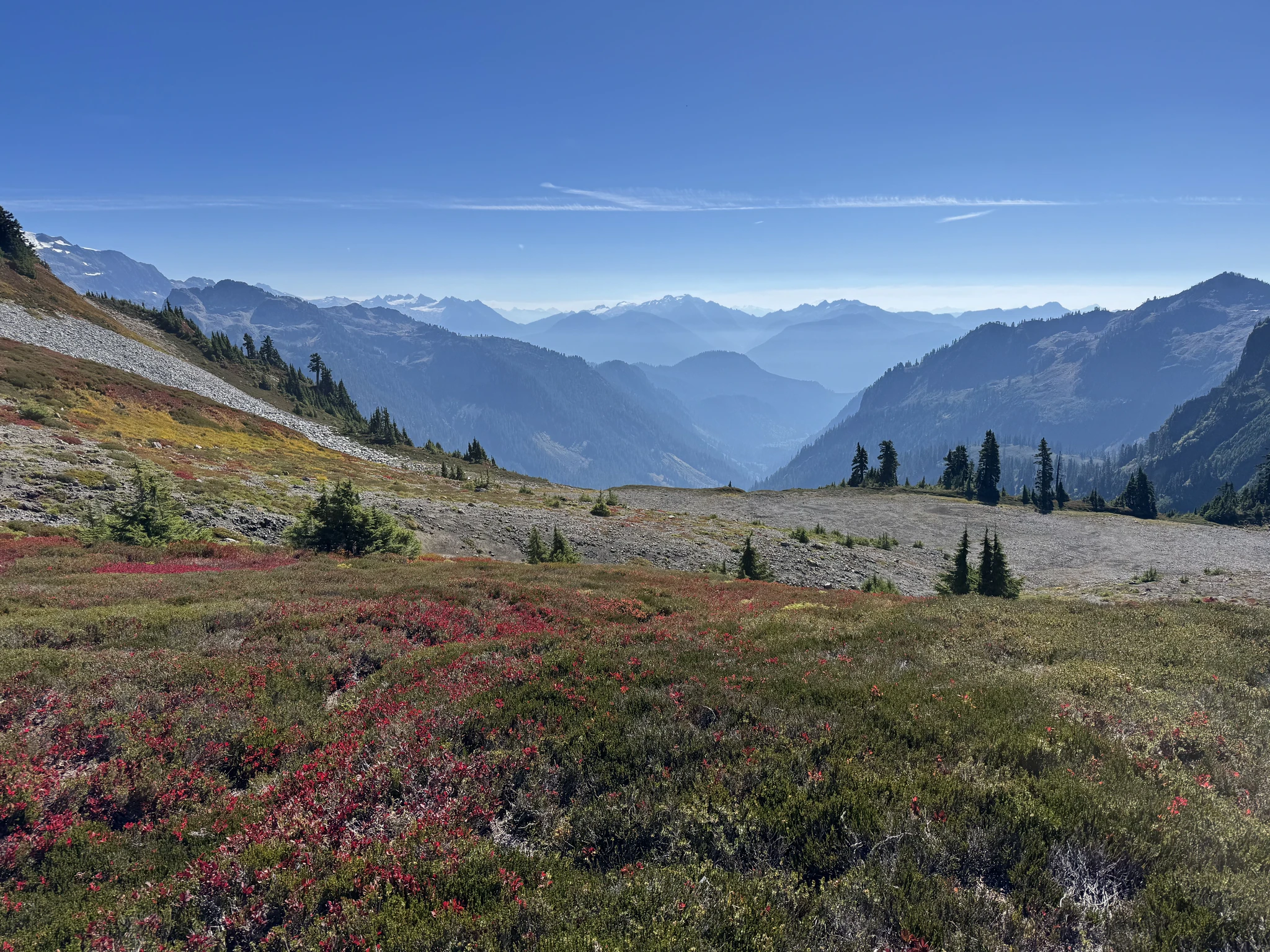
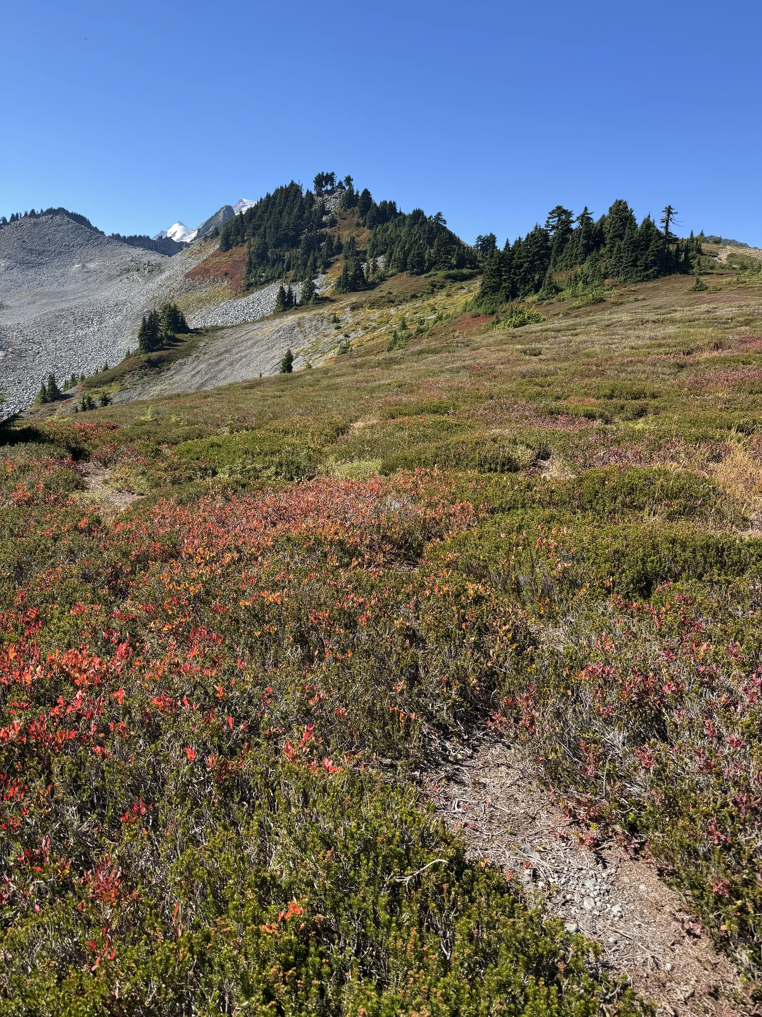
Ying finds a spot to sit among the brush.
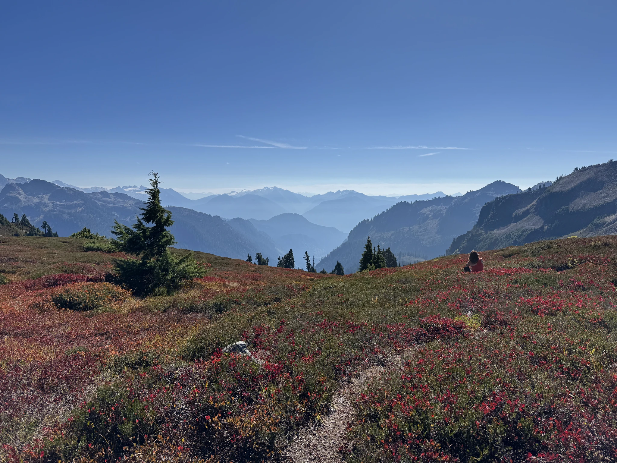
I took multiple pictures and in the end its difficult to figure out which is the best picture as the area is really gorgeous. Here is the same photo done in a horizontal landscape and then in a vertical portrait. I can’t decide which I like best.
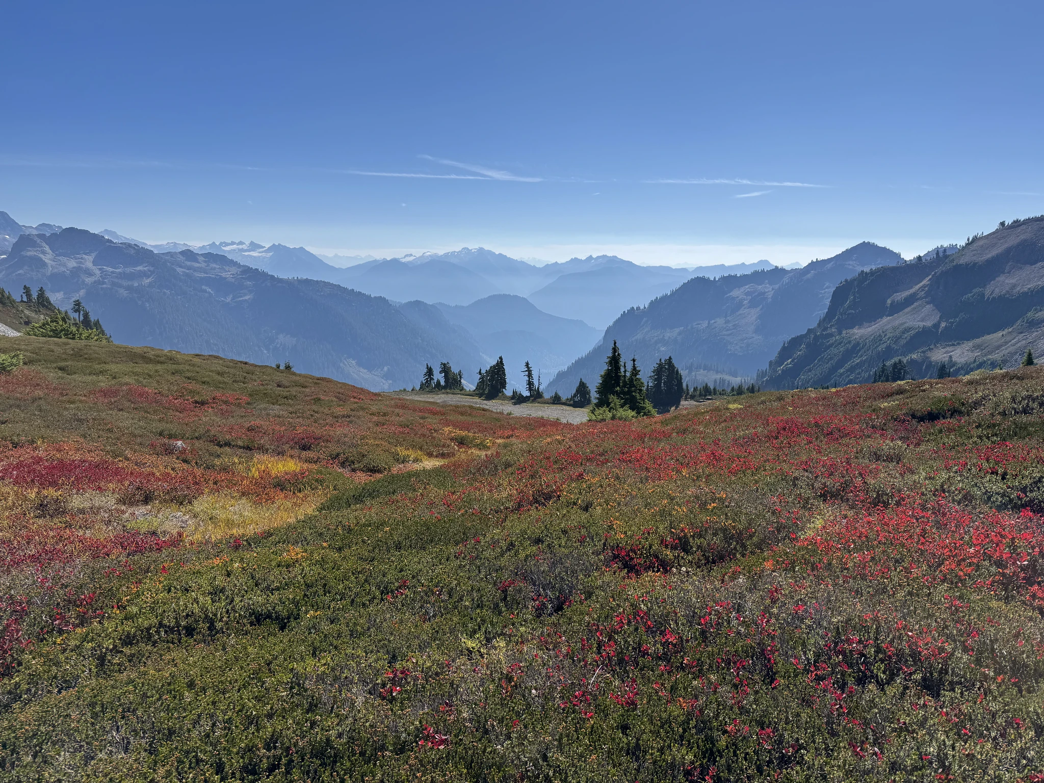
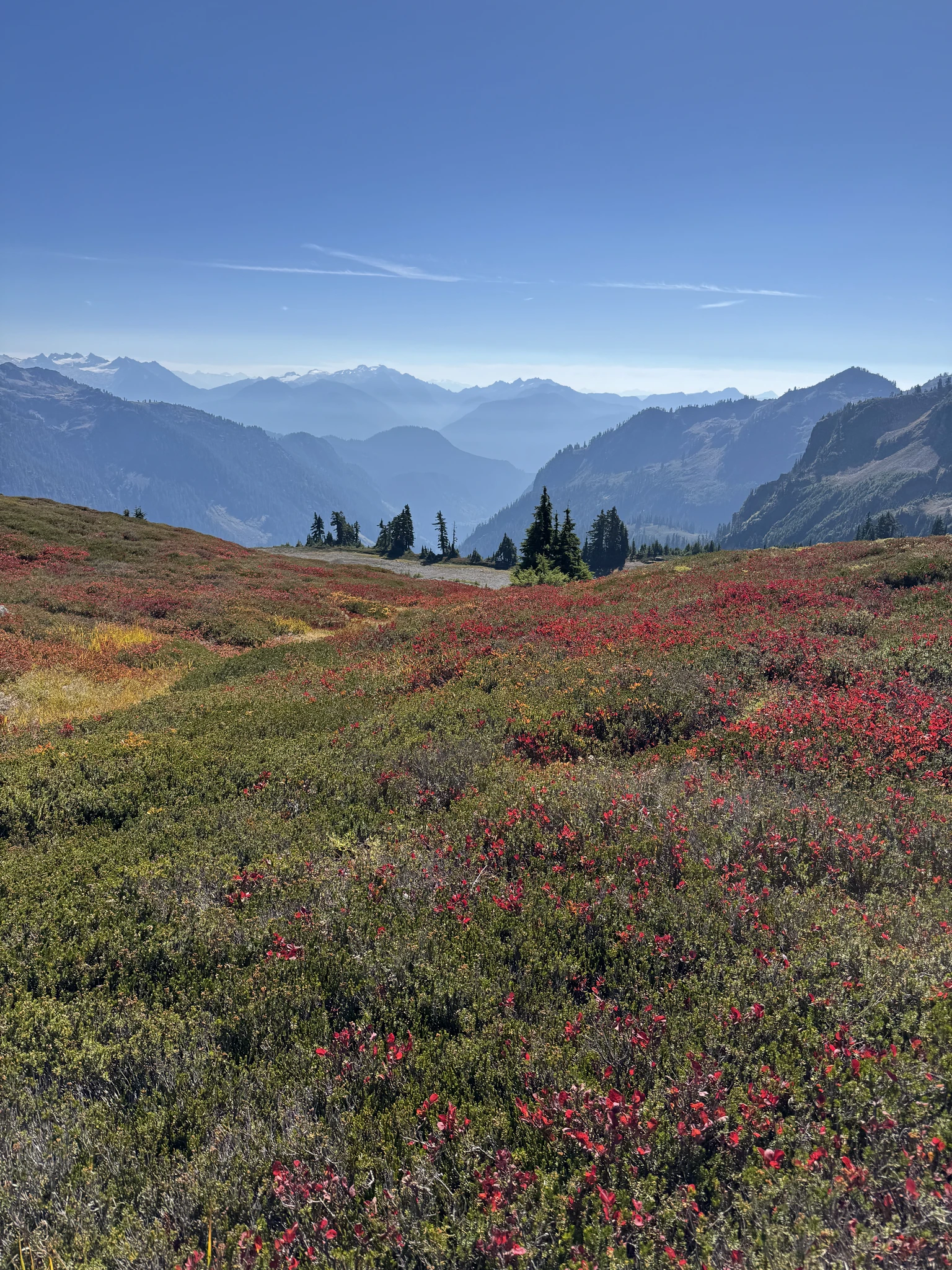
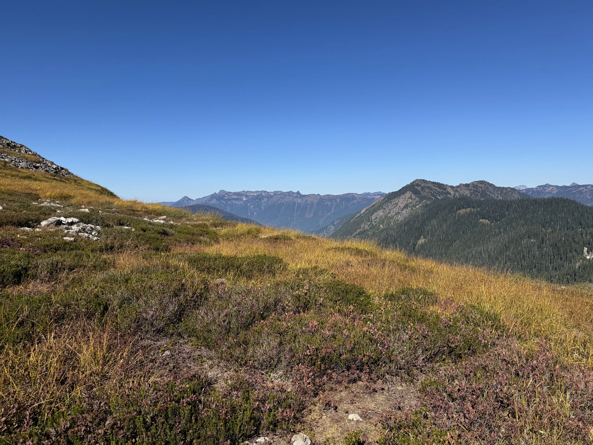
We start to move on but there are still some nice pictures to take.
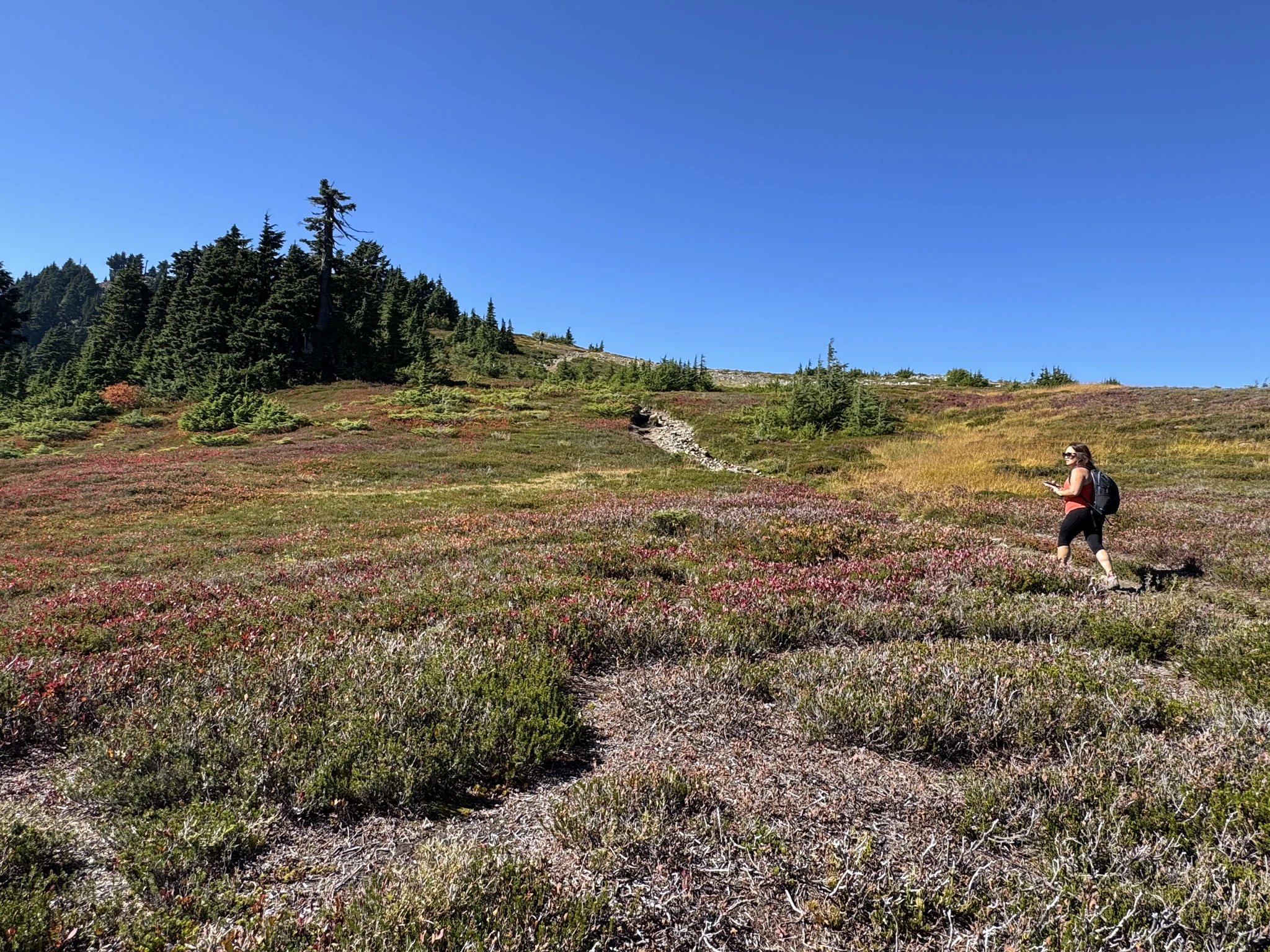
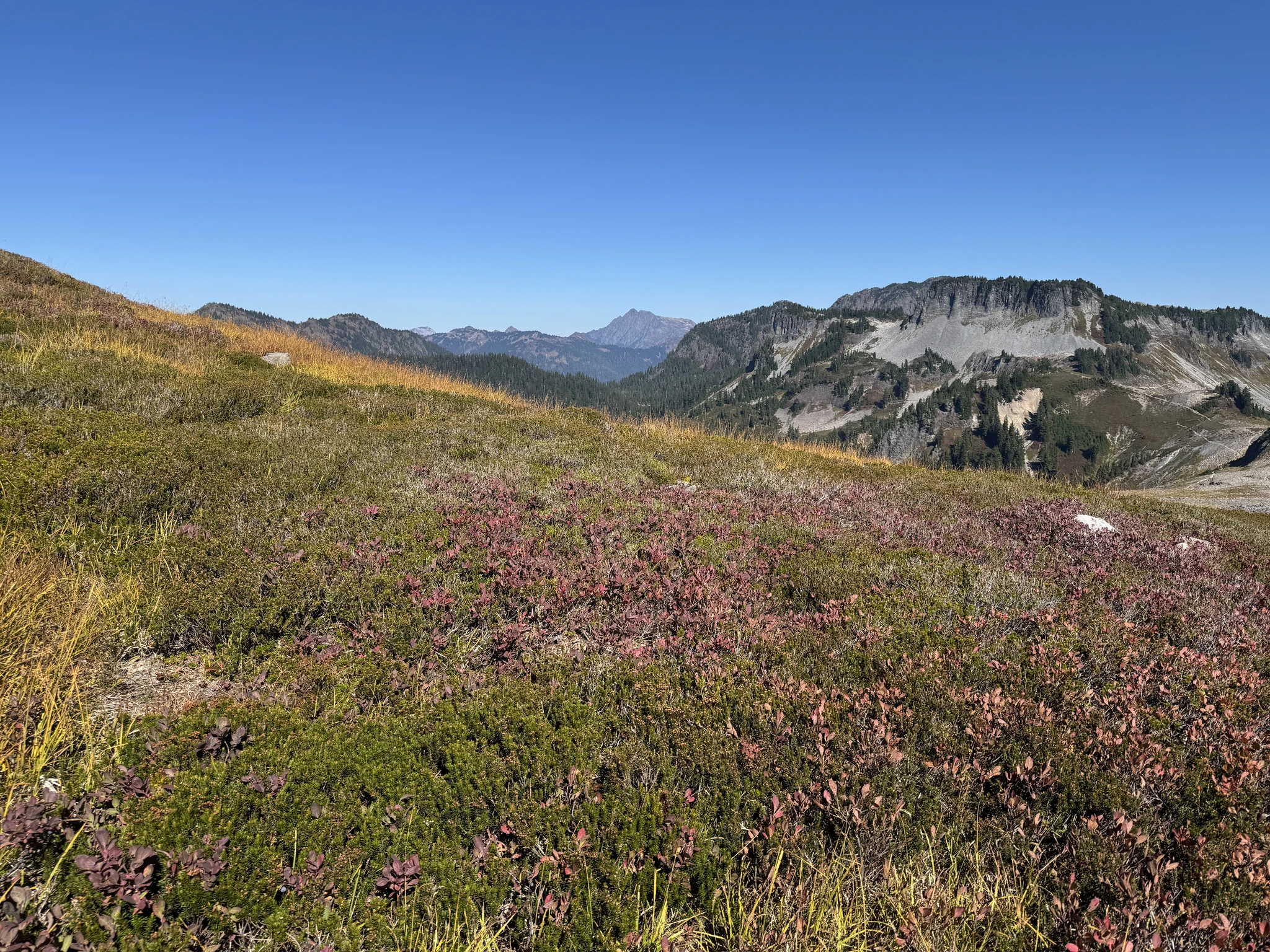
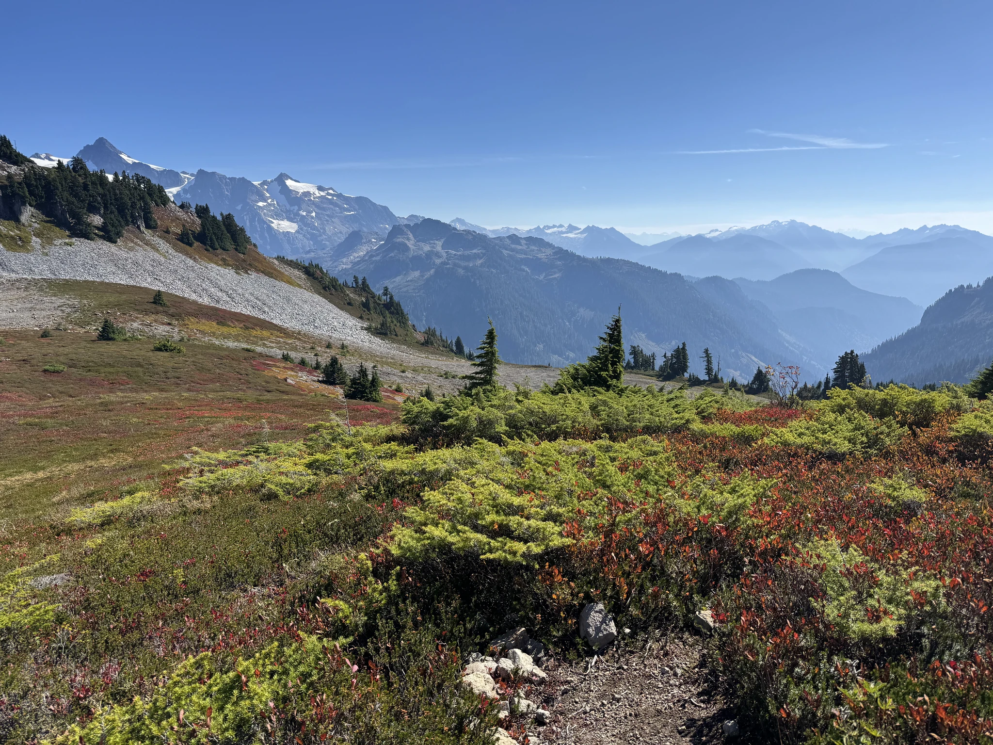
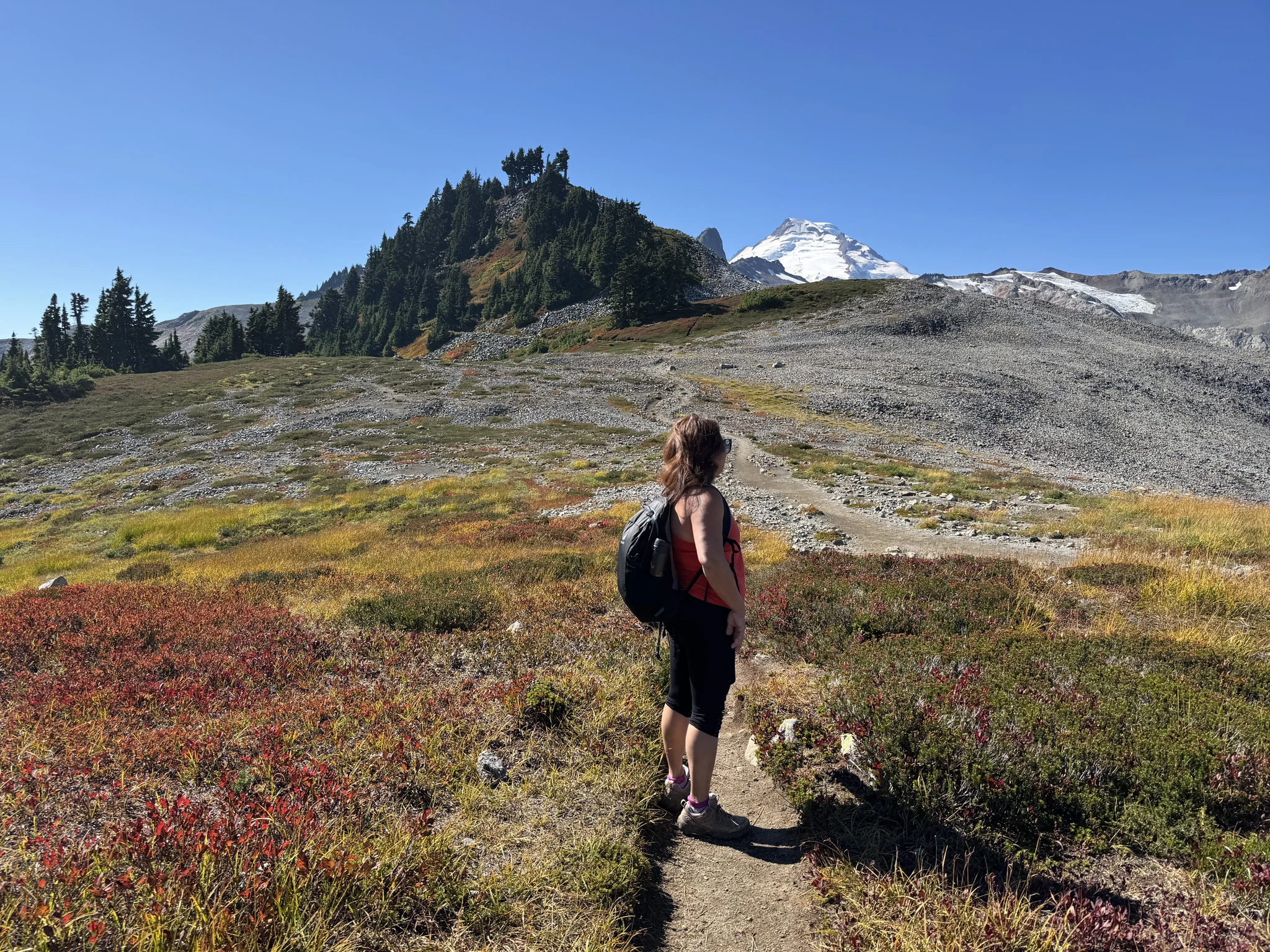
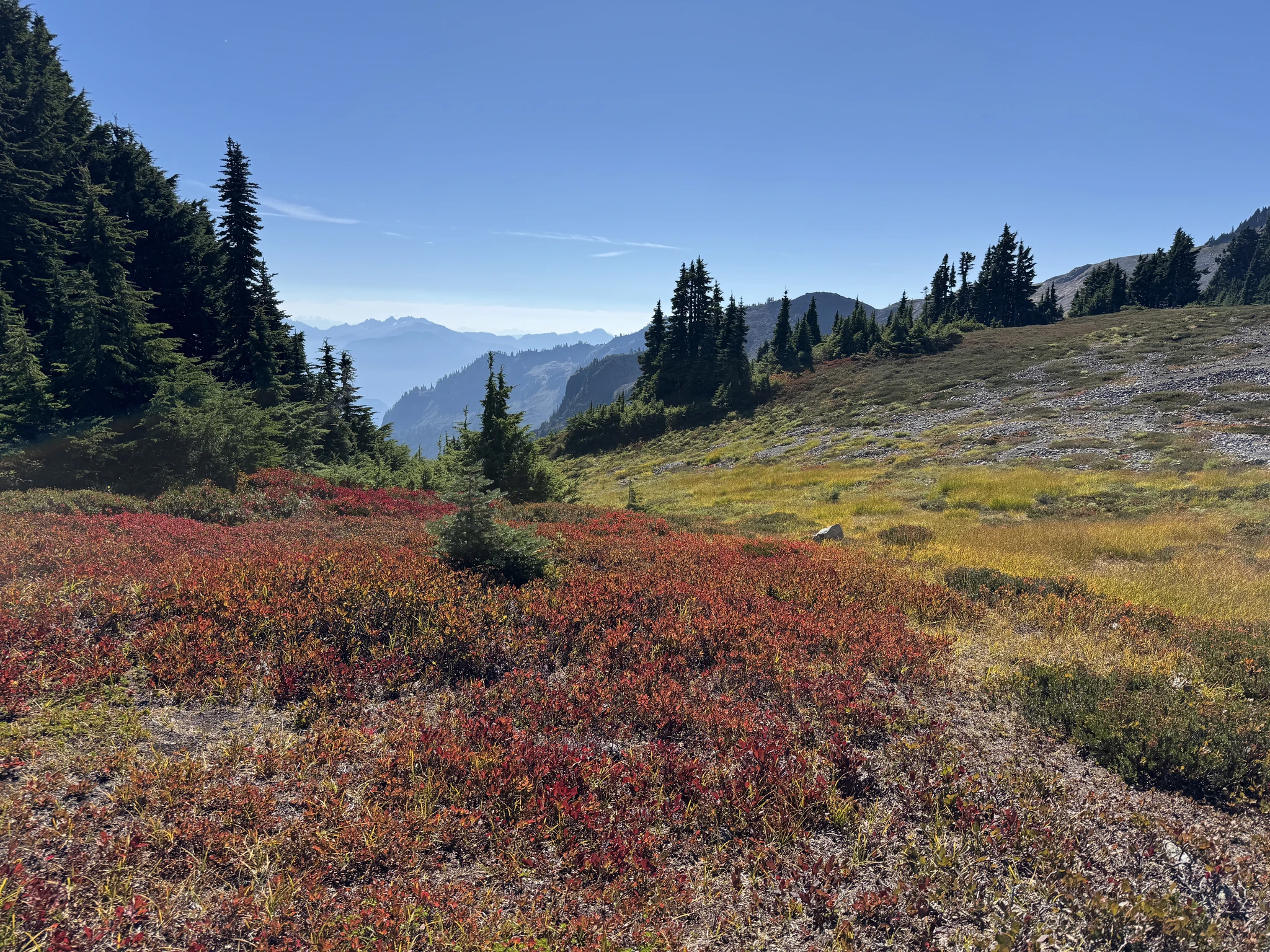
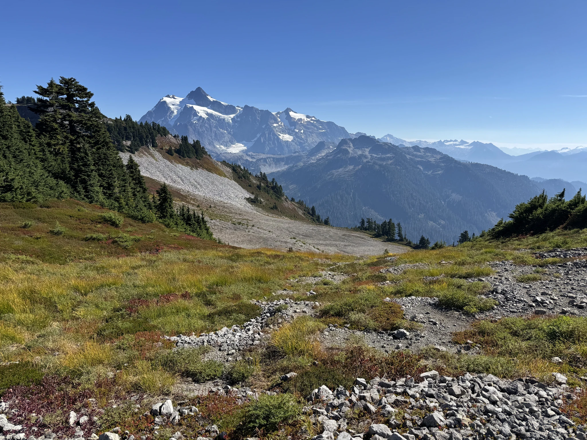
Ok, on our way.
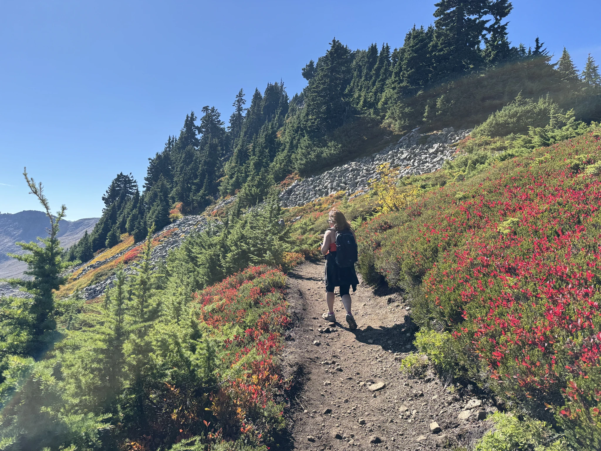
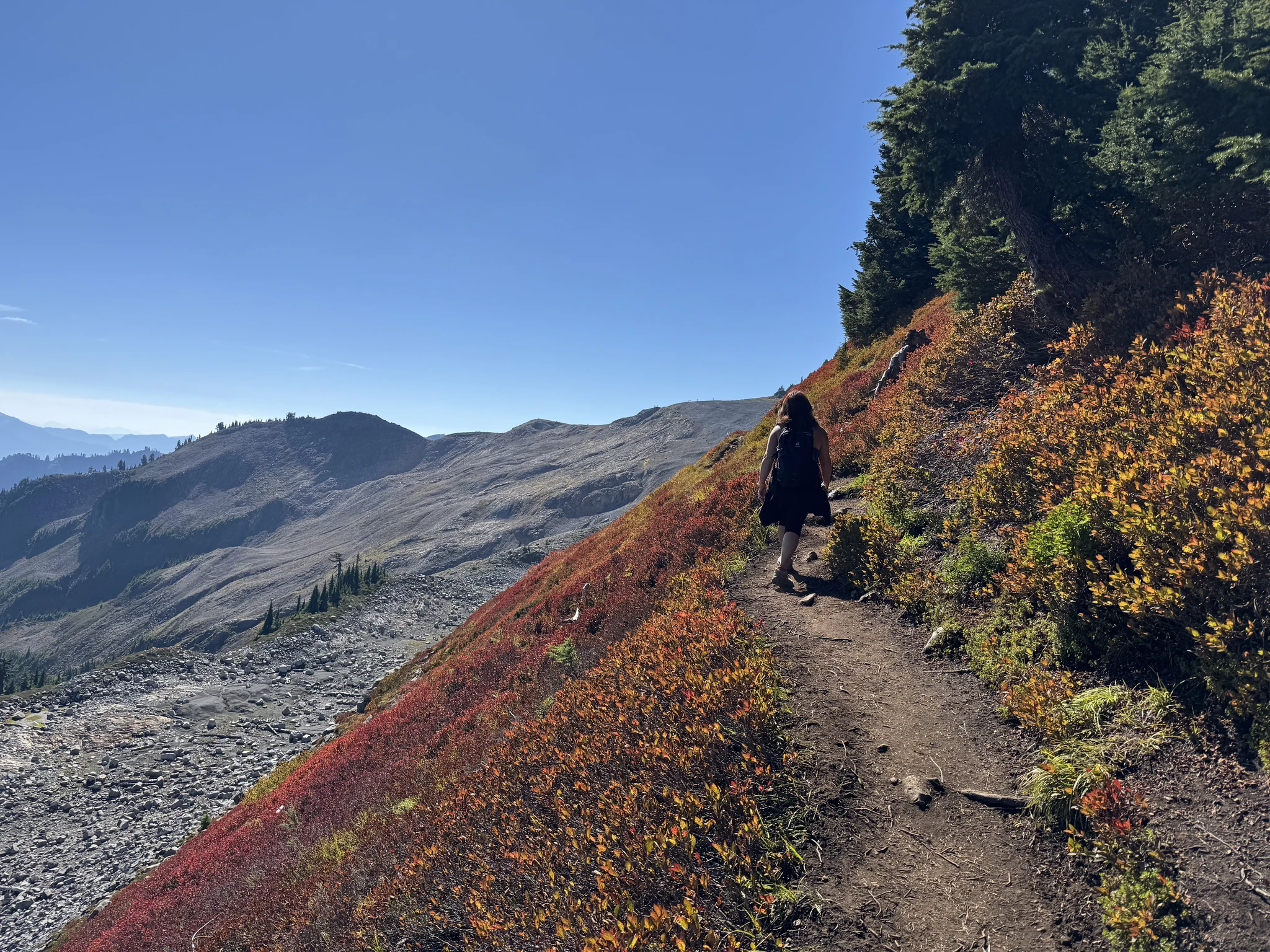
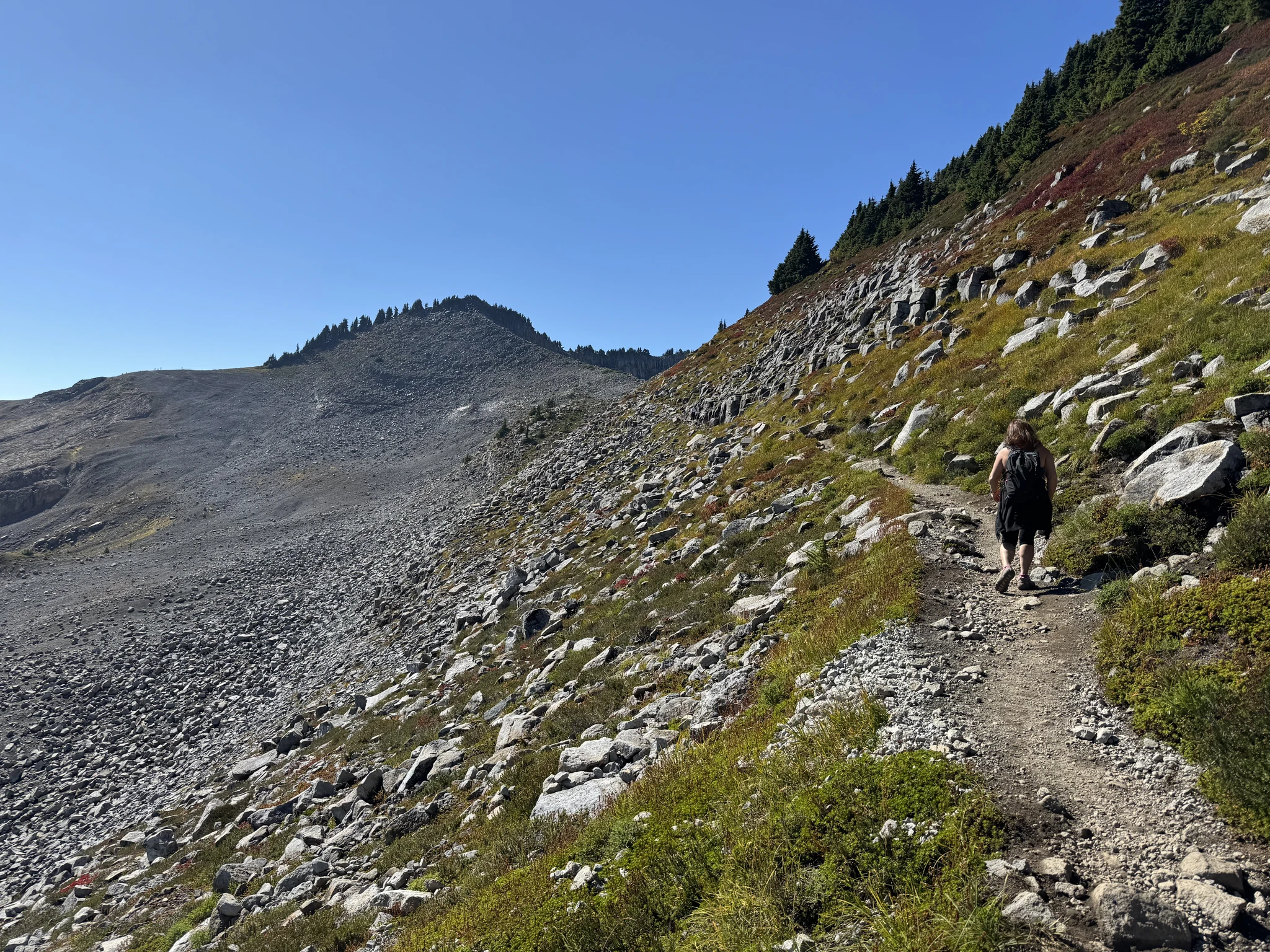
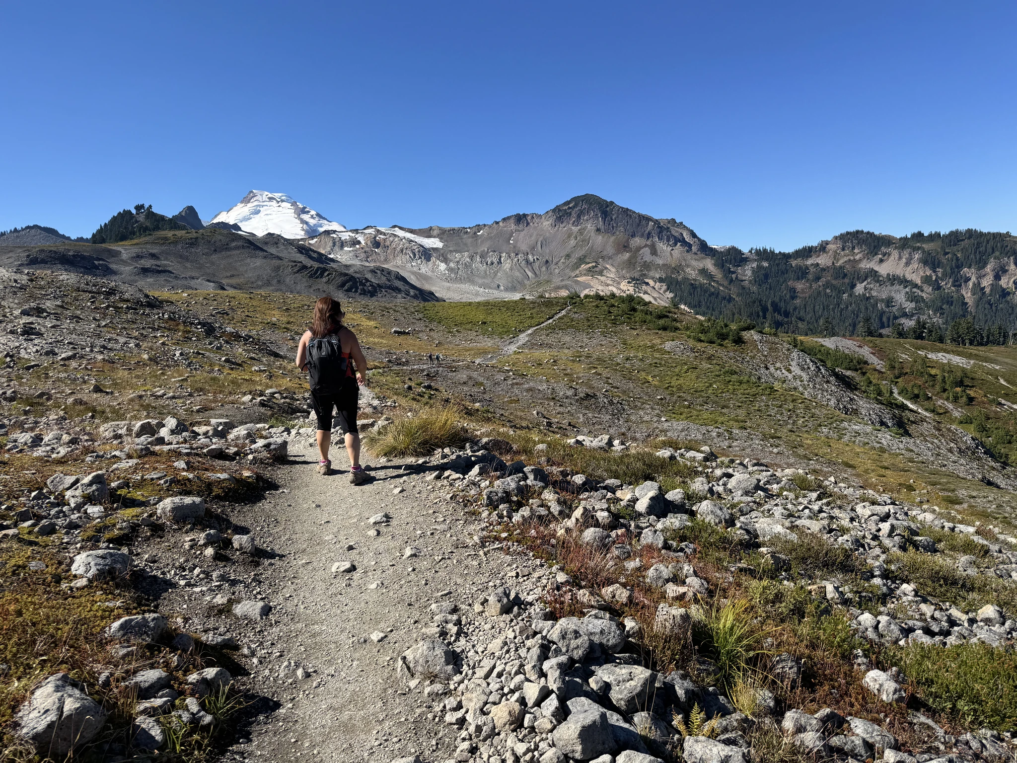
Again, we can see our path in the distance ahead.
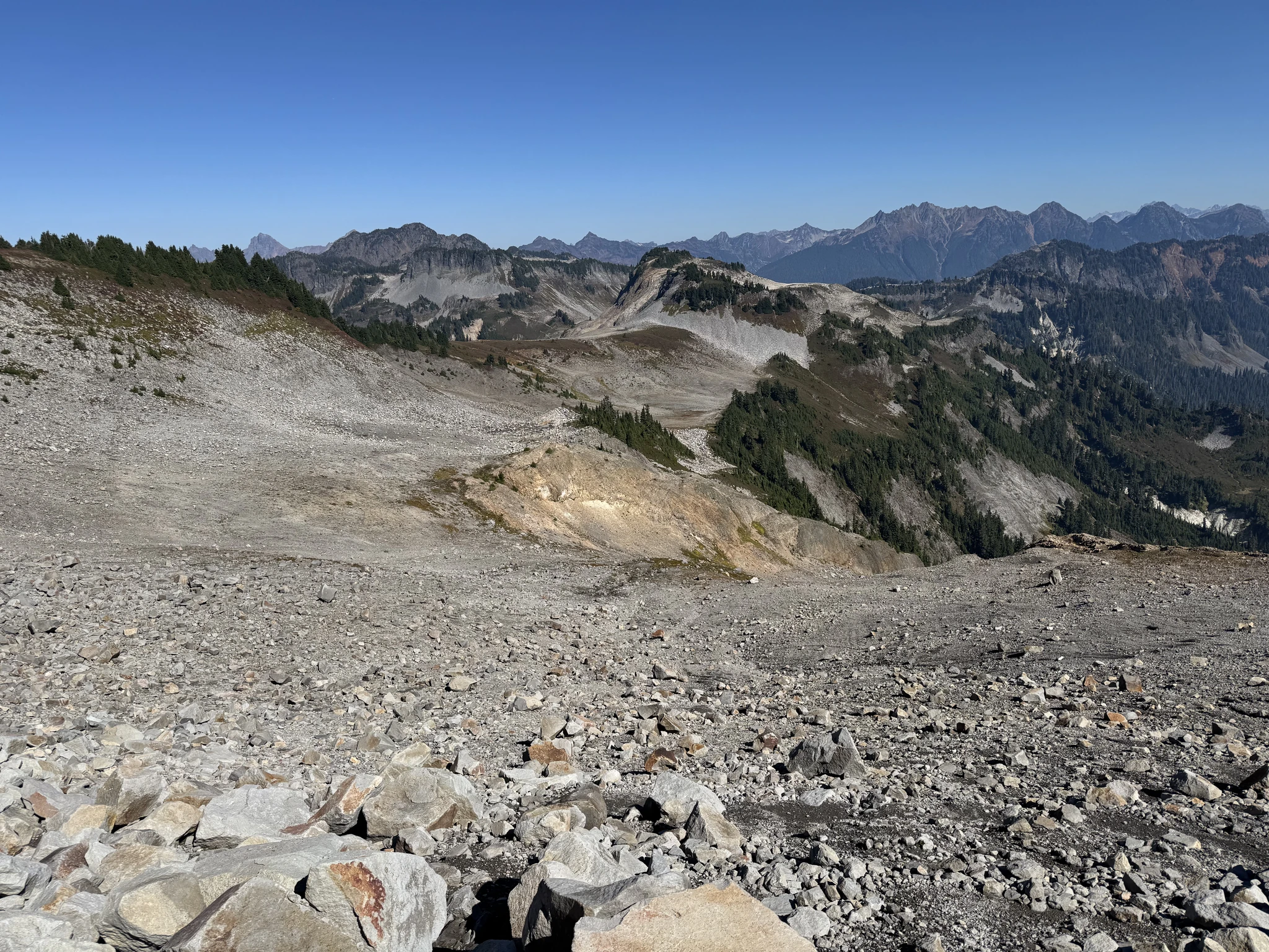
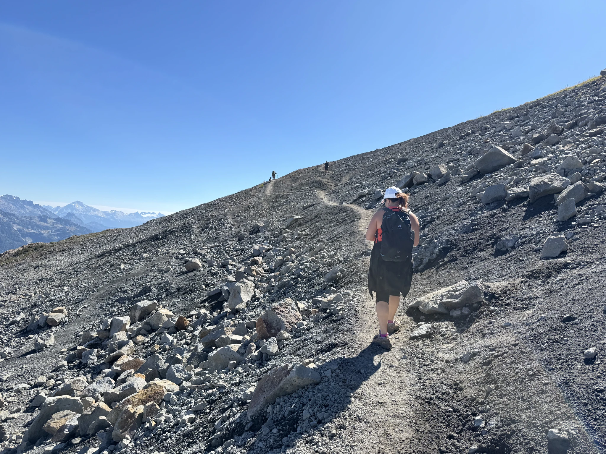
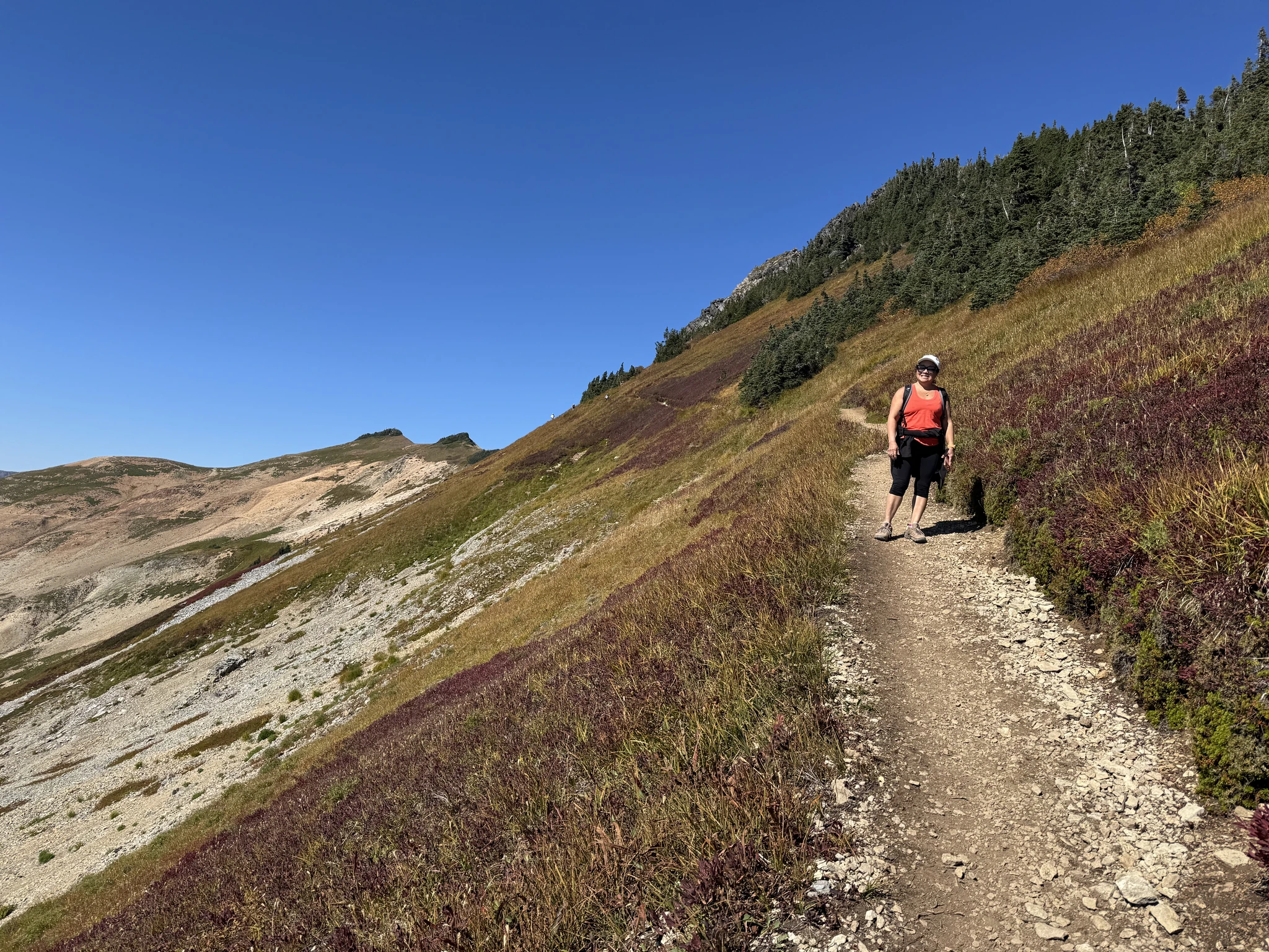
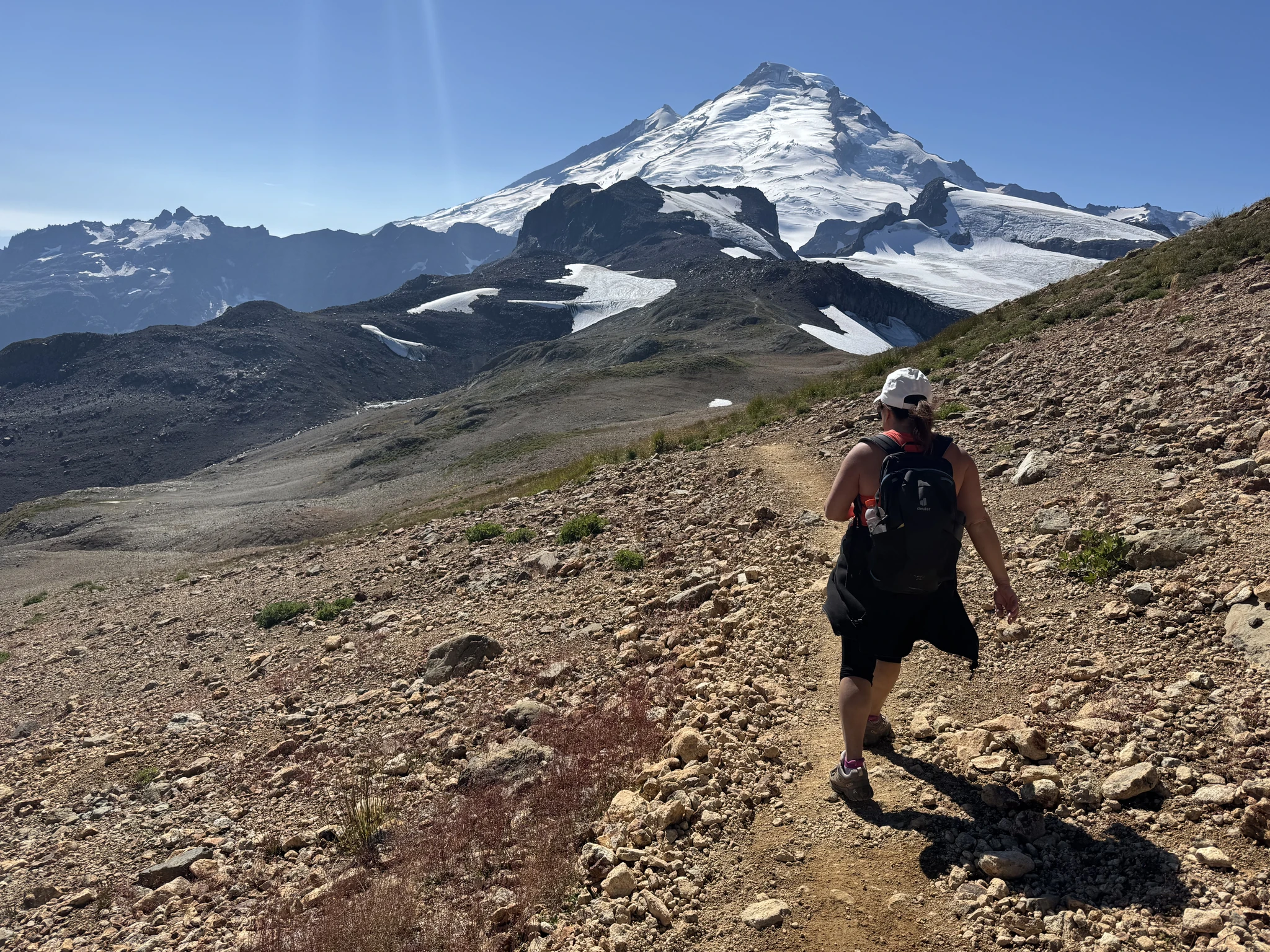
Ying on the trail. There are a couple hikers ahead farther up the hill.
Here are some pictures of our surroundings.
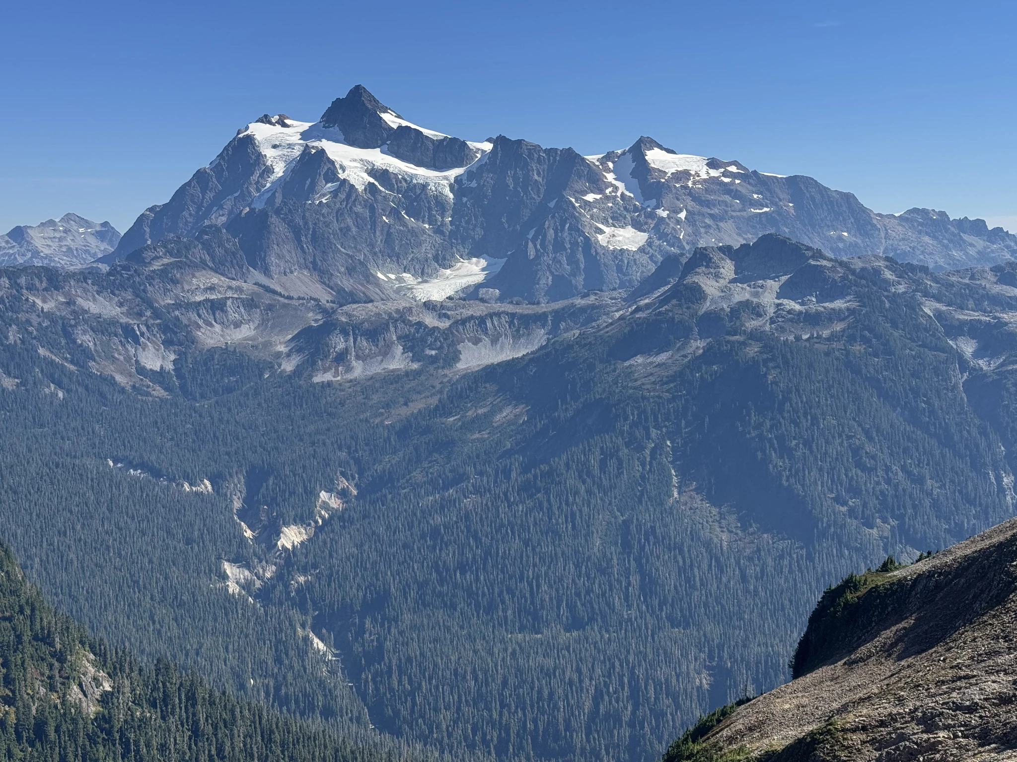
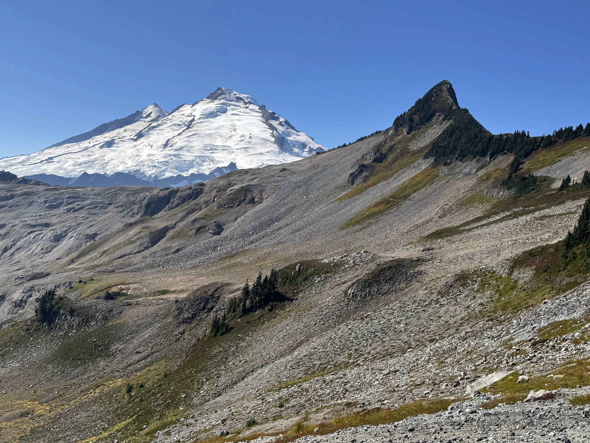
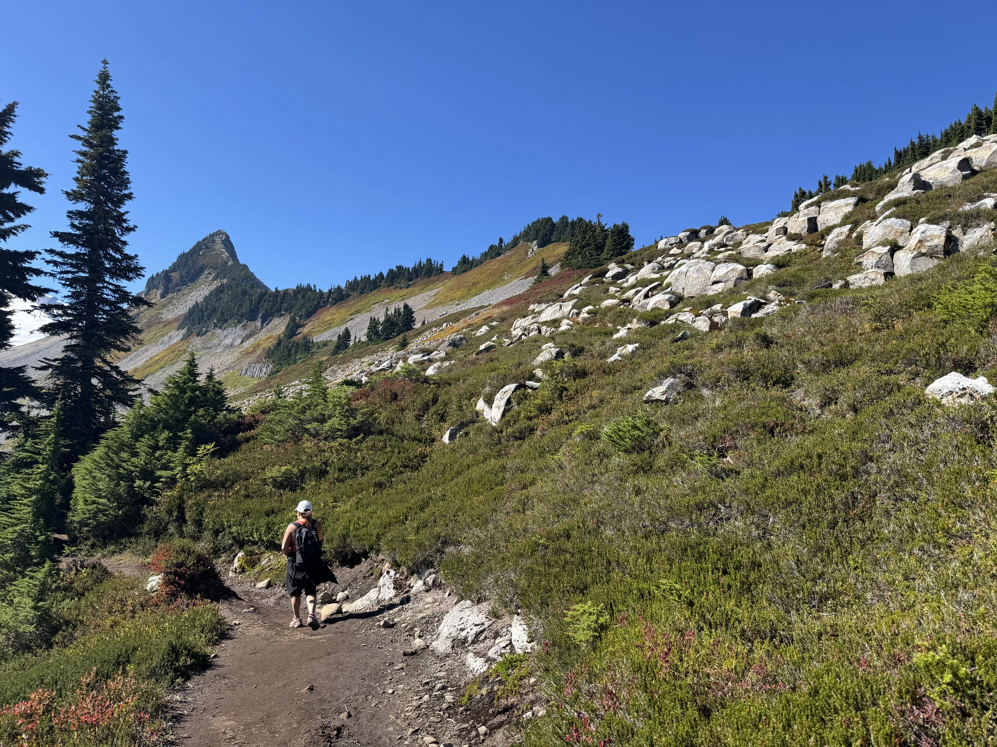
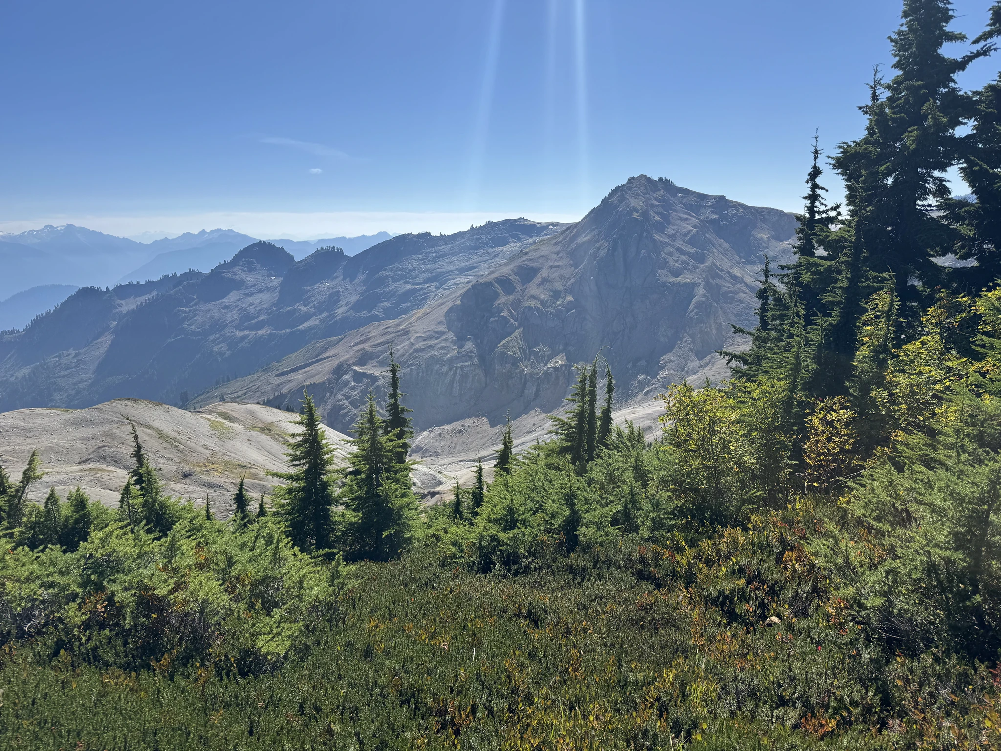
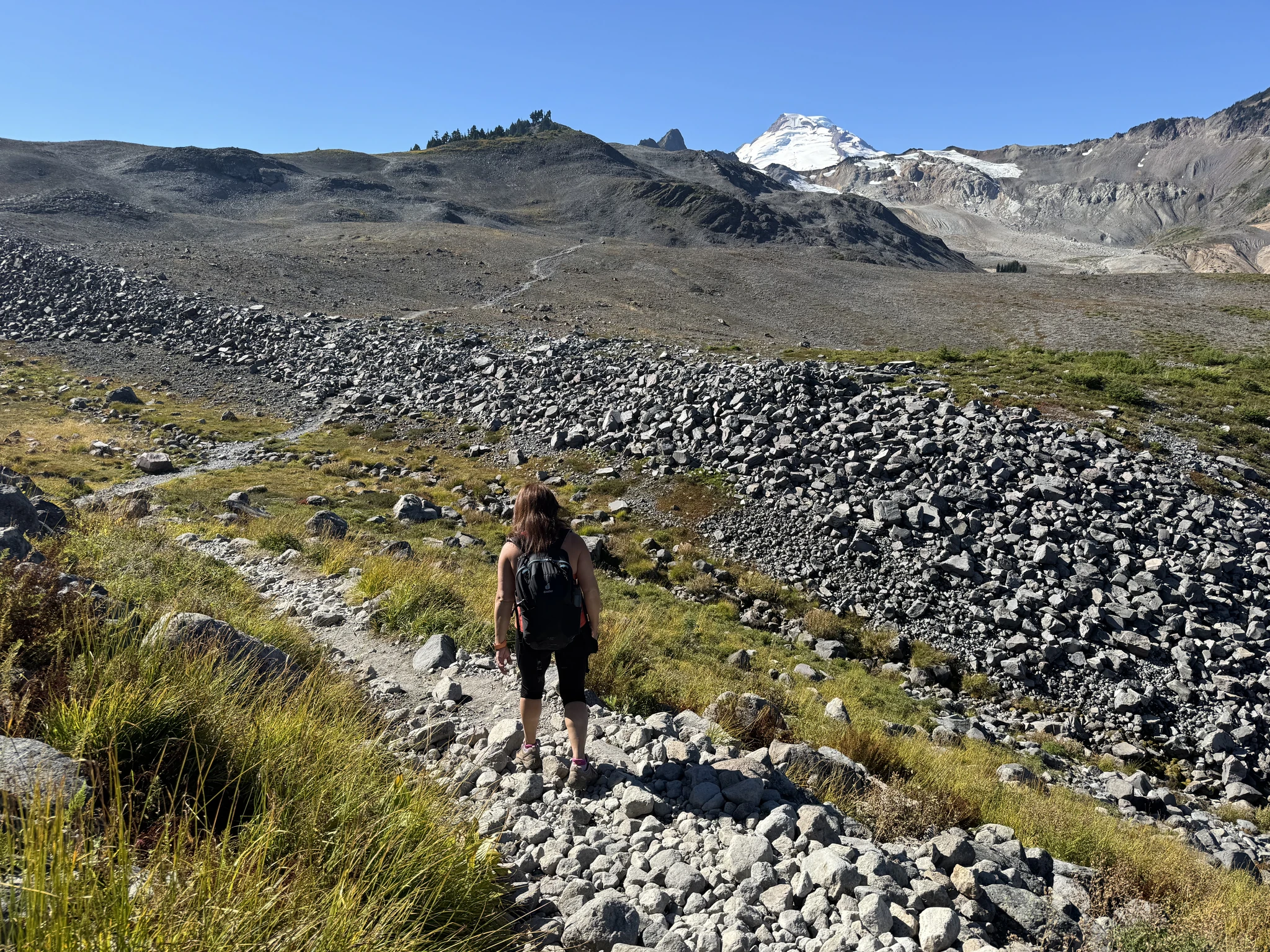
More trail ahead.
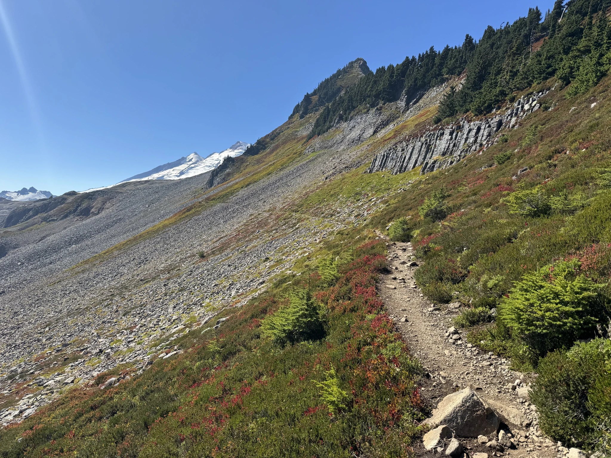
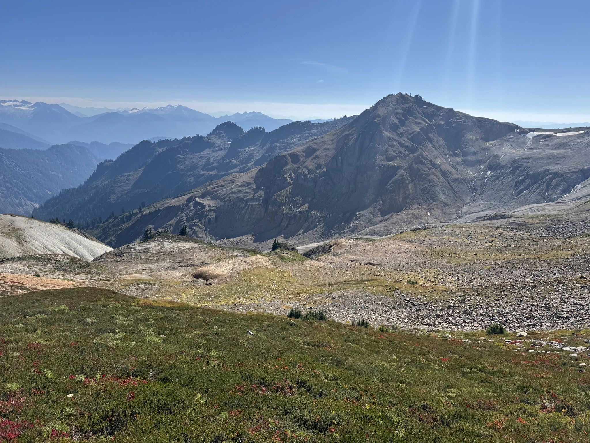
Another interesting rock formation on the side of the hill.
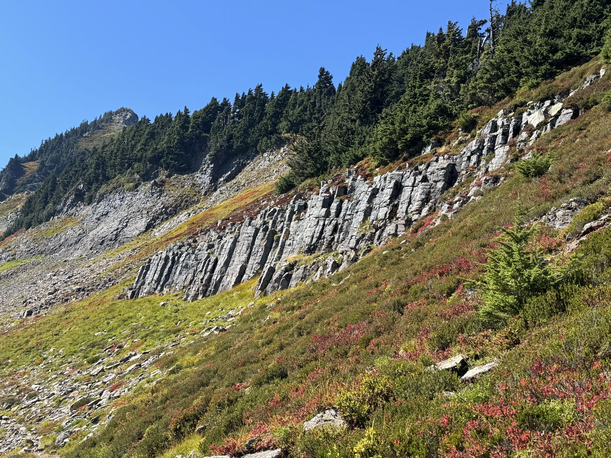
I use the Pano feature on my iPhone to capture the rock formation.
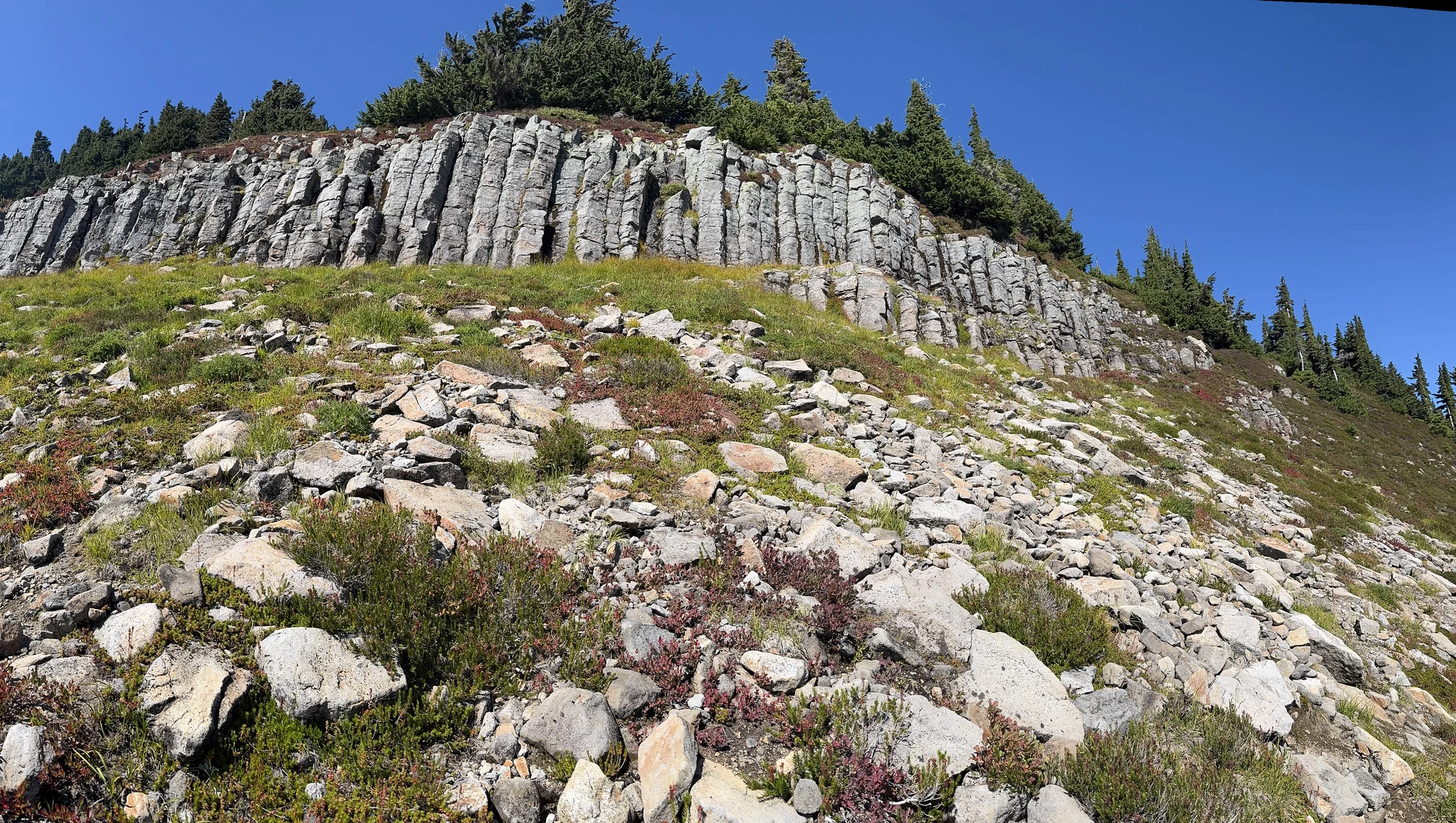
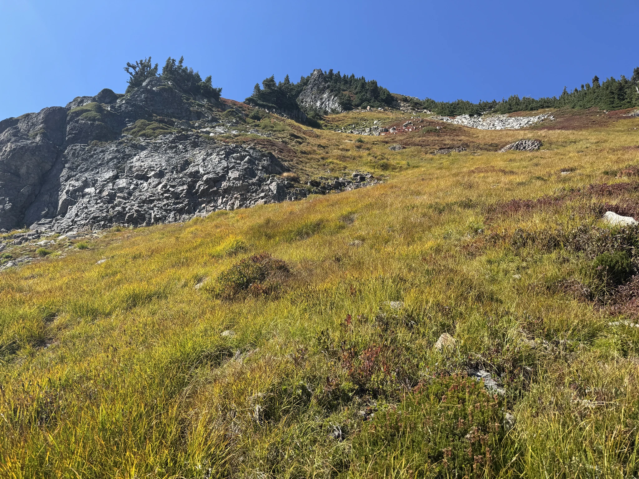
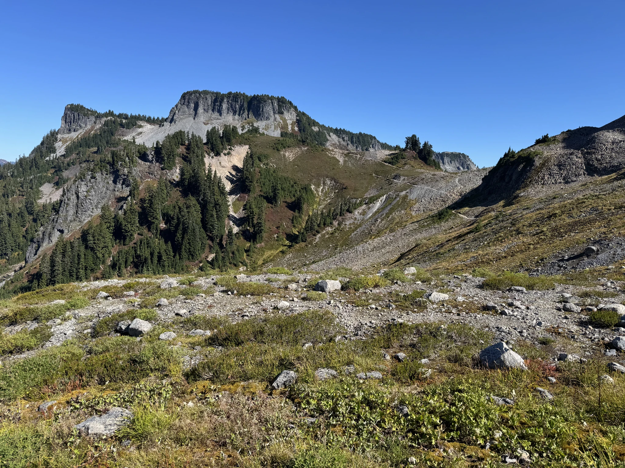
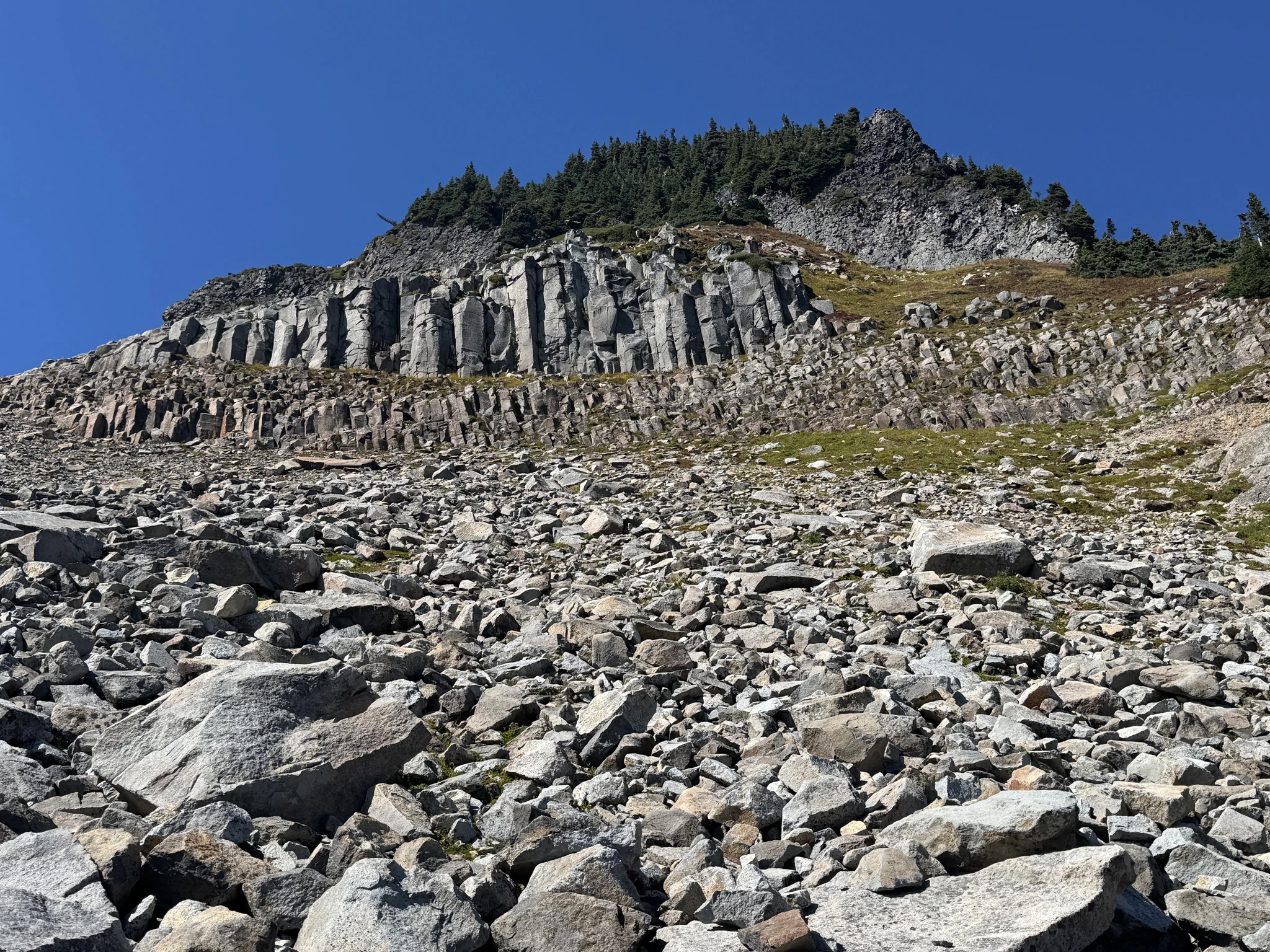
Another rock formation above us.
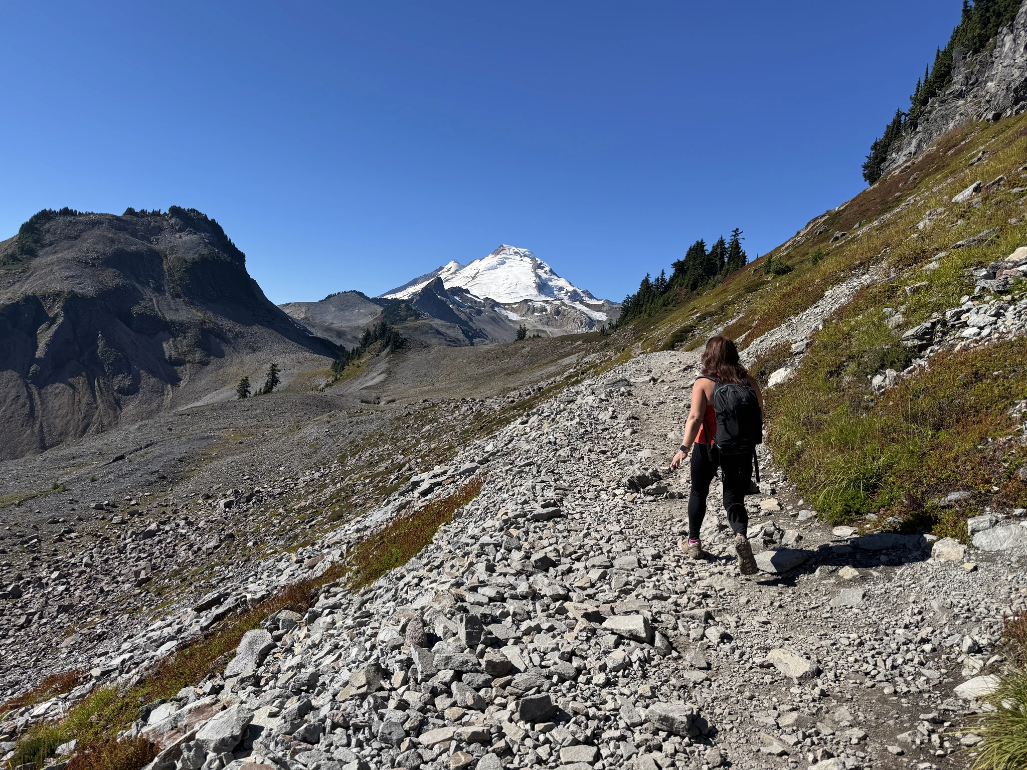
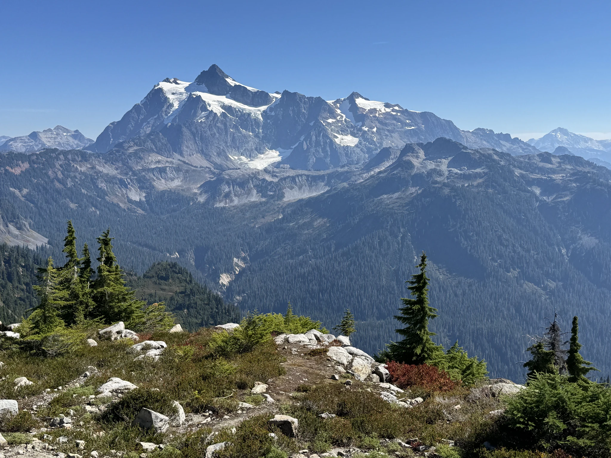
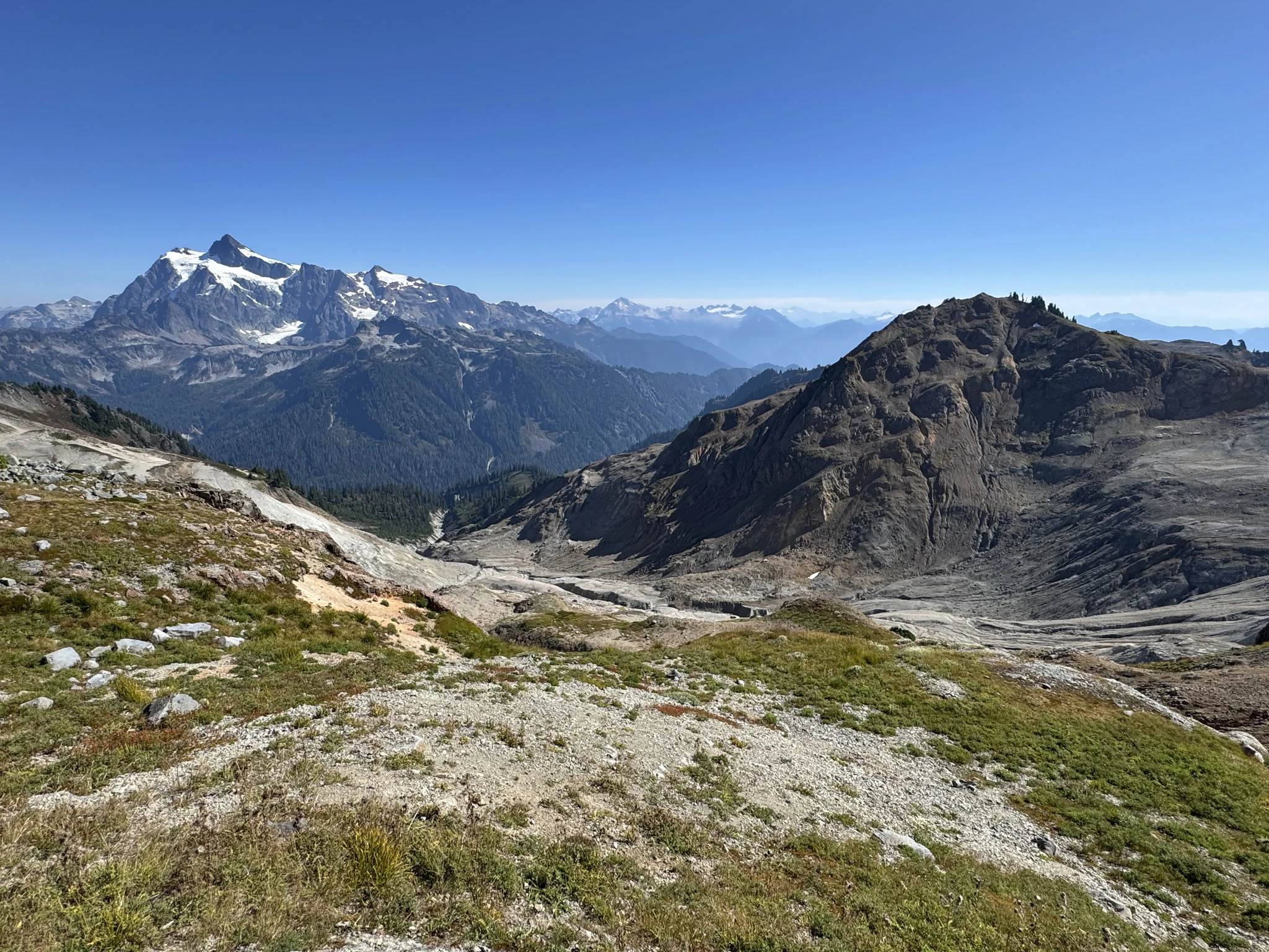
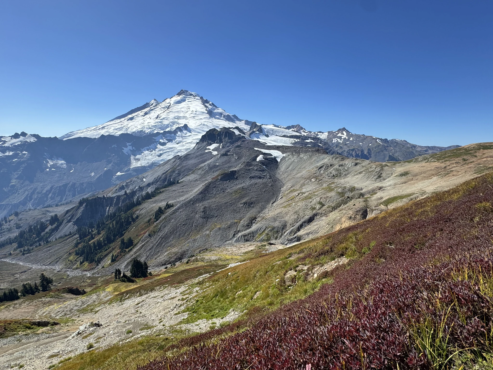
We are now in an area with some great views, including a clear view of Mount Baker.
We still have a long way to go.
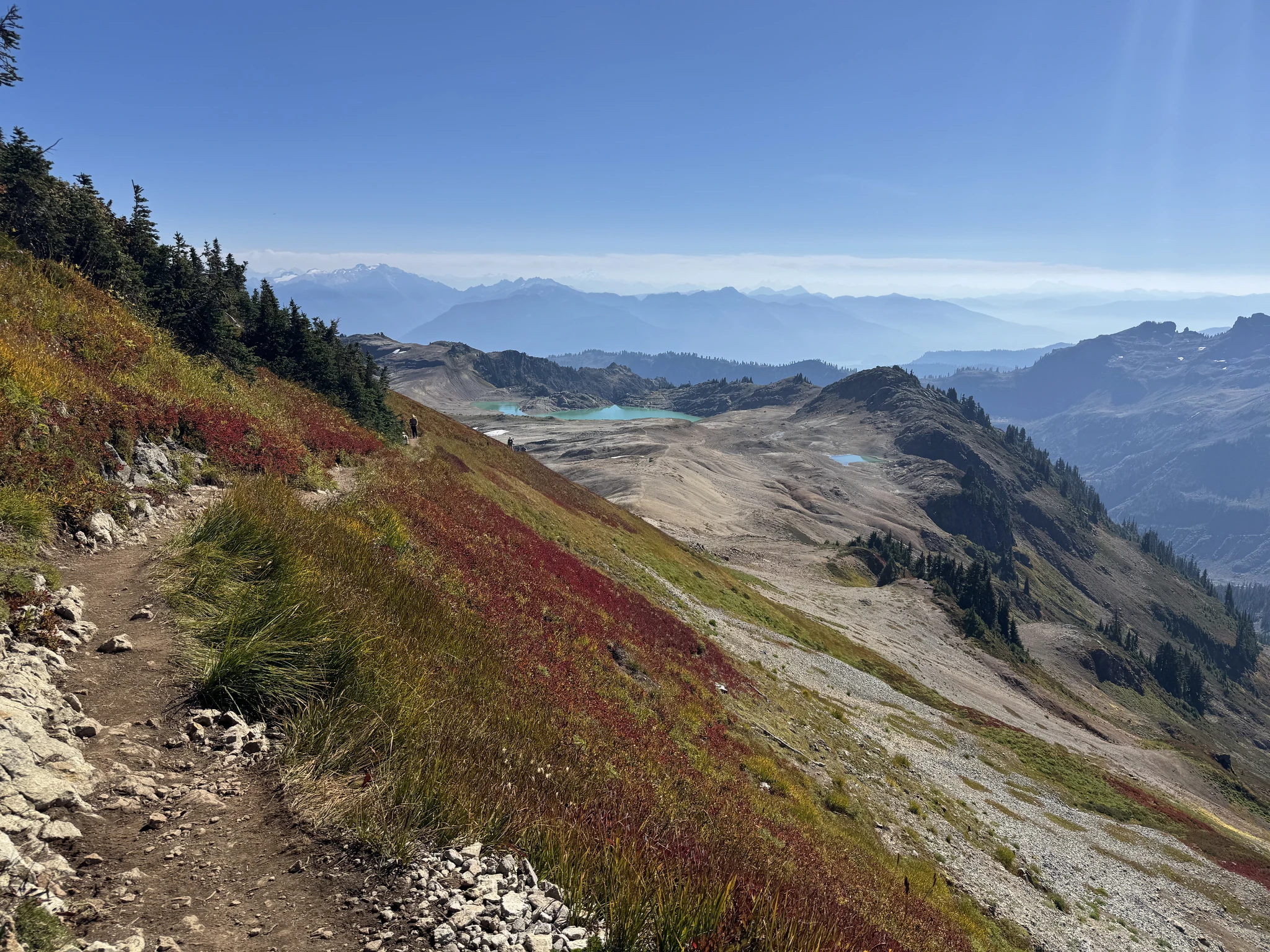
Its possible to hike to these lakes and we would have liked to on our way back. However we likely won’t have time. We blame it on the truck tire going flat; though to be honest, I’m not sure I would have been up to the additional miles.
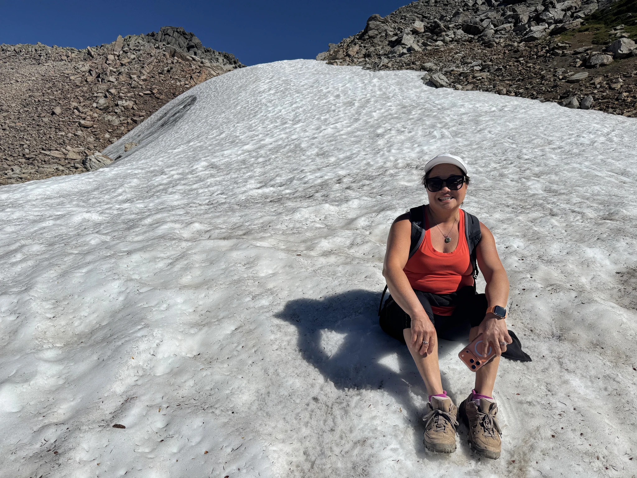
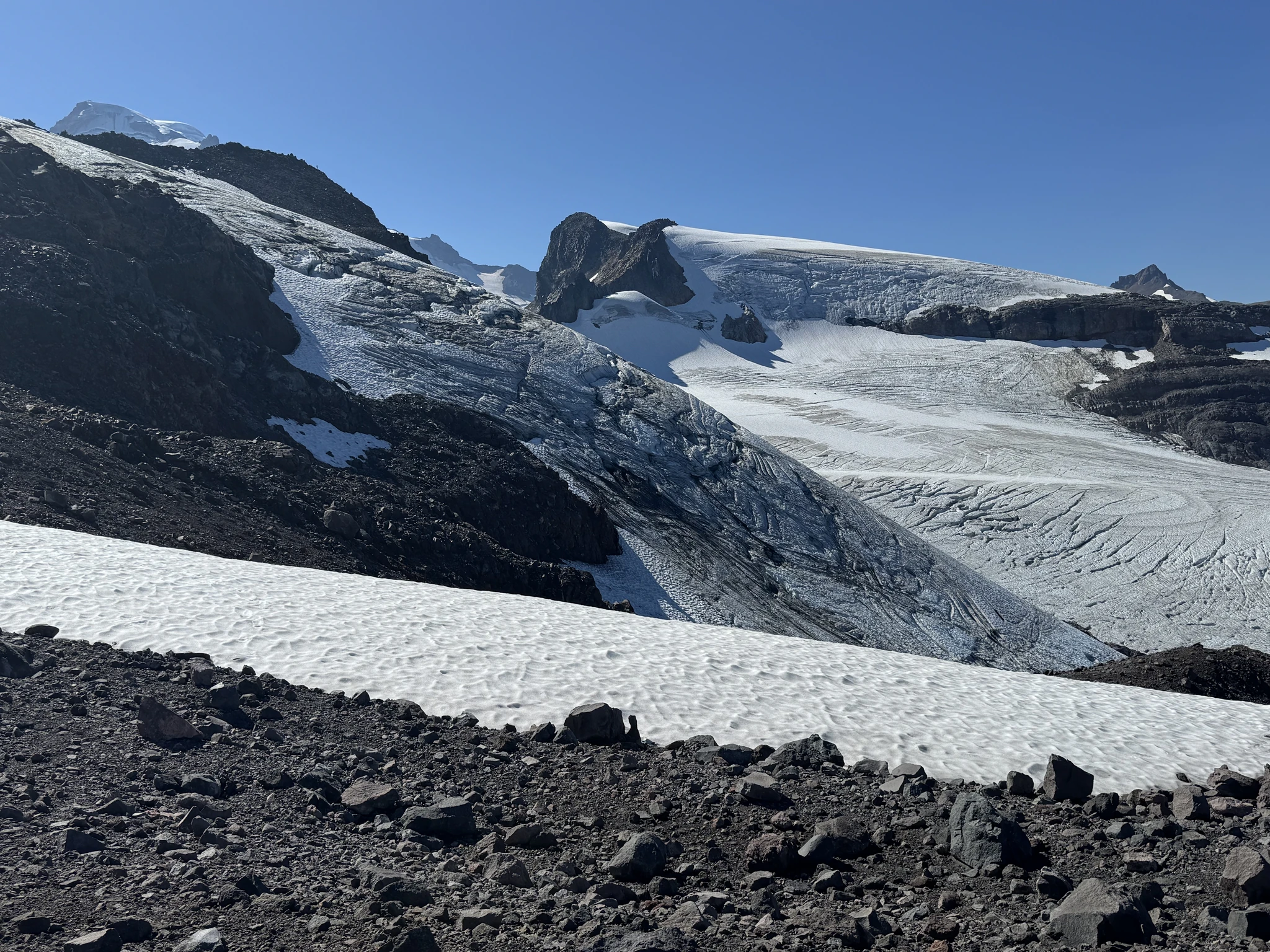
We are at snow level up here.
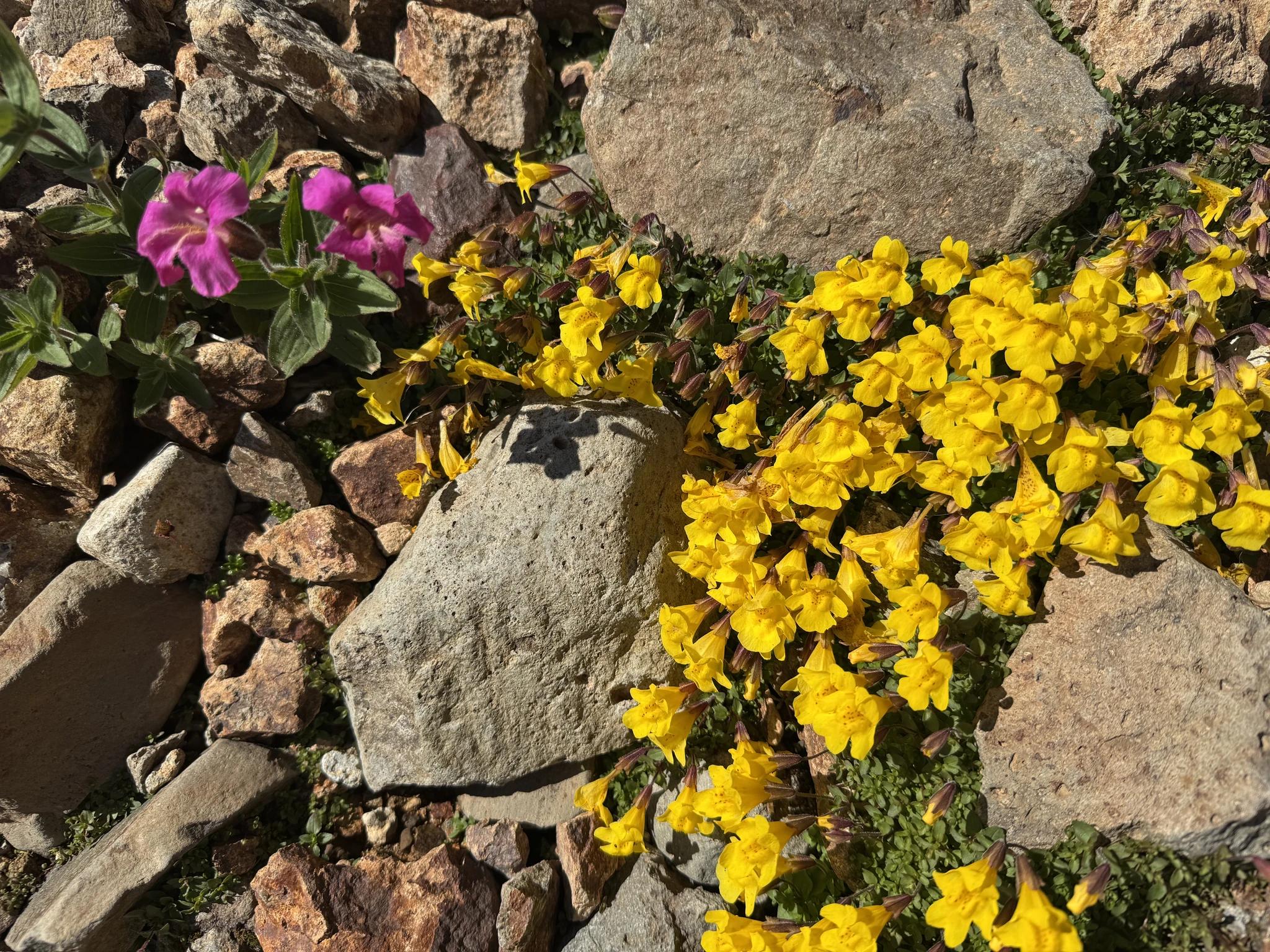
We are seeing more of these flowers up here.
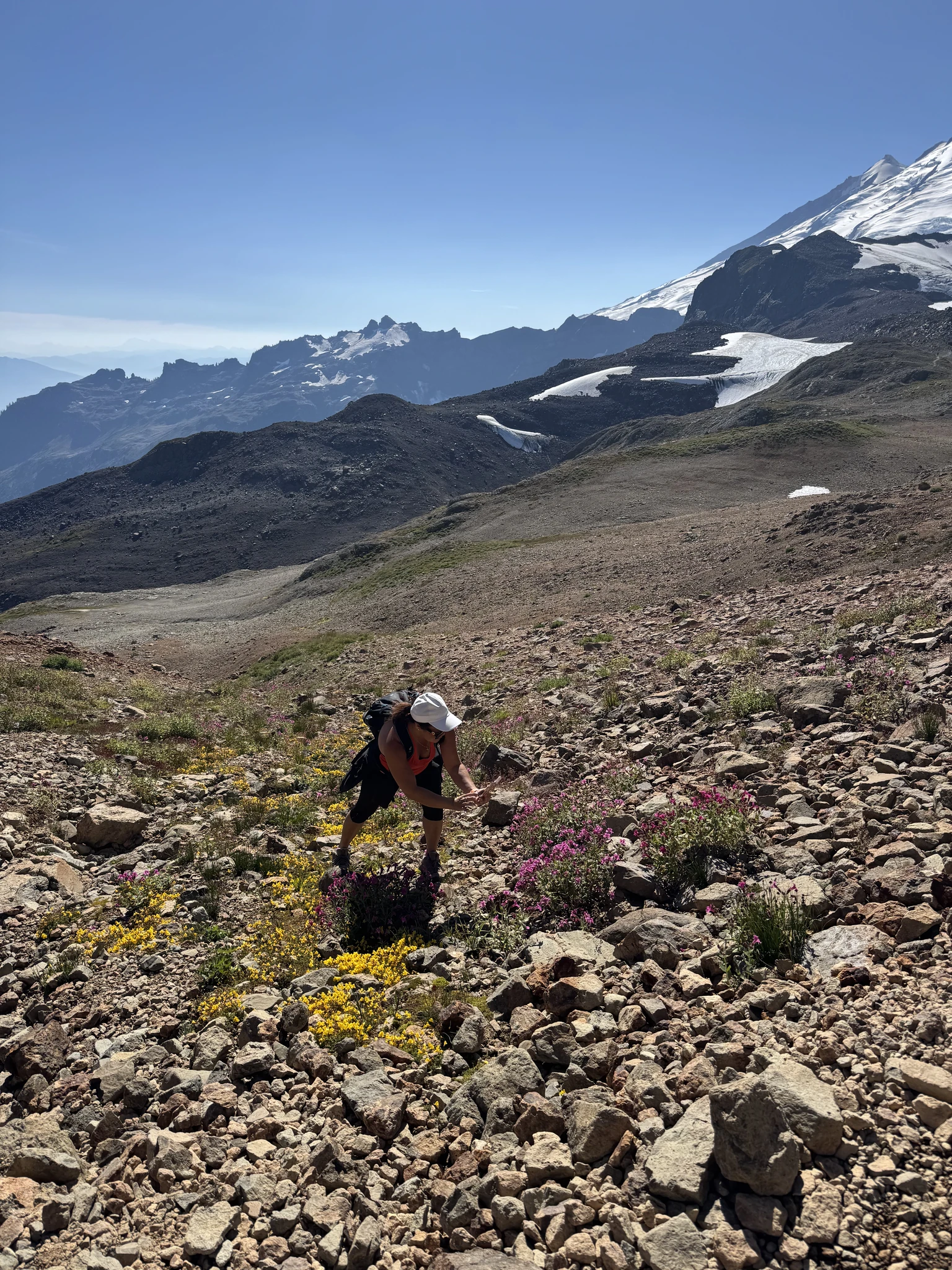
Glacier ice here.
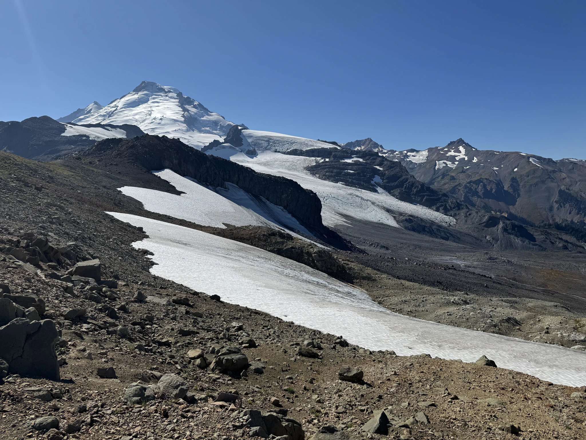
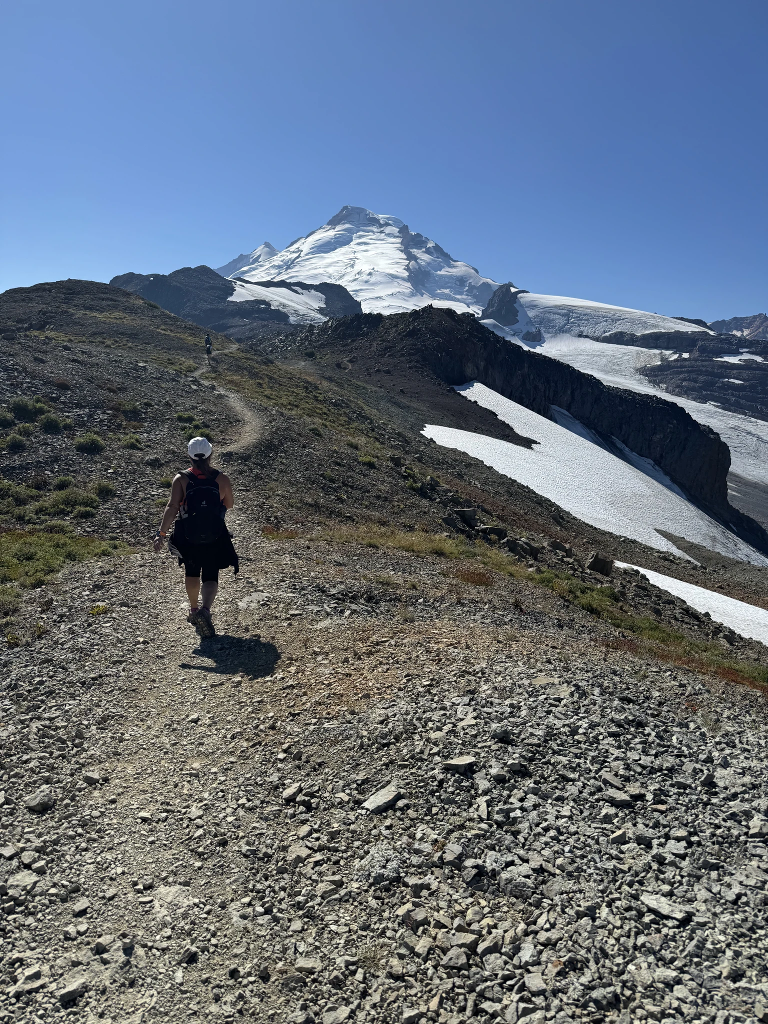
I get a shot of Ying from a distance using zoom on the camera to get the mountain in the background.
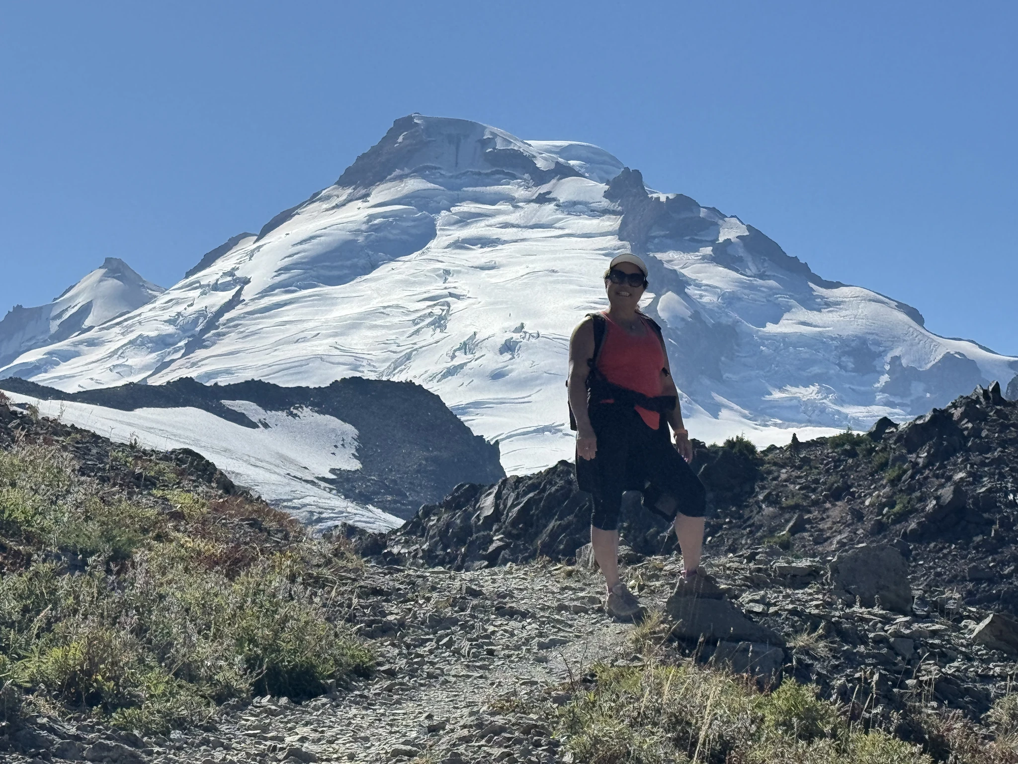
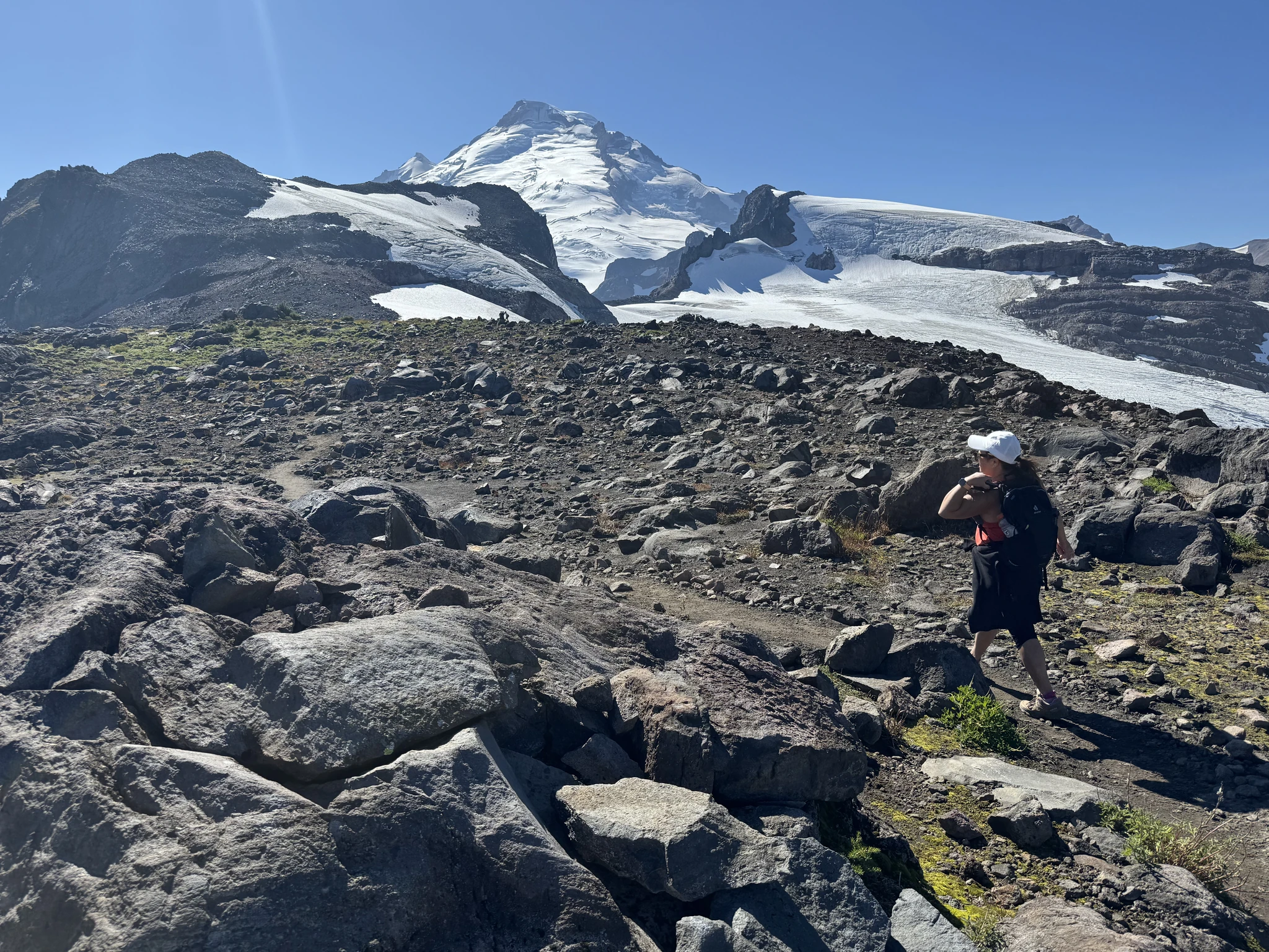
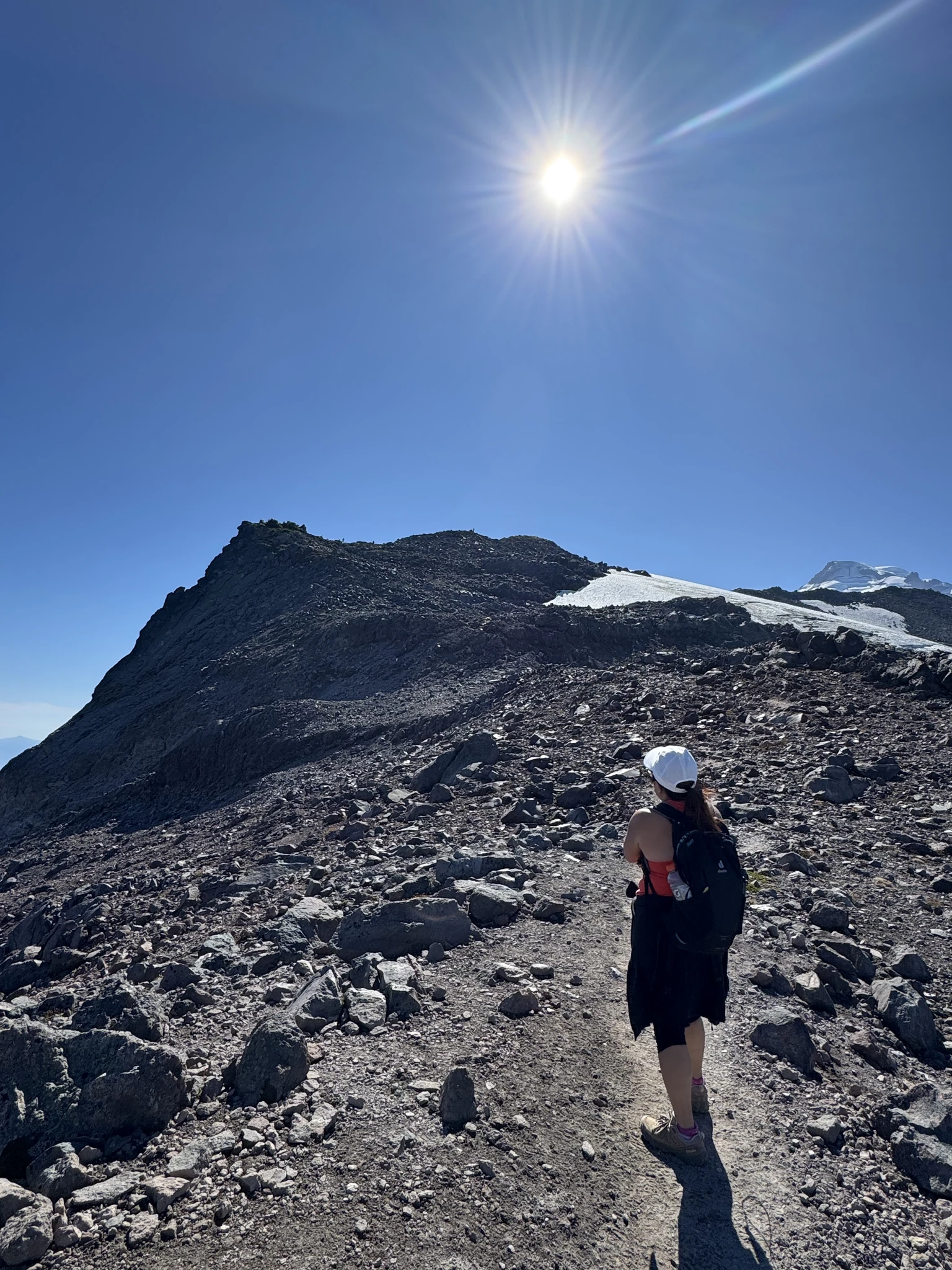
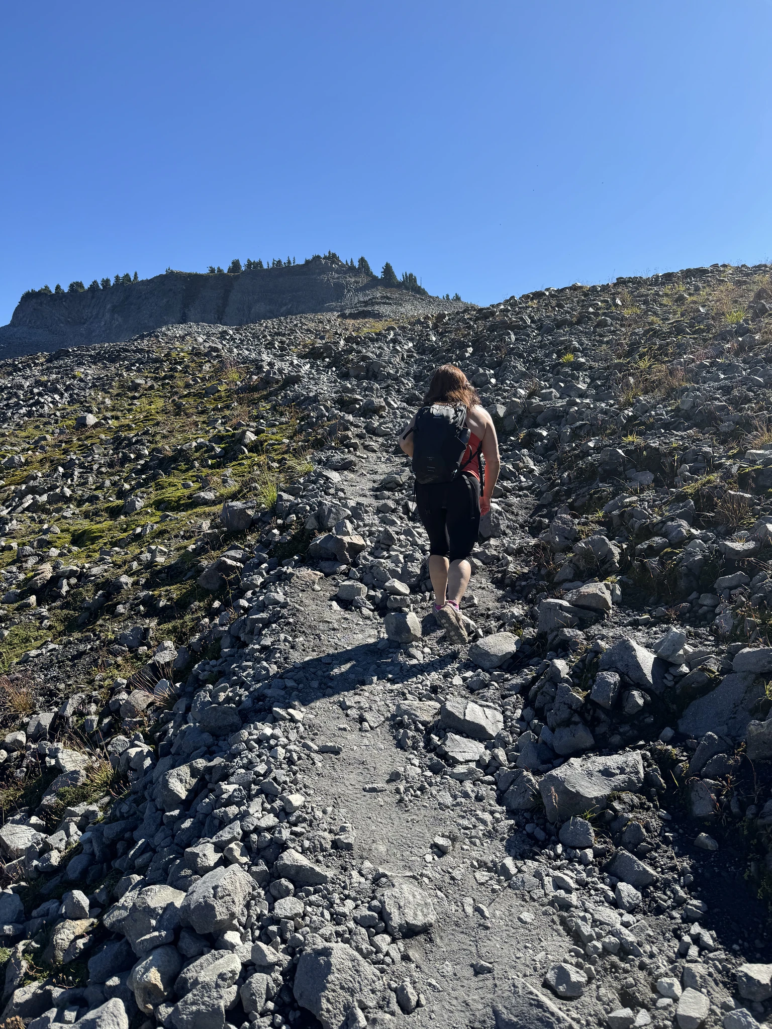
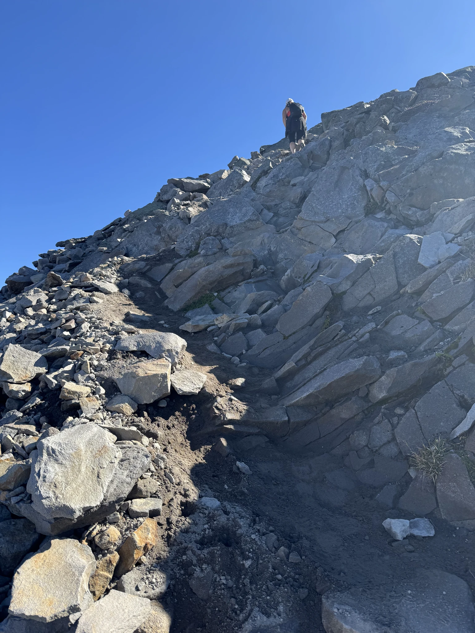
Up here its confusing sometimes on which part of the trail is the real trail or some shortcut. This part is pretty steep and I’m not sure if its the real trail.
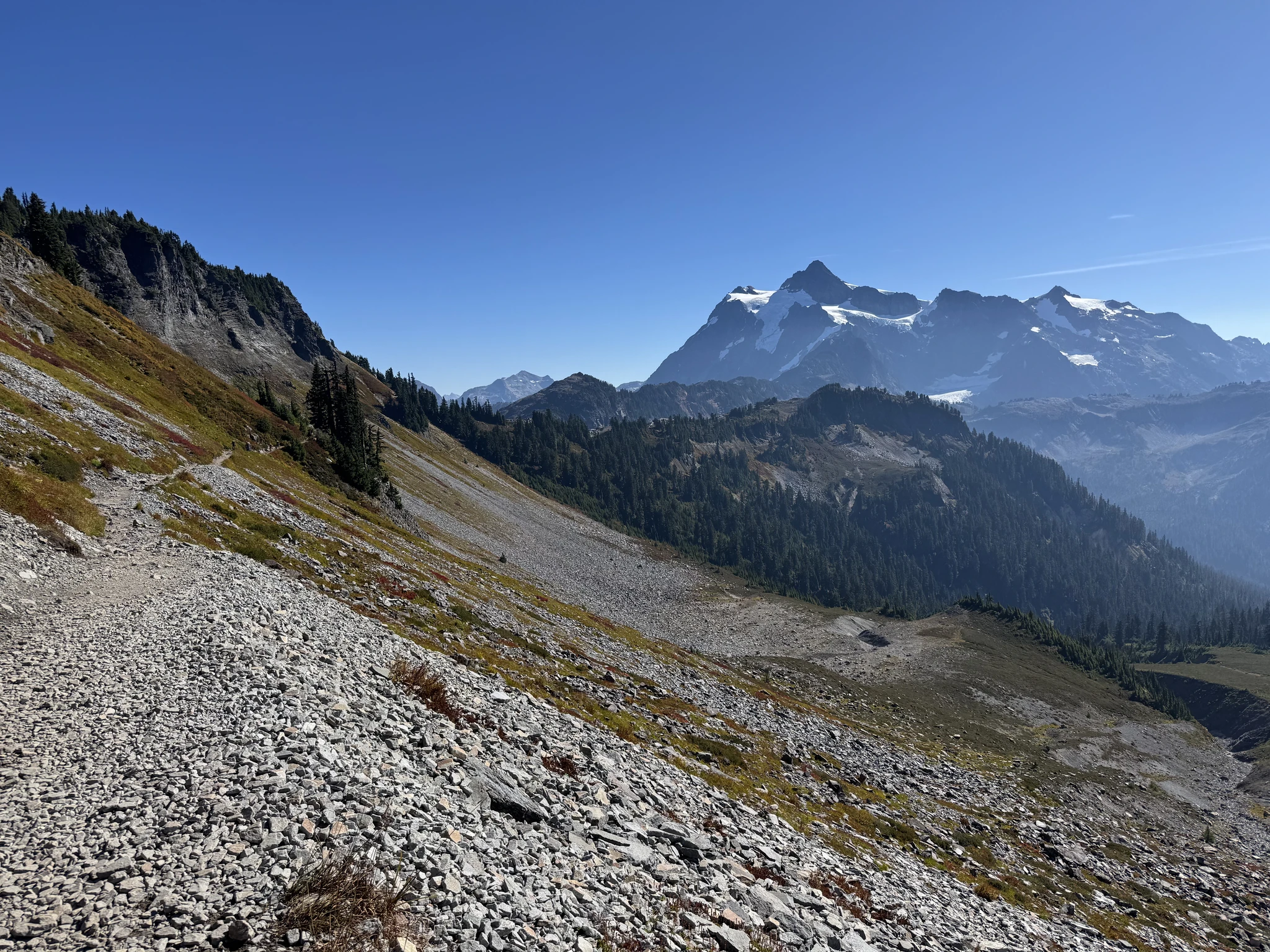
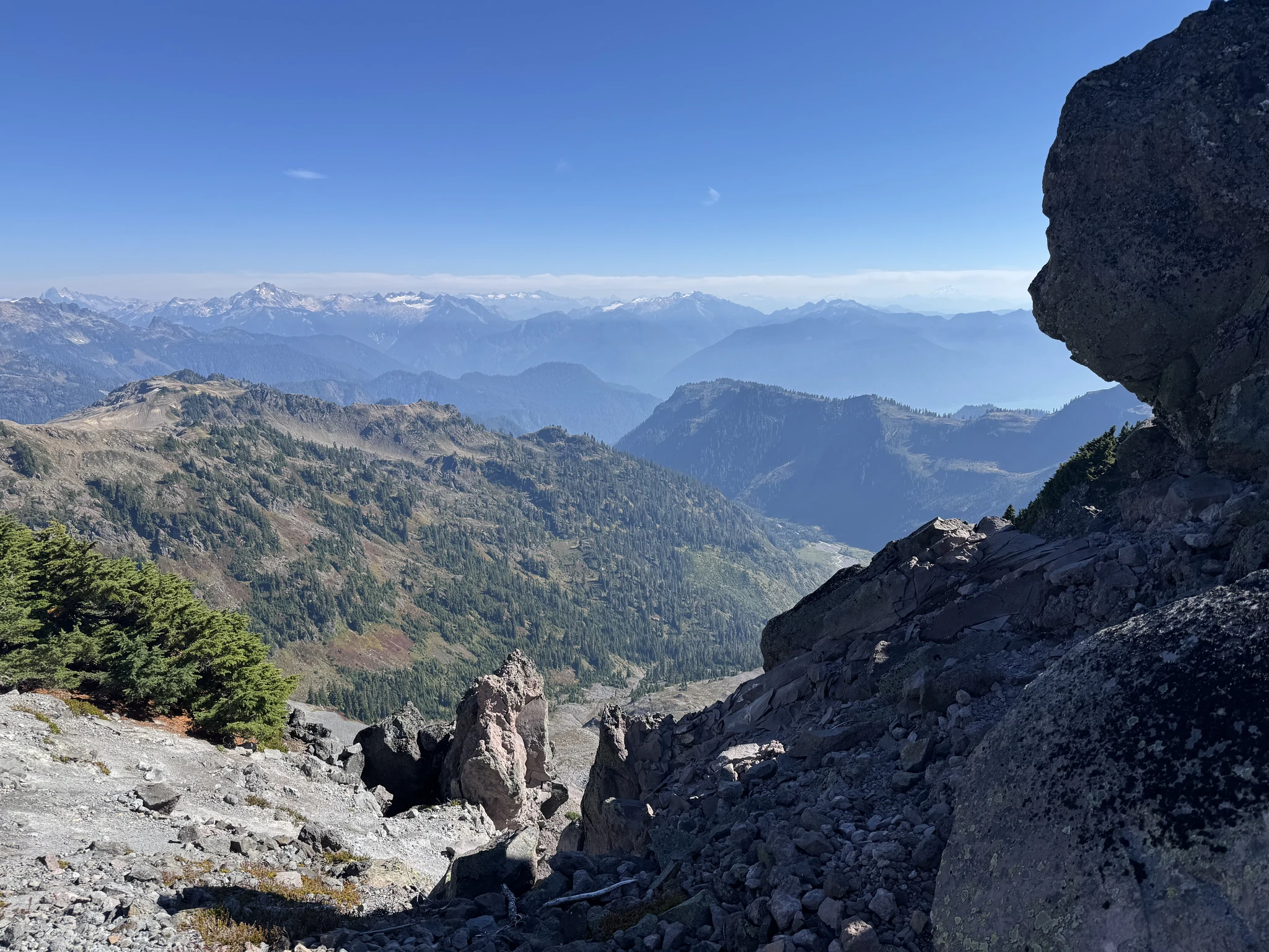
As we are getting up to higher altitude, the distant view is amazing.
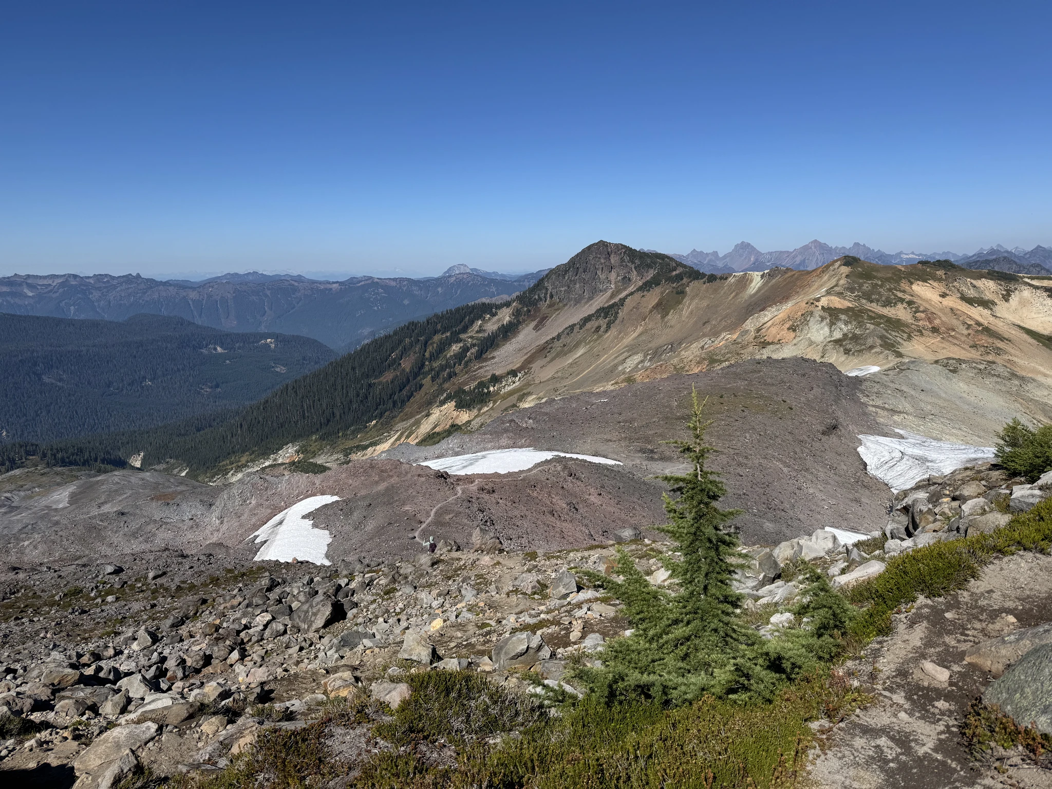
This part of the trail crosses some snow which we carefully cross so we don’t skip and fall down.
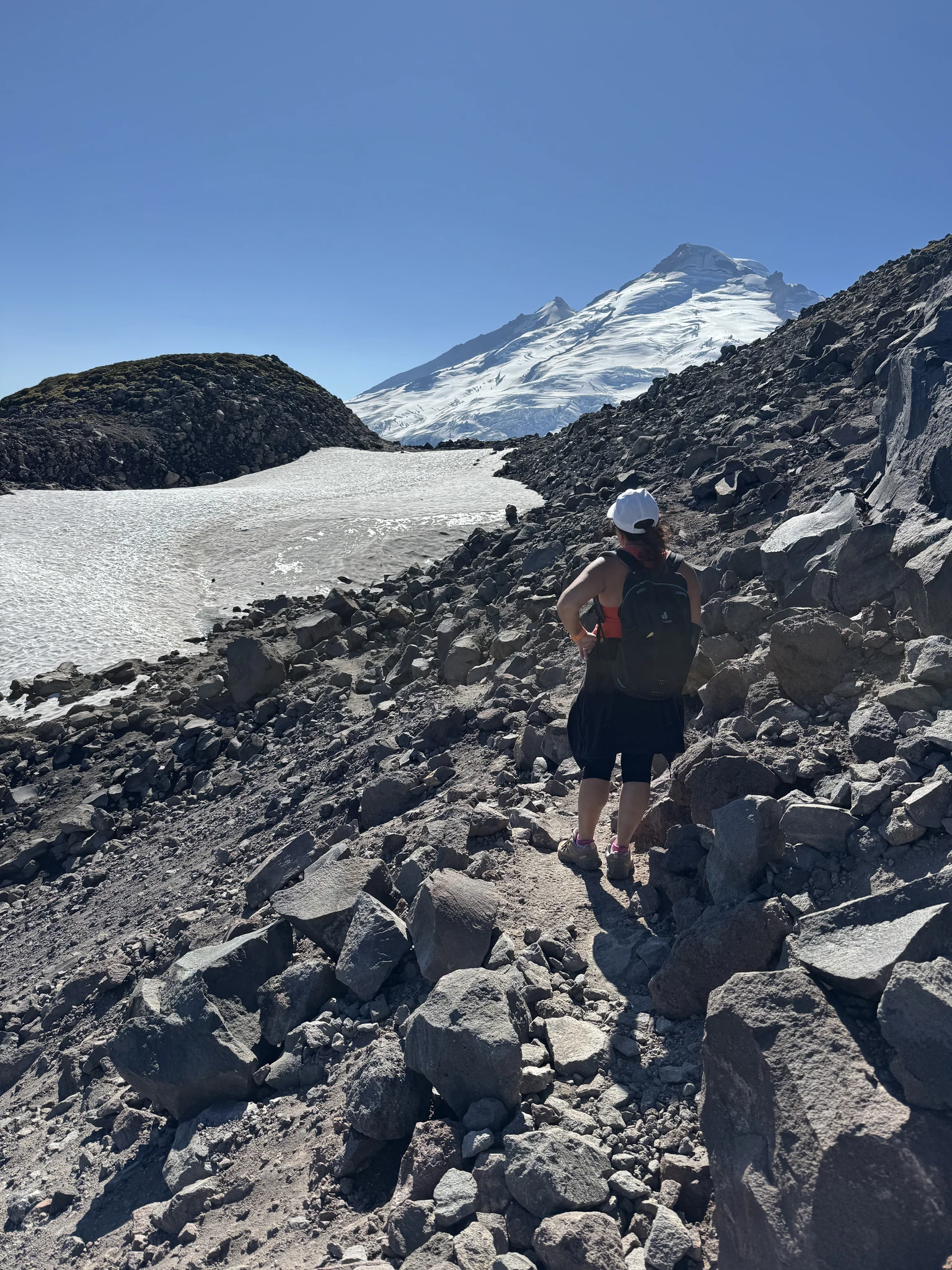
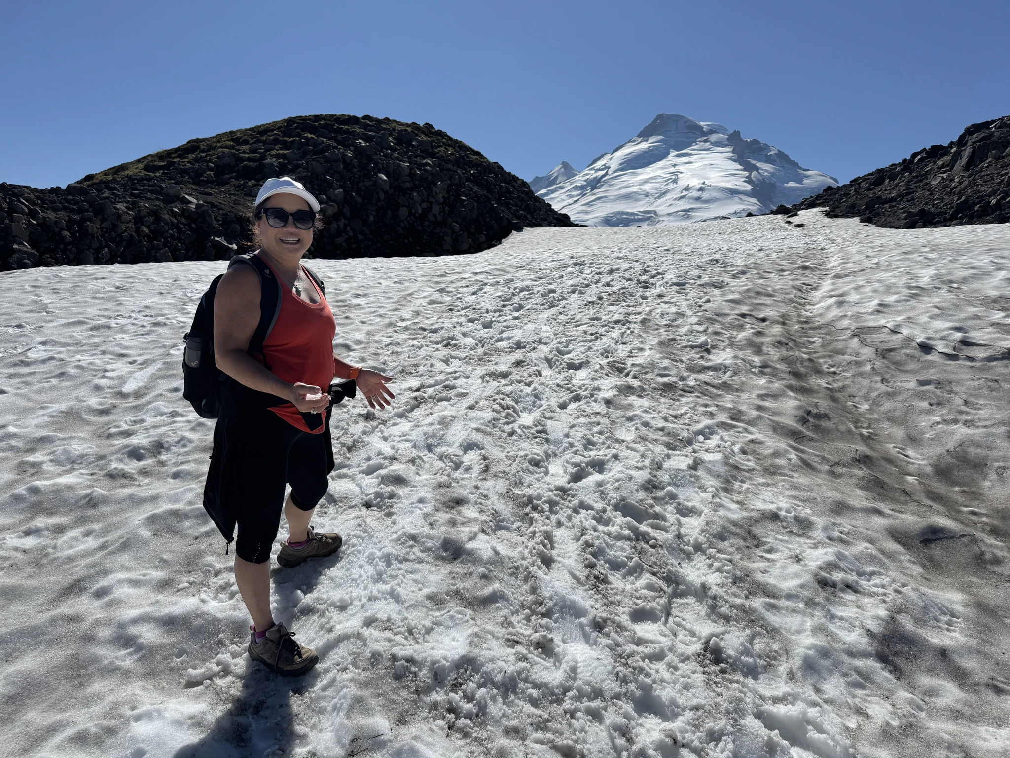
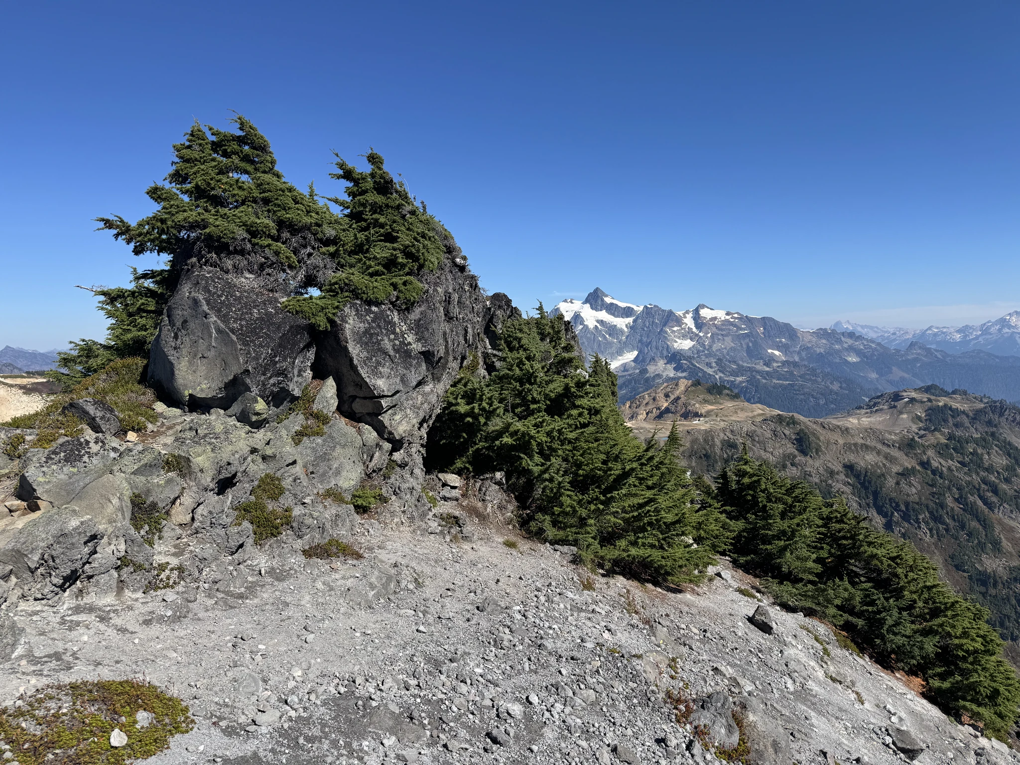
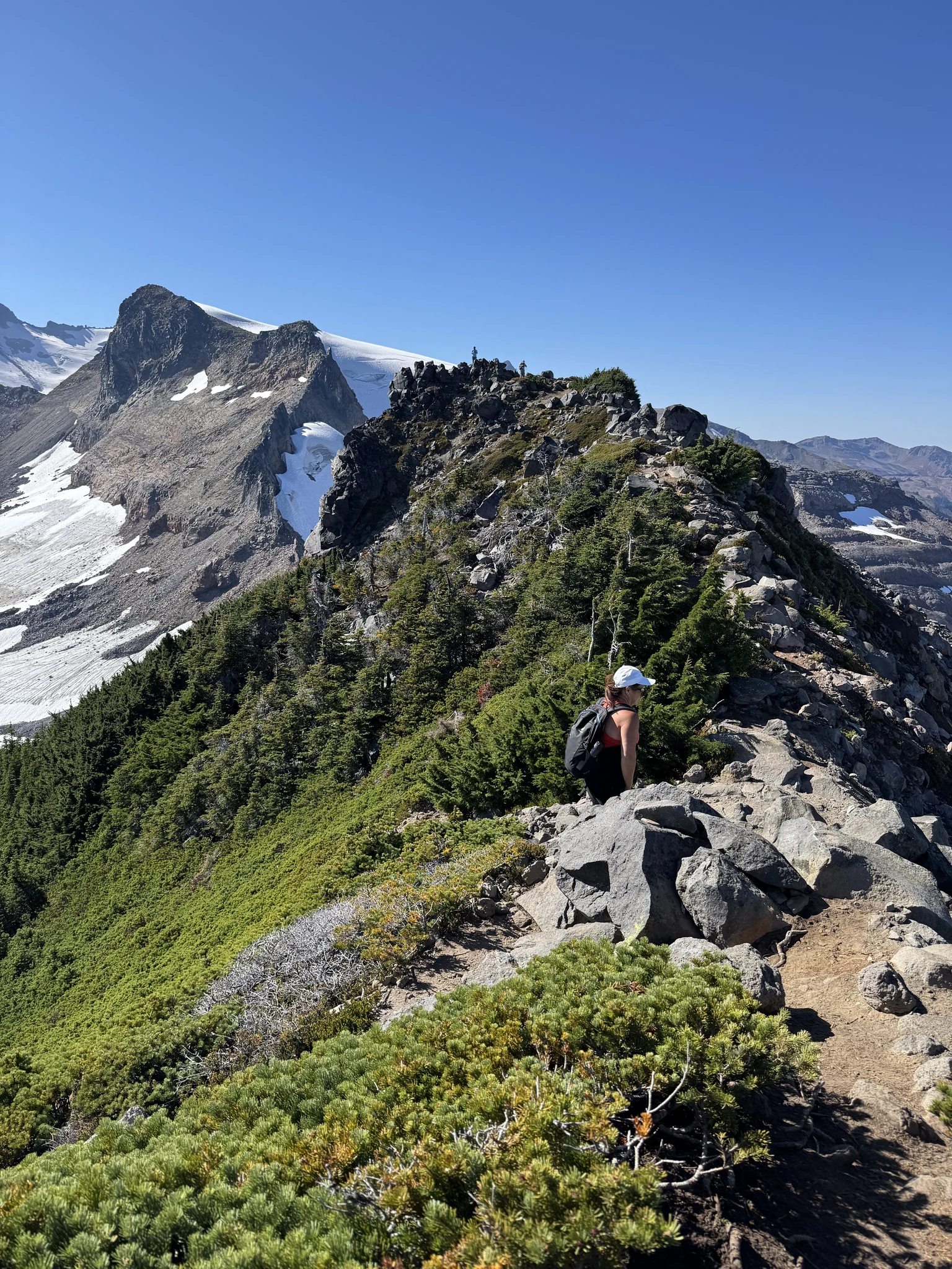
We have made it up to the ridge and the view of the mountain is wonderful.
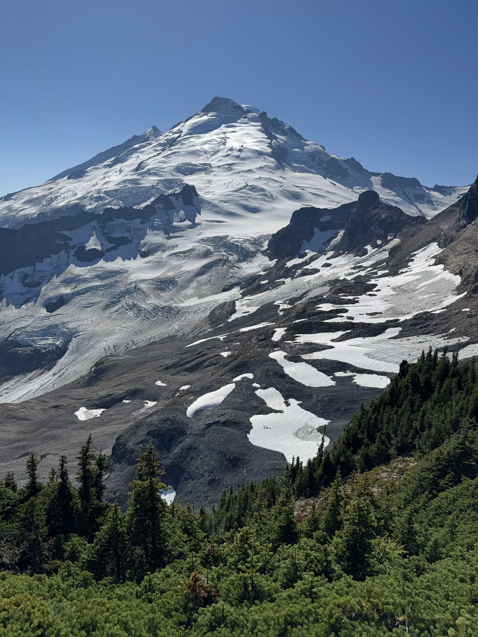
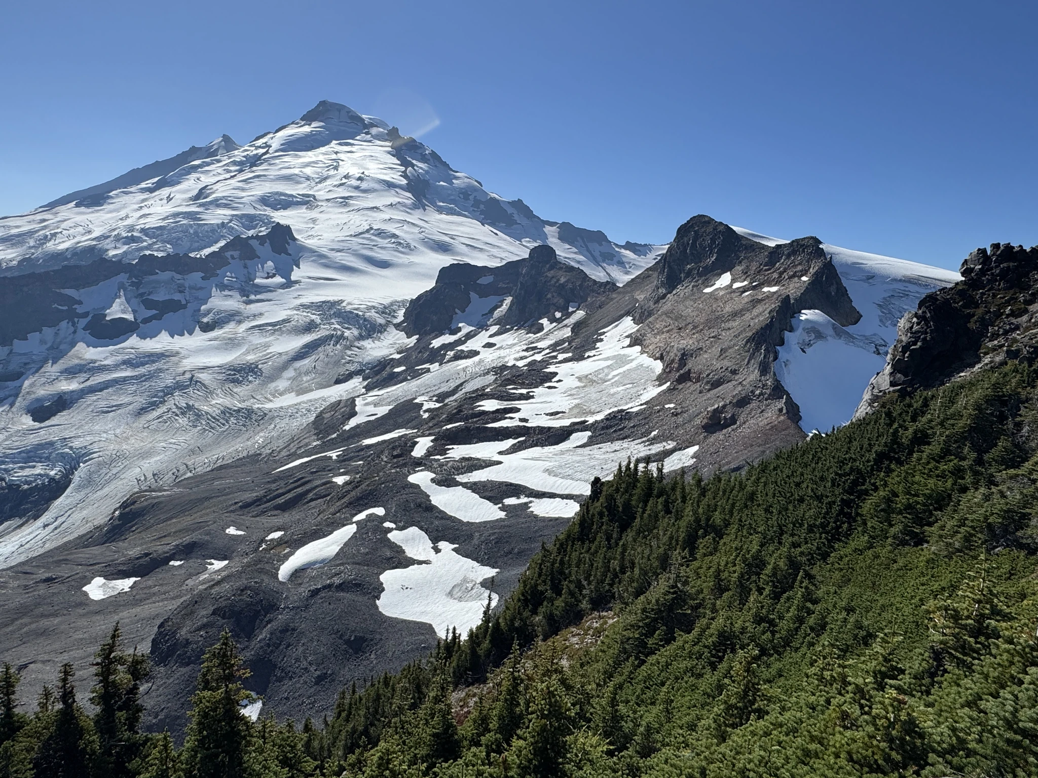
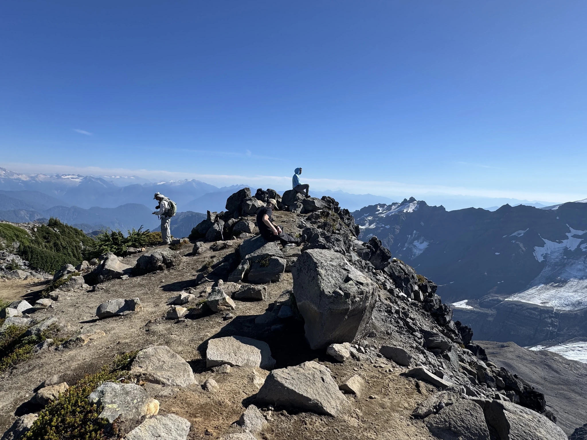
There are three hikers also here. We will cross the ridge top and sit for a lunch break.
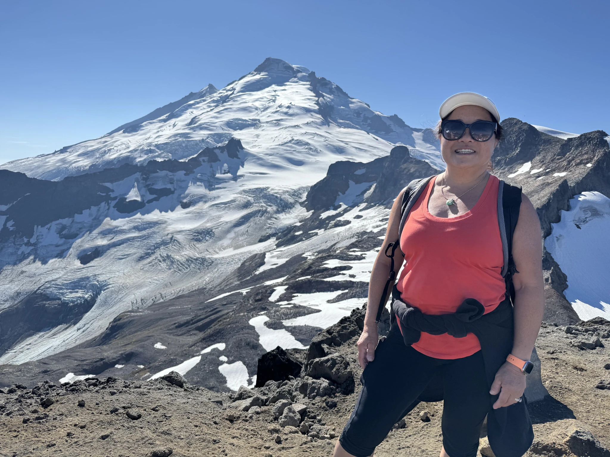
The three individual hikers are enjoying their time. We strike up some short conversations as they are friendly adventurers and nature lovers just like us. We are all overtaken by our surroundings.
Some fun picture taking from the top of Ptarmigan Ridge.
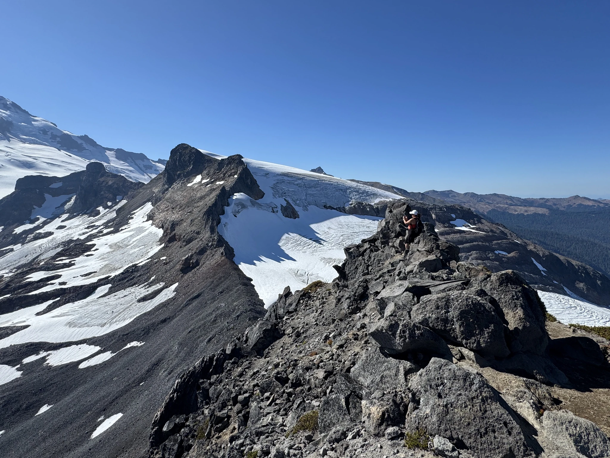
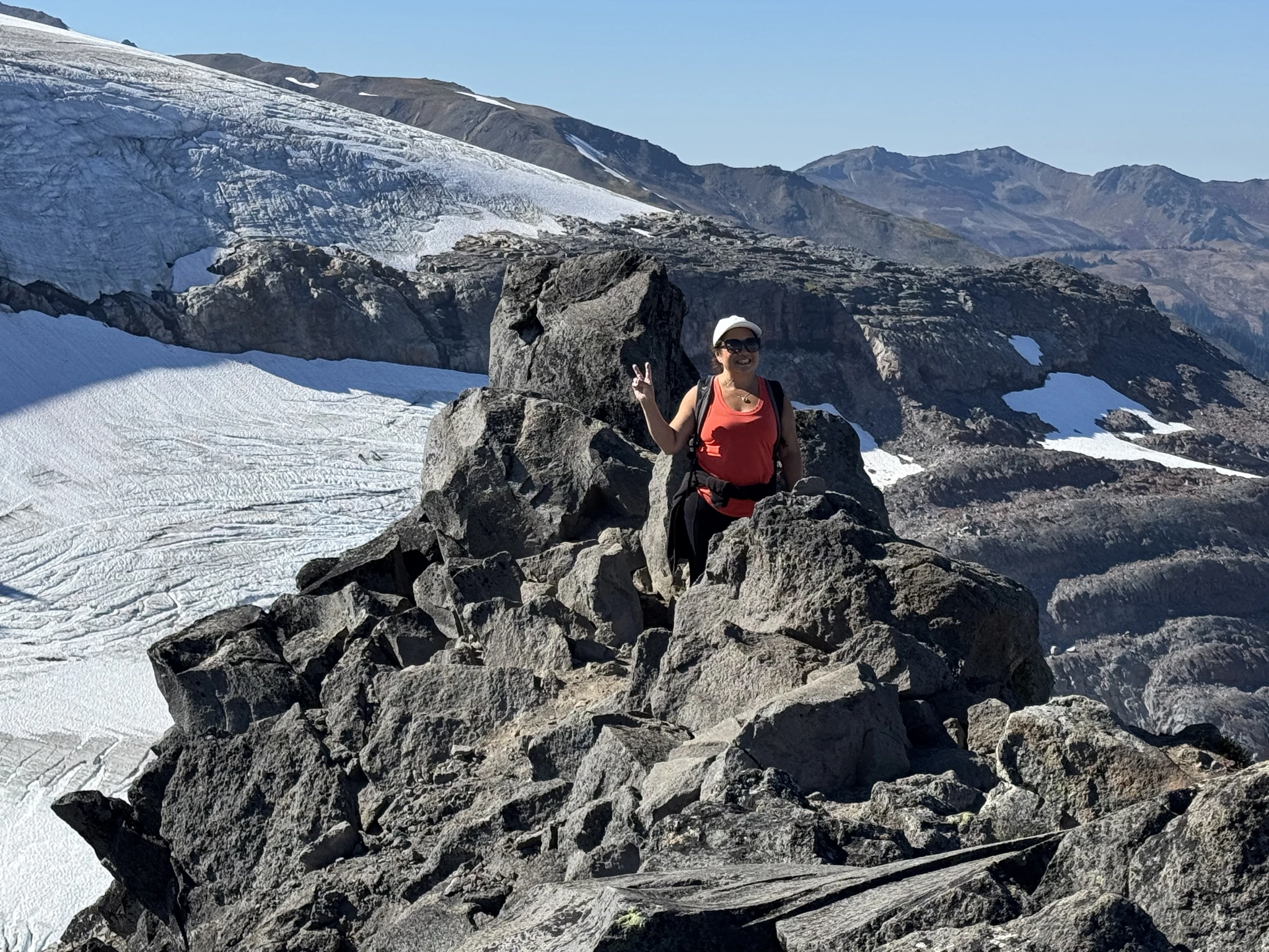
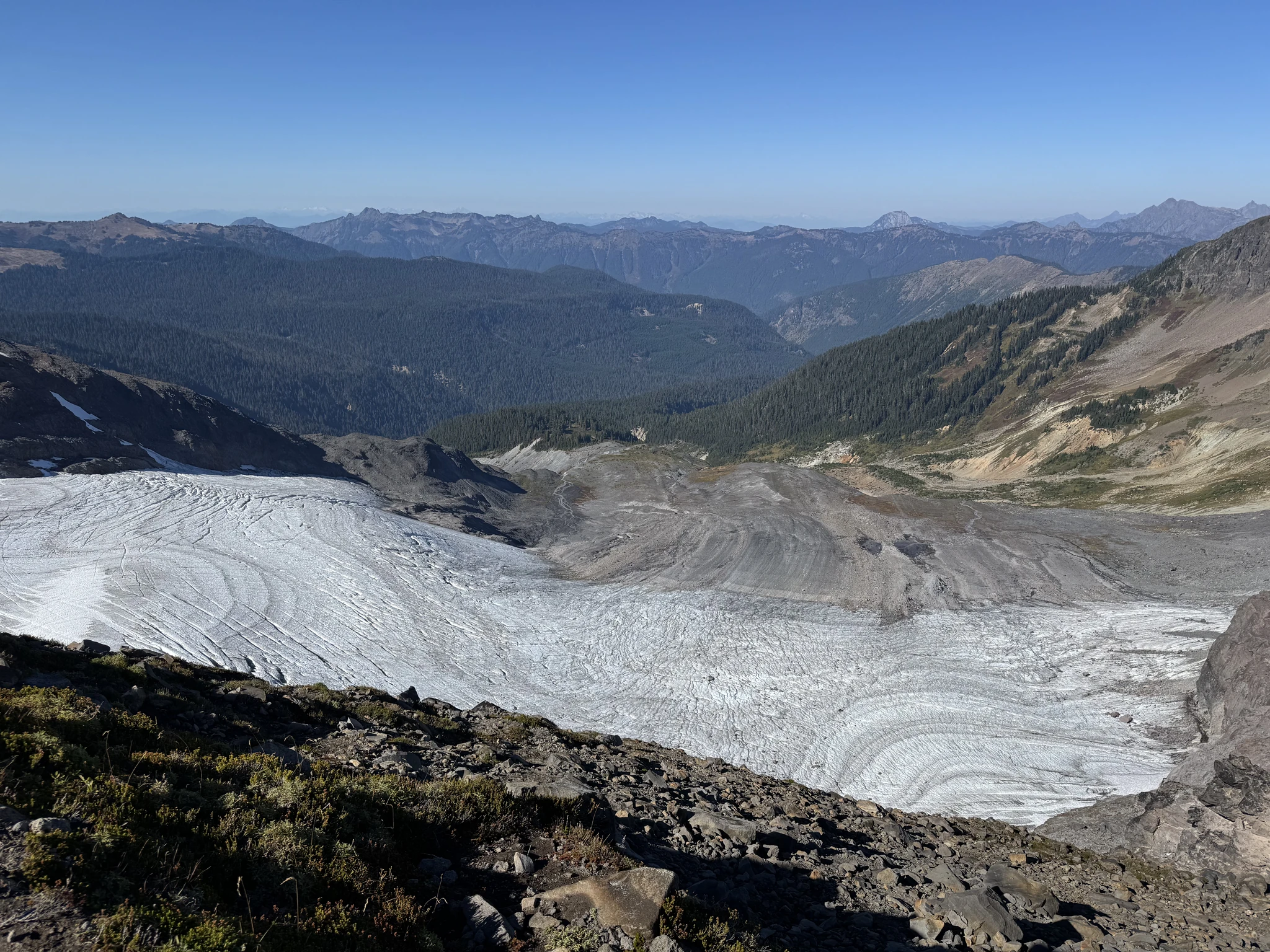
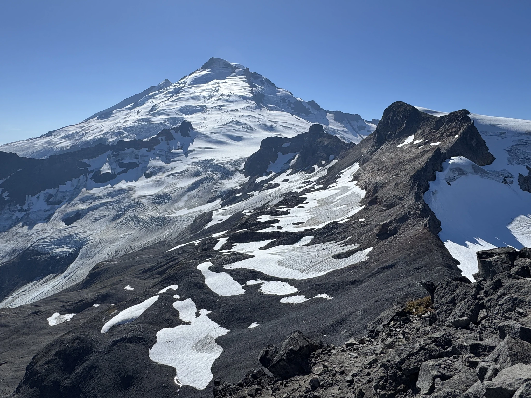
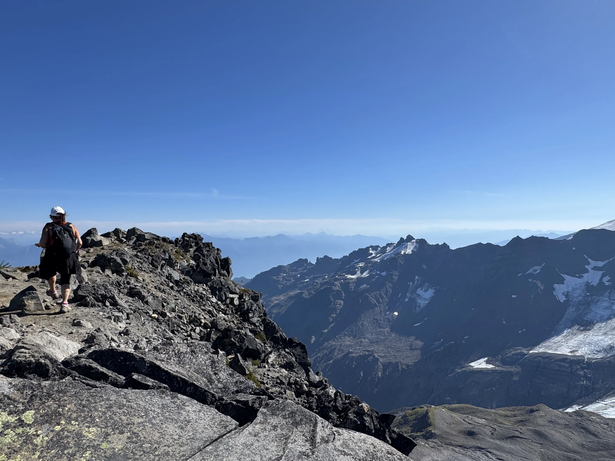
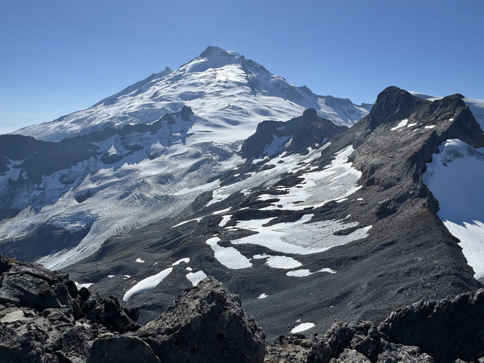
We finish our lunch and its time to leave. I take some additional photos as we start making progress back.
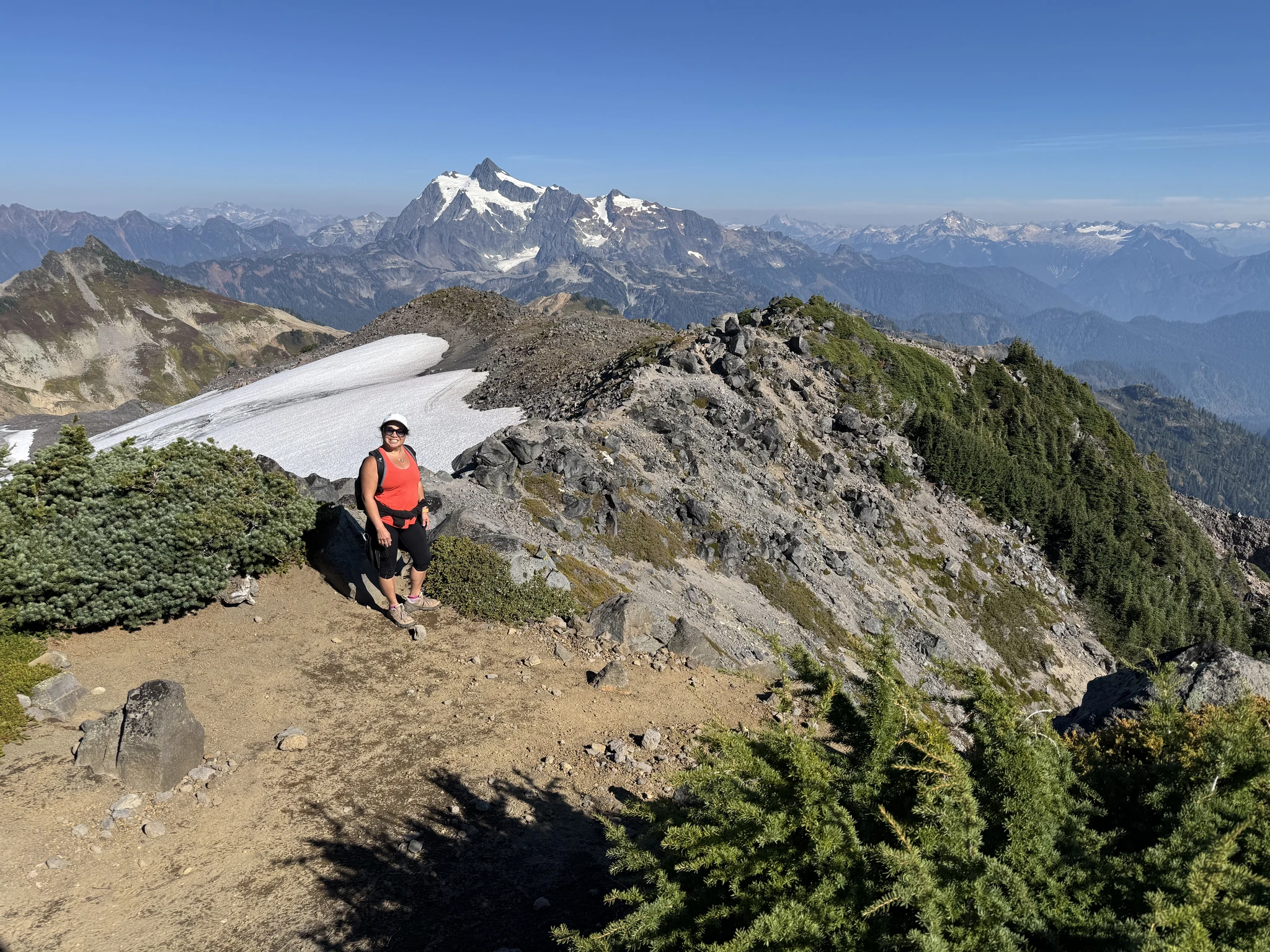
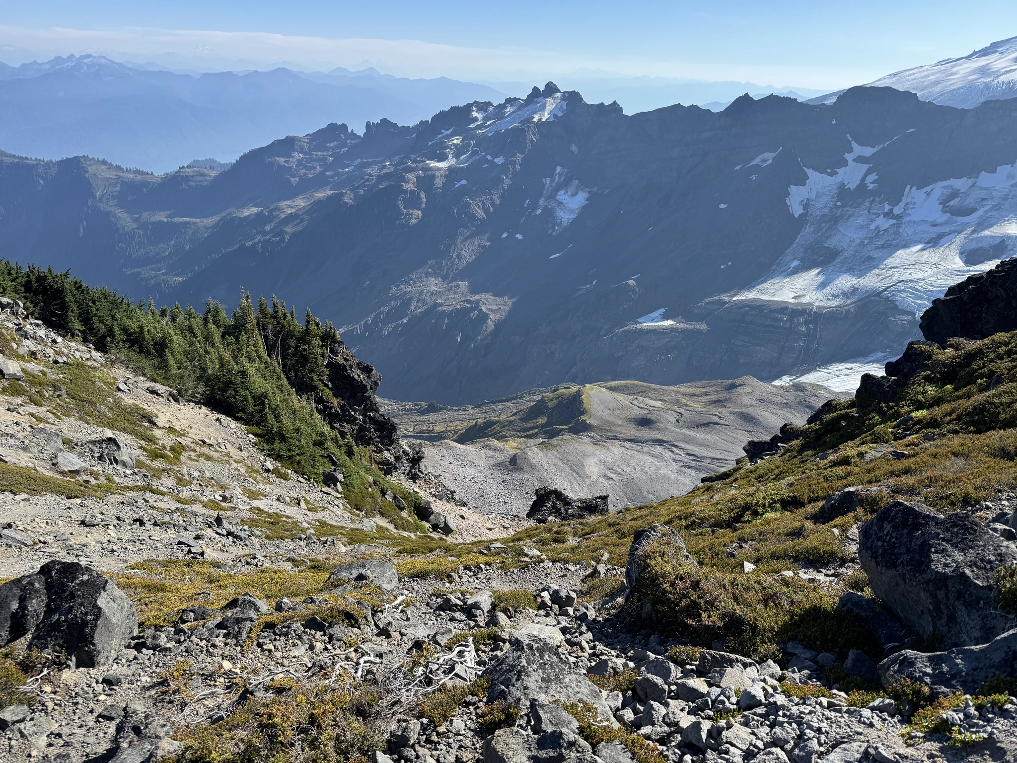
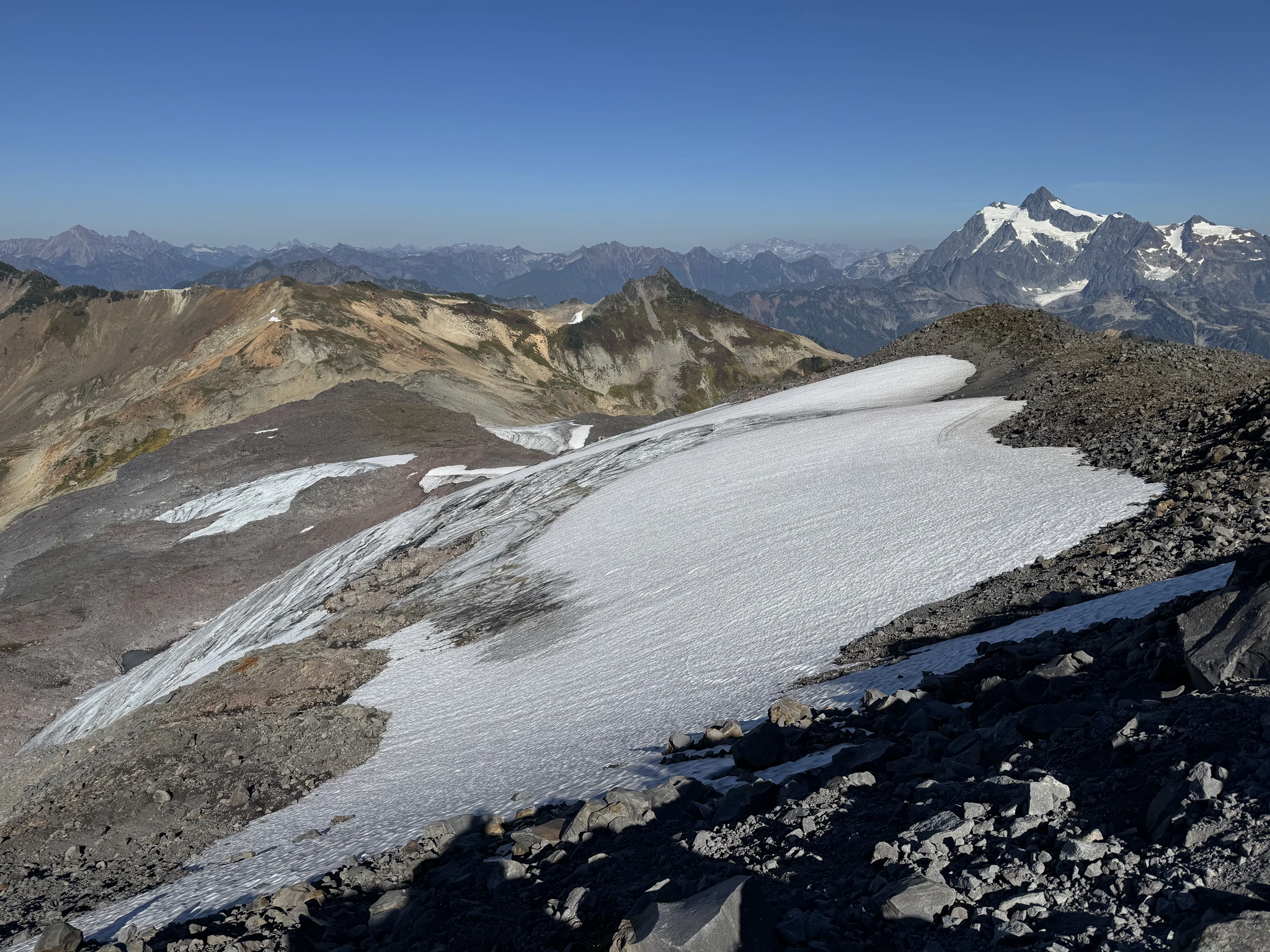
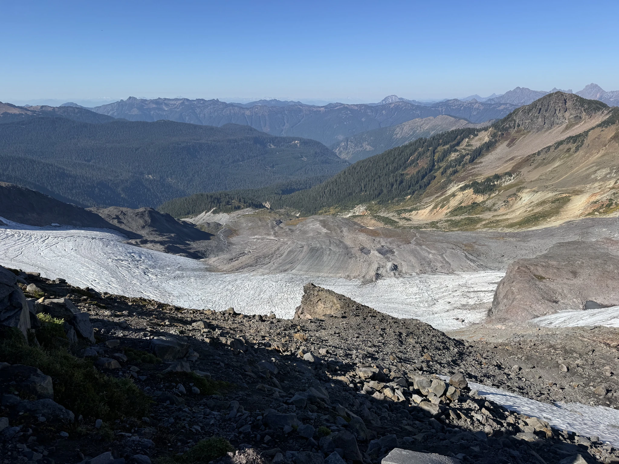
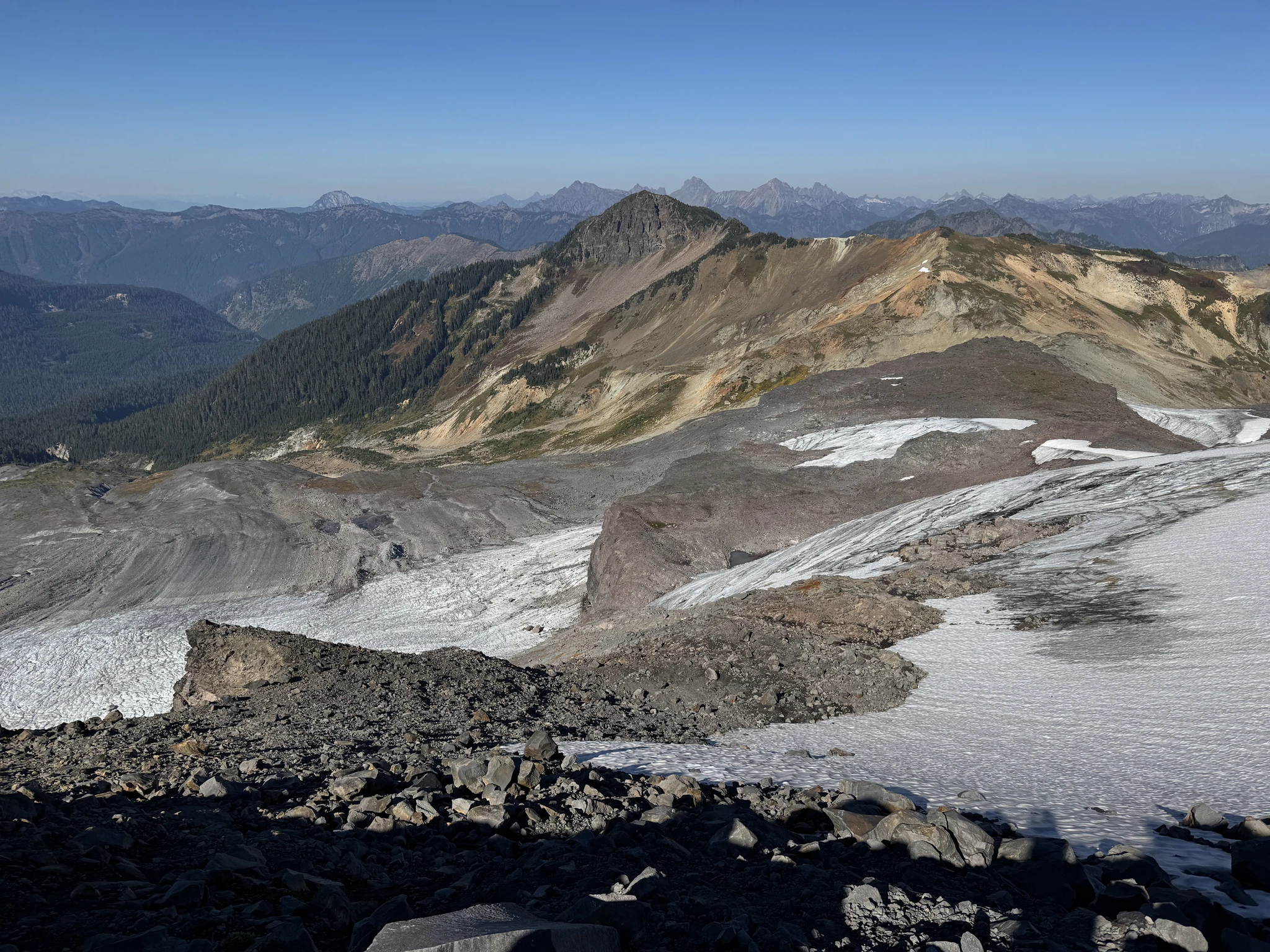
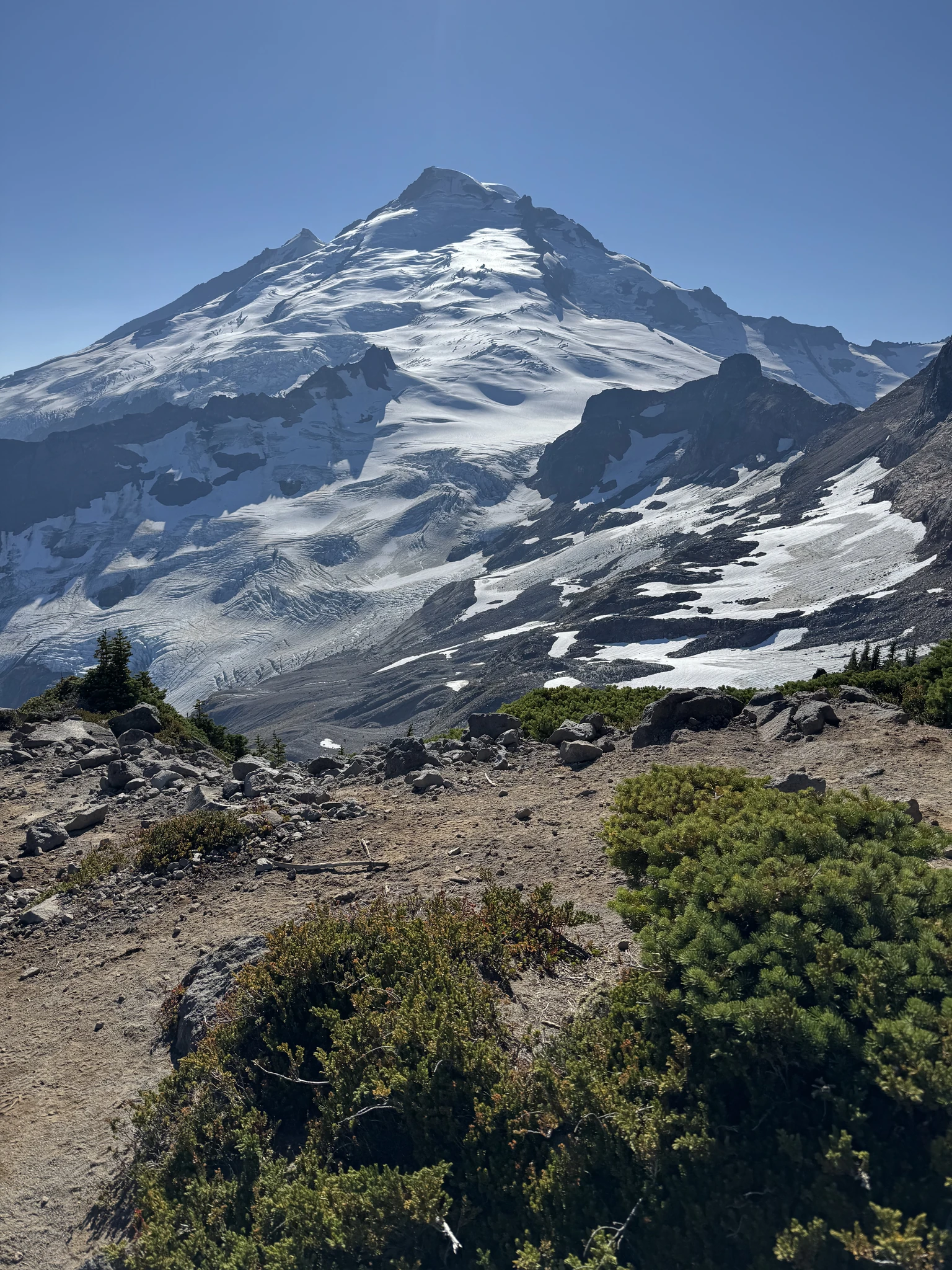
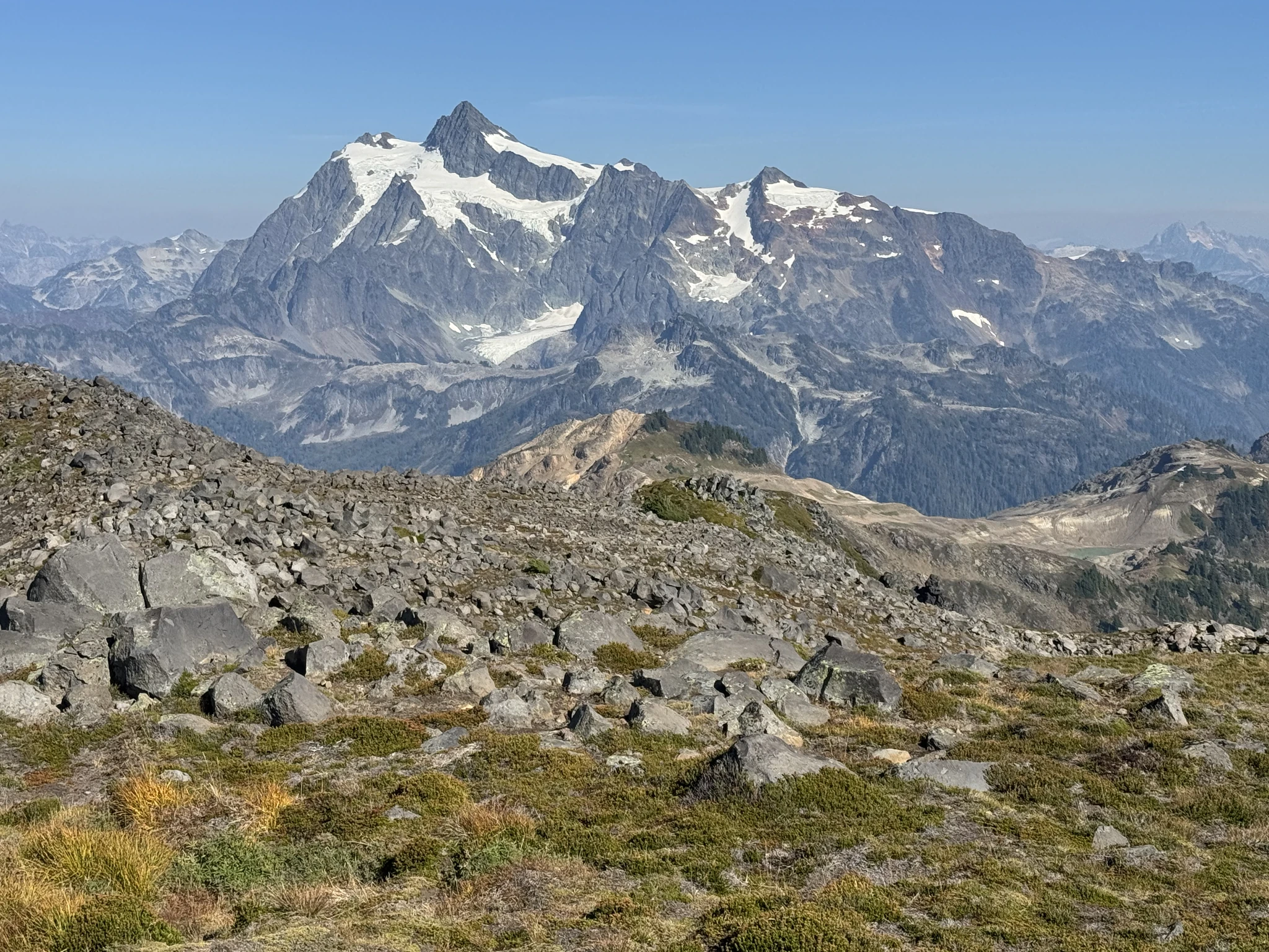
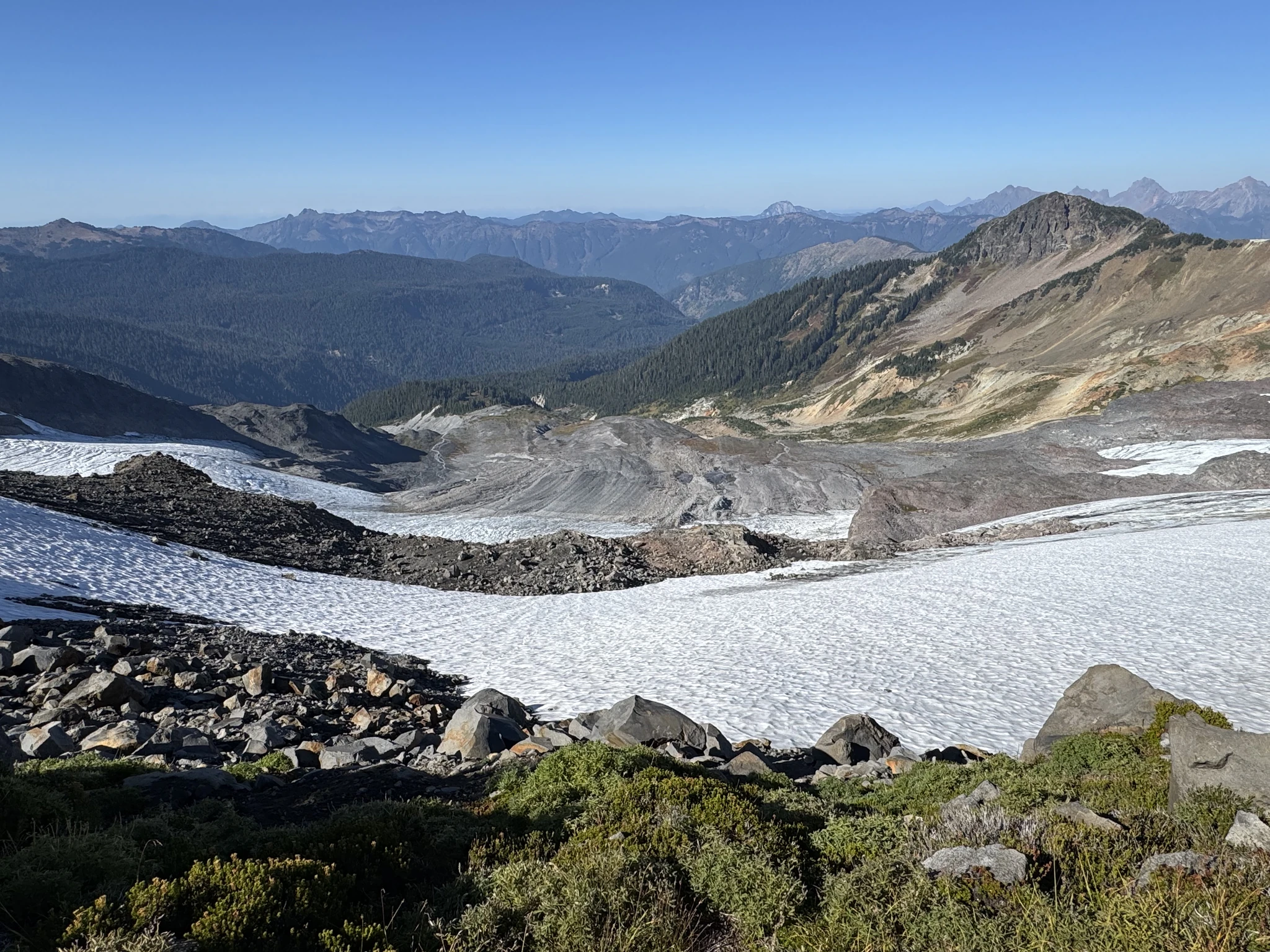
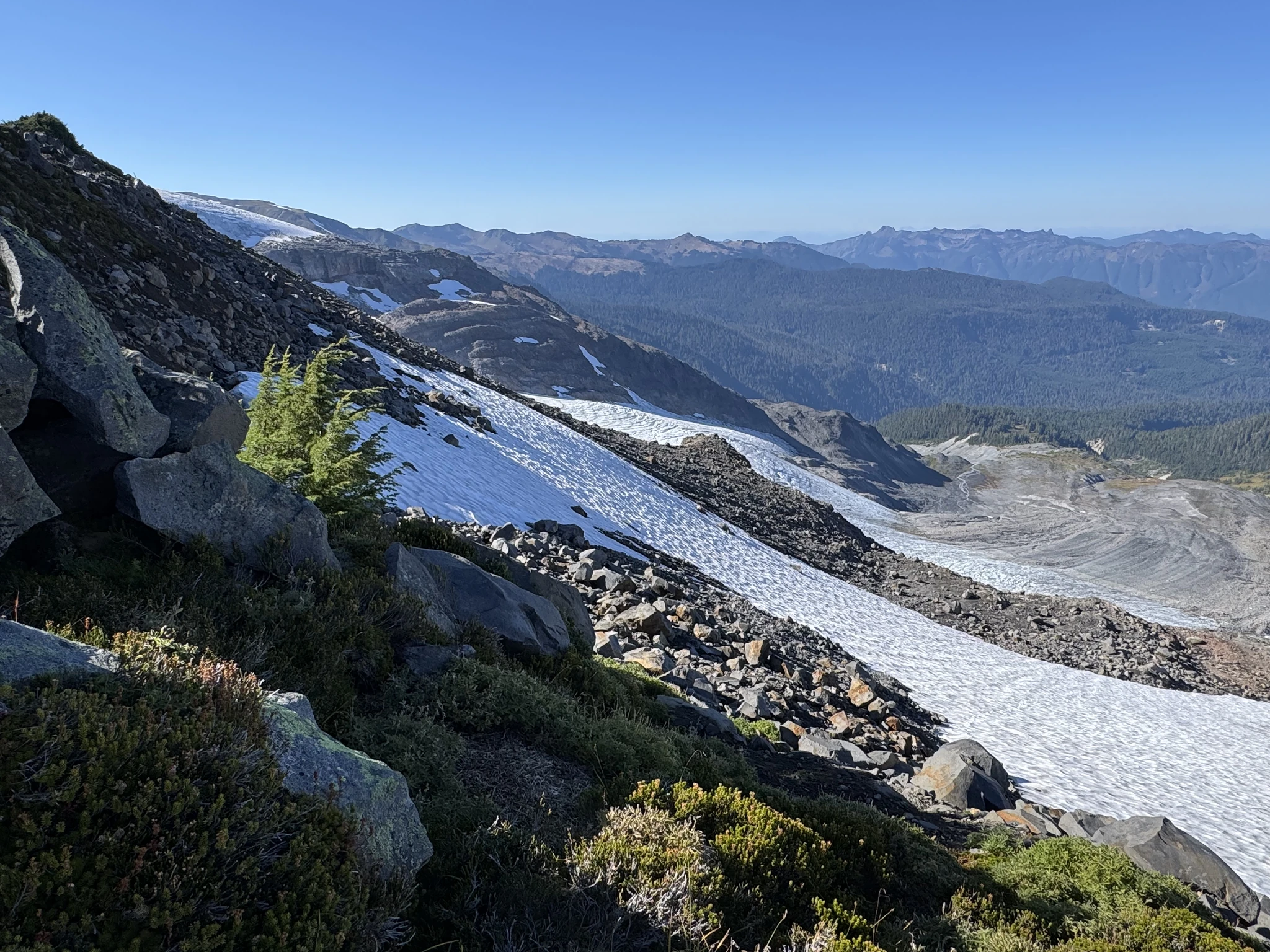
On the trail heading back. We have to be careful going down some of the steep parts we came up.
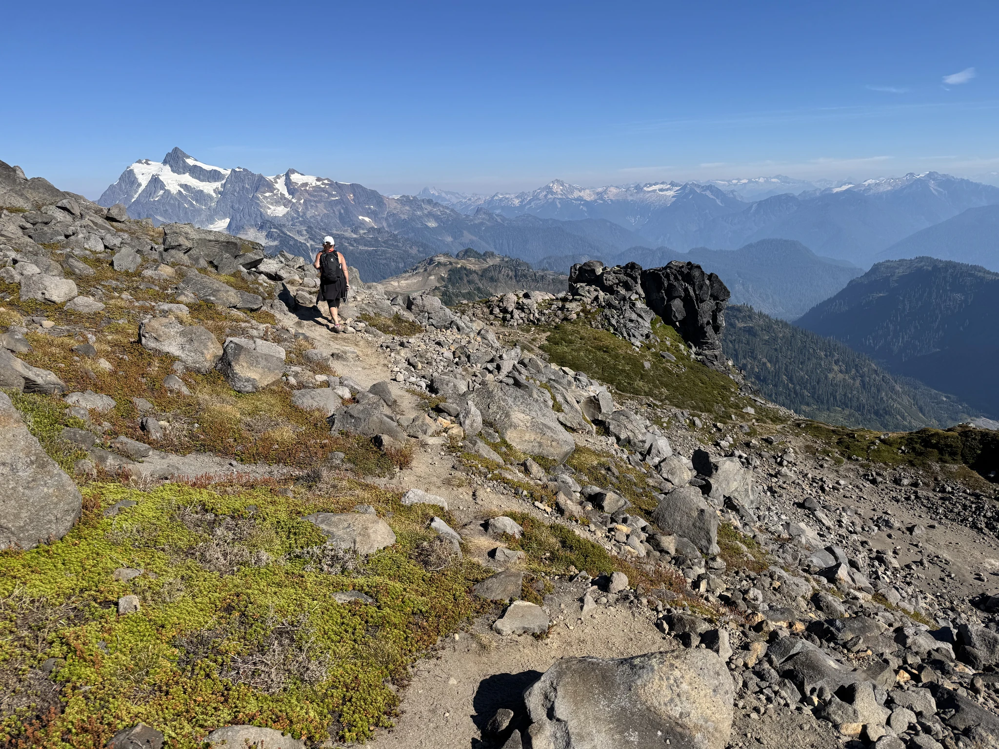
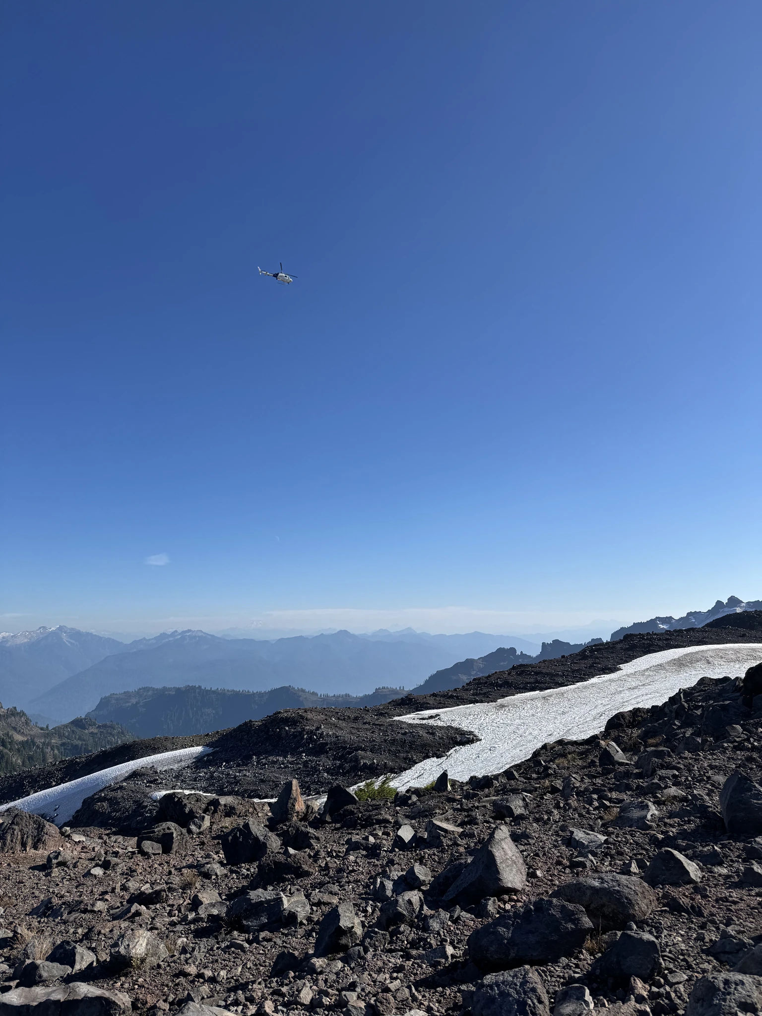
We see a helicopter fly overhead.
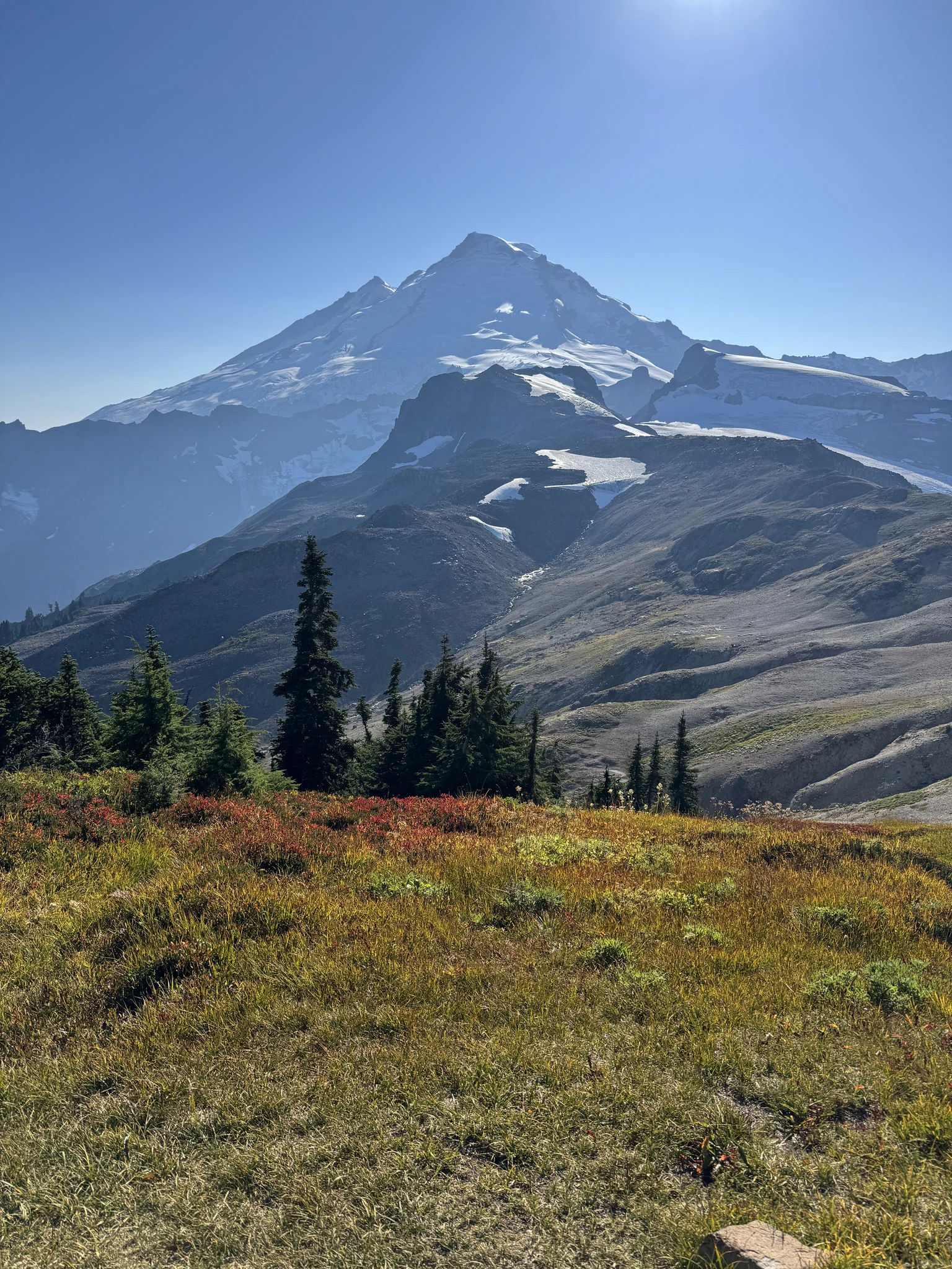
Seeing the lakes off in the distance. I notice a tent is next to one.
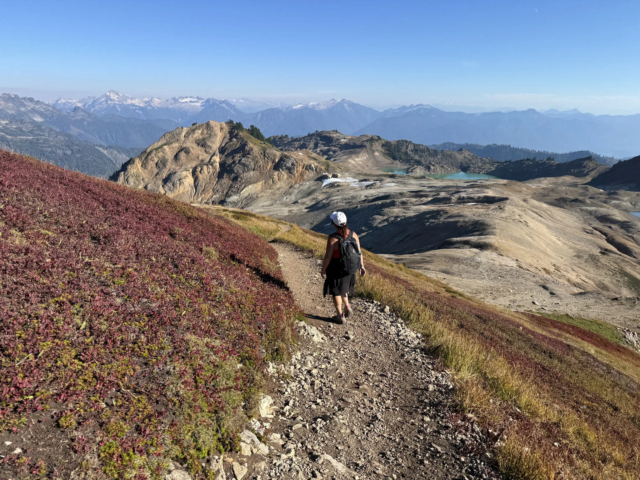
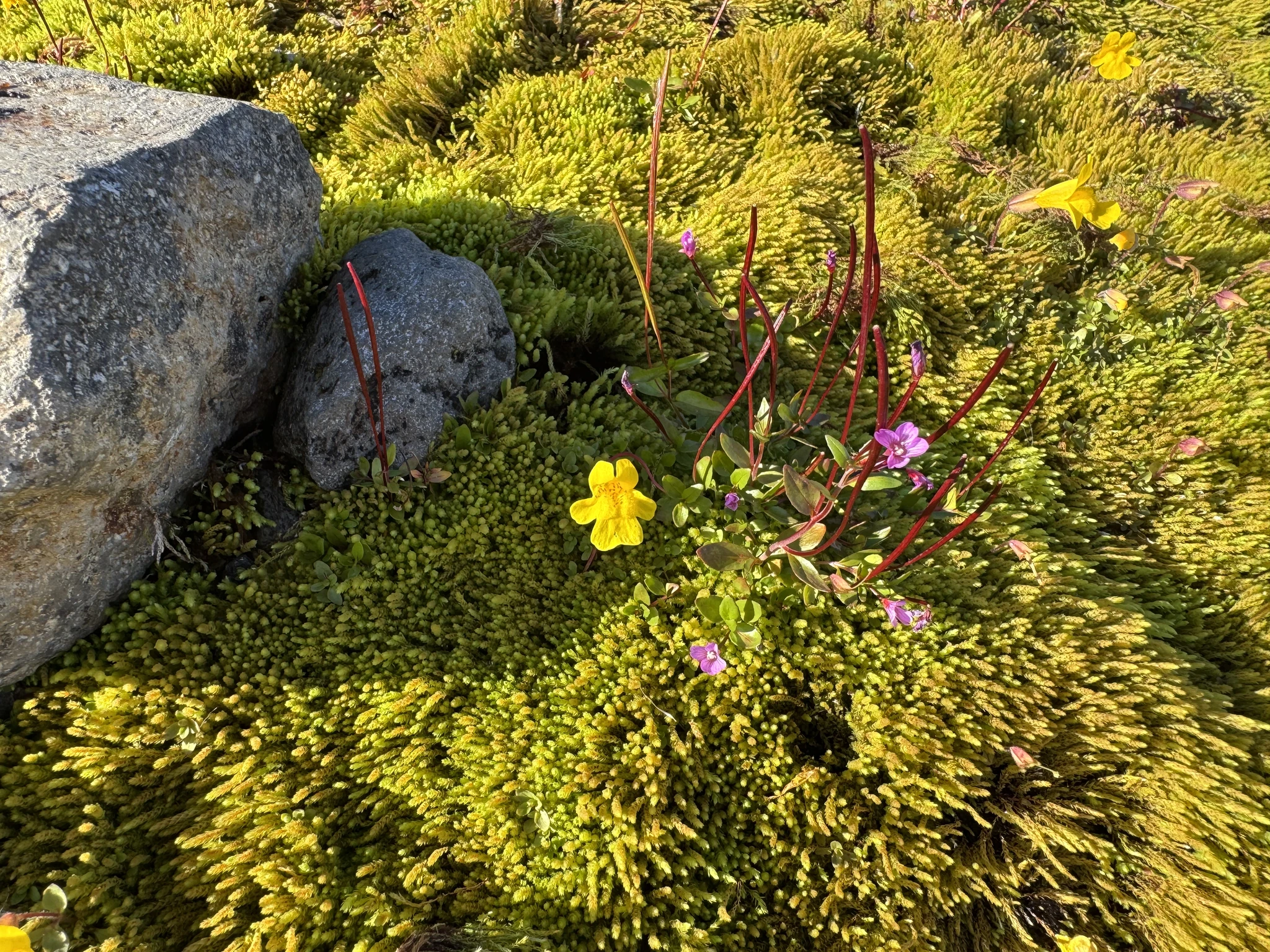
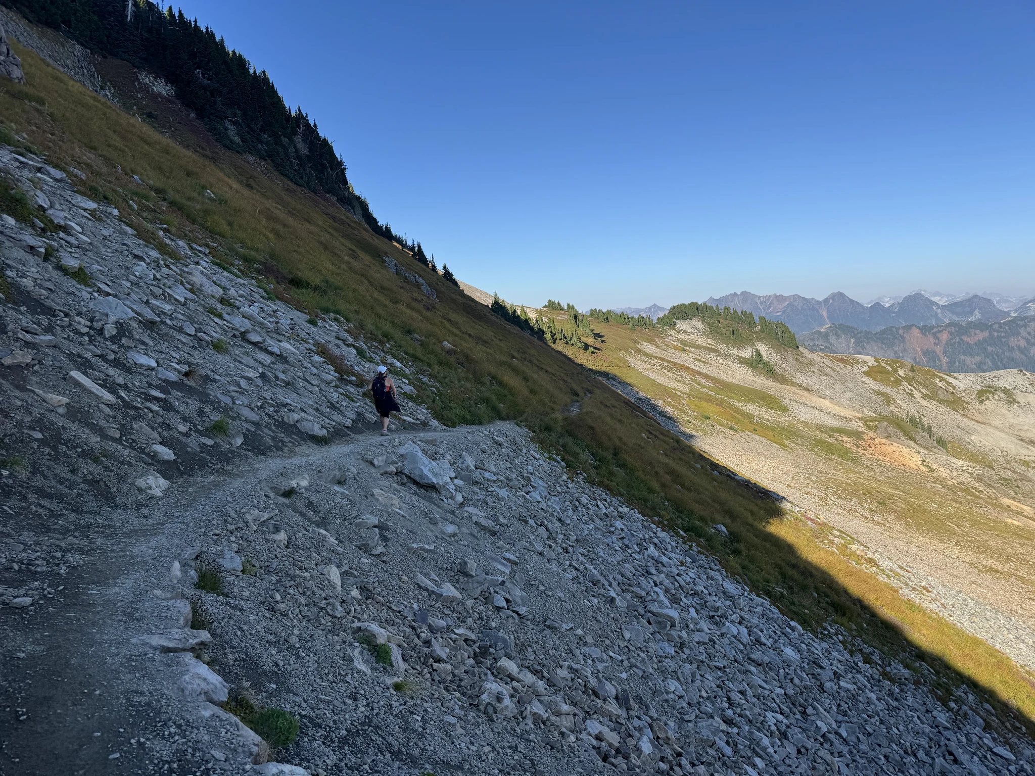
We make it back to the colorful open field. The sun light is warmer now as the sun gets lower to the sky.
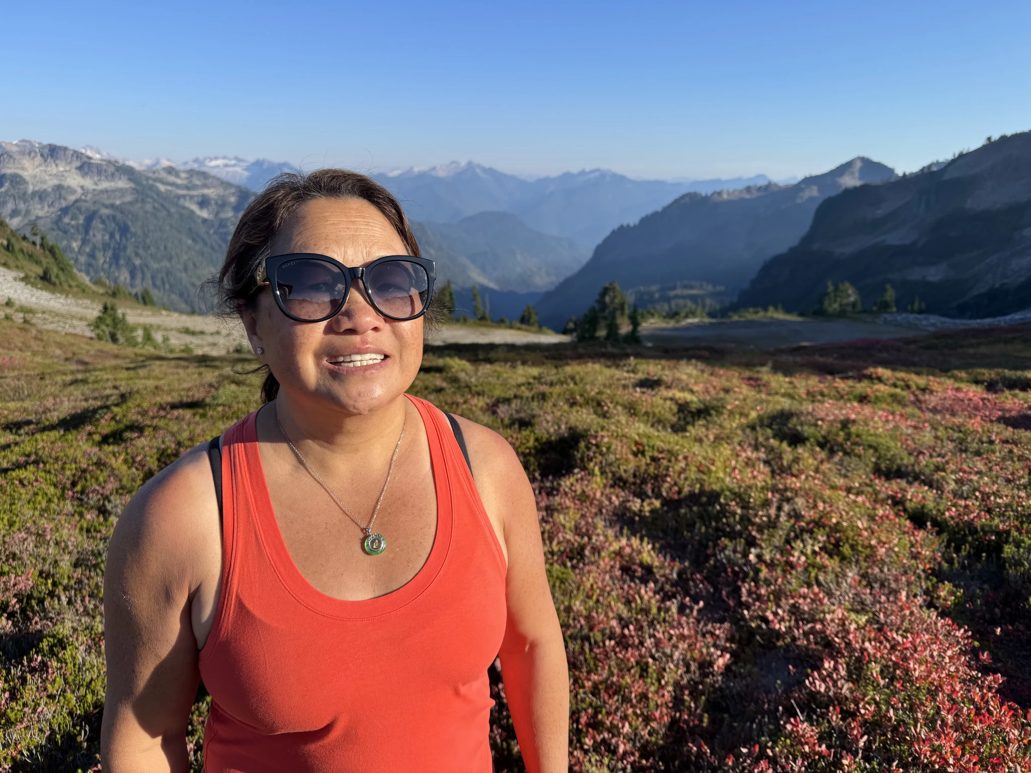
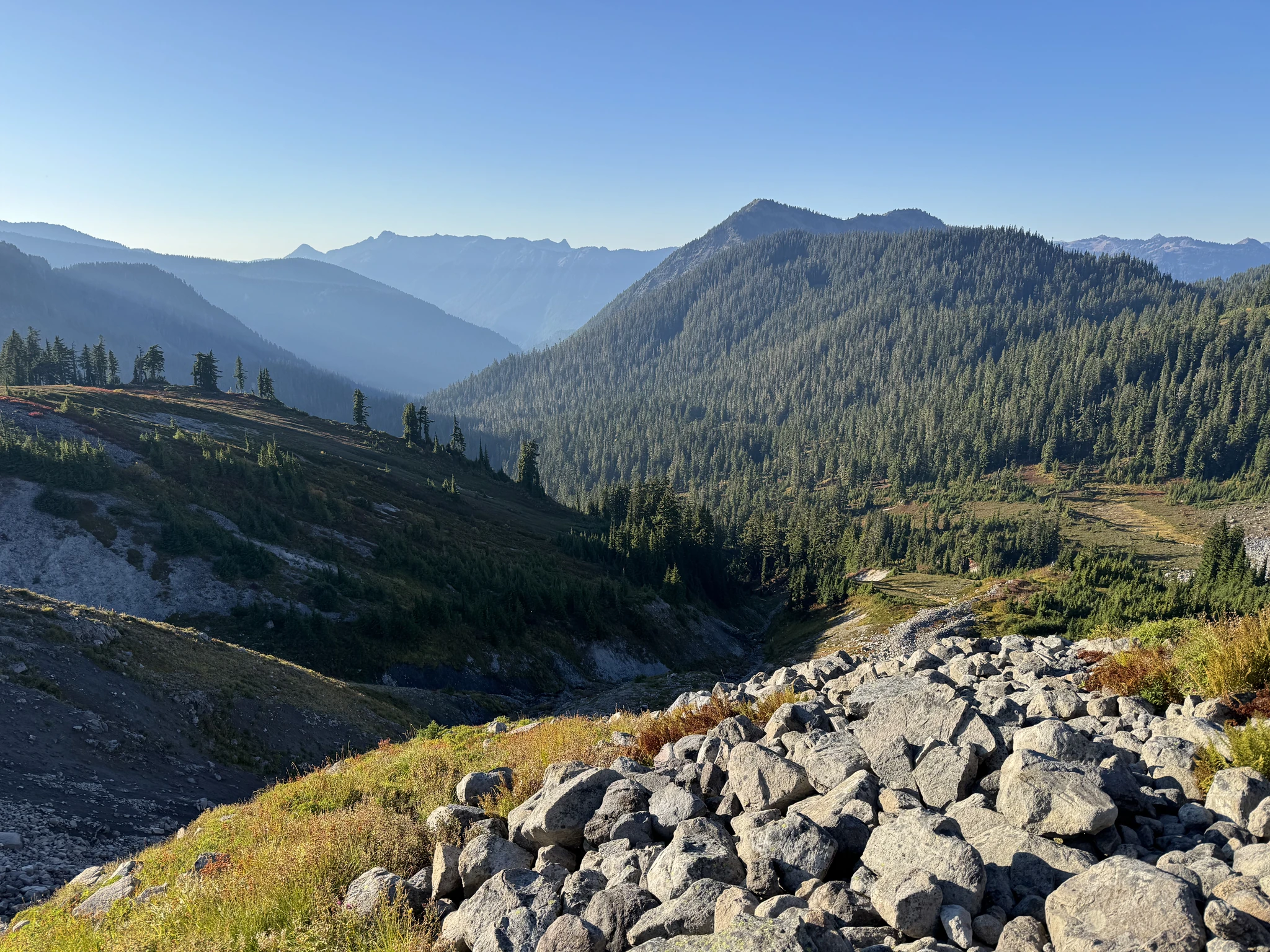
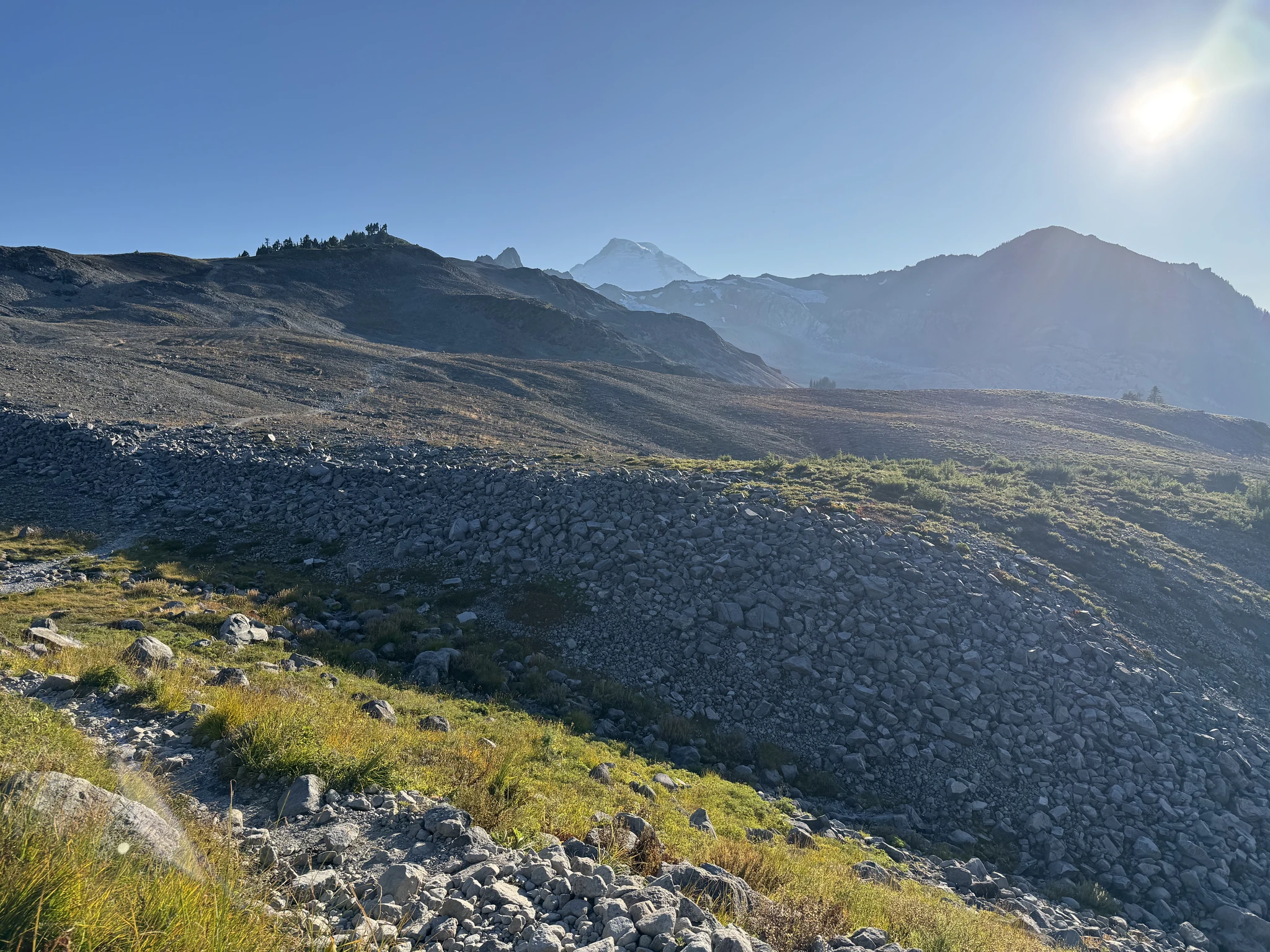
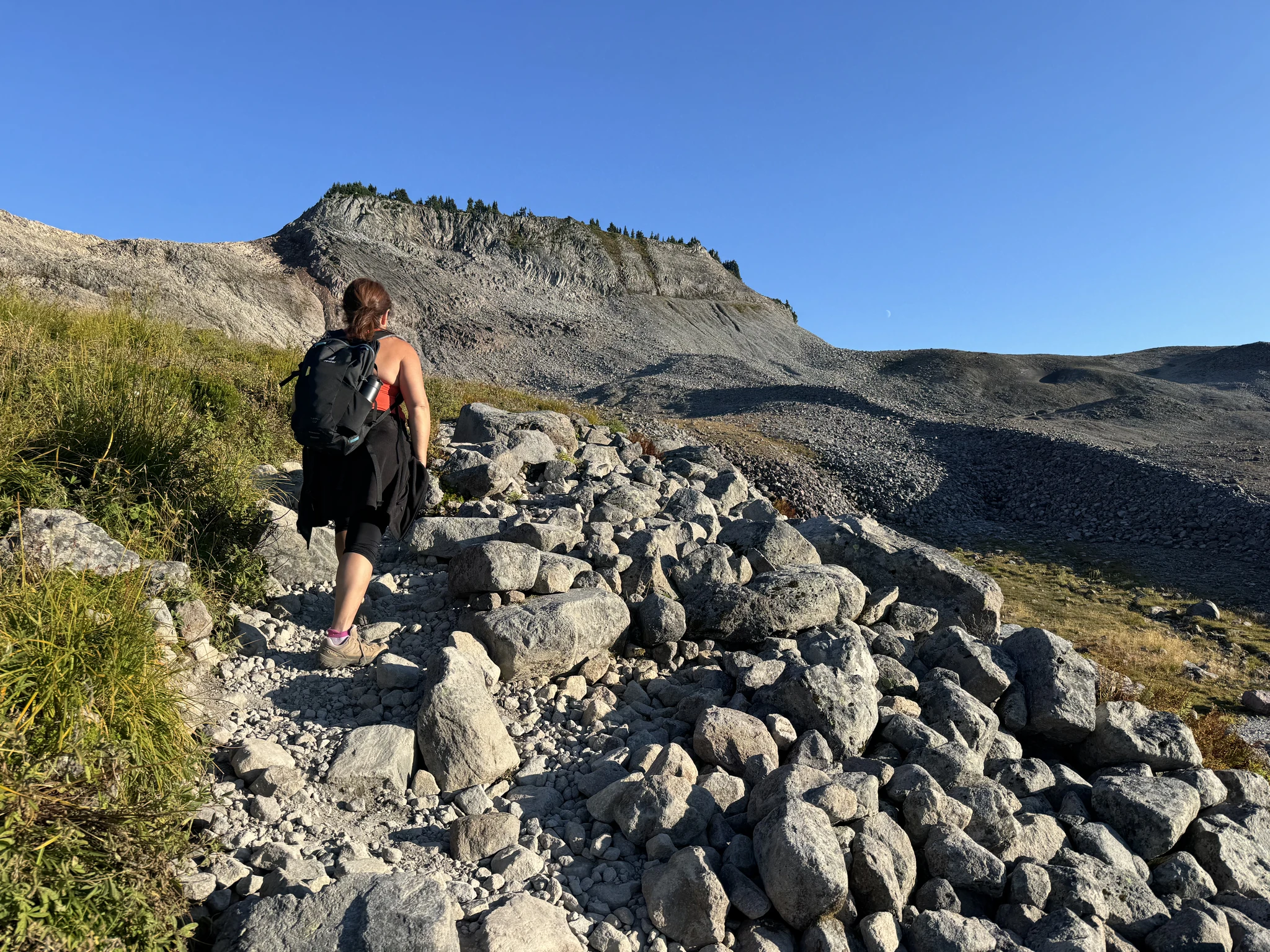
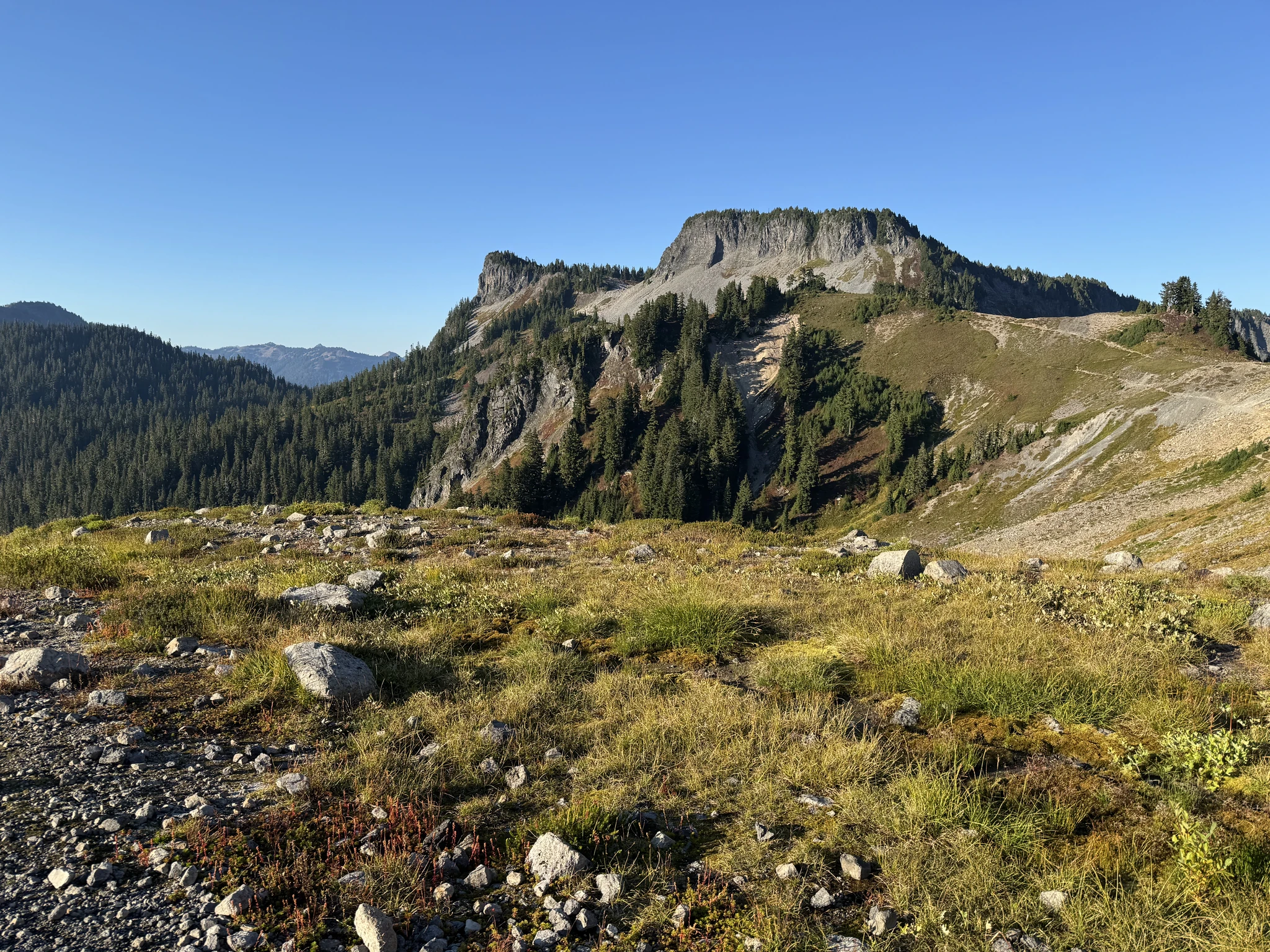
From here the parking lot is in sight.
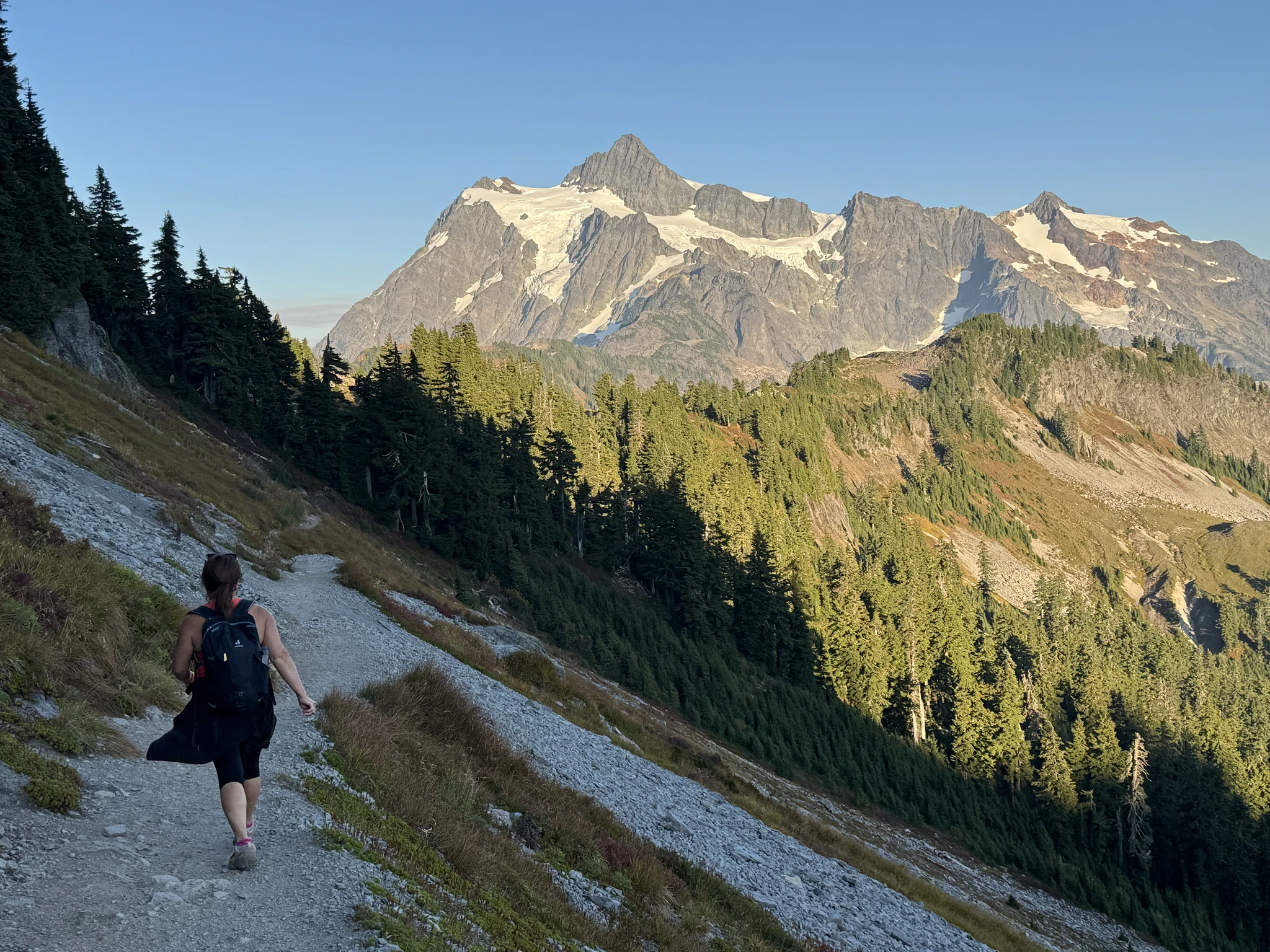
Back at the parking lot, I take a picture of this mountain view with the afternoon light.