Mount Tallac Trail, Lake Tahoe
August 31, 2026
All Trails page for this hike. Other site links about this trail: Visit Lake Tahoe page, Tahoe Trail Guide page, West Coast Wayfarers page.
This hike is around 10 miles in length; approximately 5 miles in and 5 miles back. The pages linked above seem to disagree on length; All Trails says it is 9.5 miles round trip.
The elevation gain is 3,284 feet, you are 9,735 feet from sea level at the top. We found the hike challenging for our group, but younger hikers were moving along a lot more quickly. As it was, we were a slower and ended up finishing up the trail by flashlight via our phones.
I took around 340 pictures and edited them down to 90, which is still a lot for a single web page. You may want to scroll past the photos that you find less interesting.
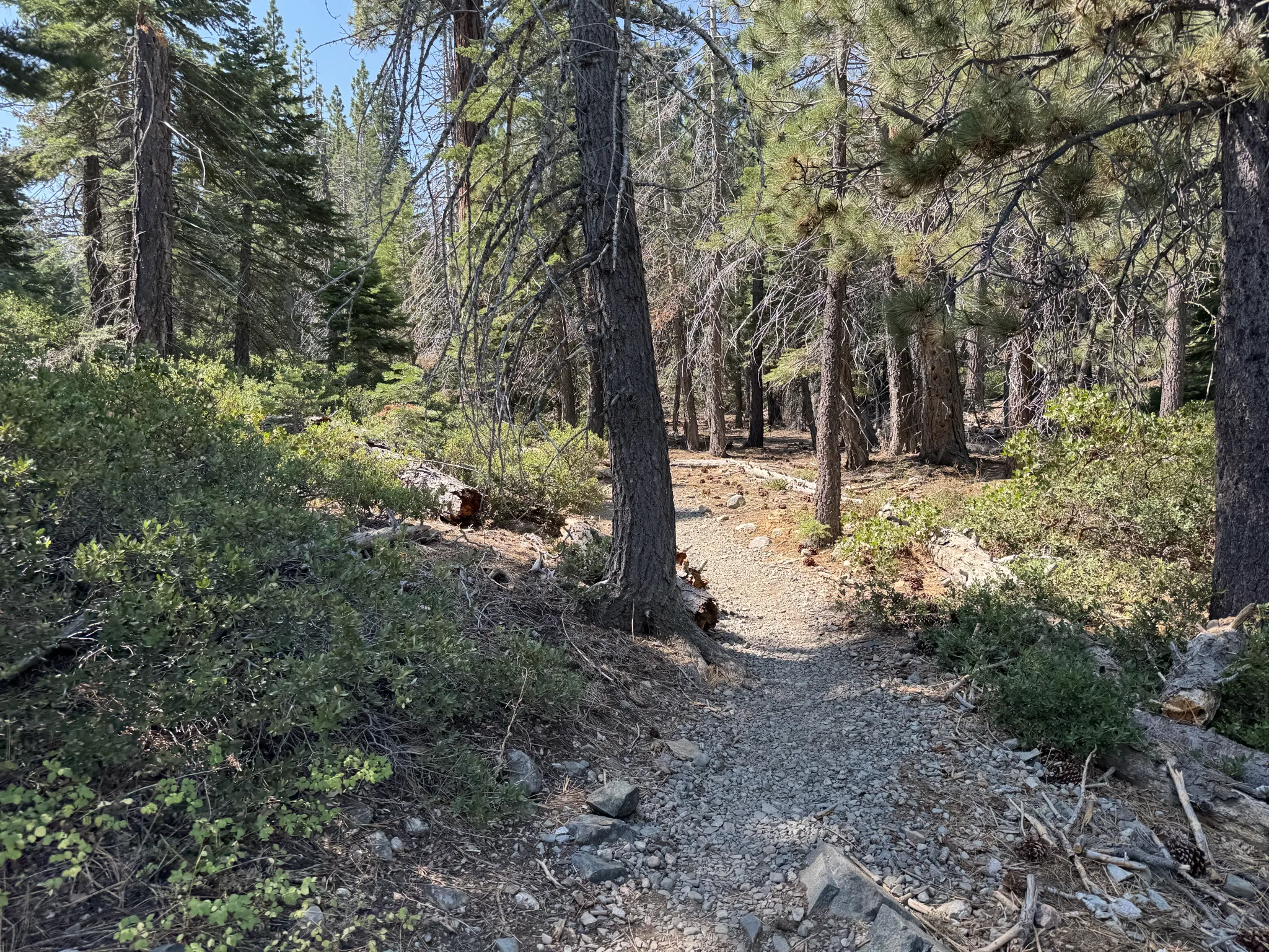
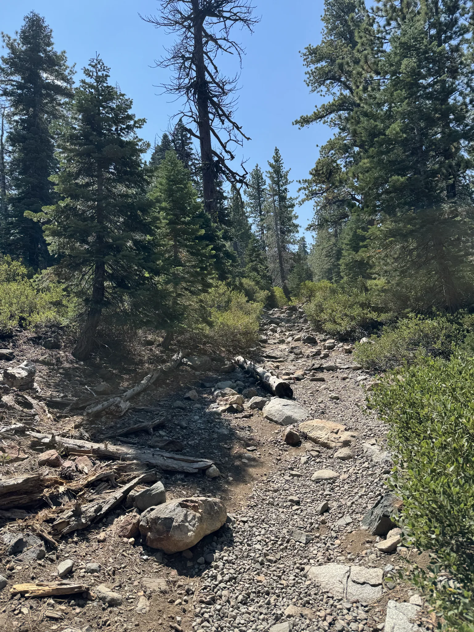
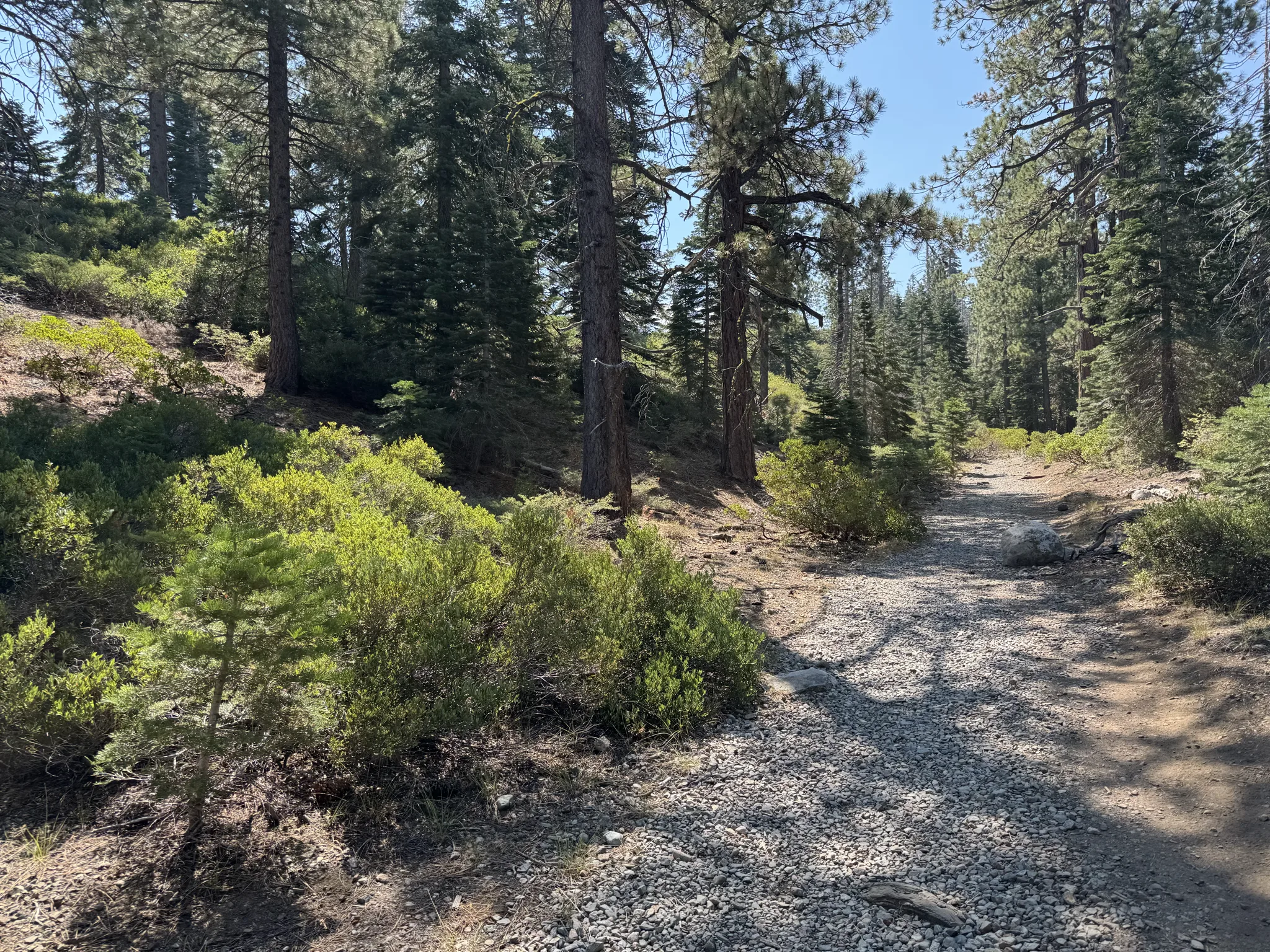
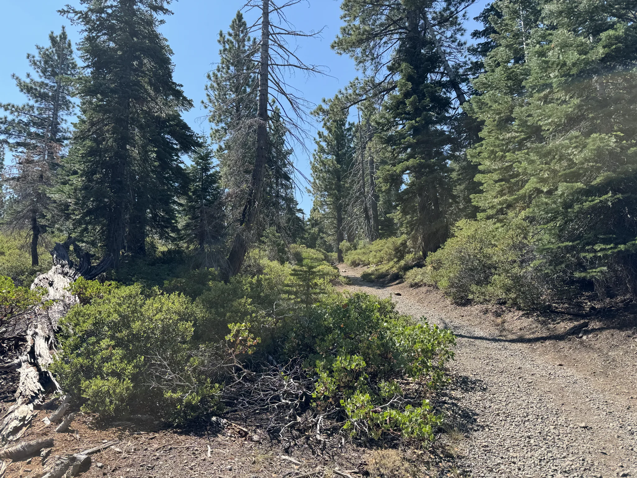
Following are some photos from the early part of the trail.
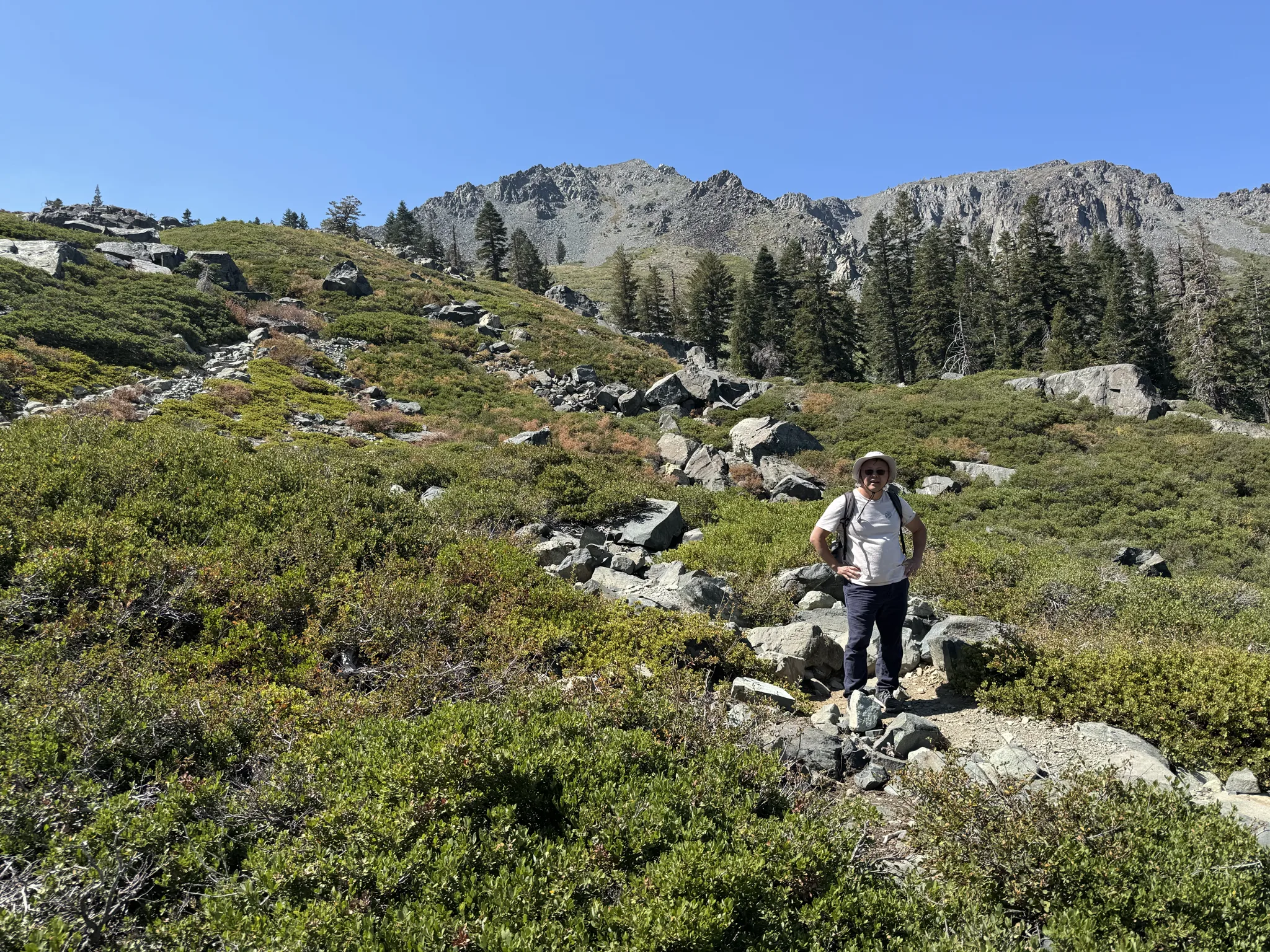
The top of this mountain range is our planned destination.
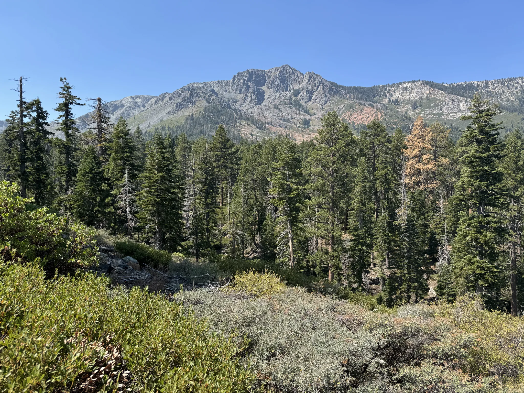
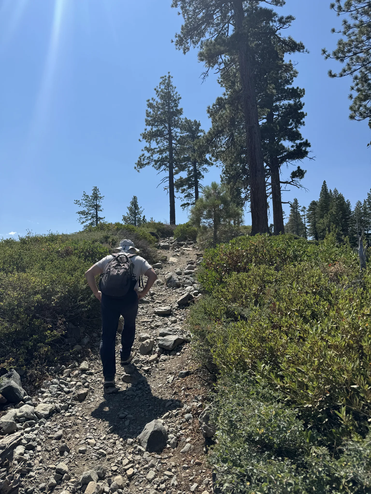
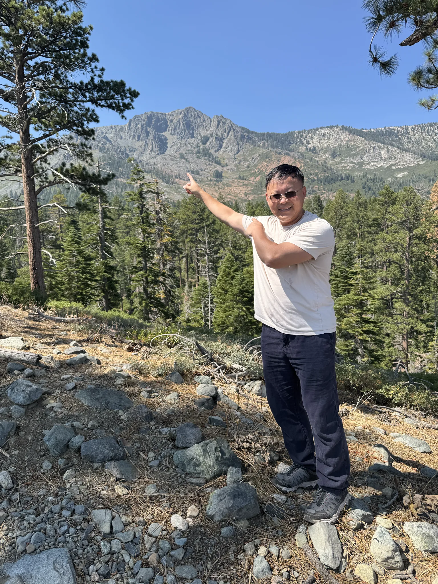
Steve points to our destination.
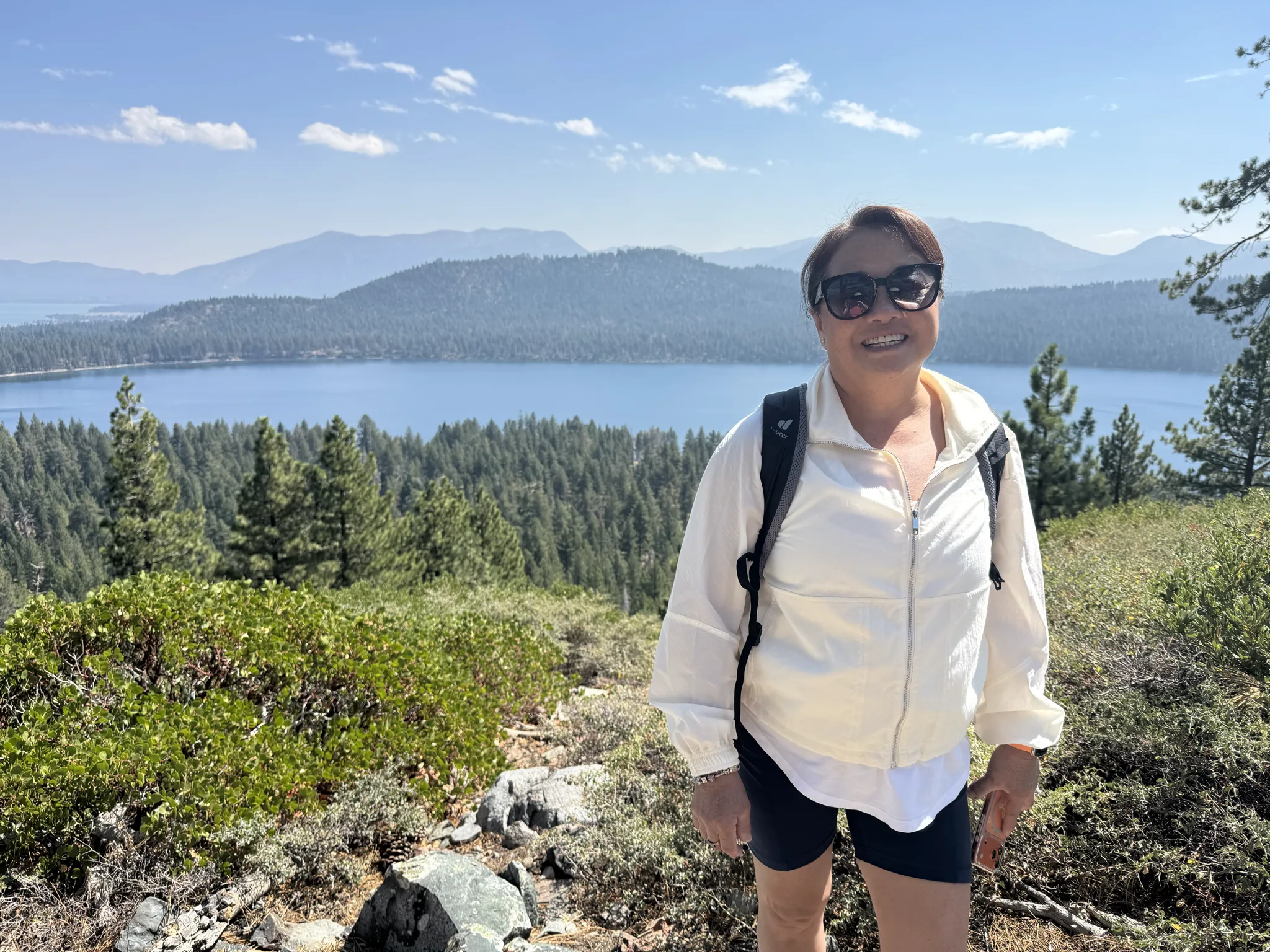
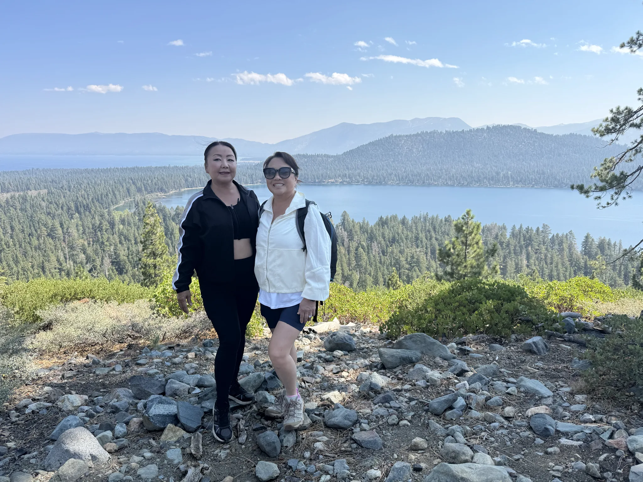
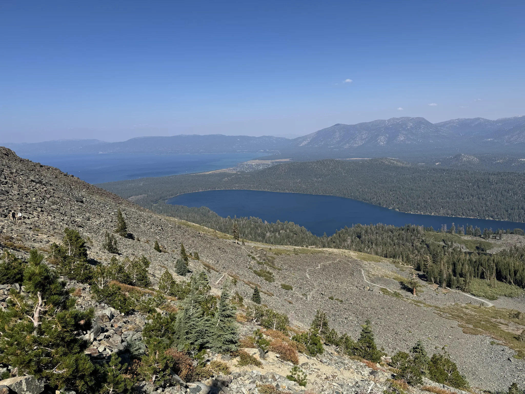
Ying and Mai pose for some photos. We are above Fallen Leaf Lake; which is the first of three lakes on this hike. Unlike this one, the other two are very small.
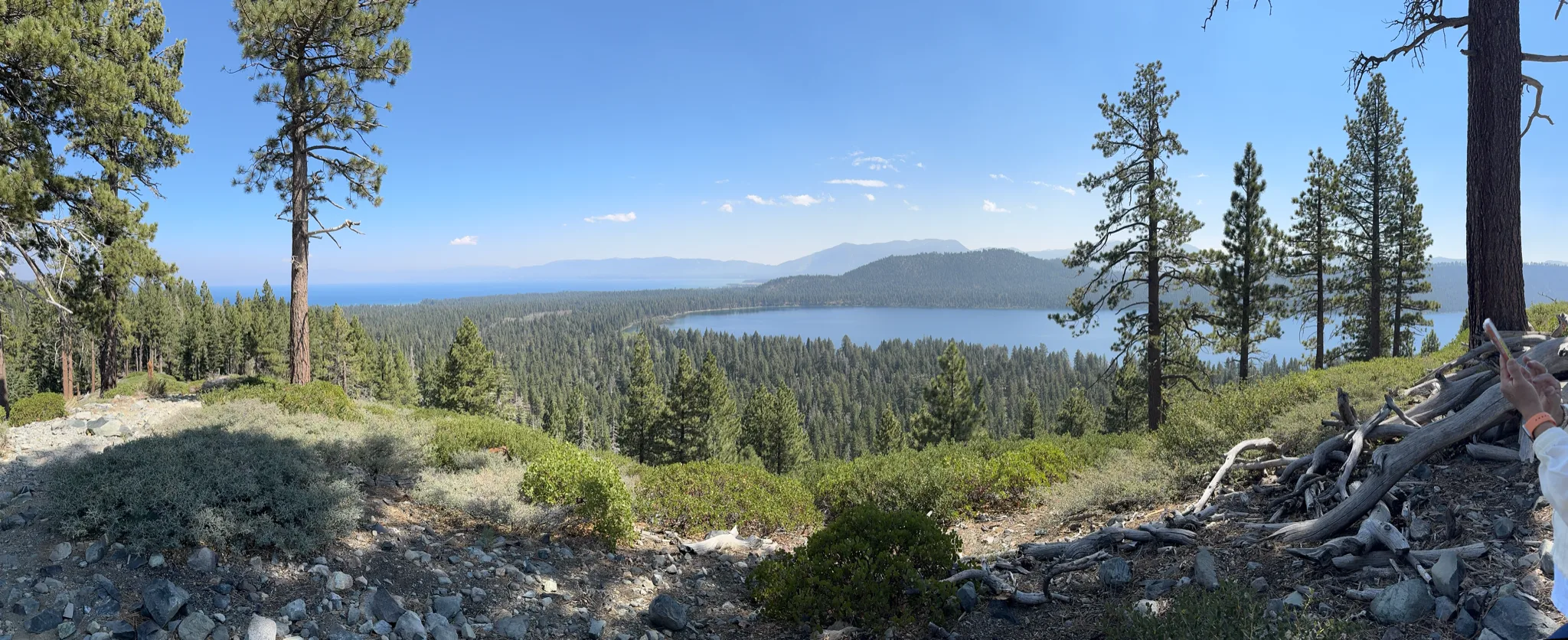
Ying and Mai showed me the Pano feature on the iPhone which stiches a series of photos together to give you a panoramic view. I try one here to capture our view above Fallen Leaf Lake.
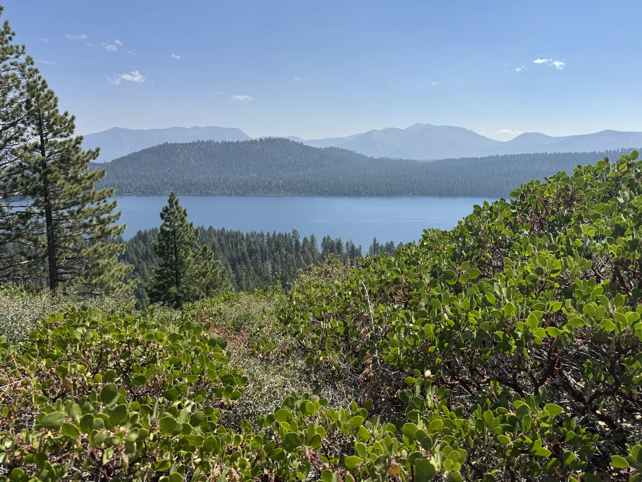
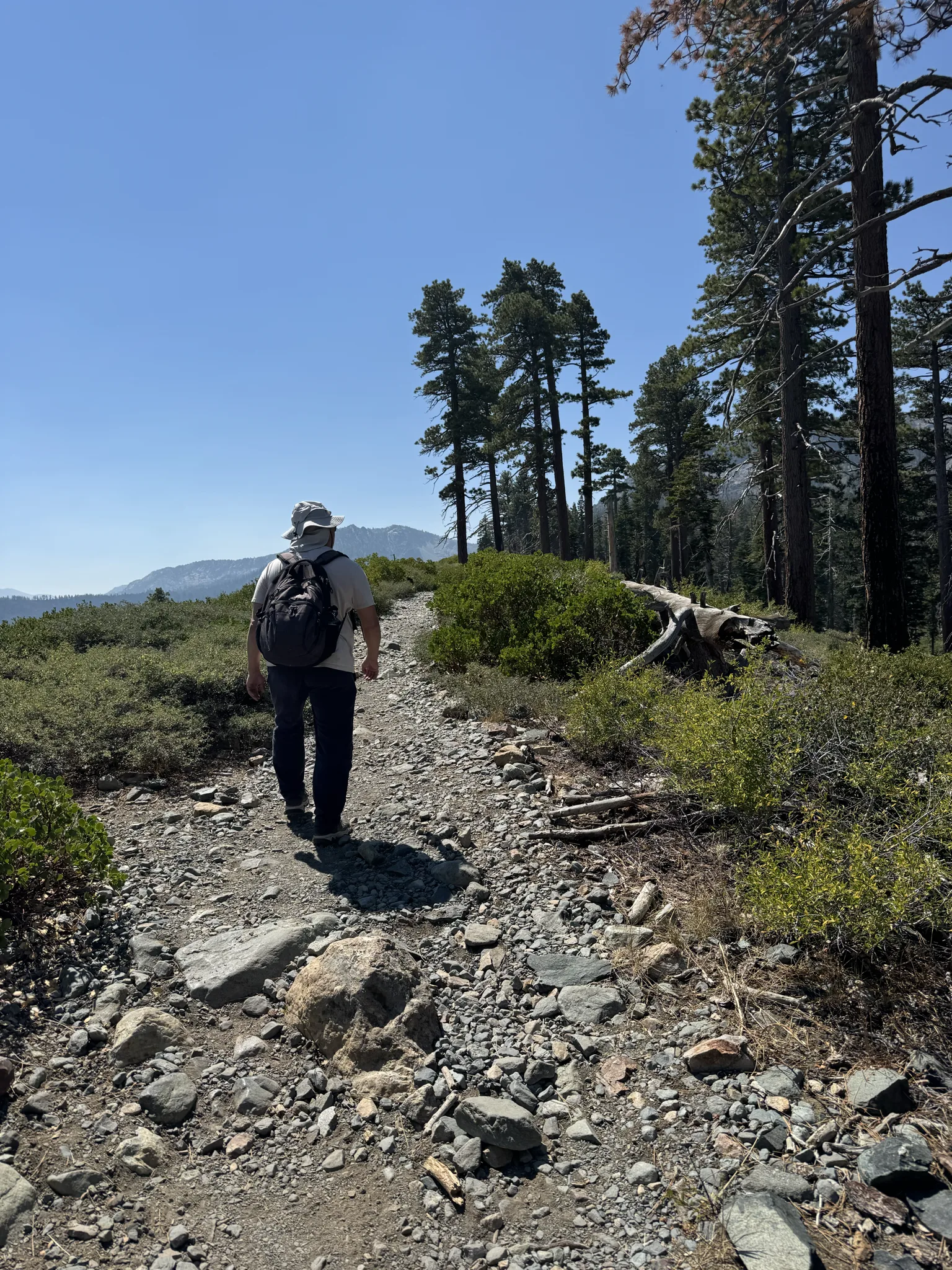
We continue on the hike alongside Fallen Leaf Lake below us.
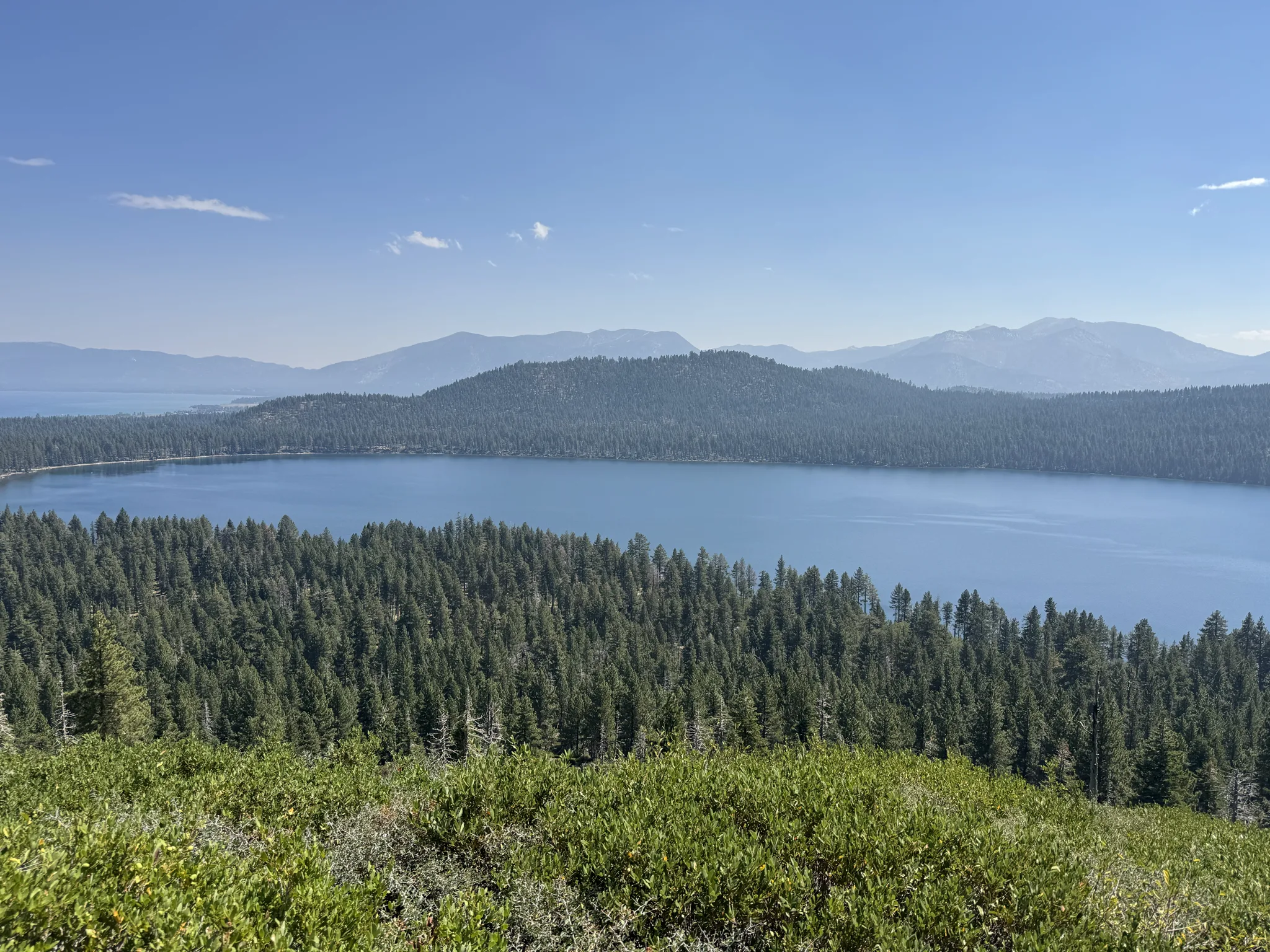
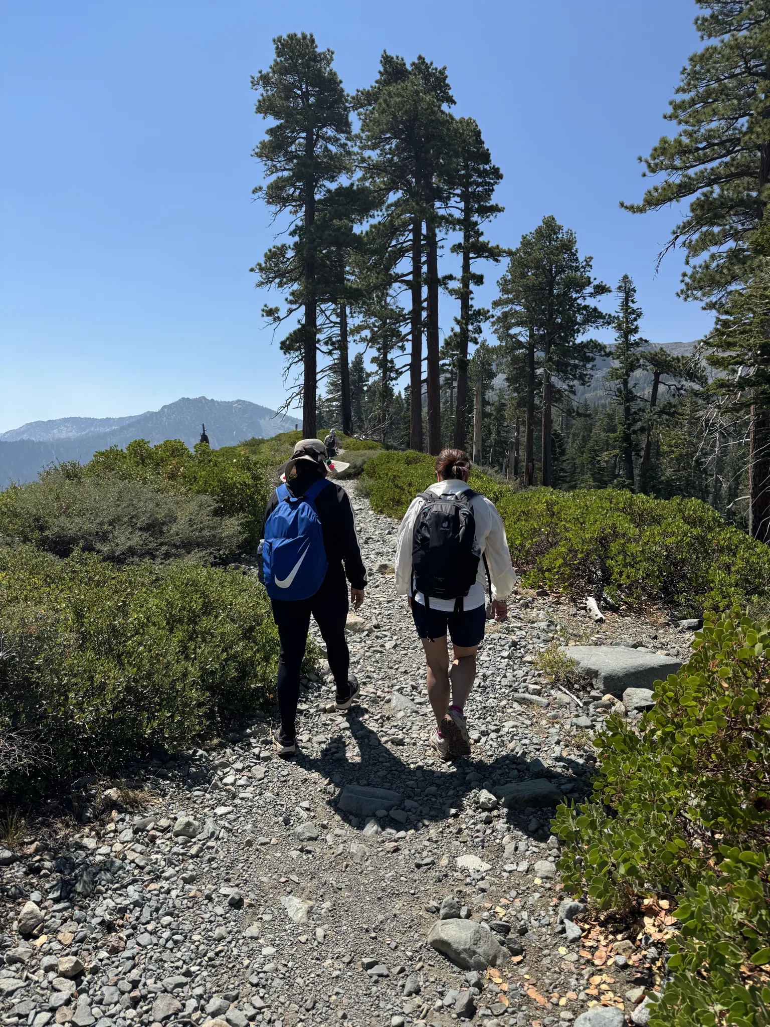
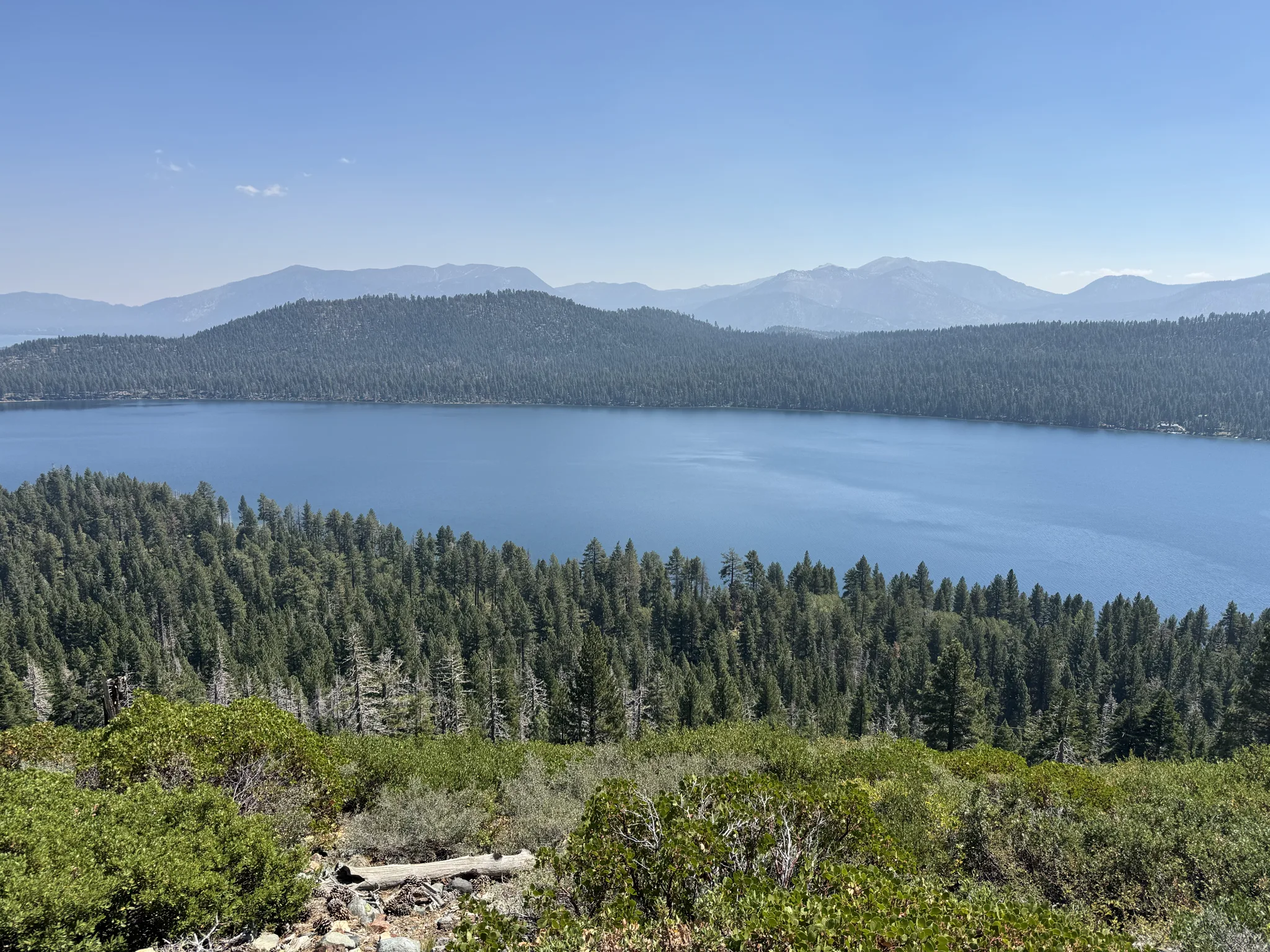
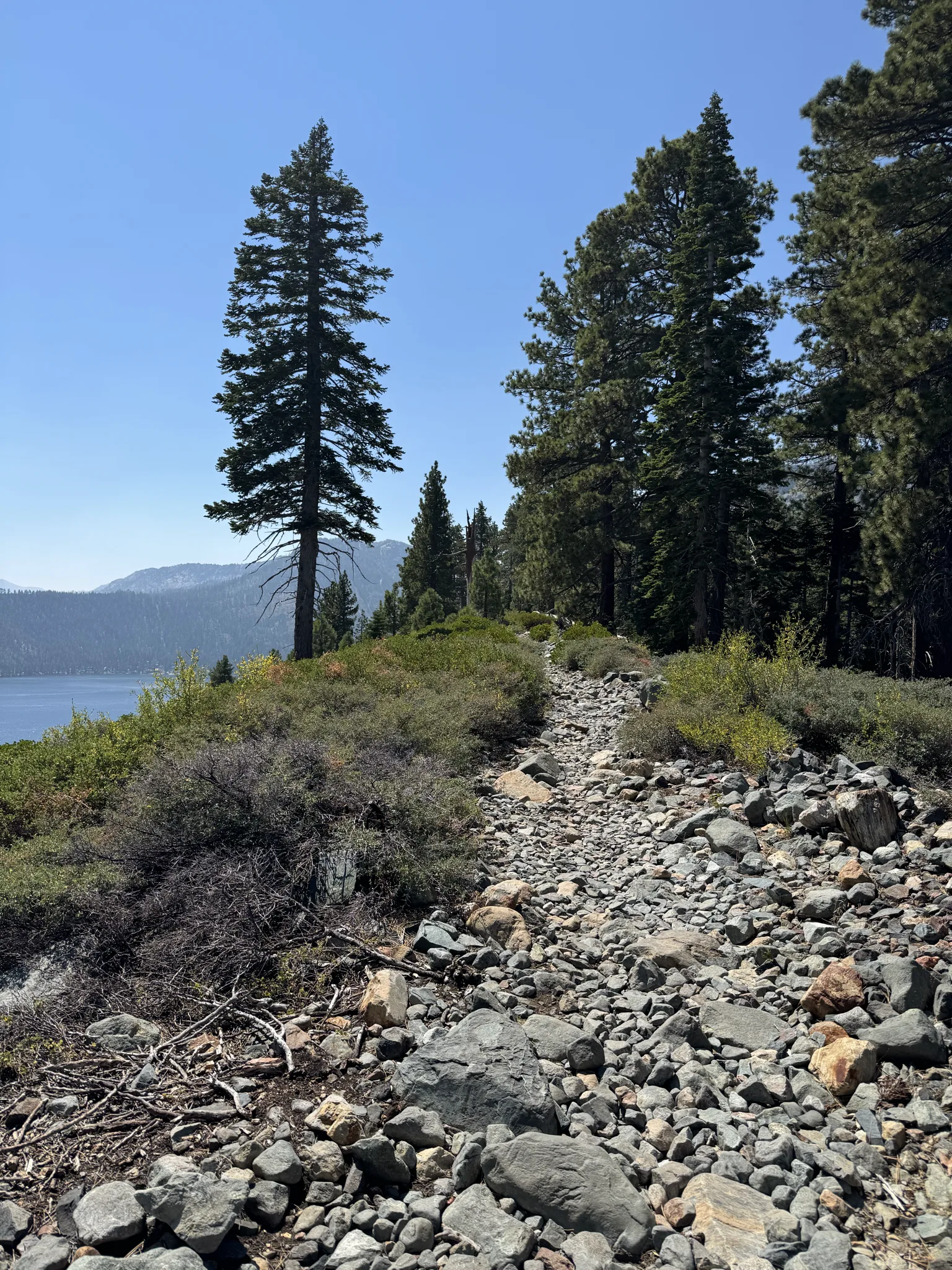

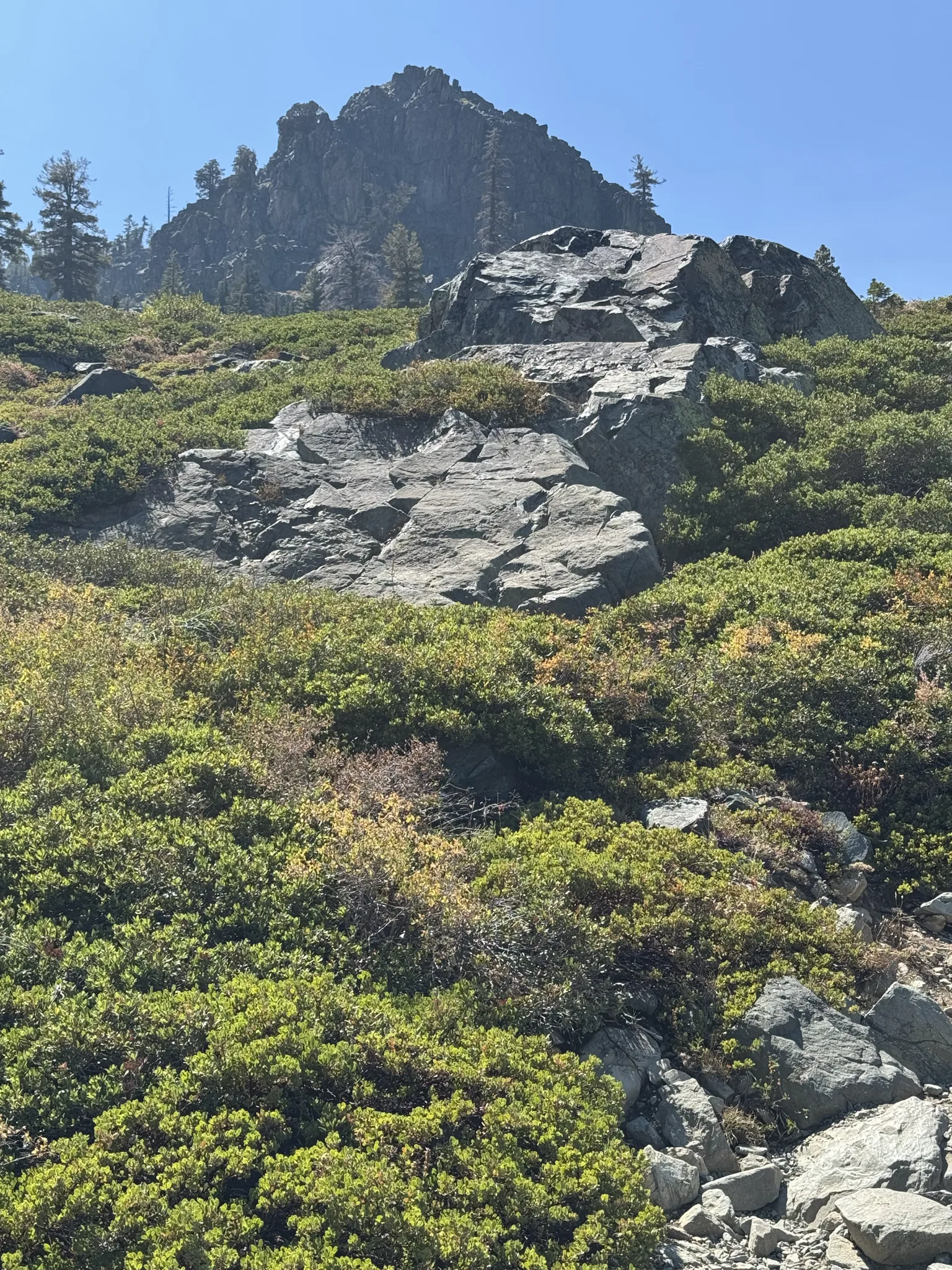
I’m a sucker for any large rock of which there are plenty along this hike.
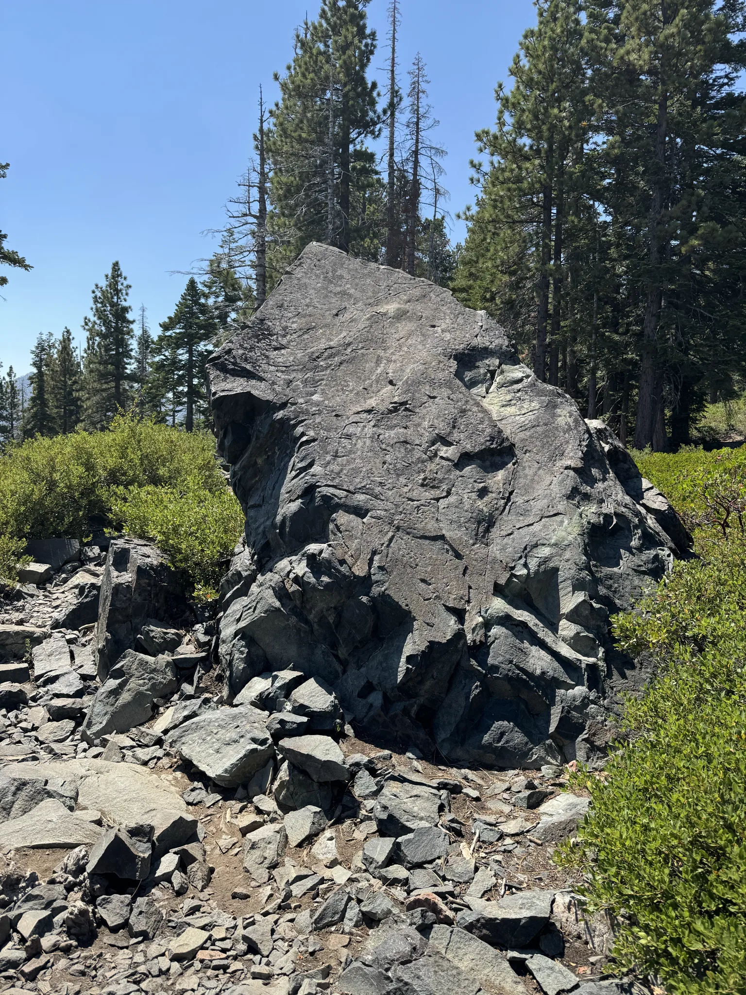
This picture highlights the vegetation in the area.
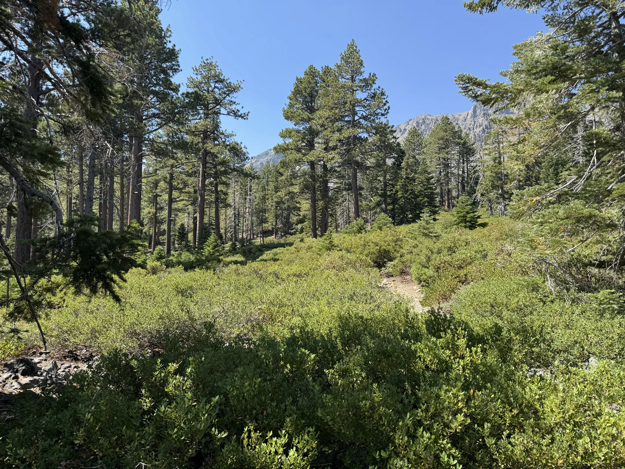
One of many stops to take a break from the hiking. We do a lot of uphill on this hike.
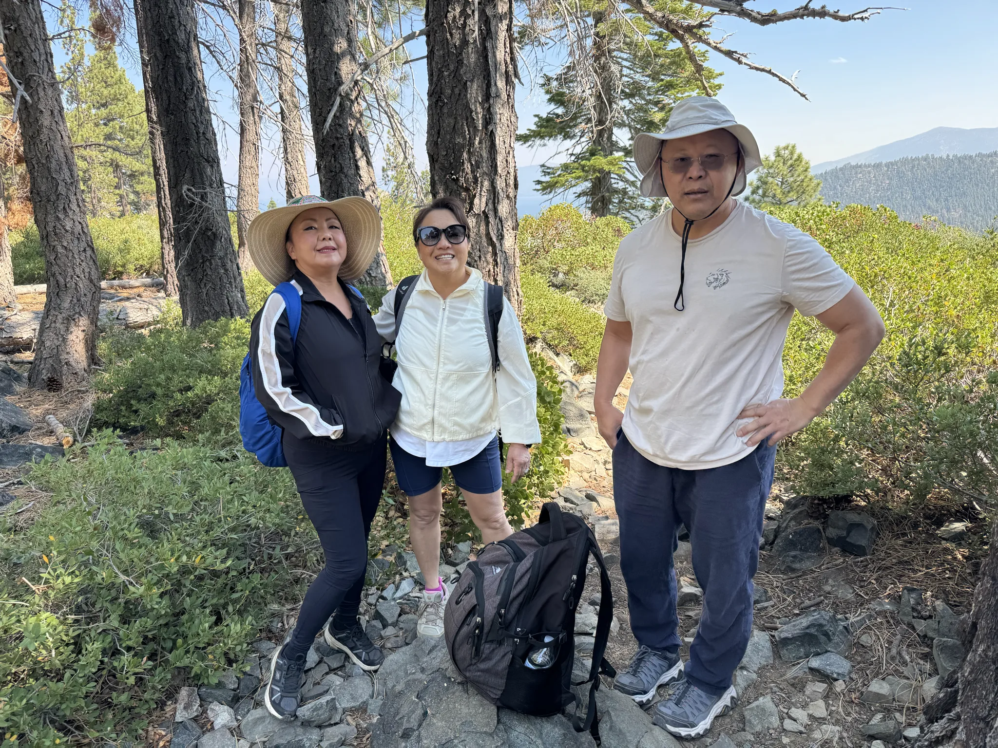
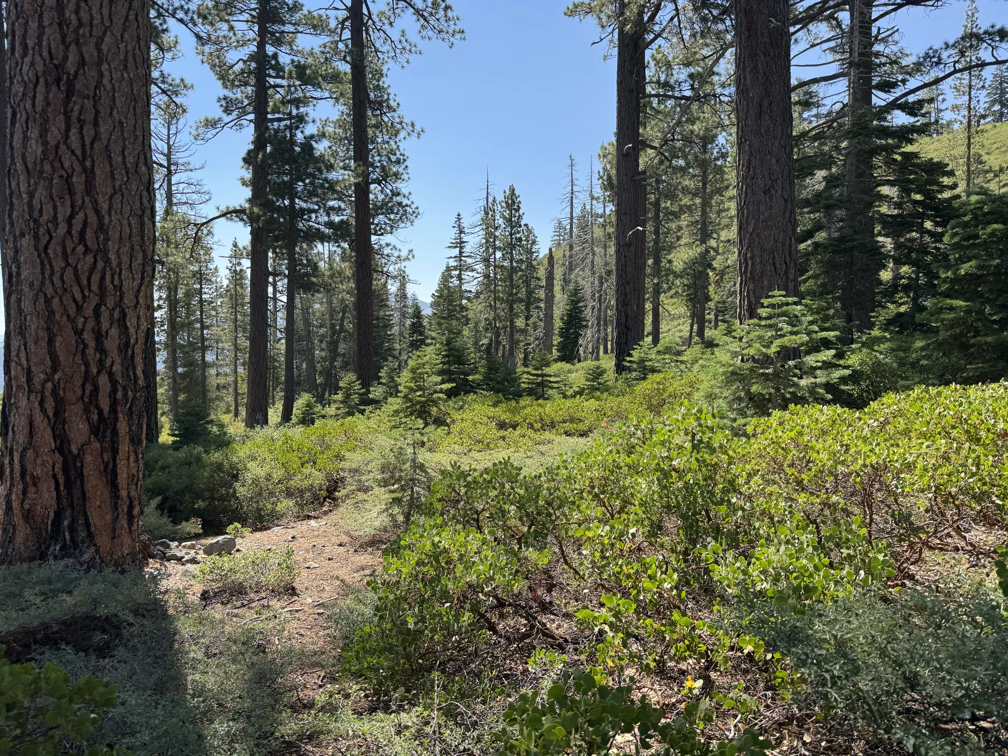
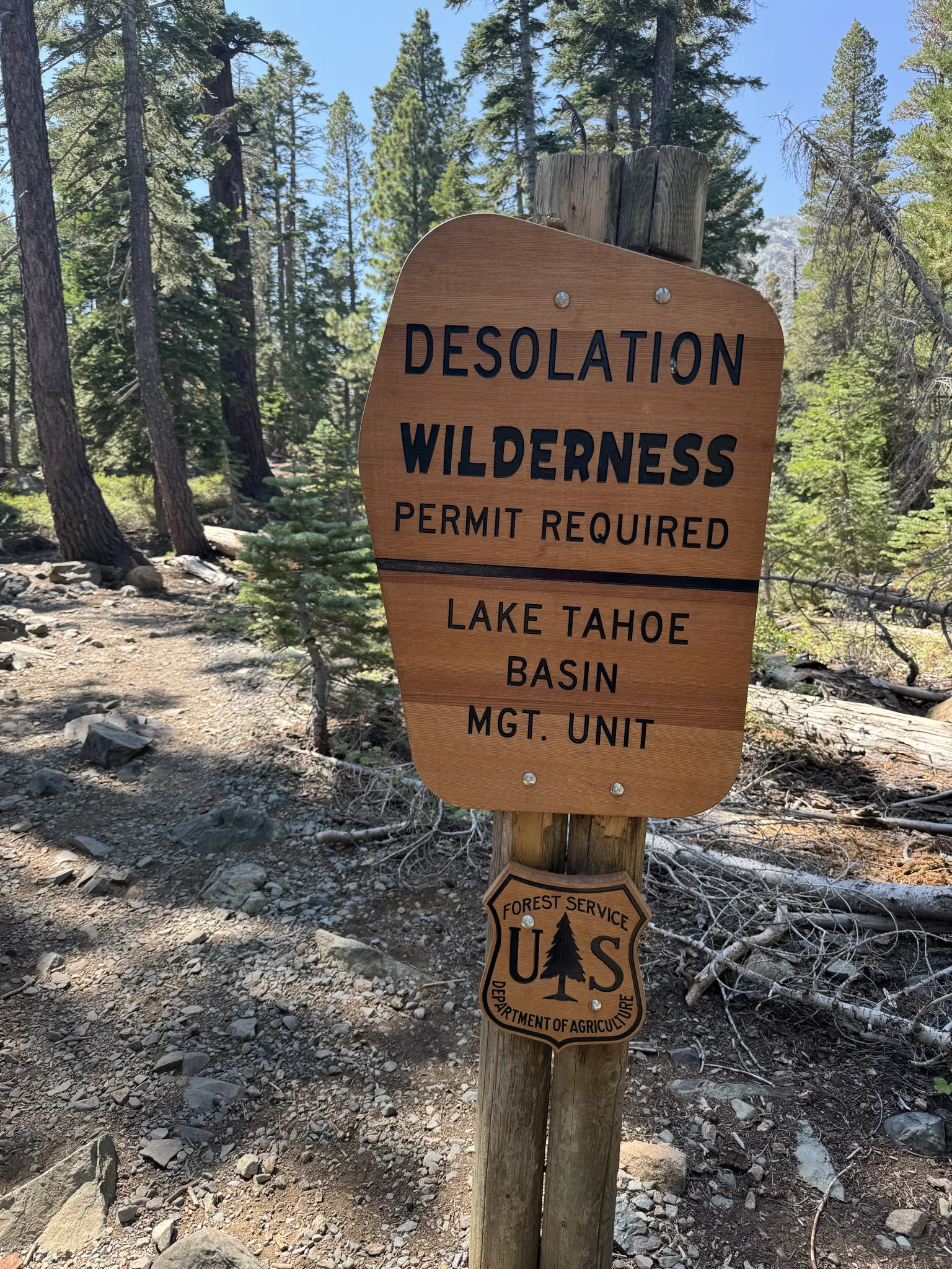
A sign identifying that we are in “Desolation Wilderness”. The permit is simply a card you fill in at the trailhead. You leave part of it in the box and the rest is a tag someone on the trip attaches to their backpack.
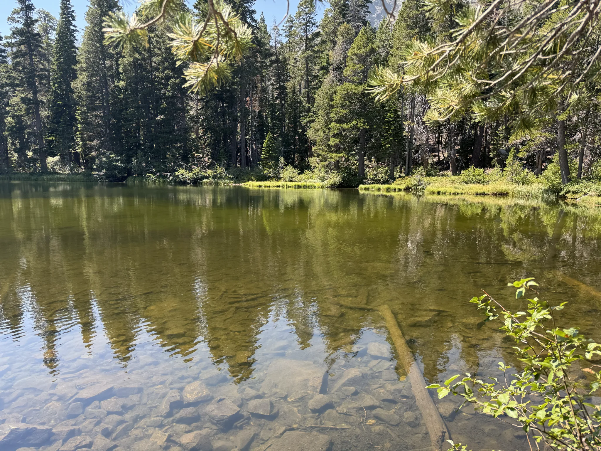
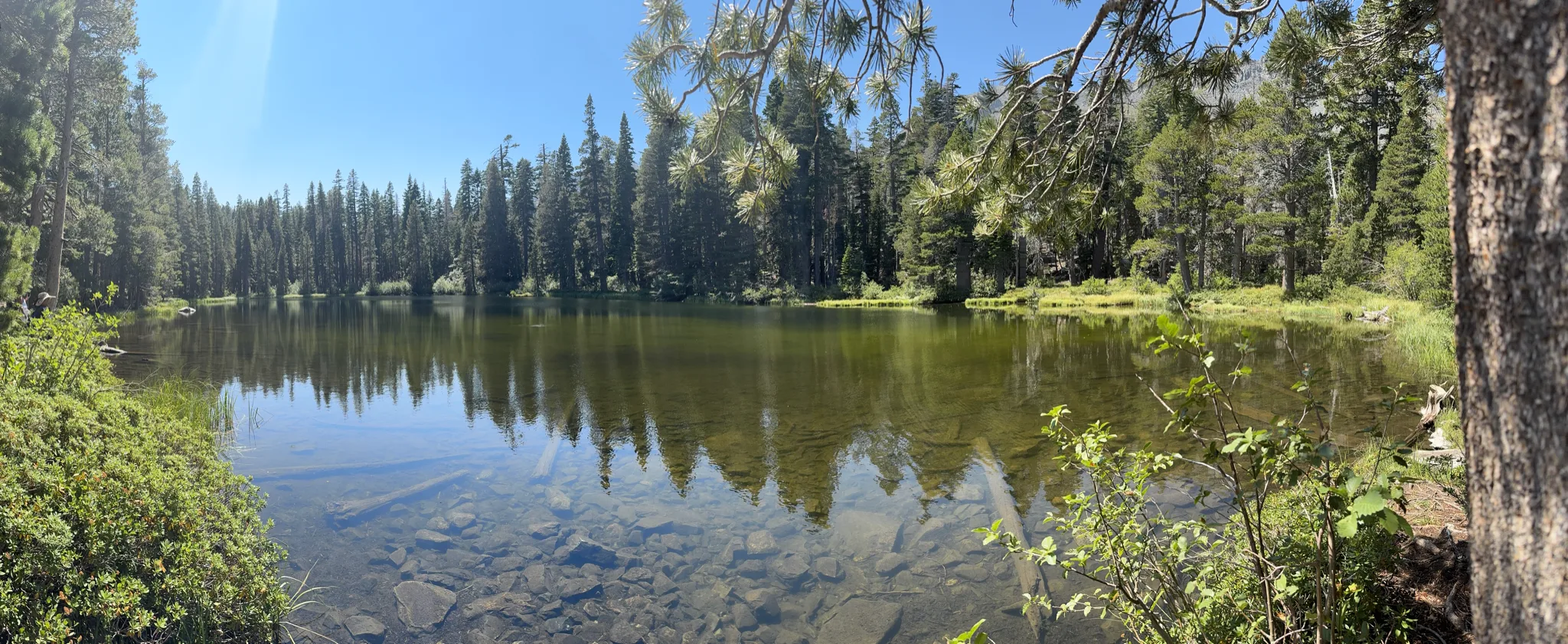
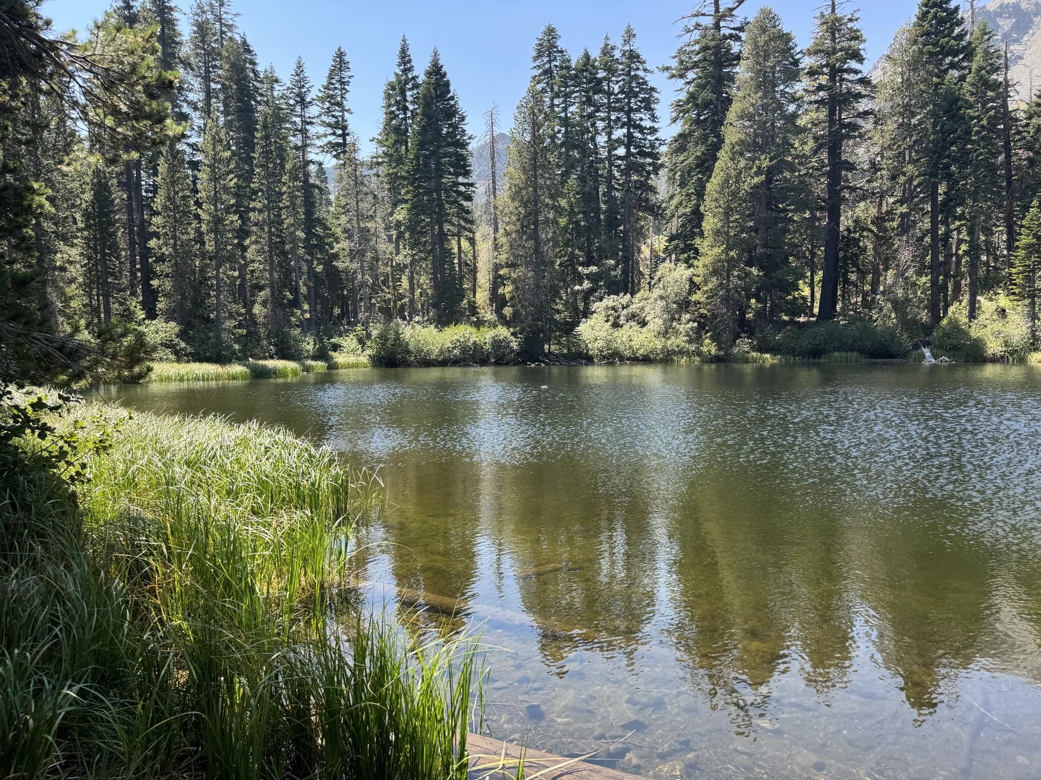
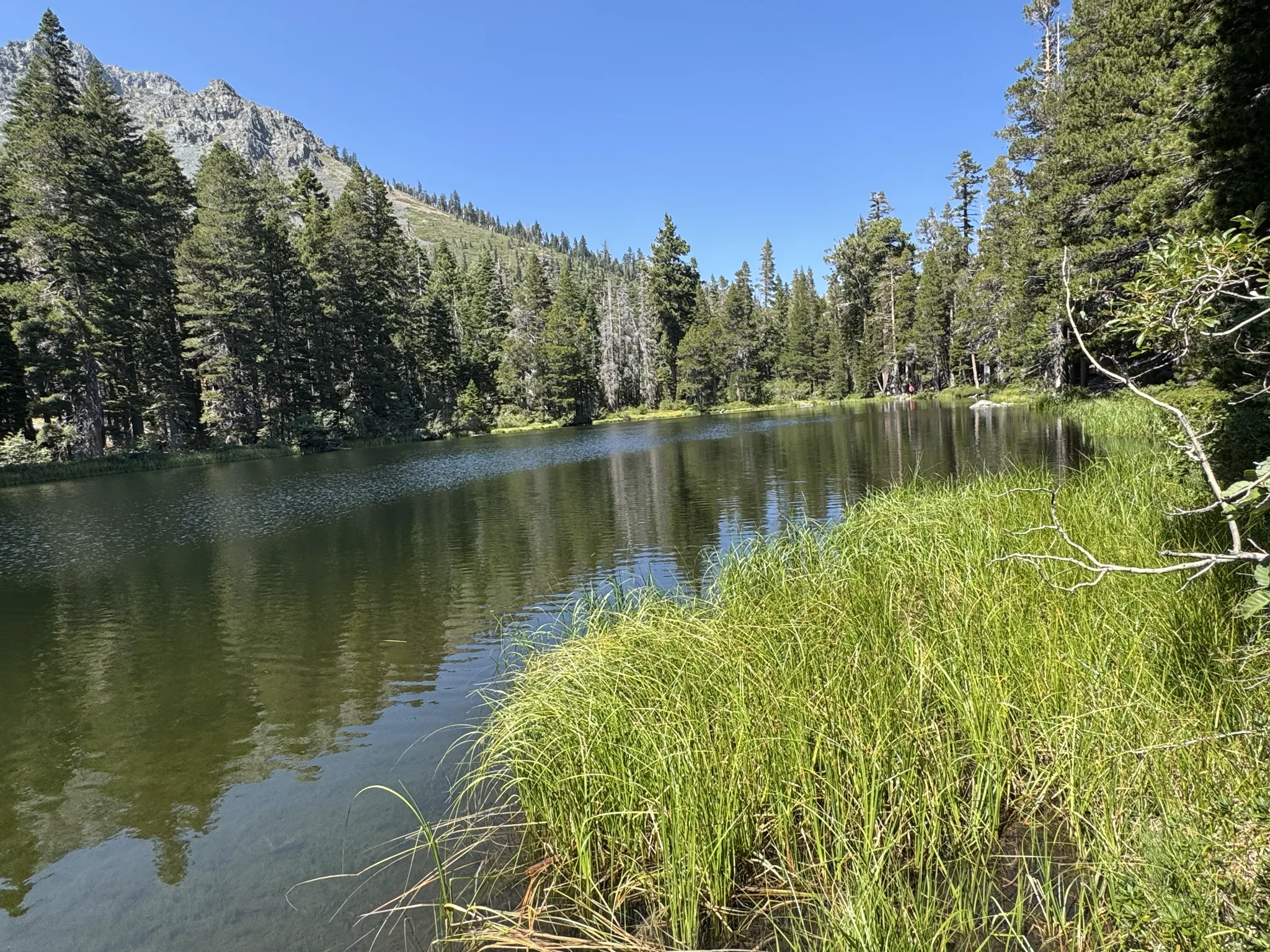
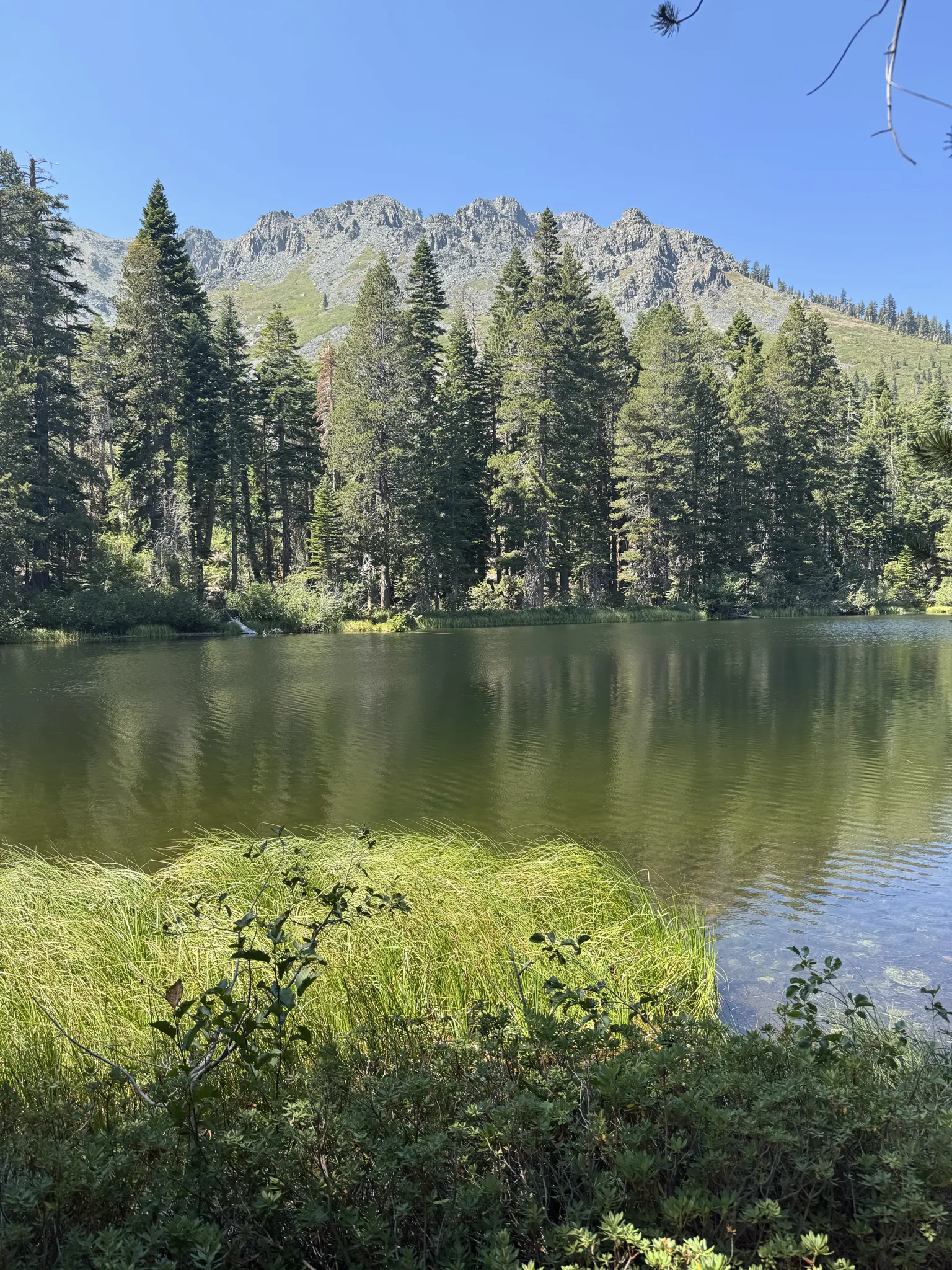
This is Floating Island Lake.
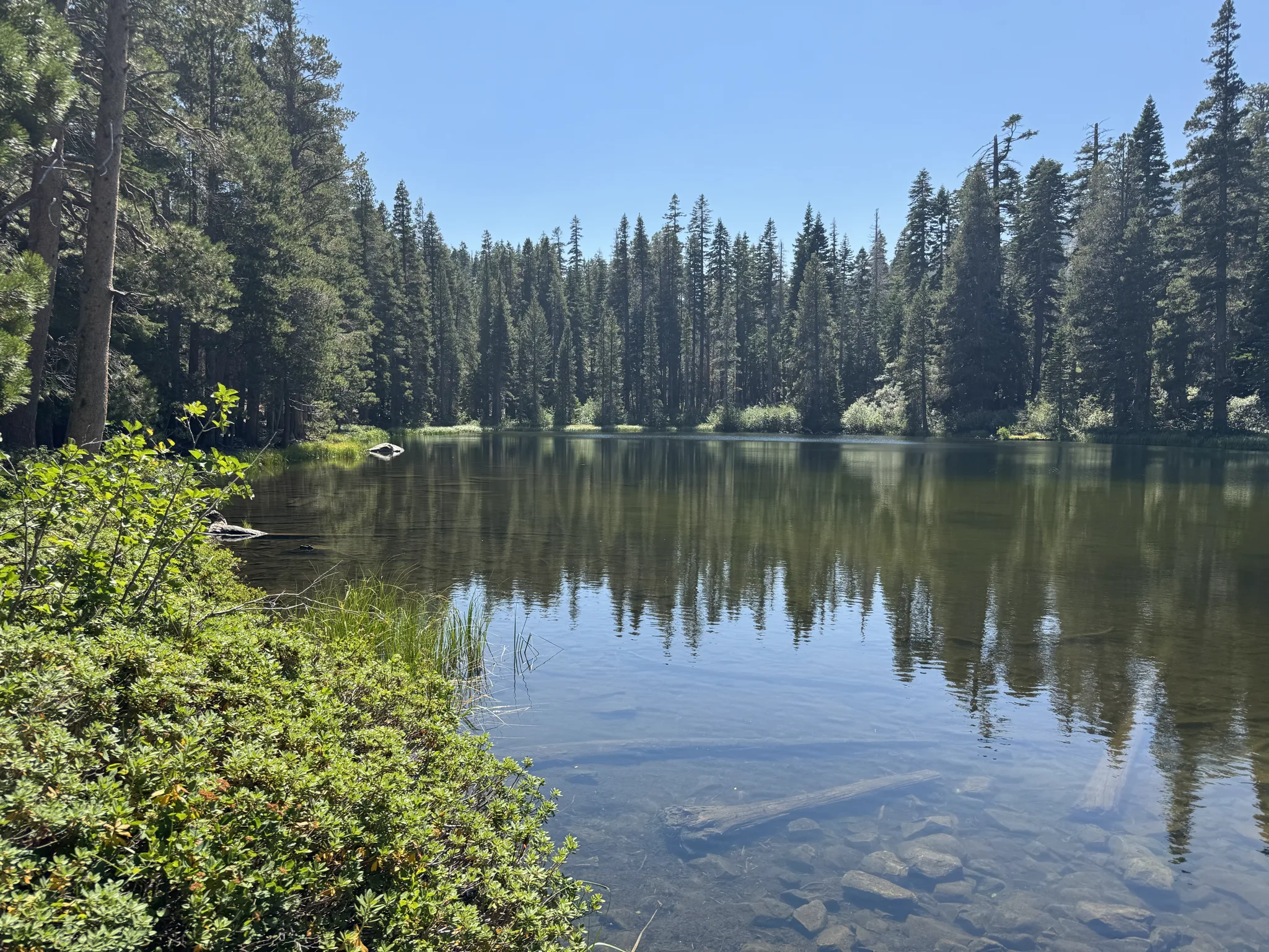
I try doing the Pano feature to get the full lake in a single picture.
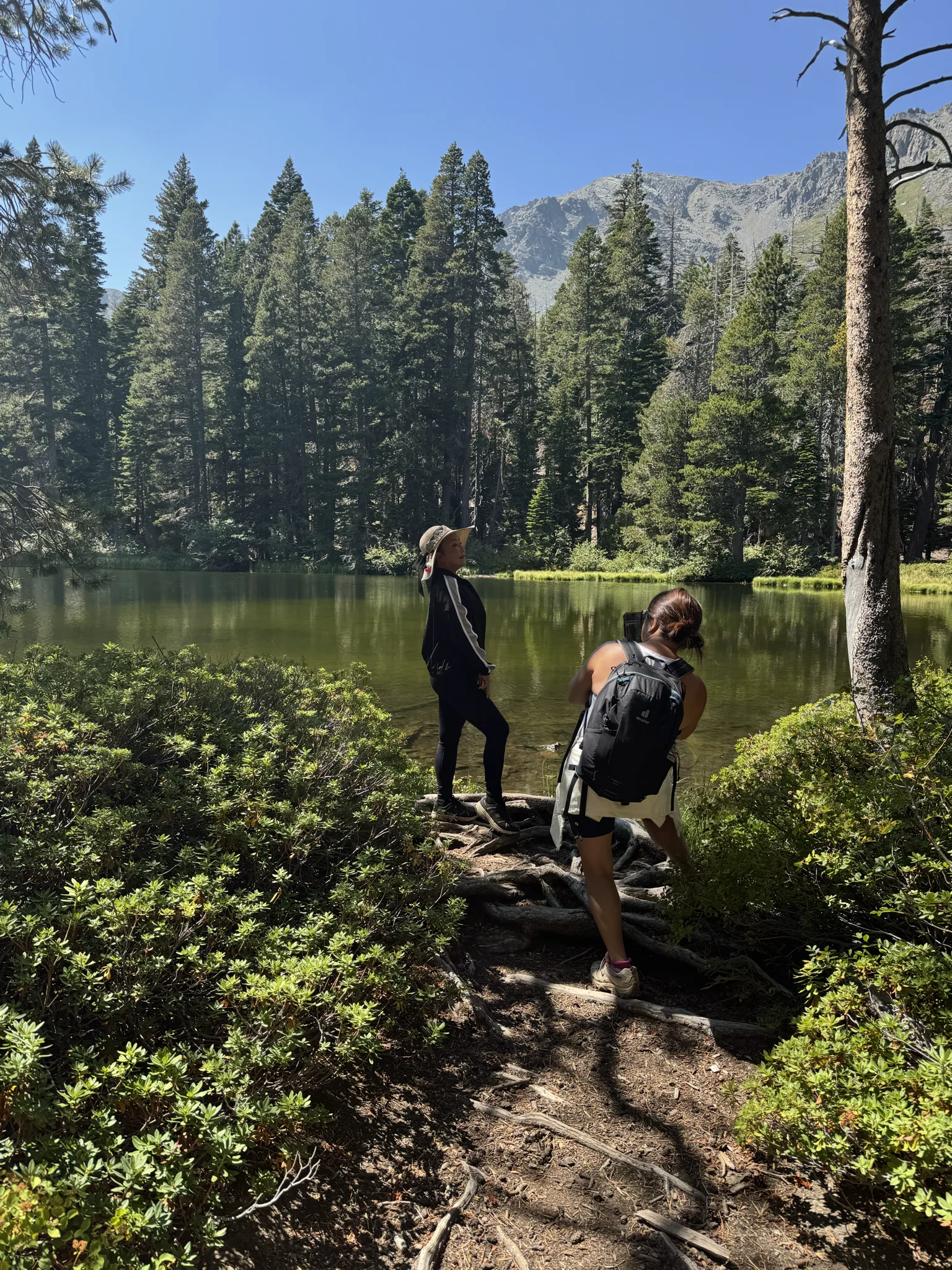
Mai poses for pictures.
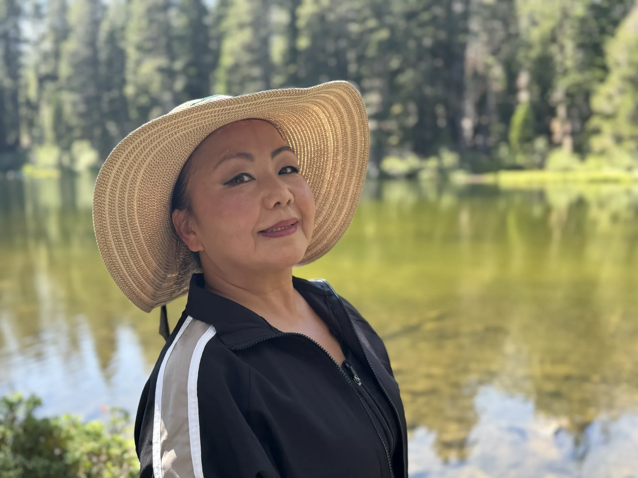
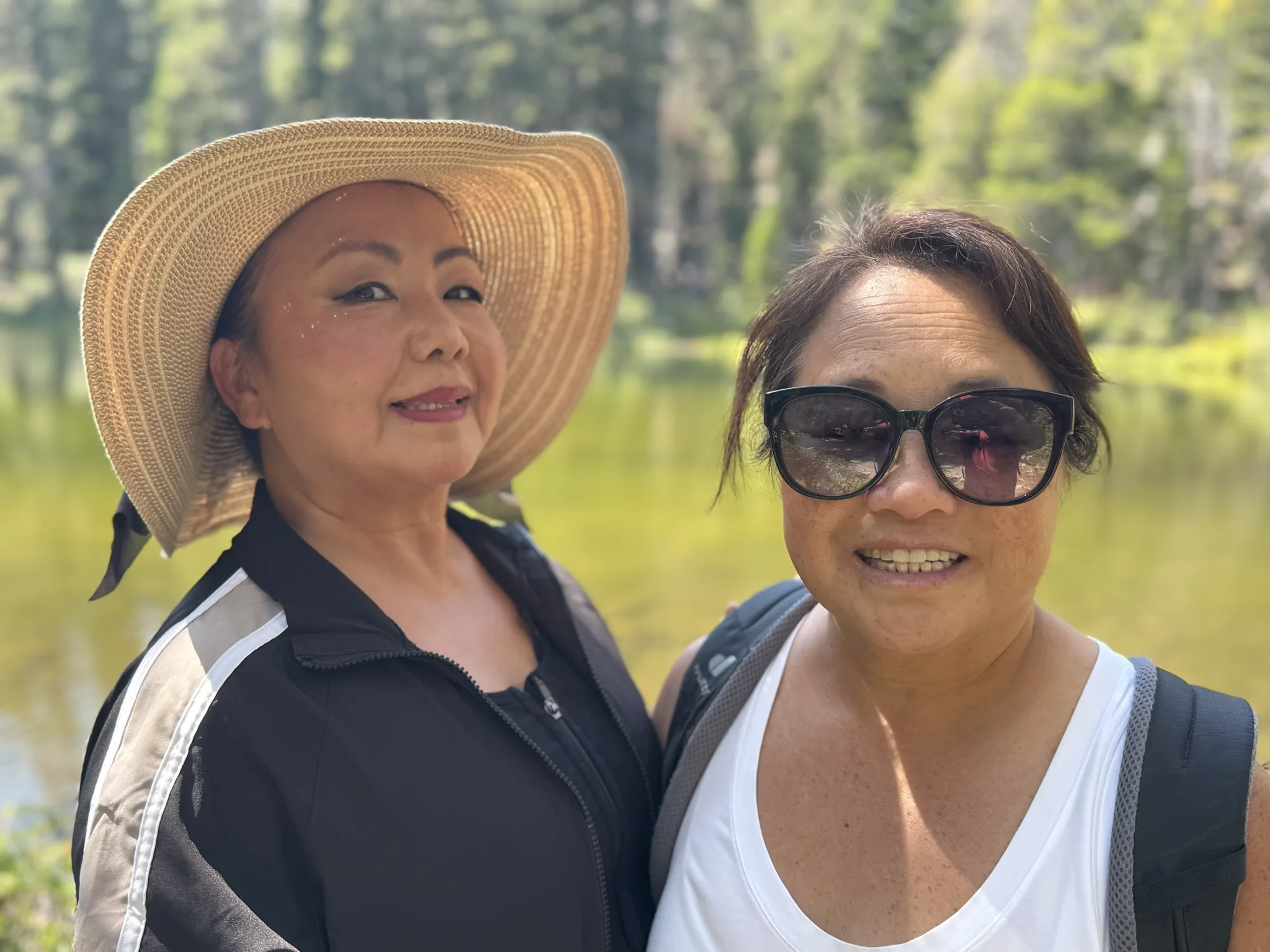
Mai and Ying together.
Steve is ready to move on. We have a lot of hiking to do still if we are to reach the top.
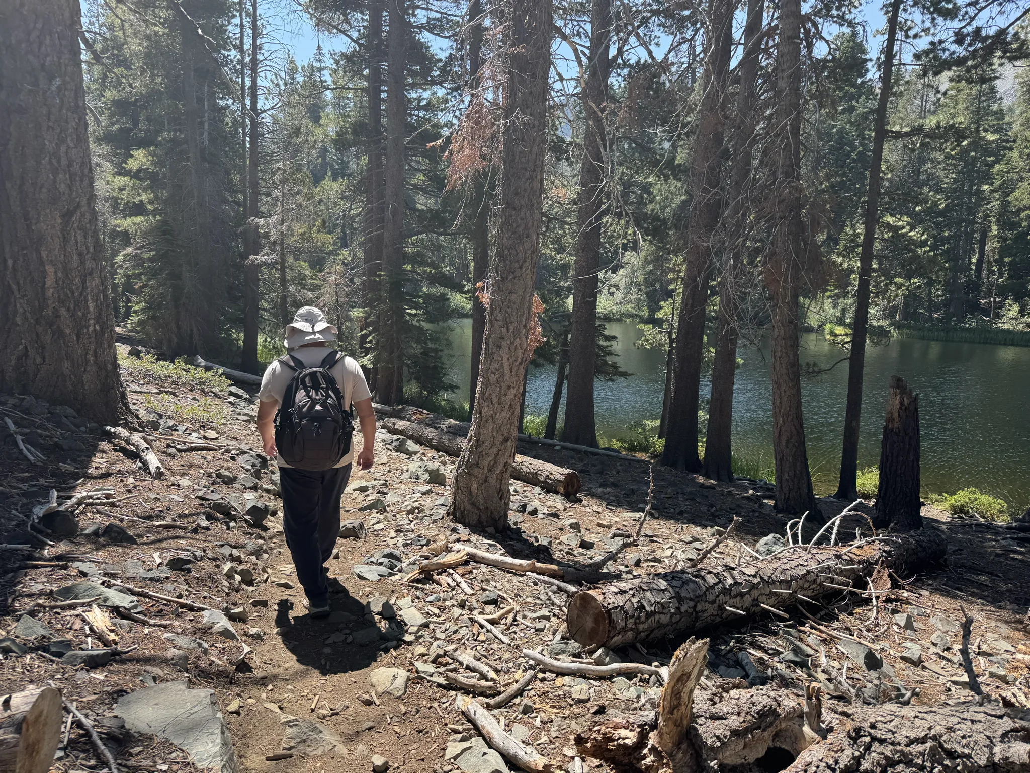
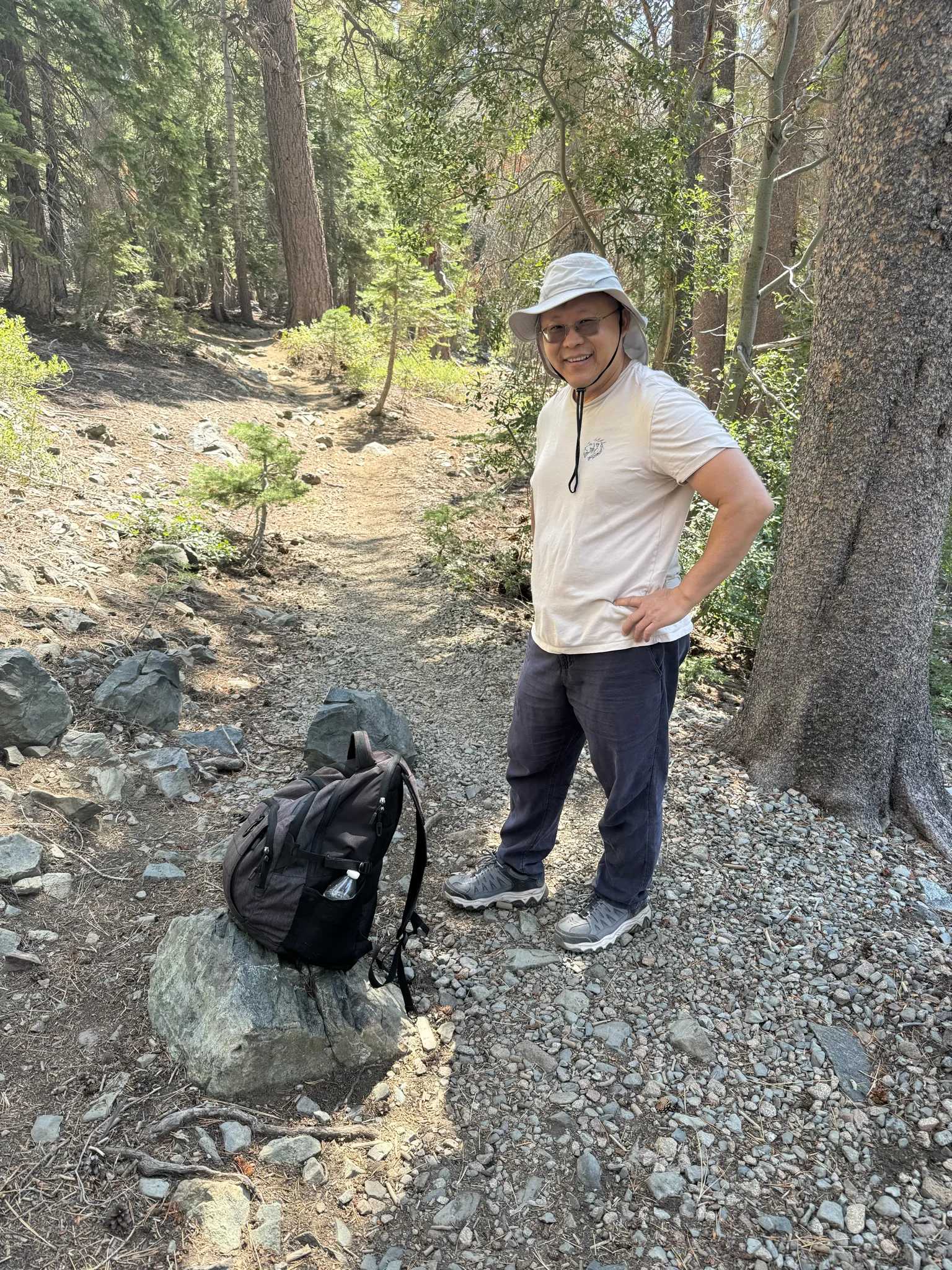
But we can’t help but take more photos around the lake.
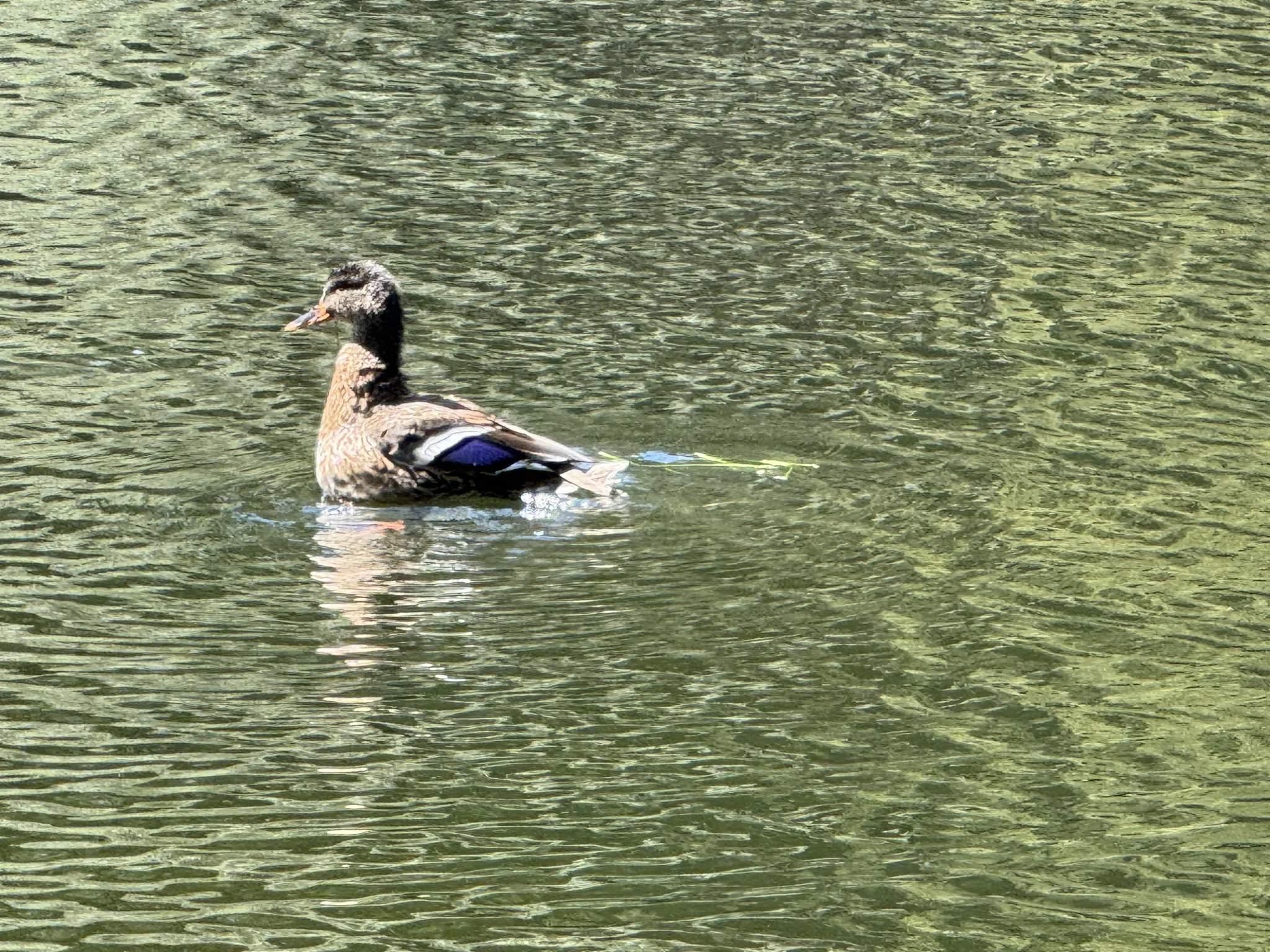
Zoomed in to take a picture of a duck. The image quality isn’t great because of the use of zoom.
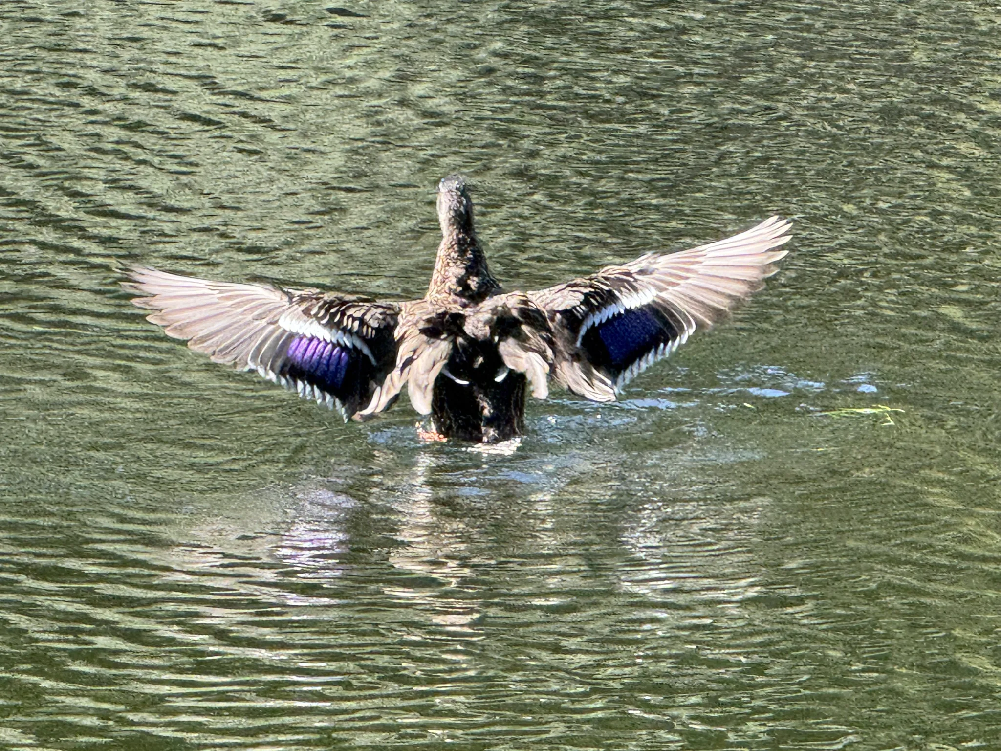
The duck flaps his wings and I get a nice view of the colorful wings in black, white, and purple.
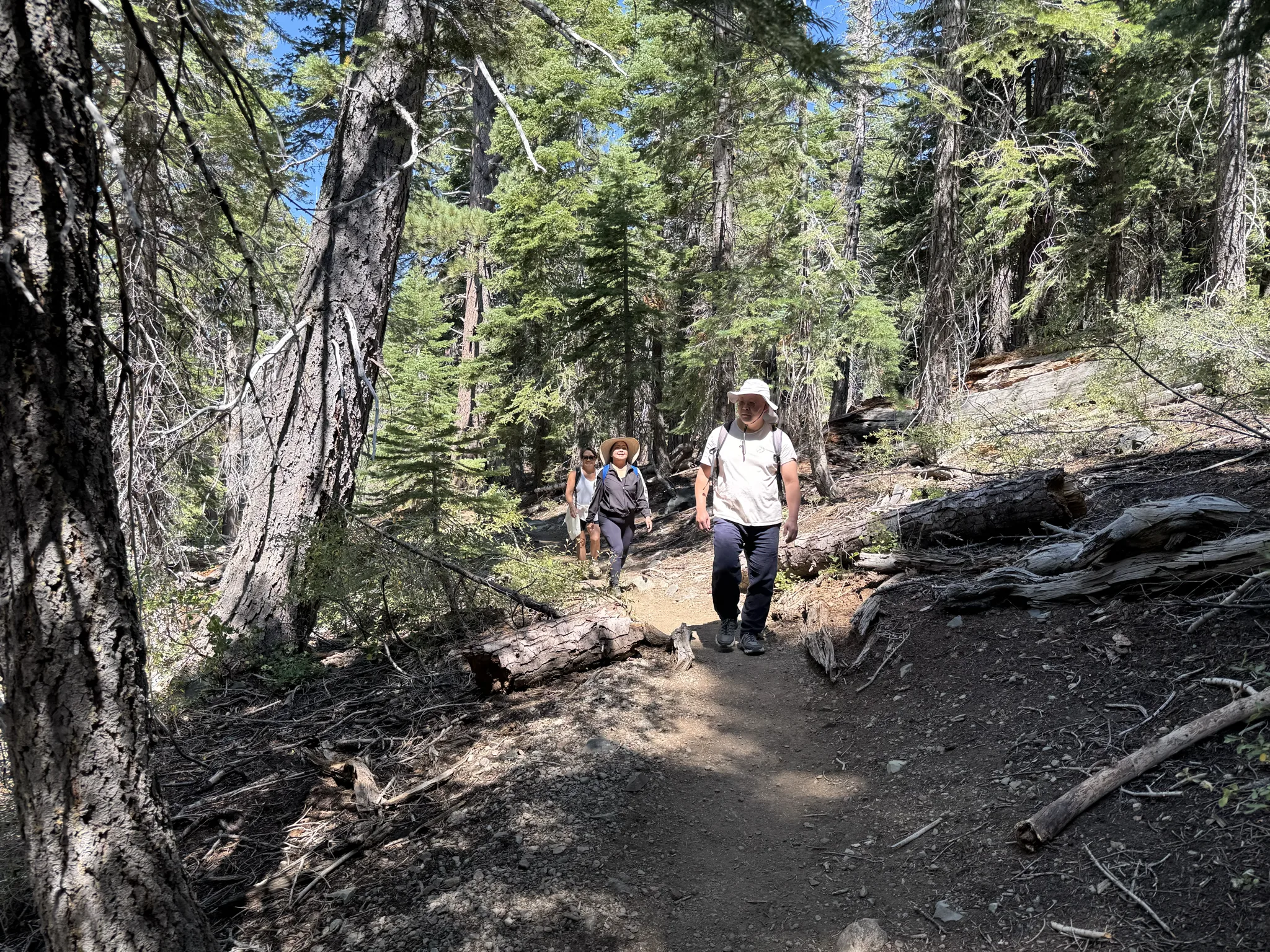
We march on.
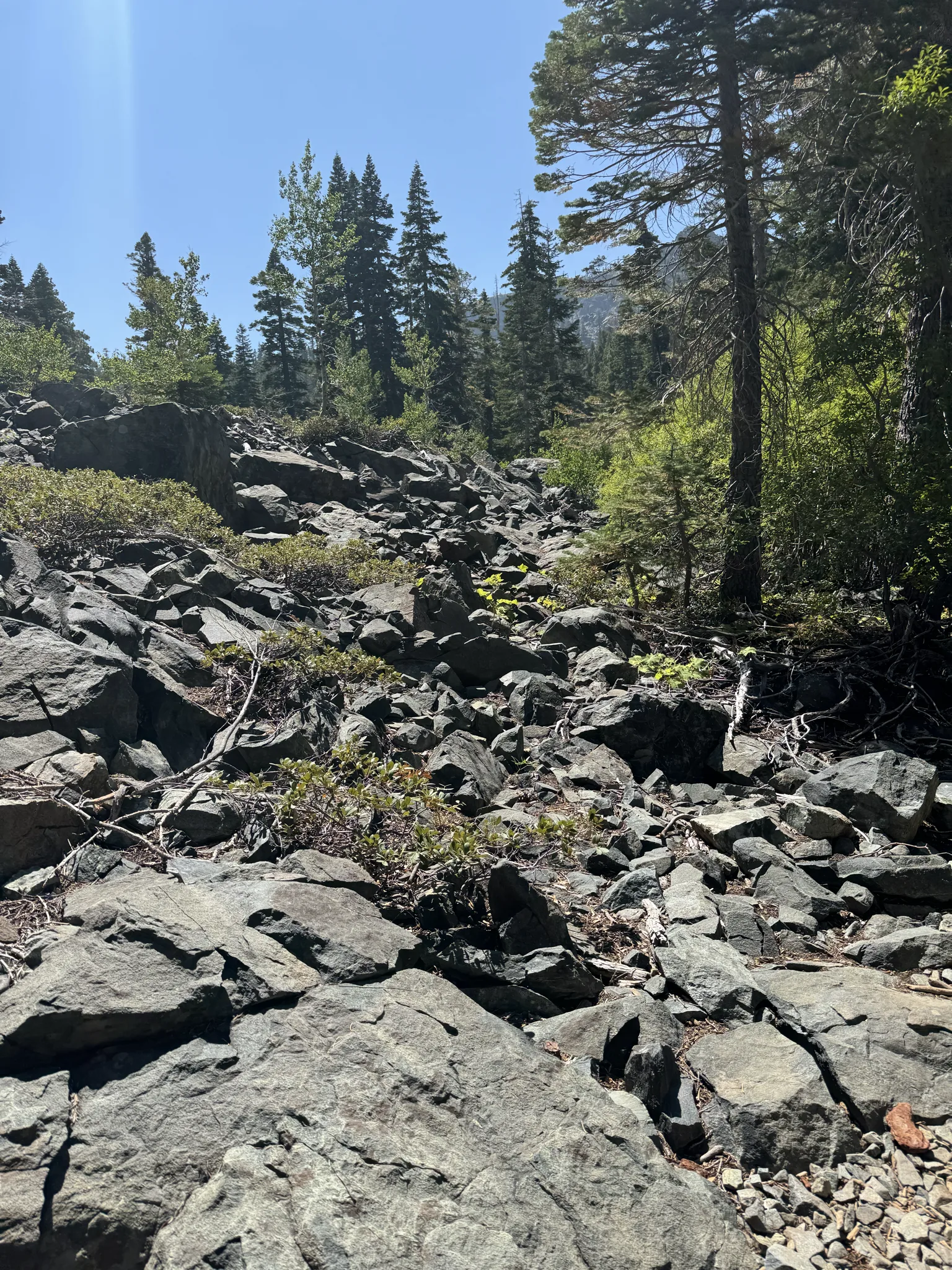
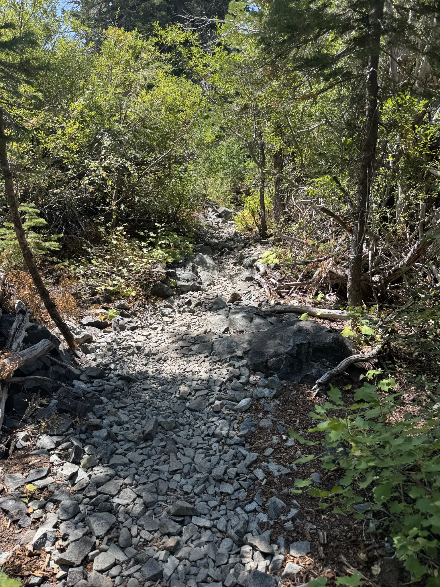
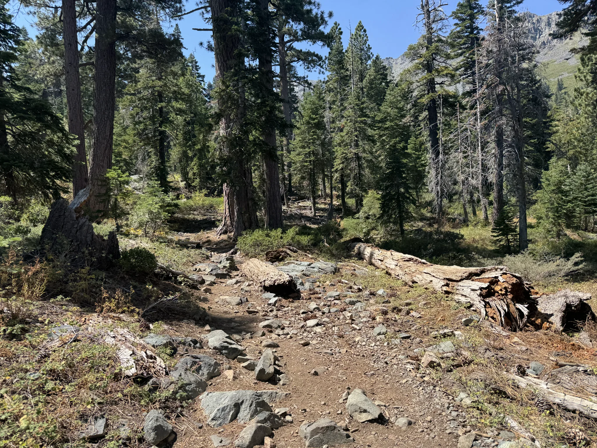
Here are a few photos of our current surroundings.
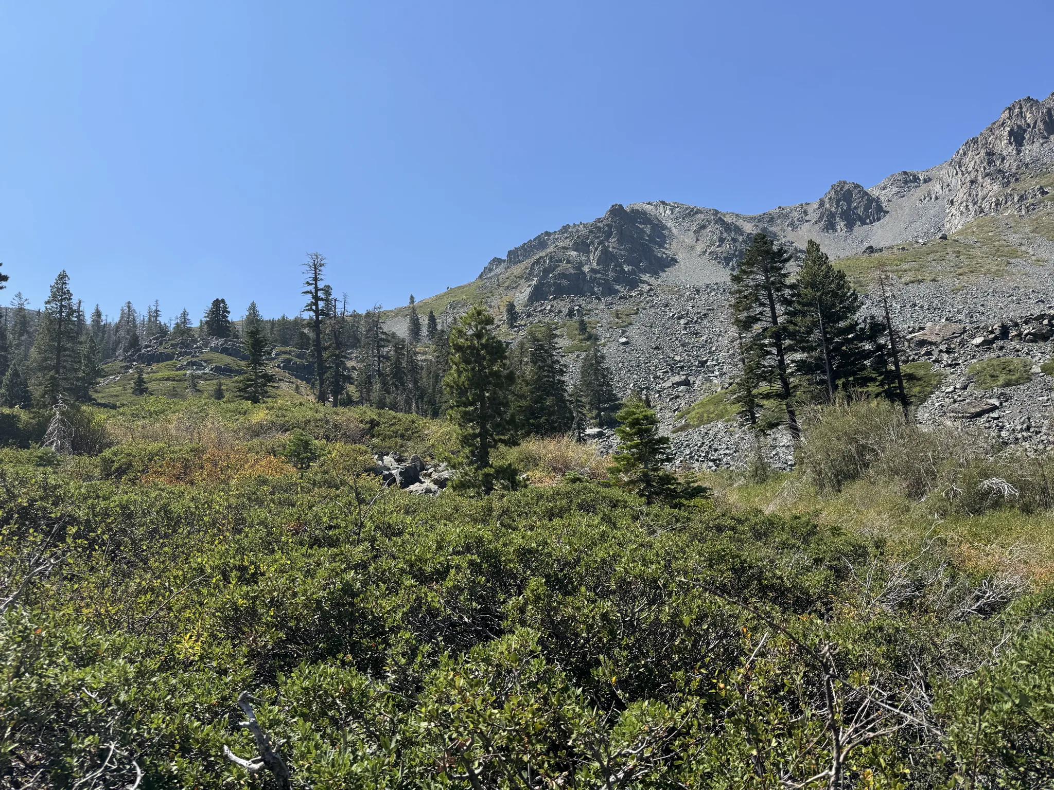
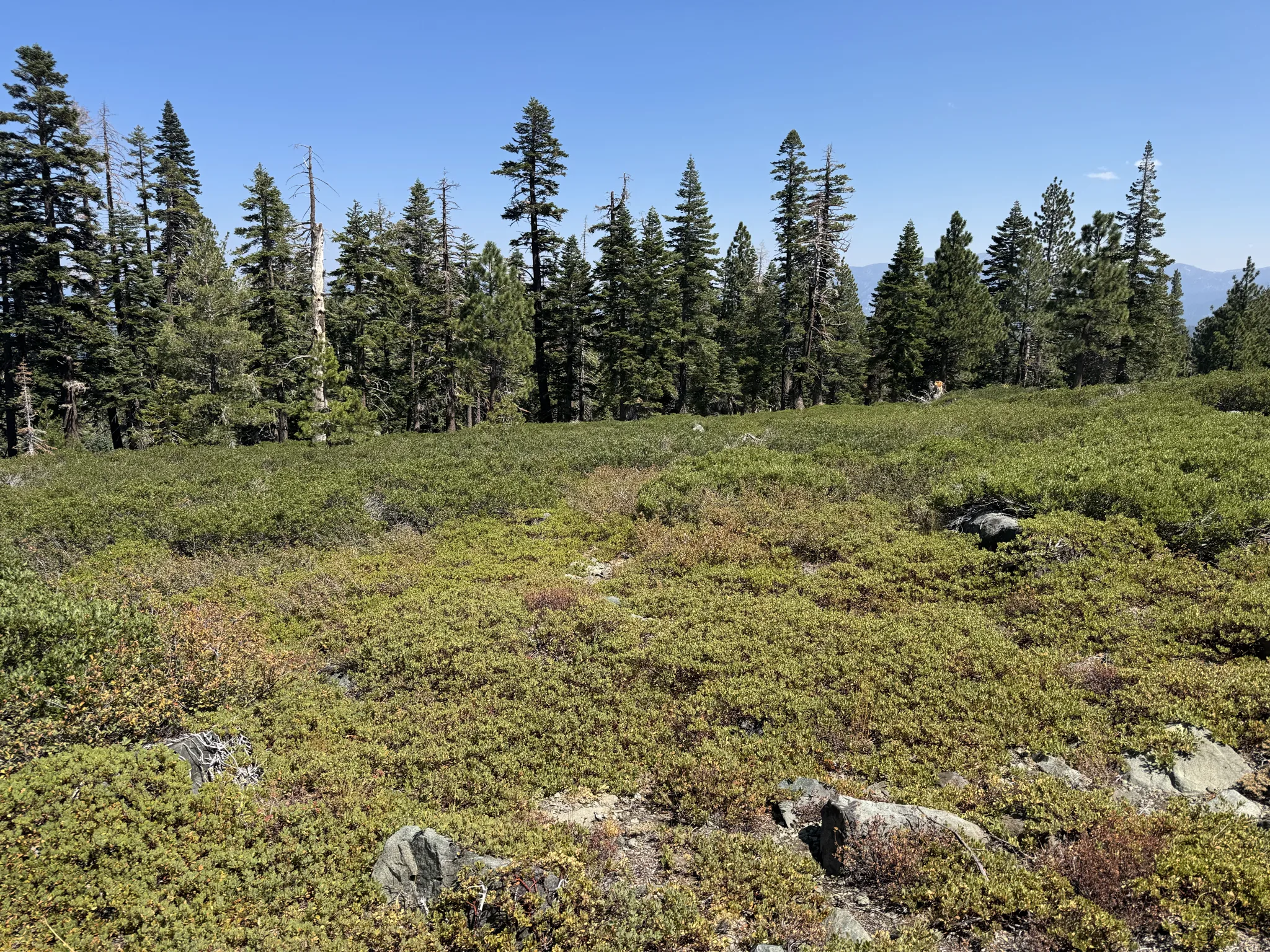
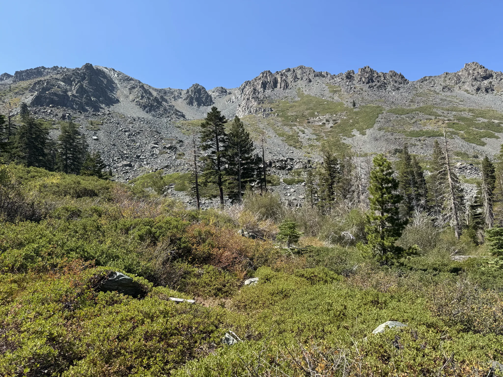
We break for another rest.
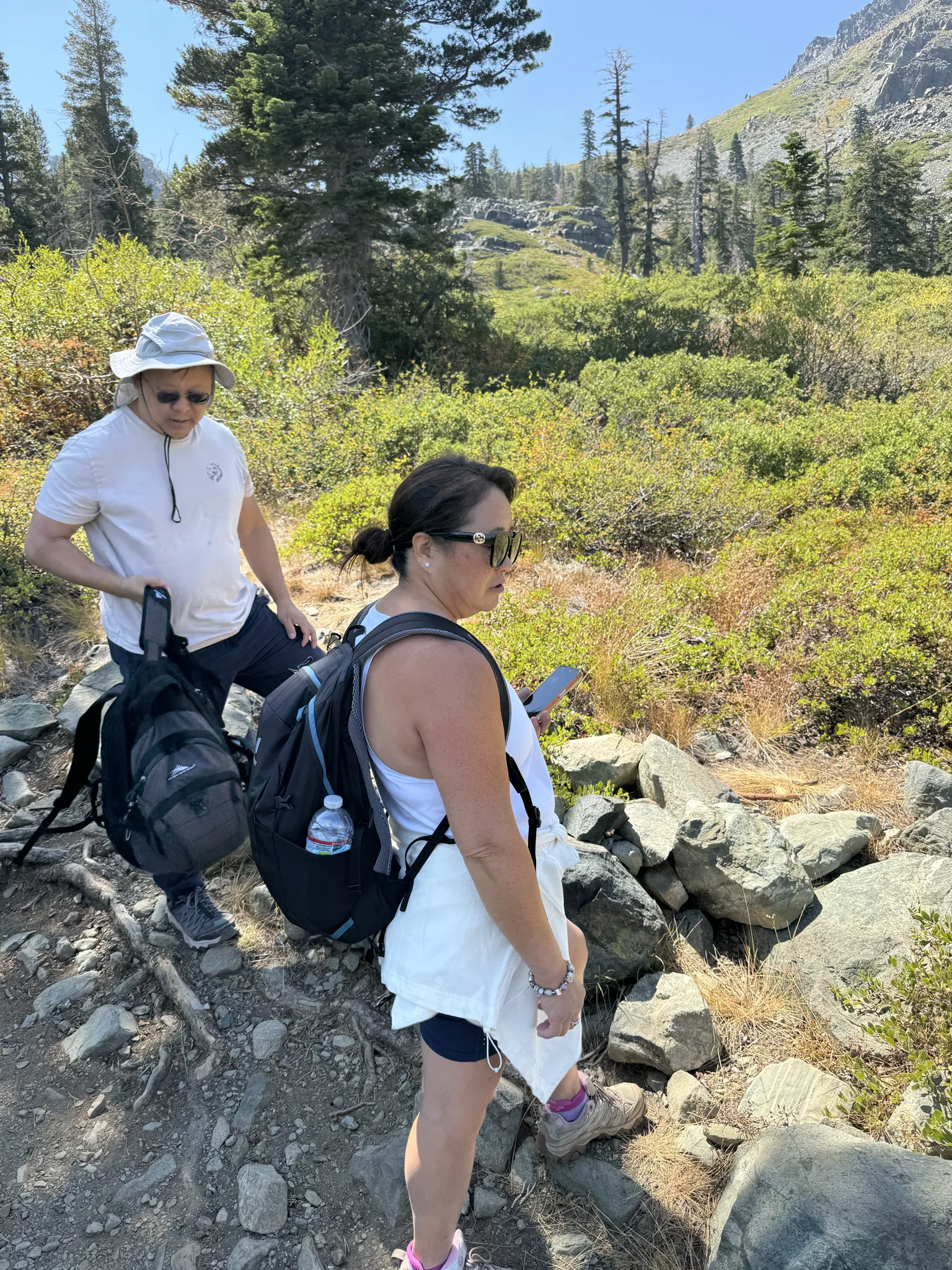
The trail often is made up of sharp cornered rocks.
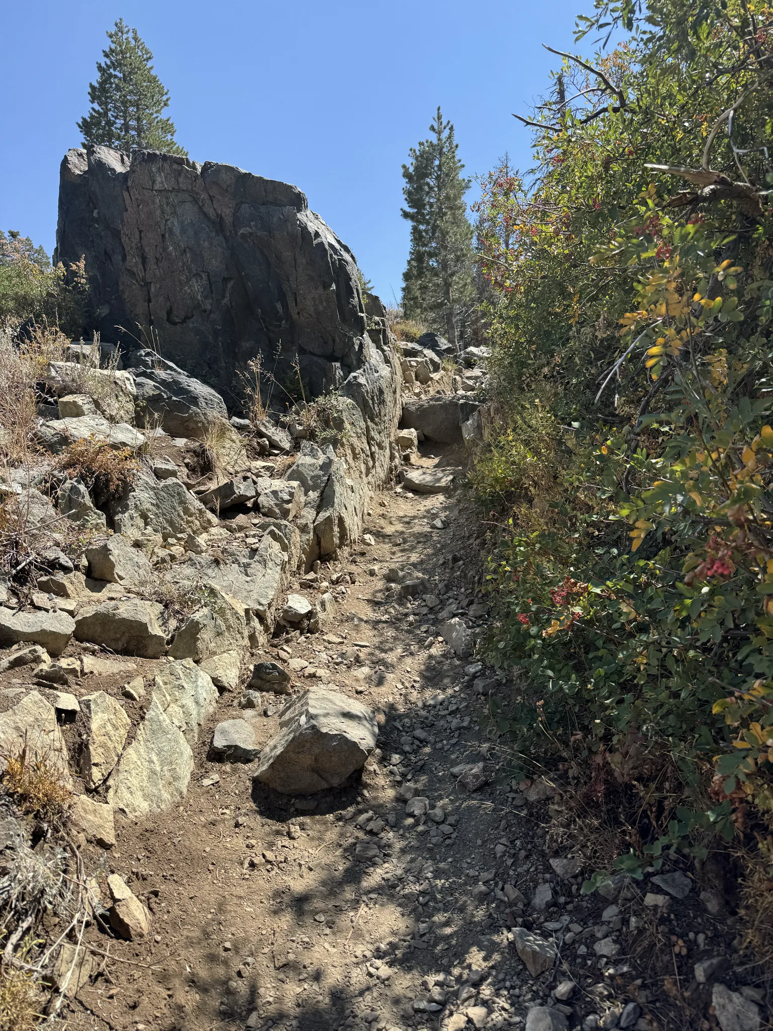
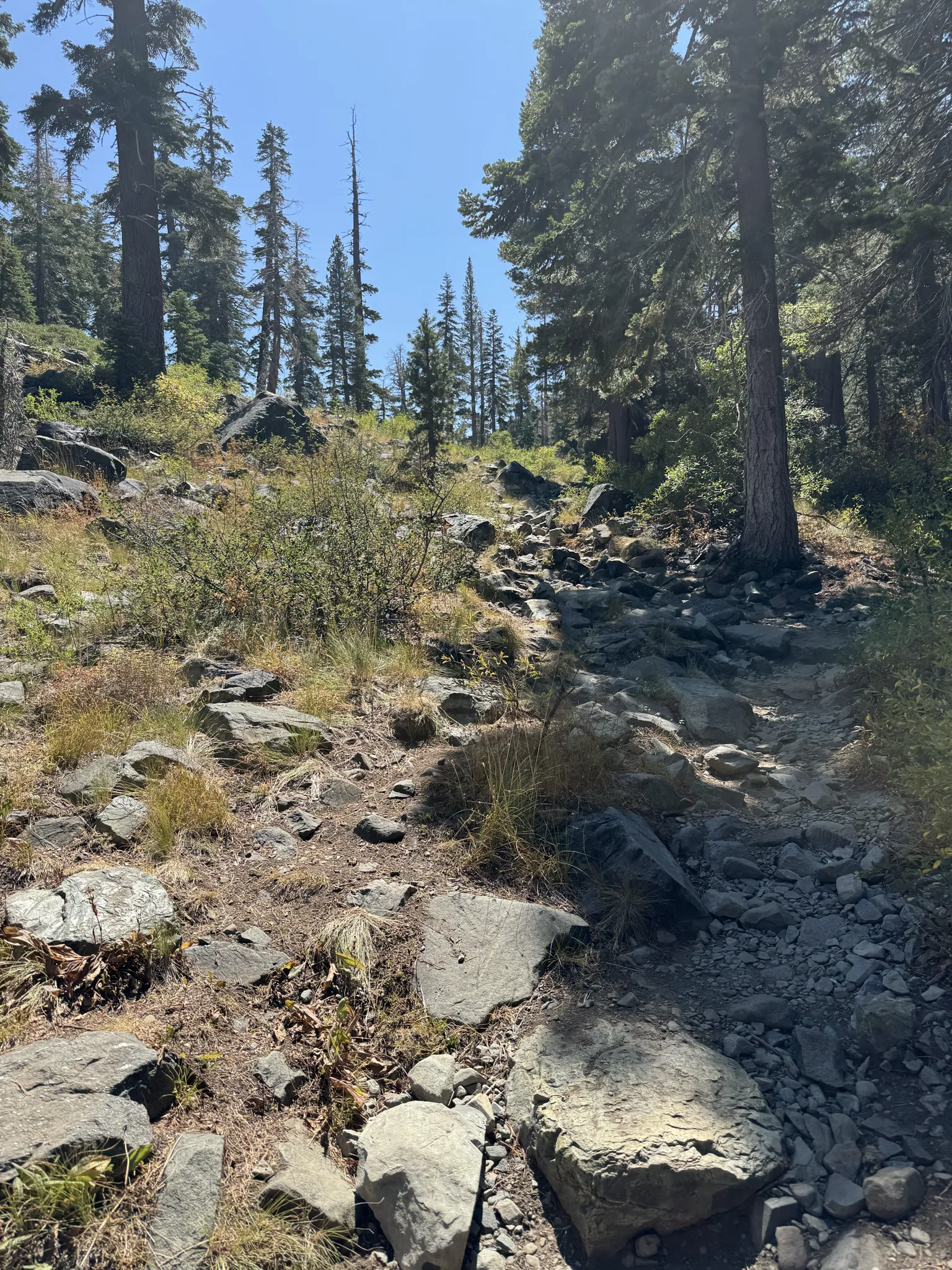
Another rest in the shade. We take advantage of the shade when we can.
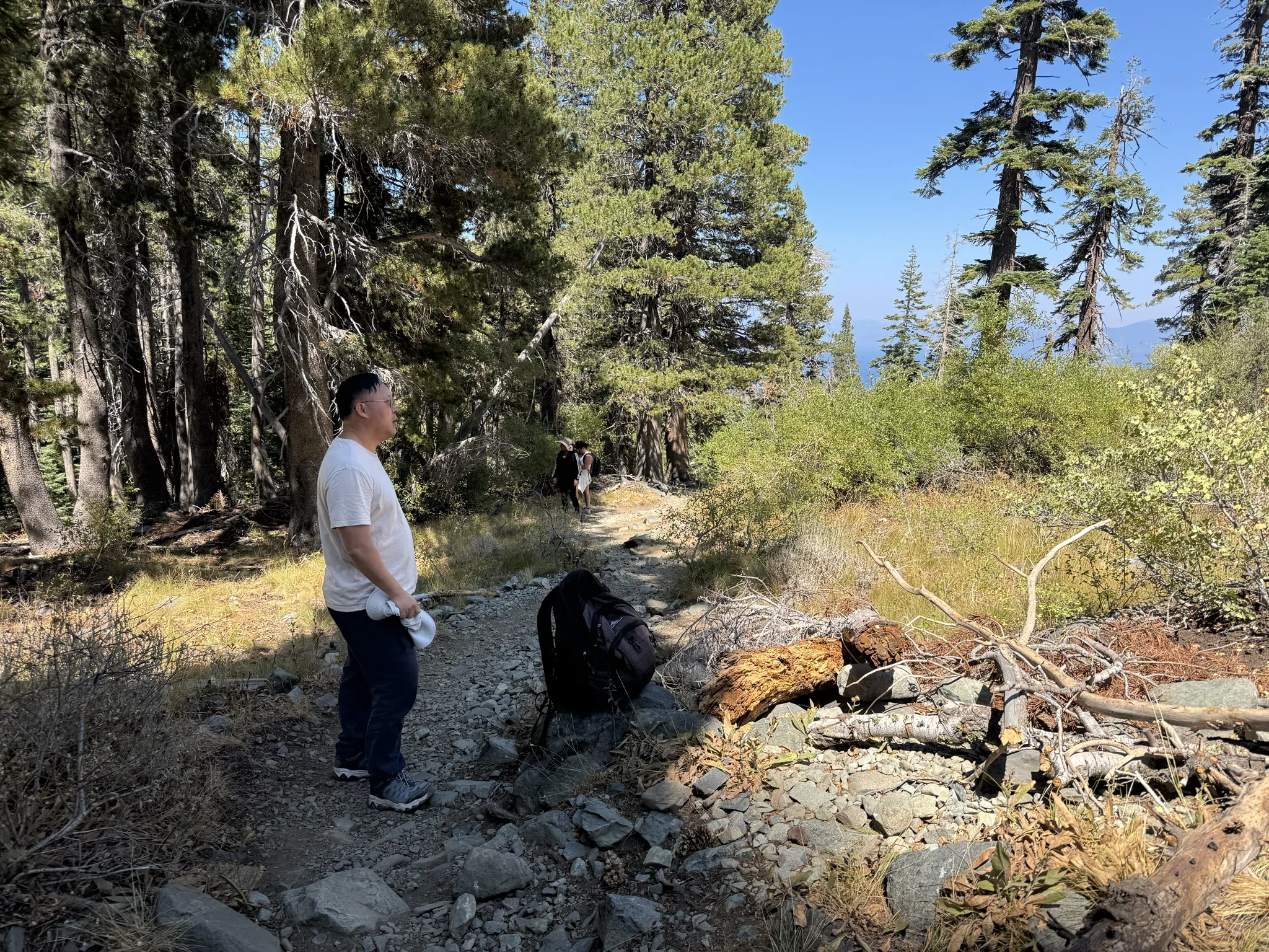
A shot of the beautiful environment we are in.
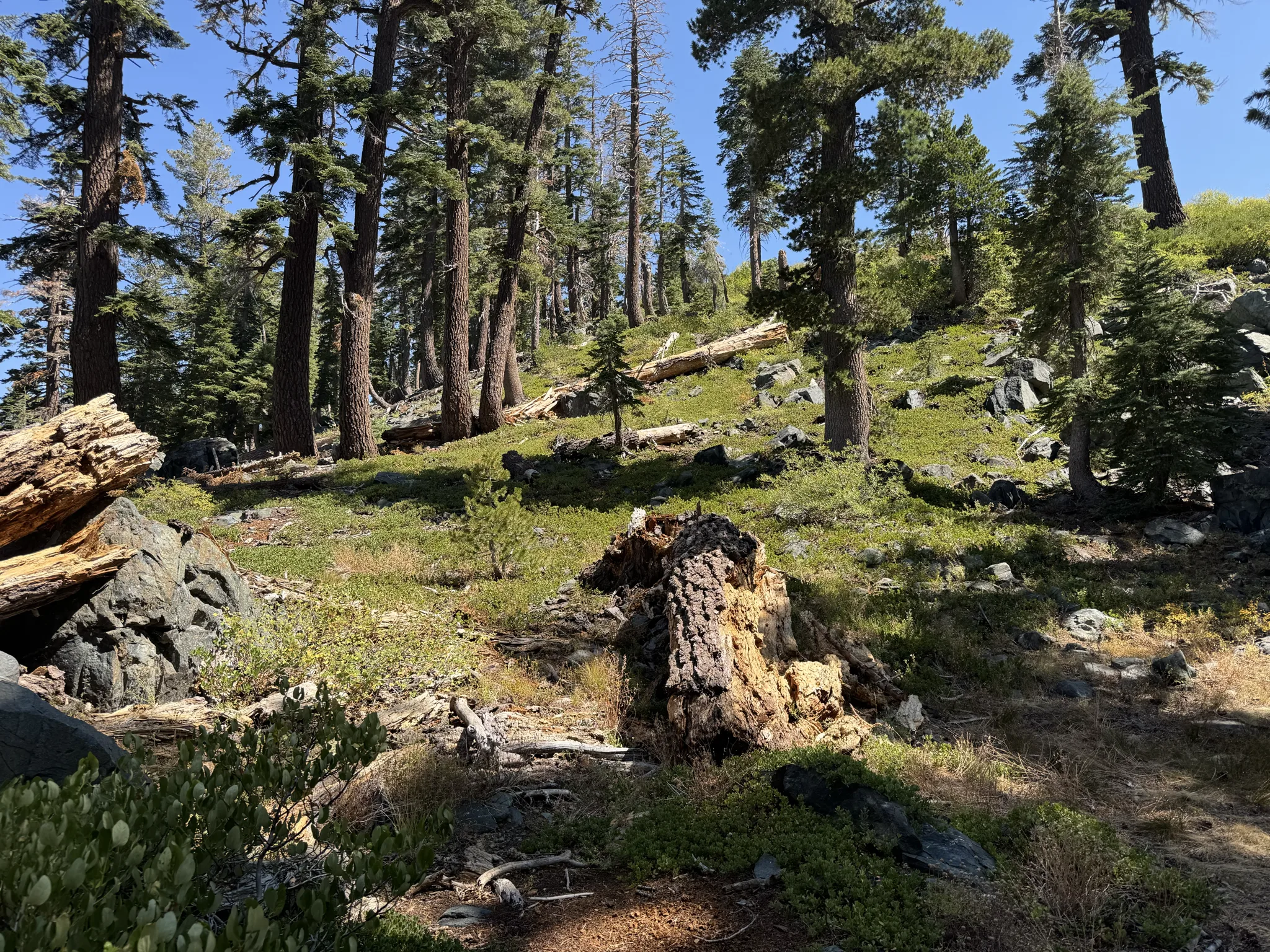
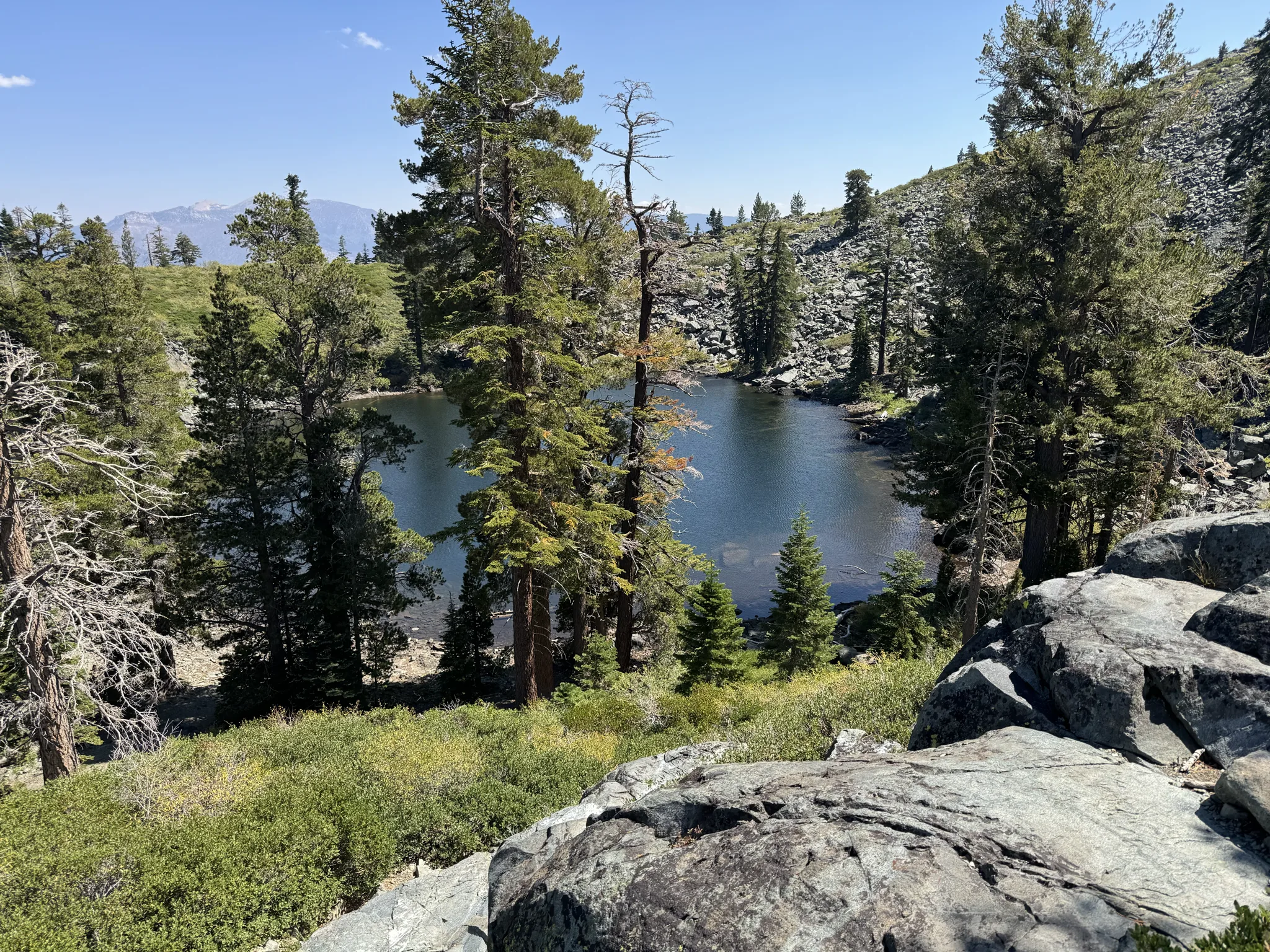
We come upon Cathedral Lake and take a break for some photo taking. This lake is quite small. I take note of it because this is a marking point between the first part of the hike and the second part which is to ascend to the top. We still have a long way to go and a lot of elevation to make on the way.
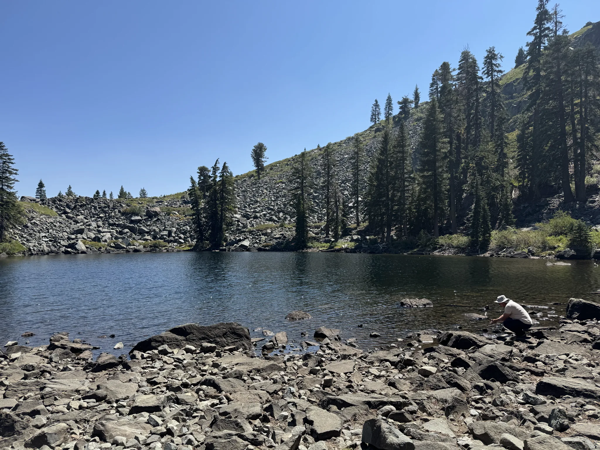
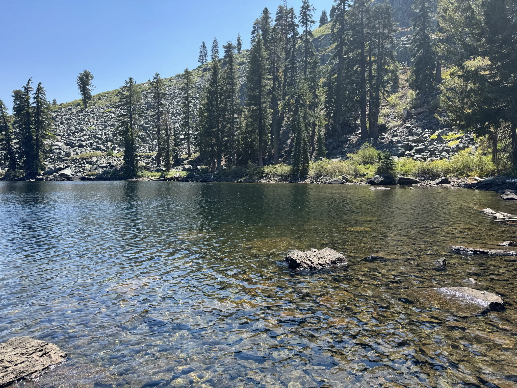
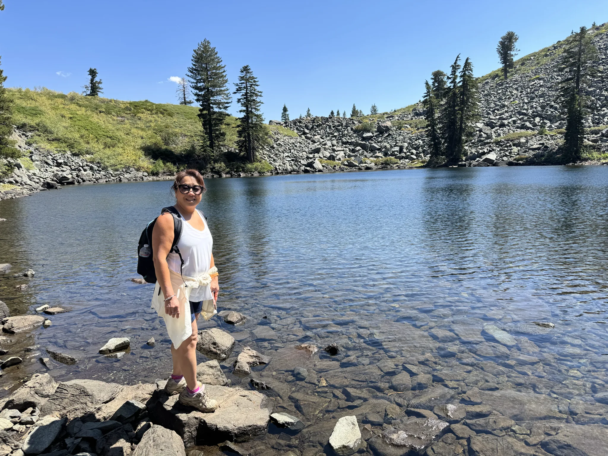
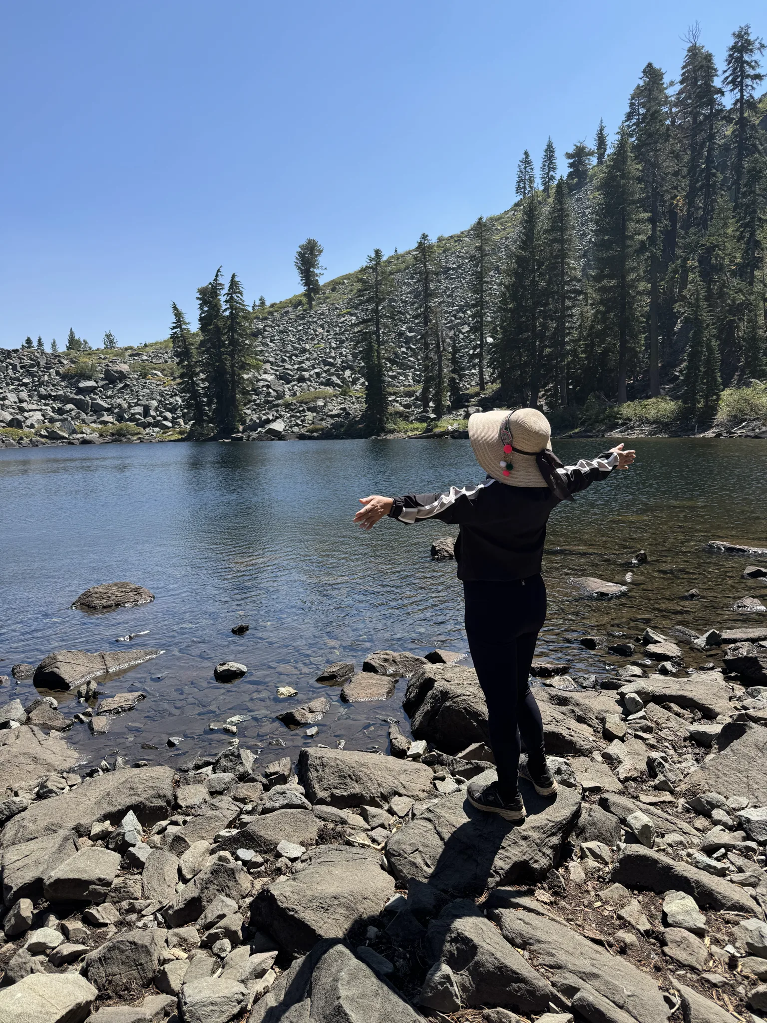
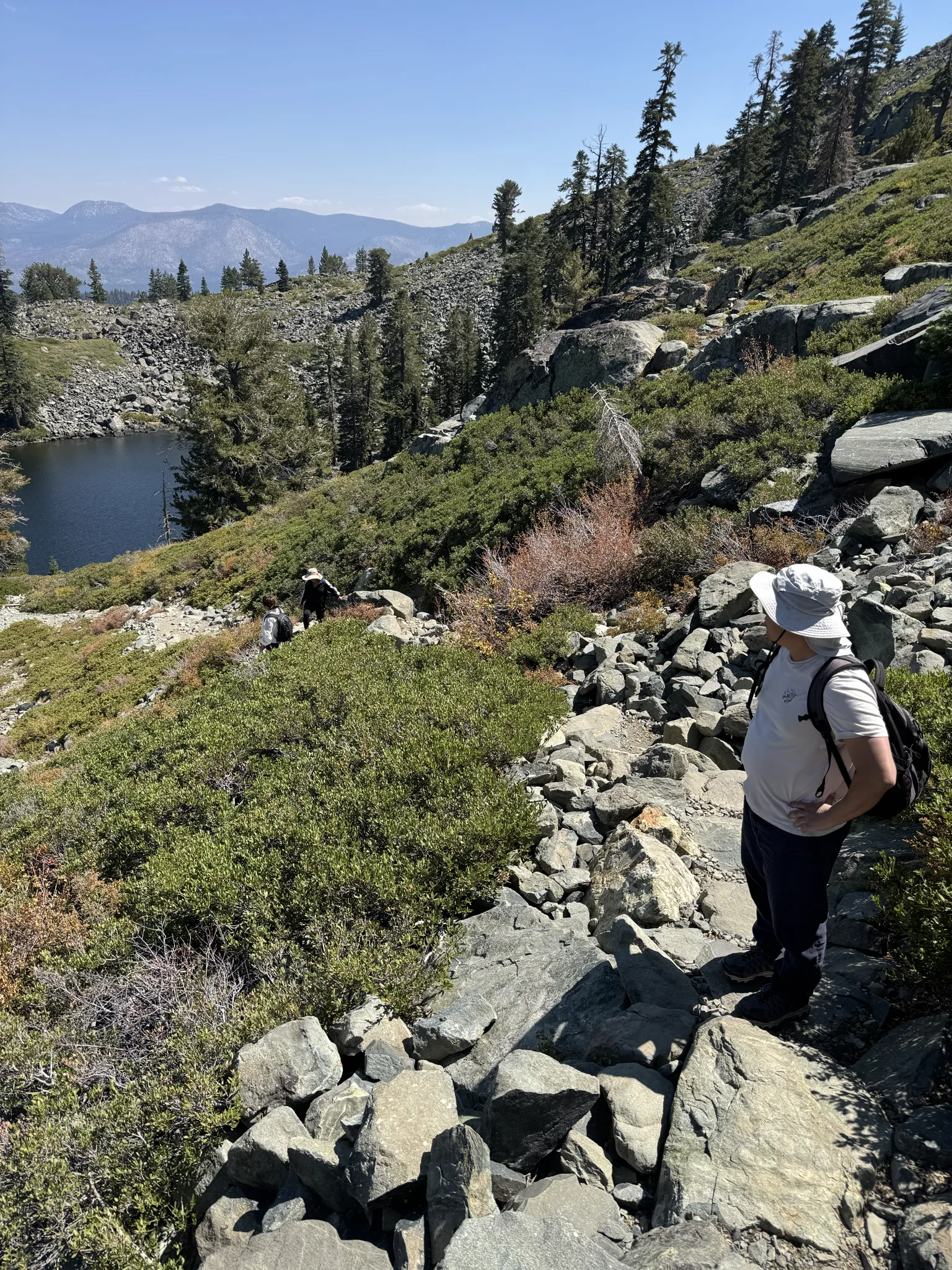
Up we go. We can look down at the lake as we get higher.
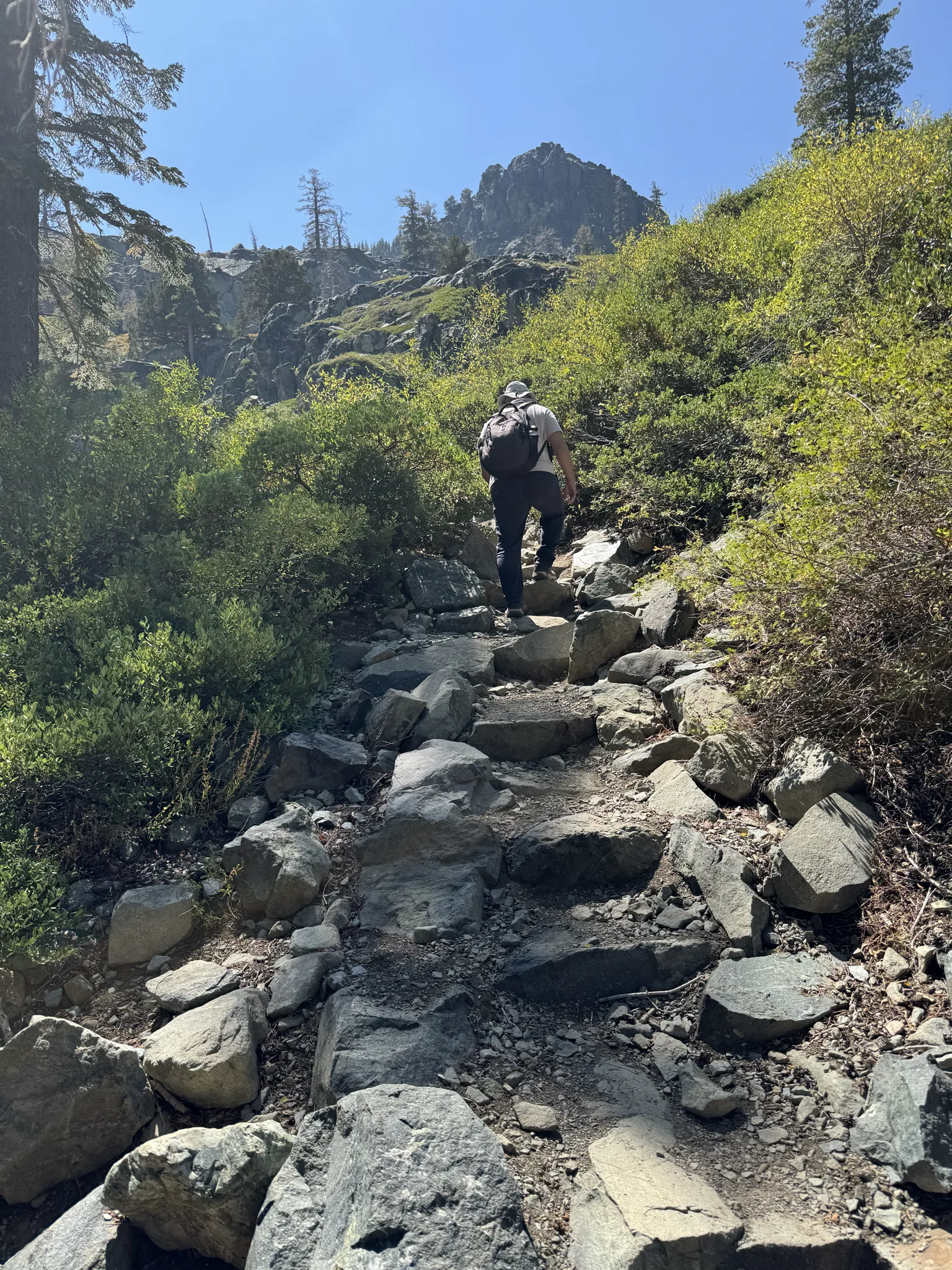
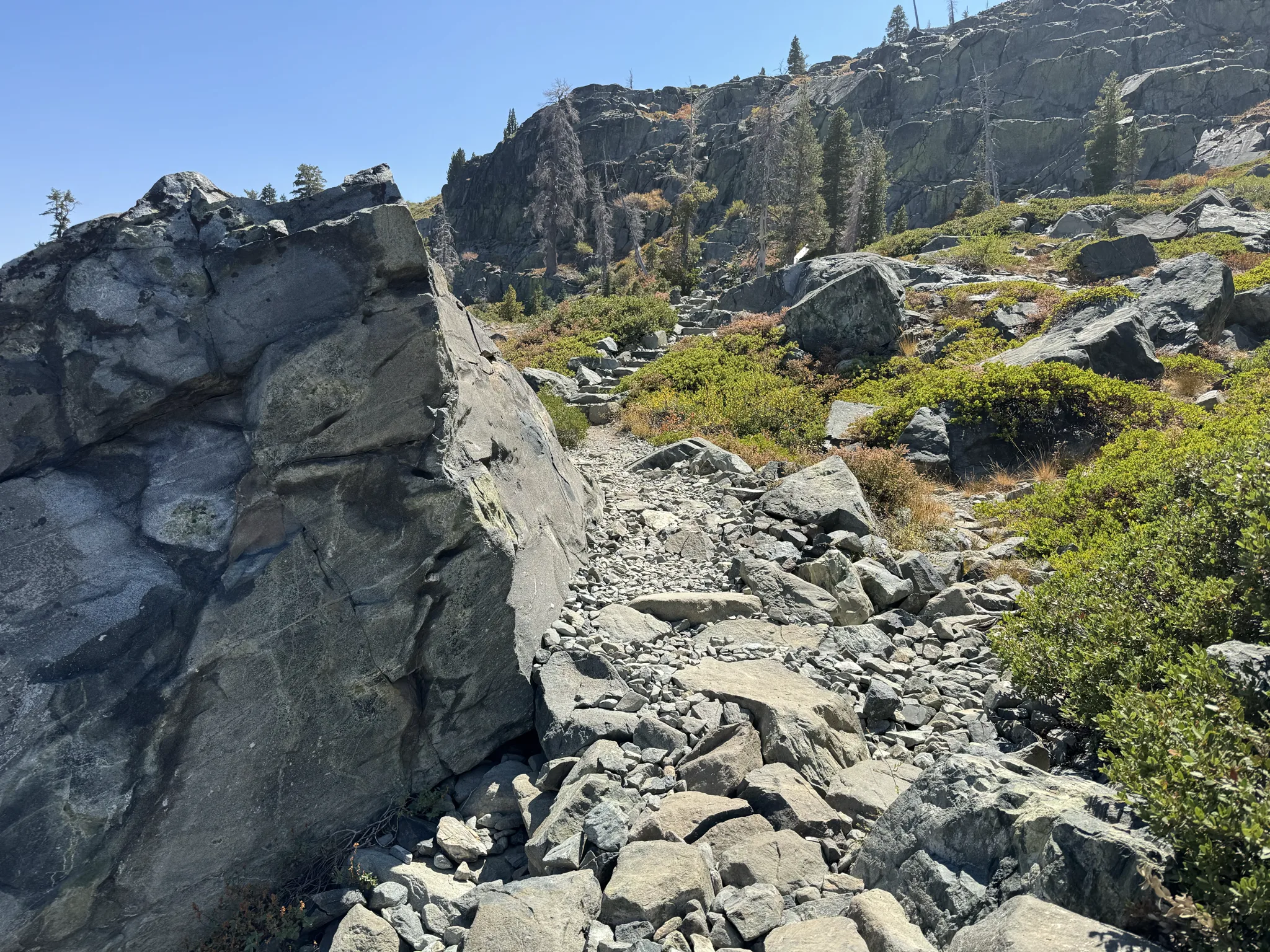
Some of the rock steps on the path look like ancient ruins. I know they are a lot more current than that and wonder who created them.
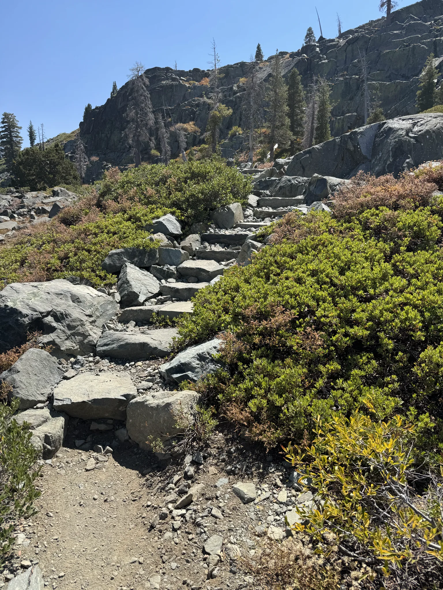
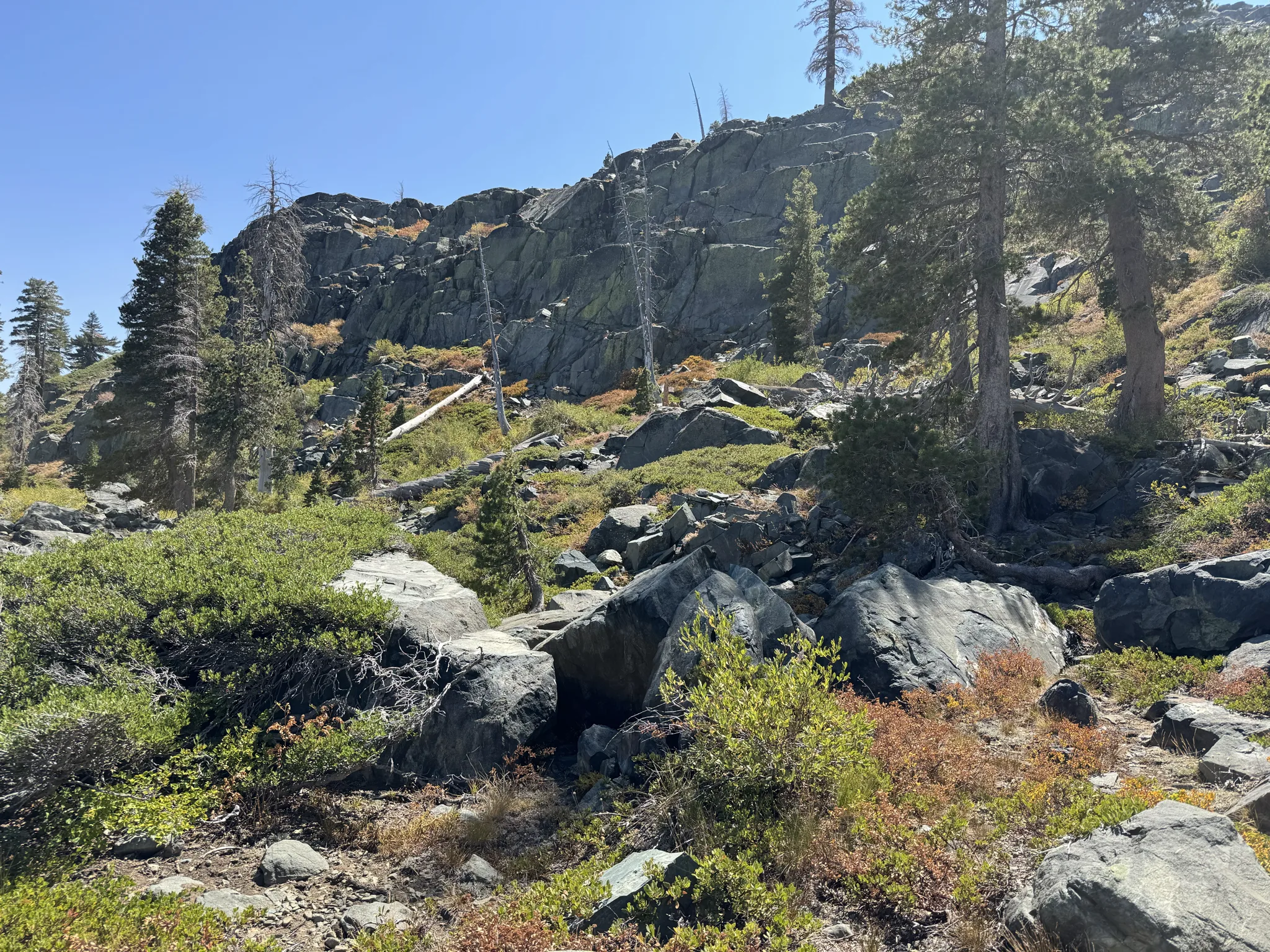
We take in the view, rest a bit and of course, take photos.
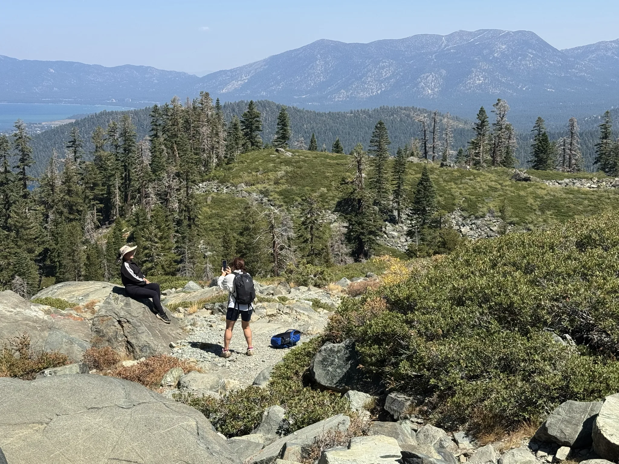
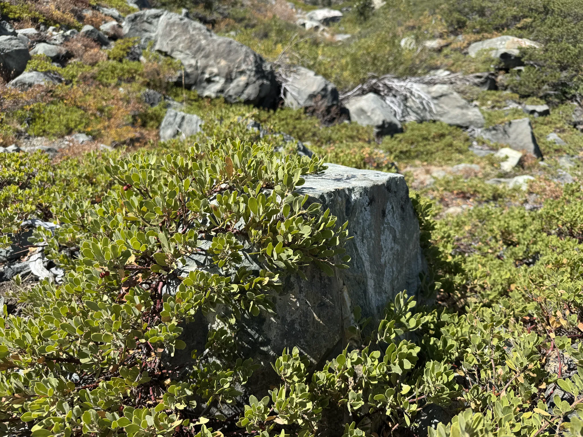
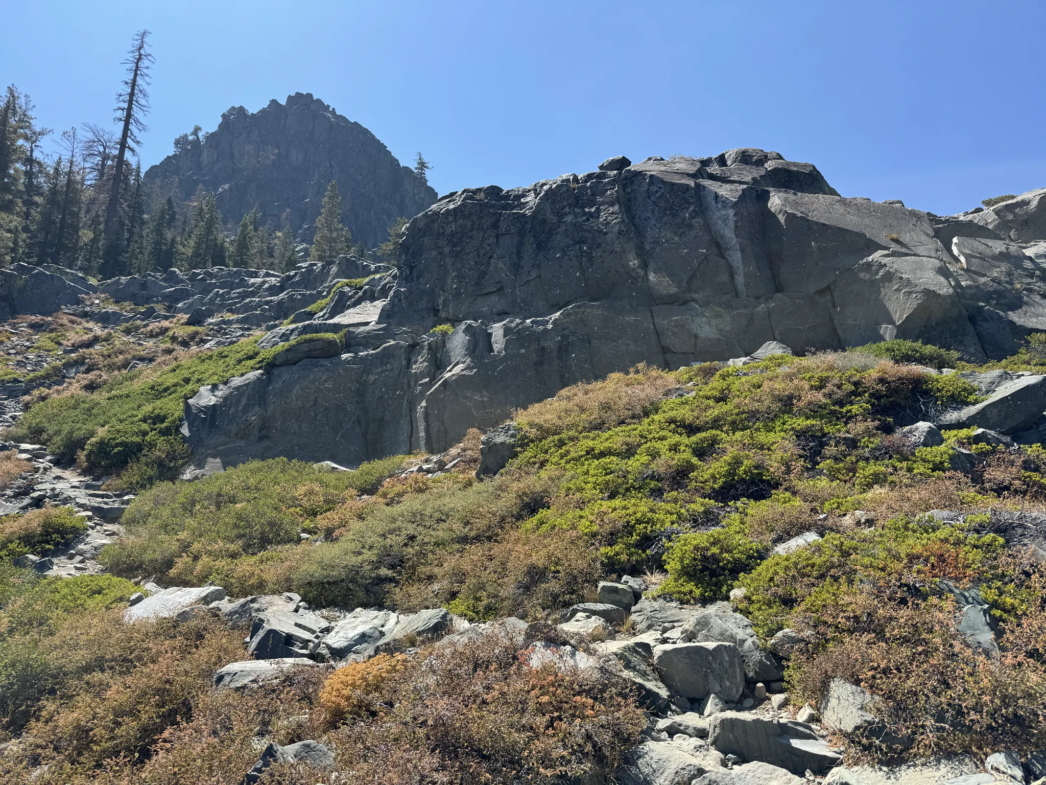
Our view expands as we climb higher.
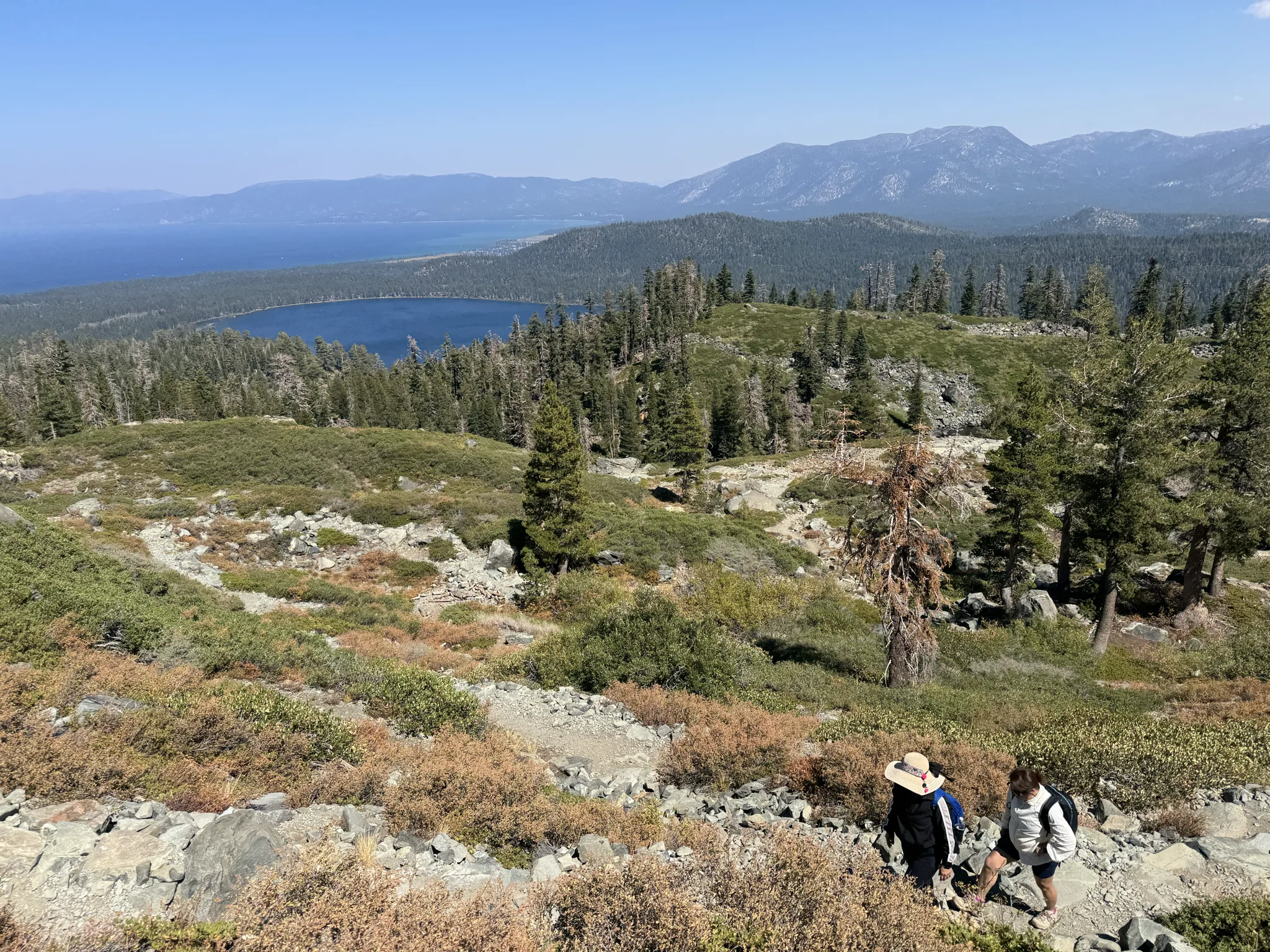
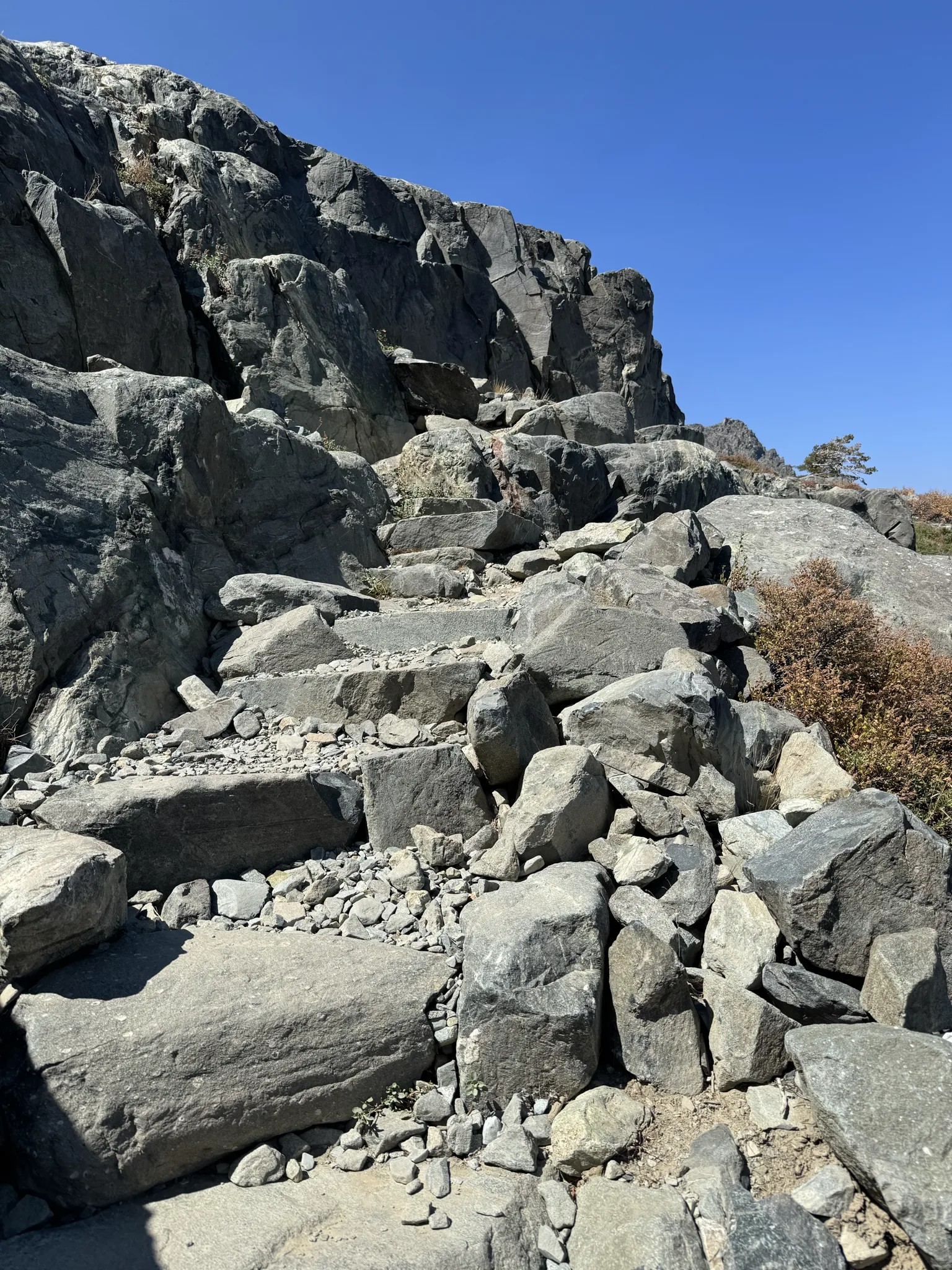
I find the rocks on the ground to be really fascinating.
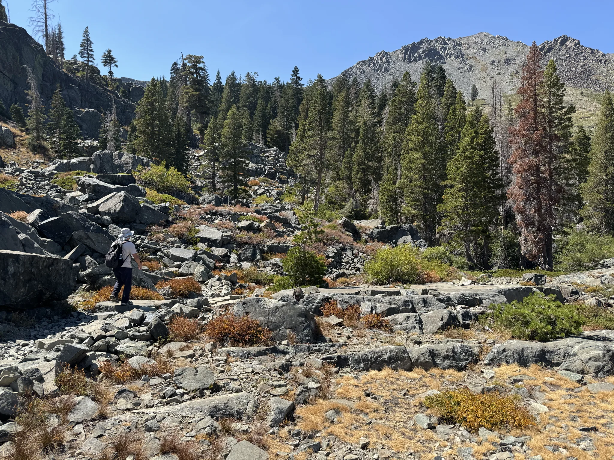
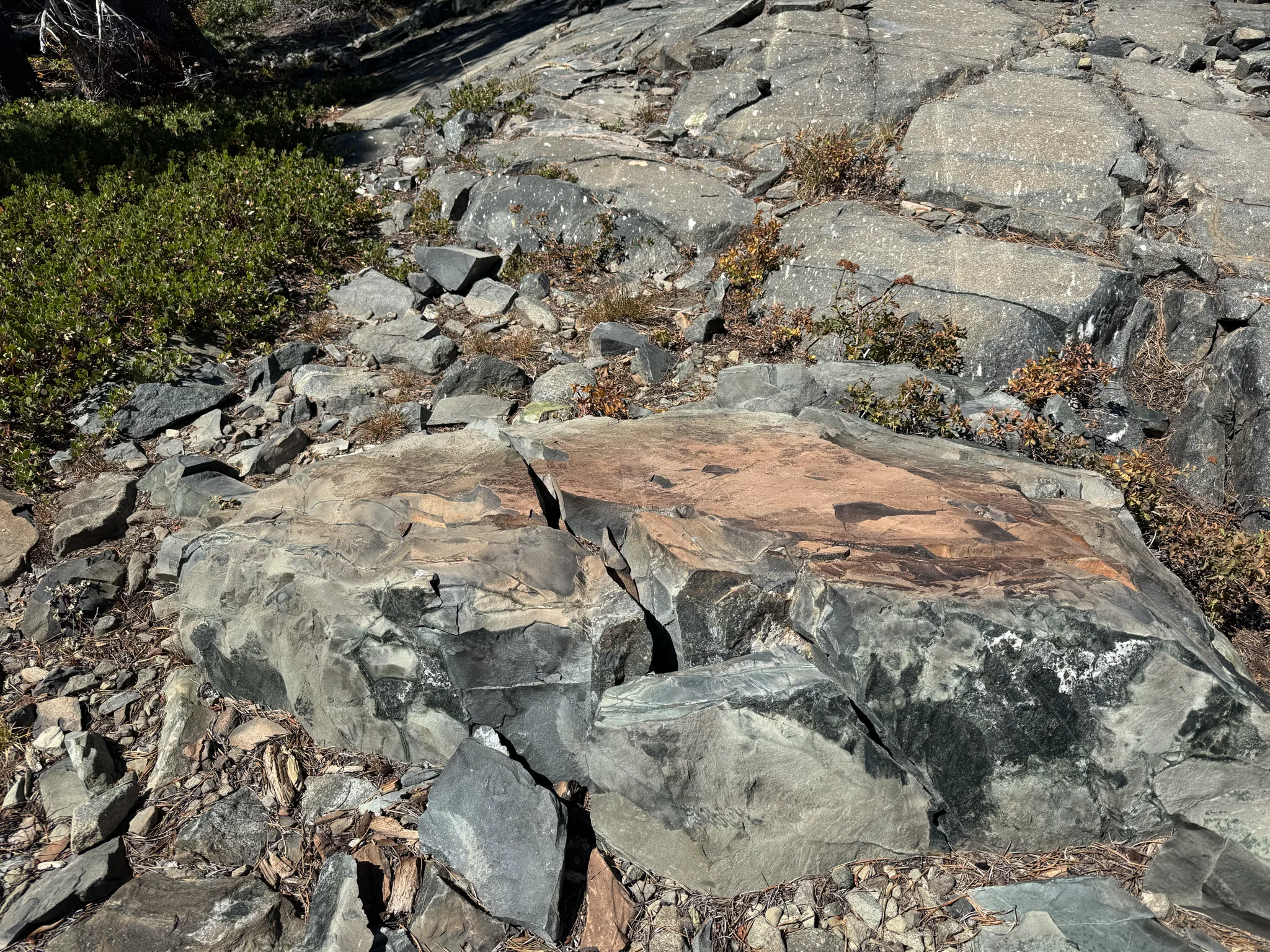
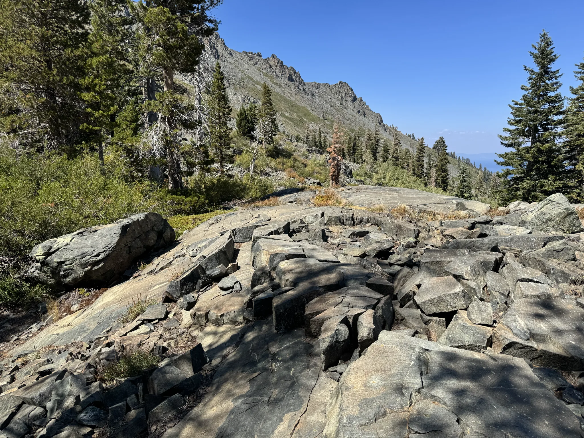
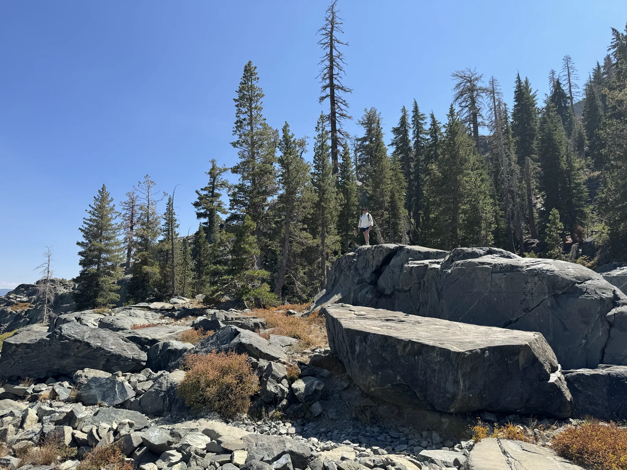
Ying climbs a rock for a view and photo opportunity.
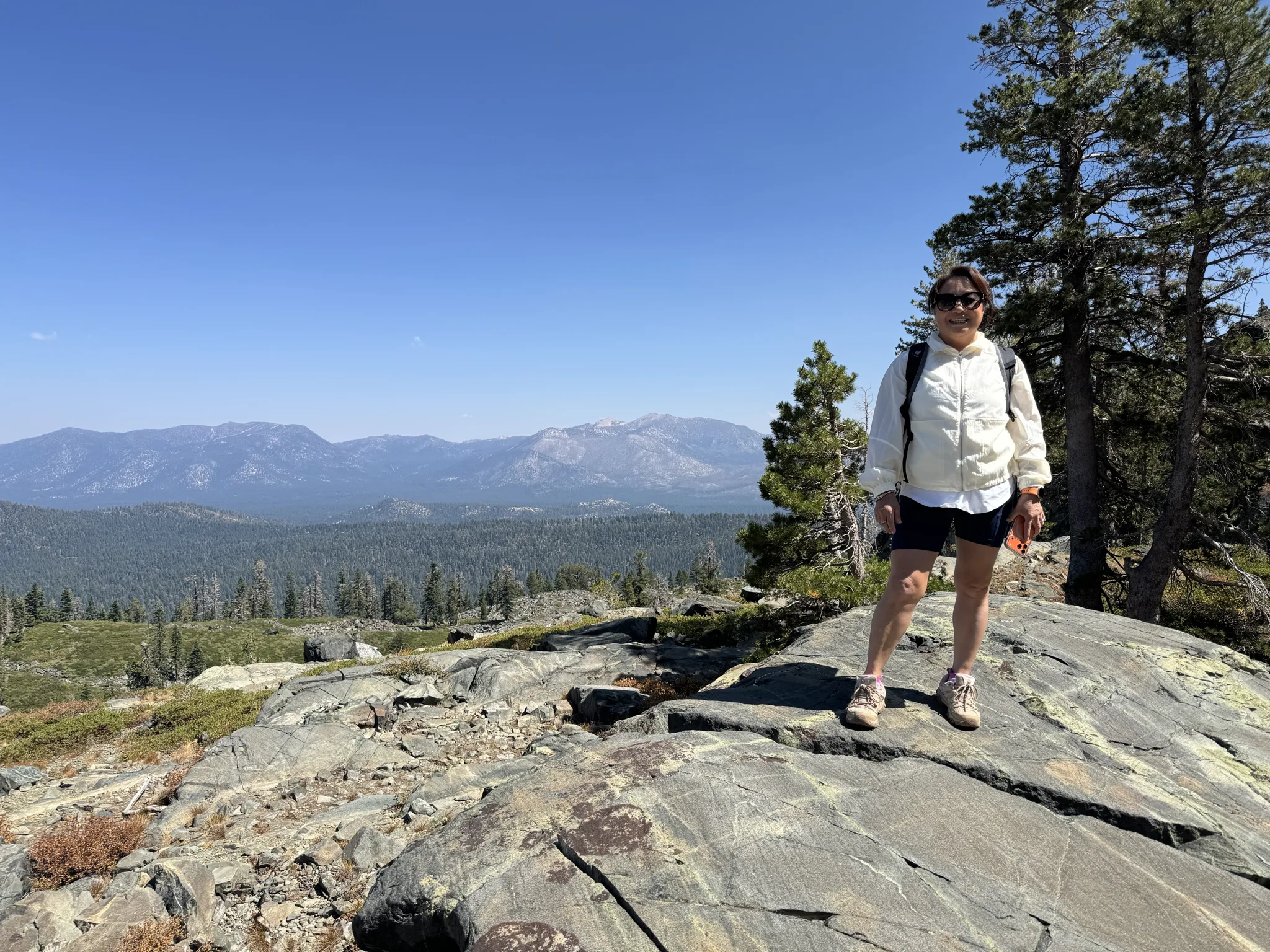
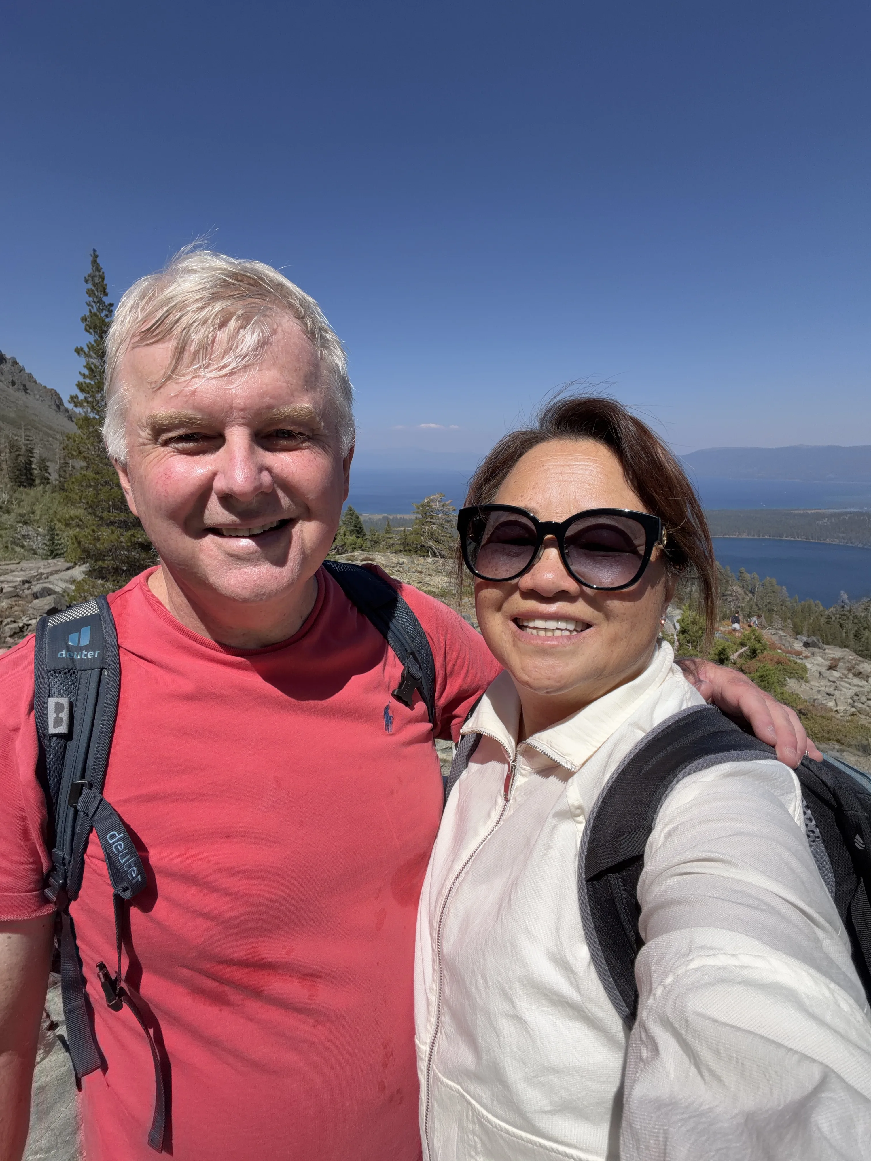
Selfie time for us.
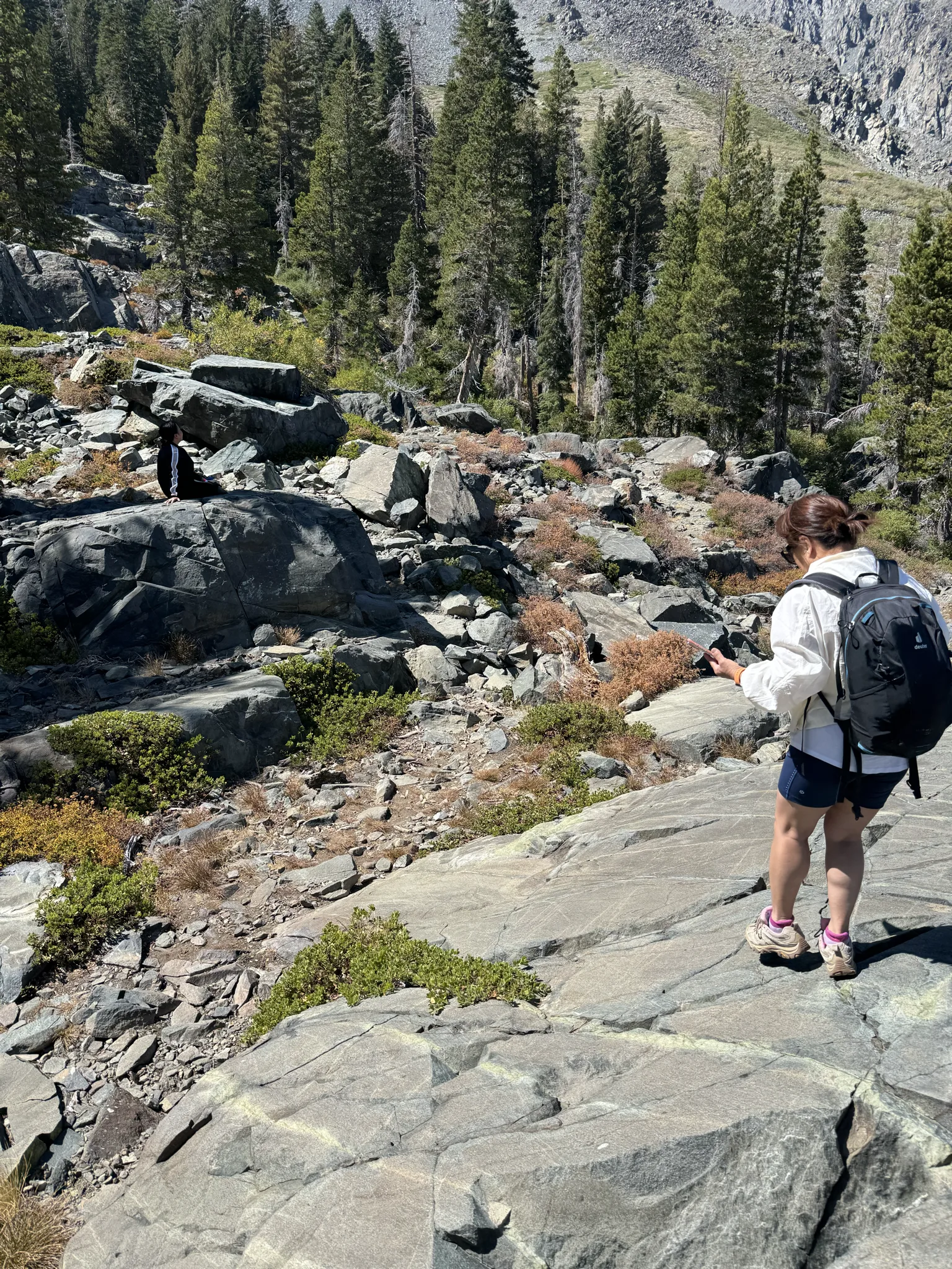
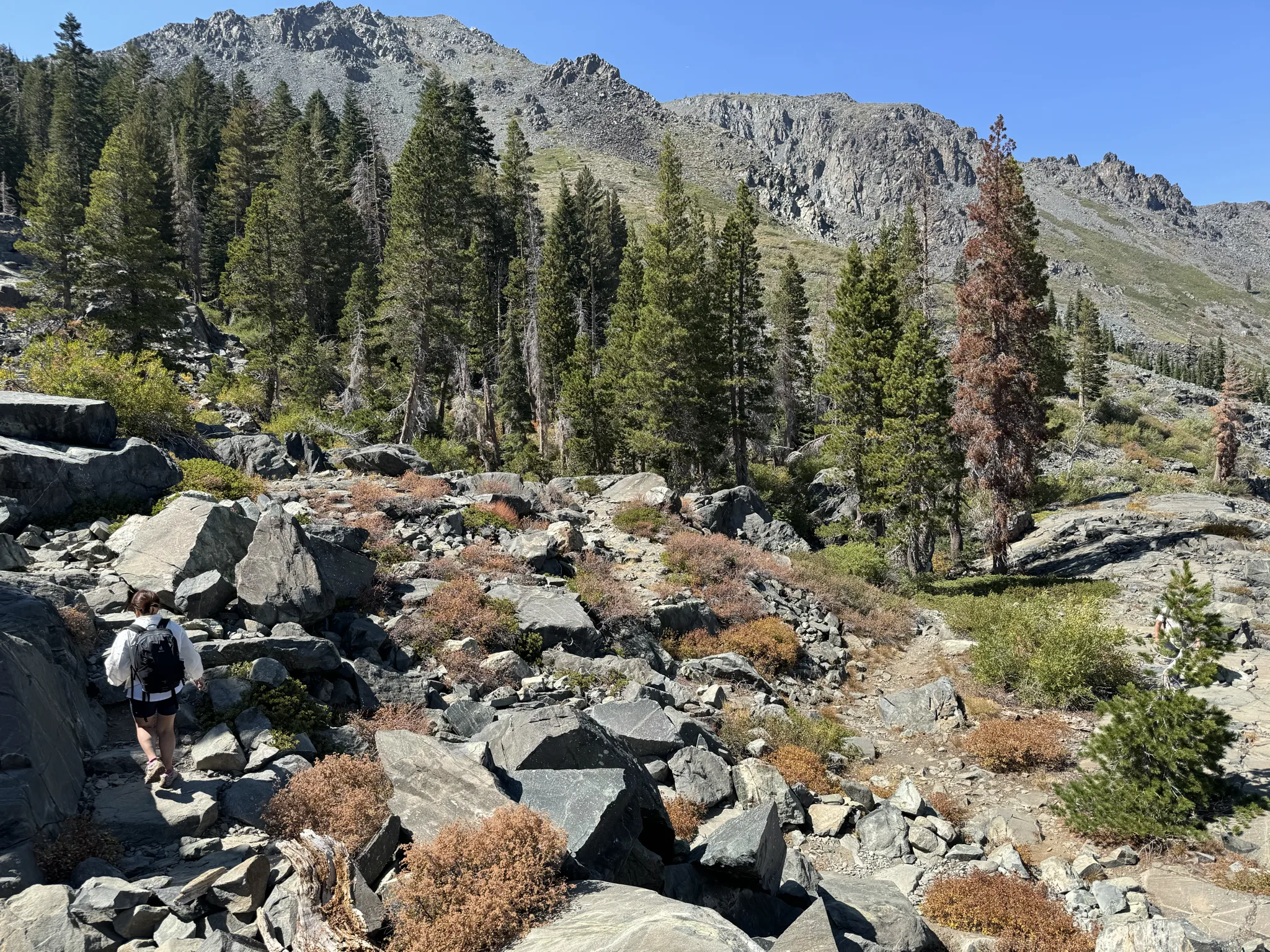
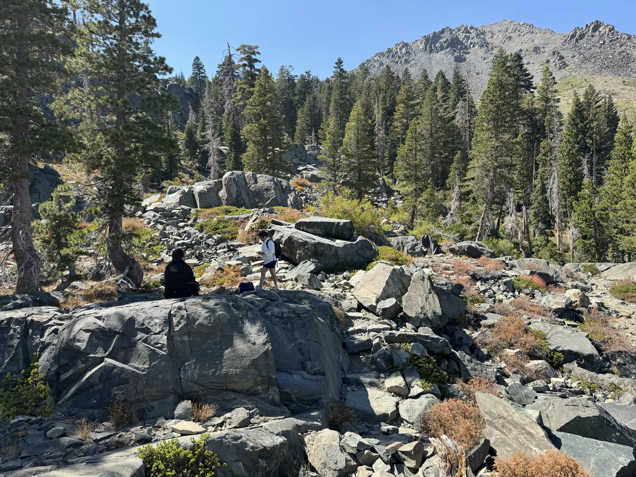
Everyone enjoys a break here.
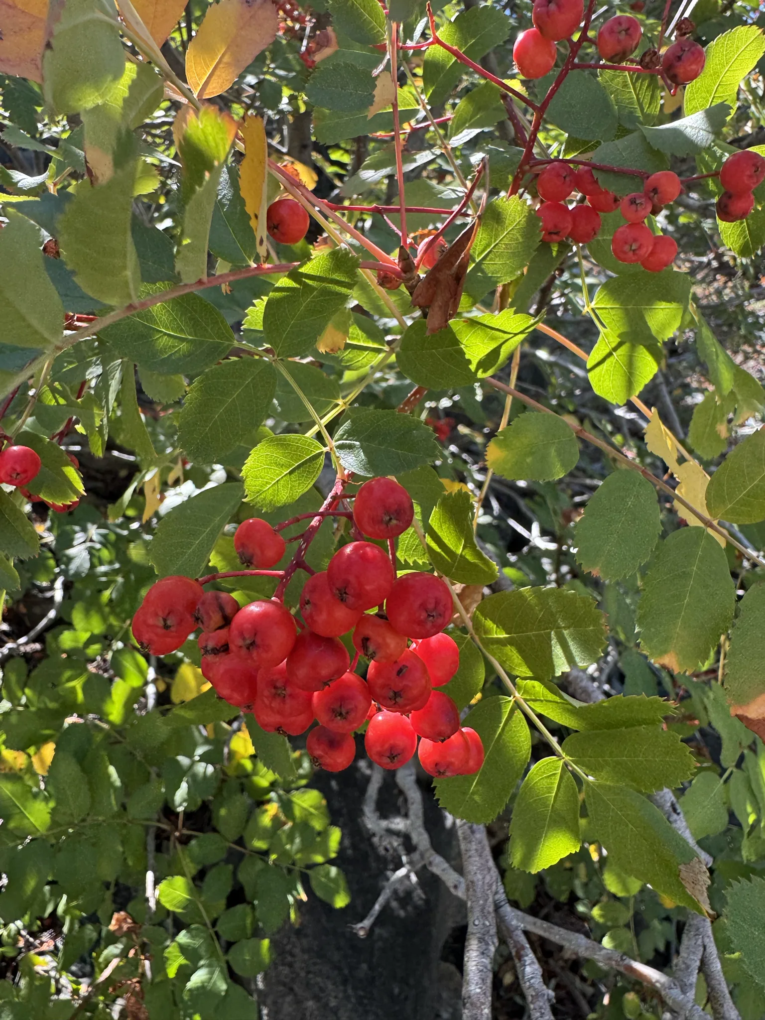
We press on and I see a berry bush like many we have seen along the way.
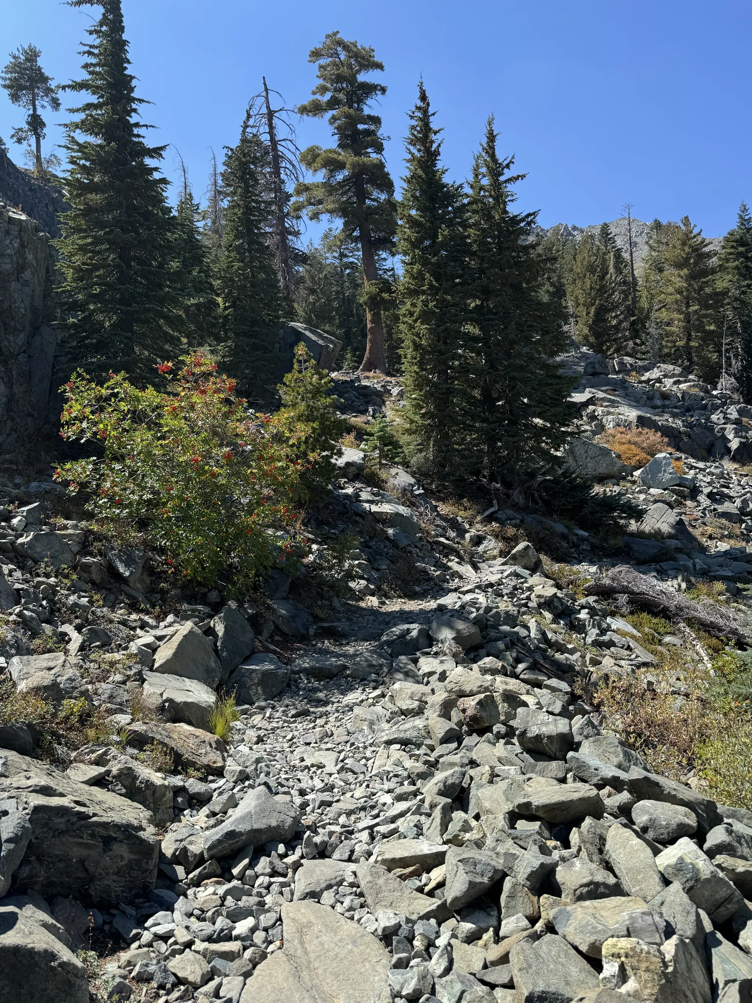
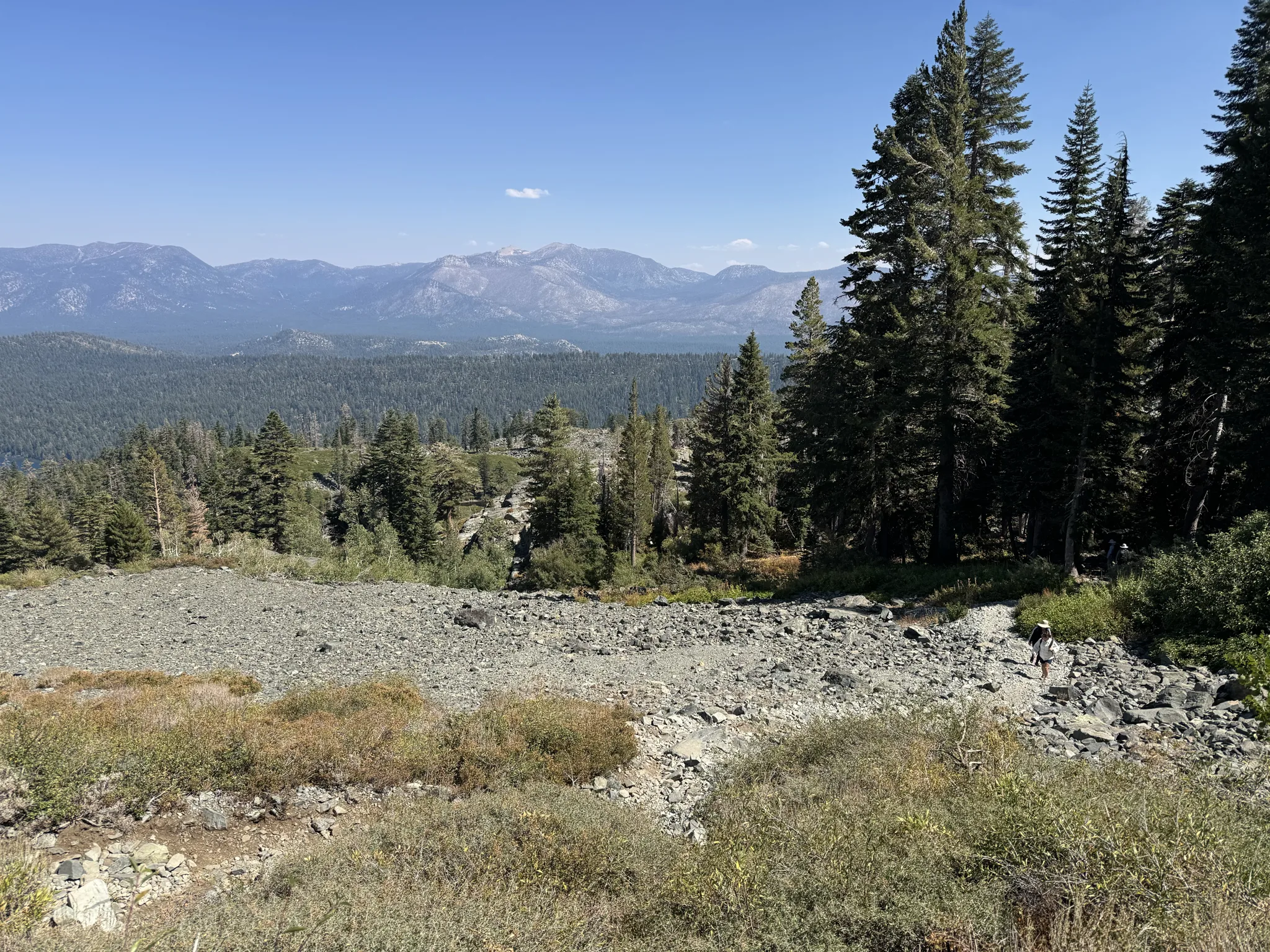
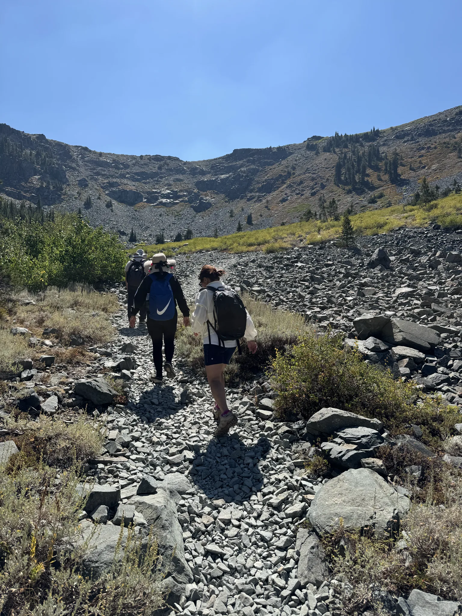
More uphill and we really haven’t gotten to the hard part yet.
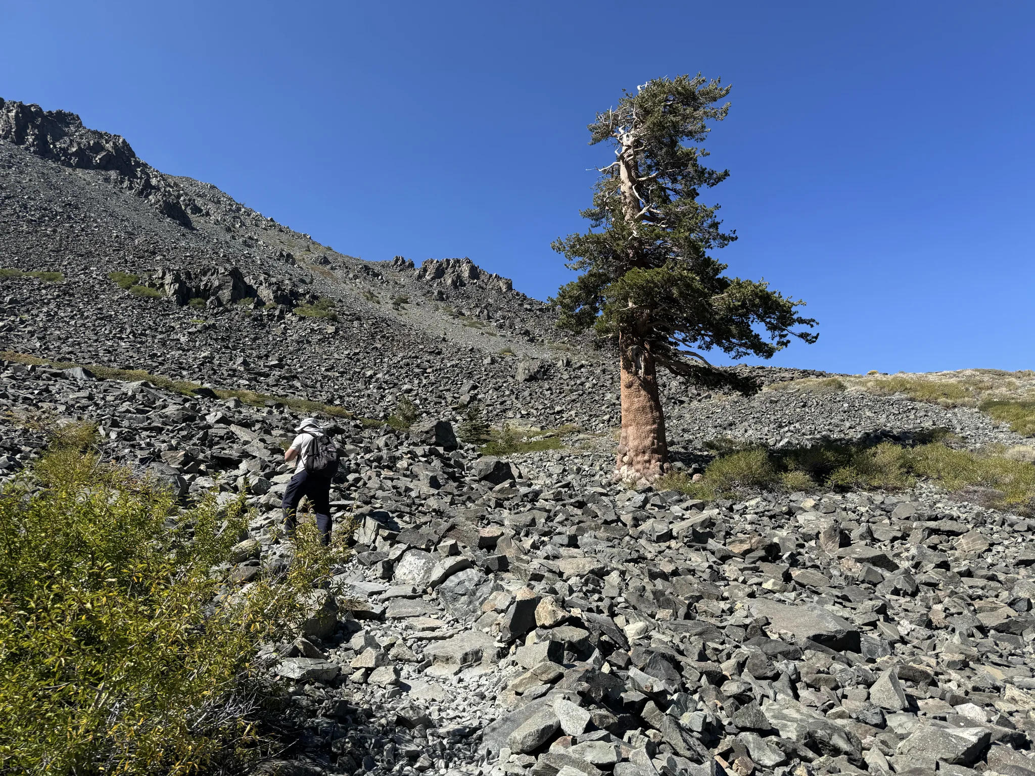
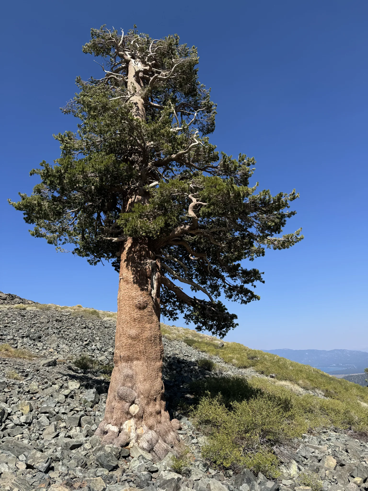
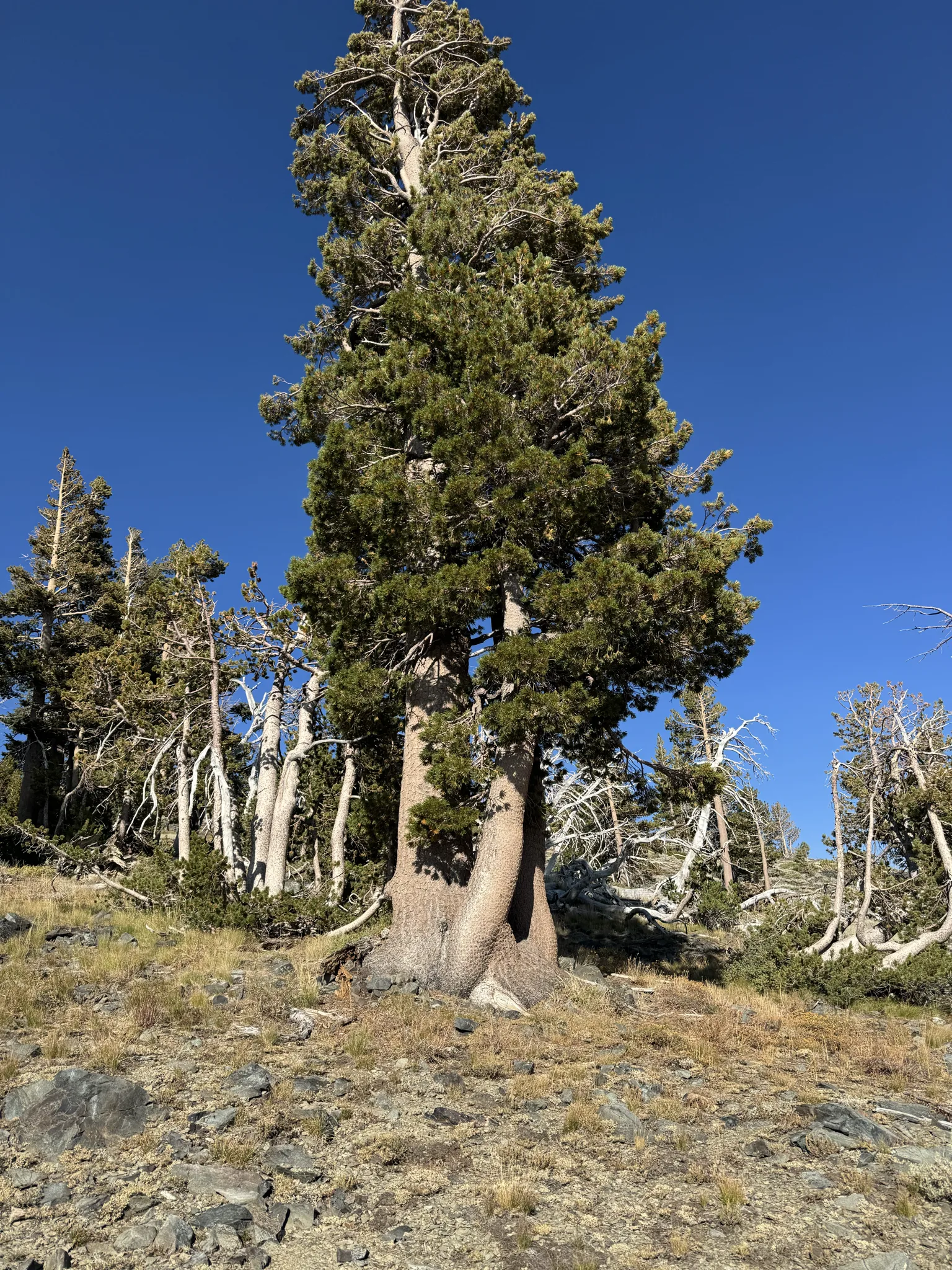
This tree has a super strong trunk out of necessity. It appears to have to withstand some very strong winds.
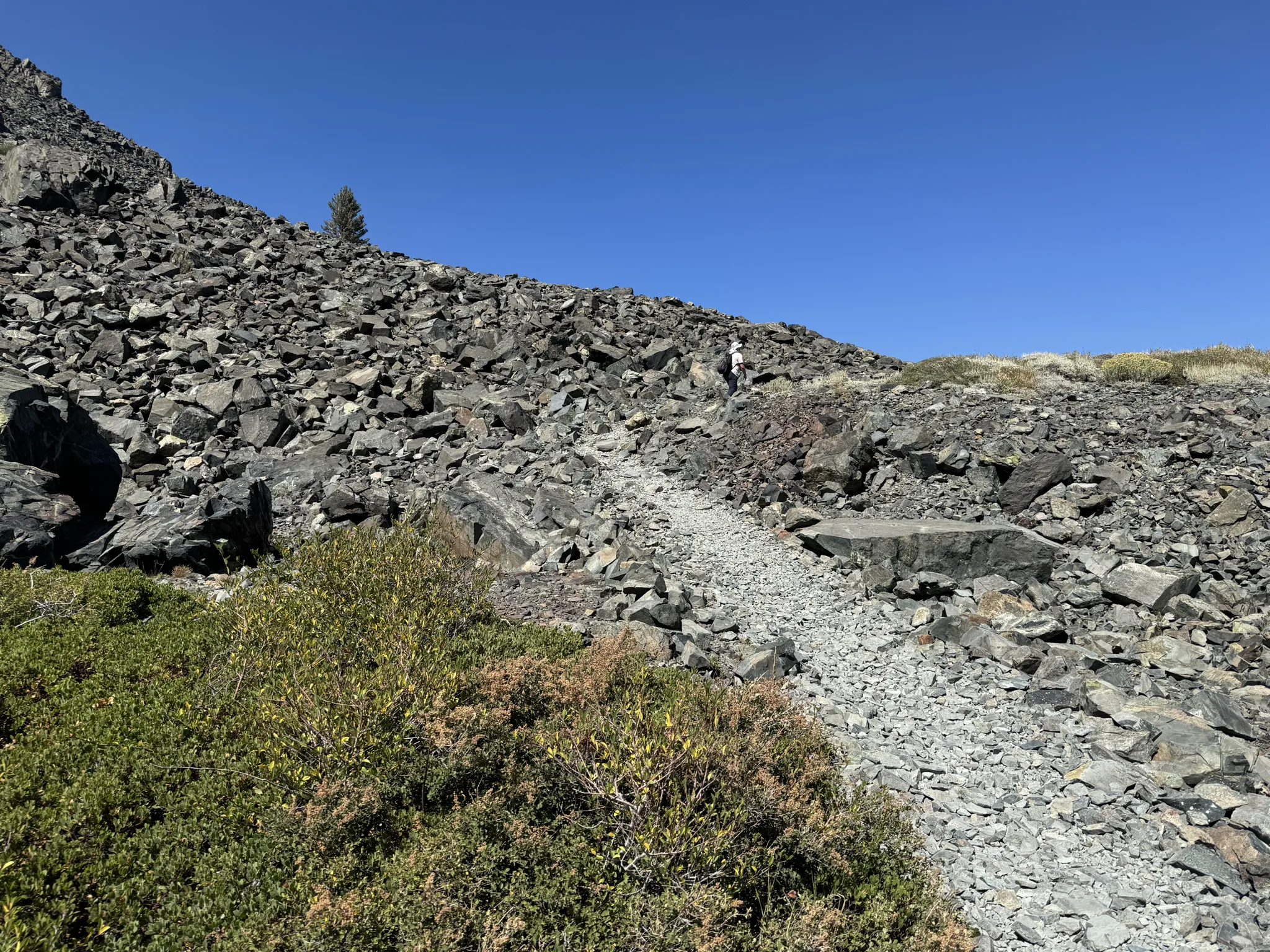
At this point we are going to be going up steep rocks. The trail is sometimes hard to decypher but we manage to always find it.
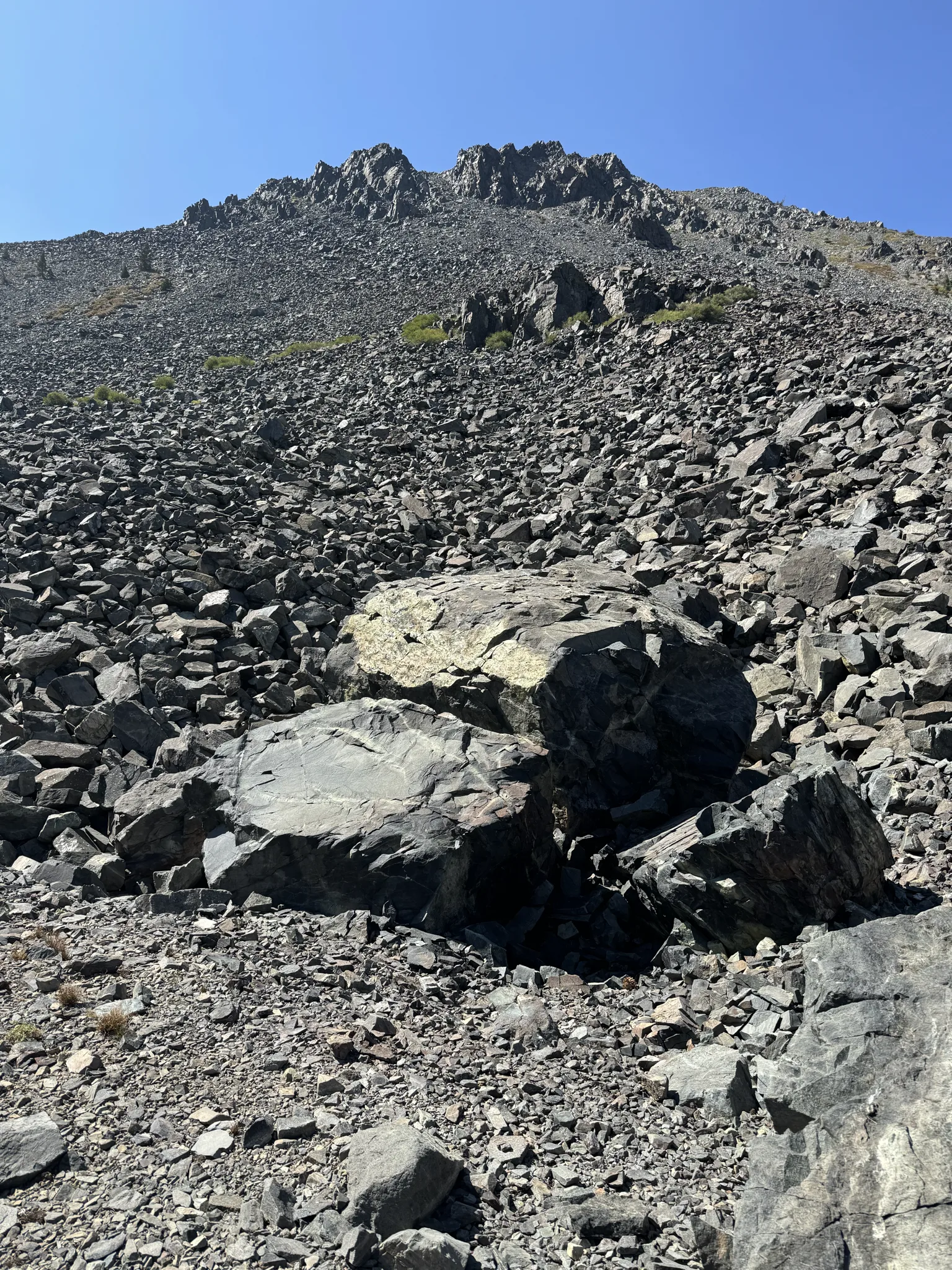
Looking back down at that tree.
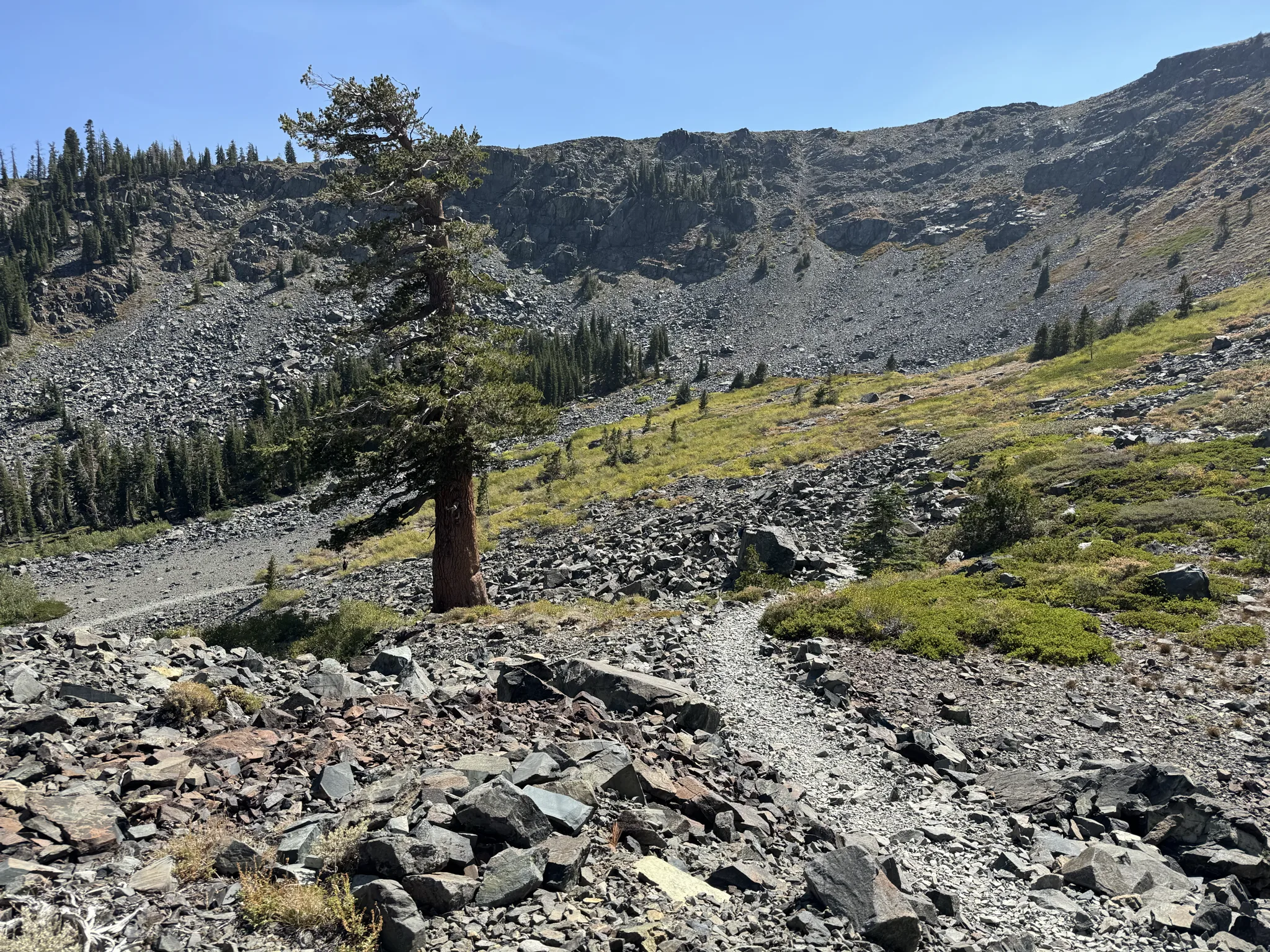
Everythng looks big up here.
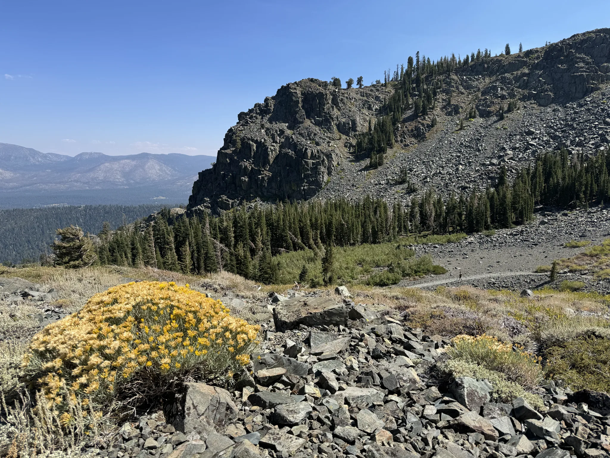
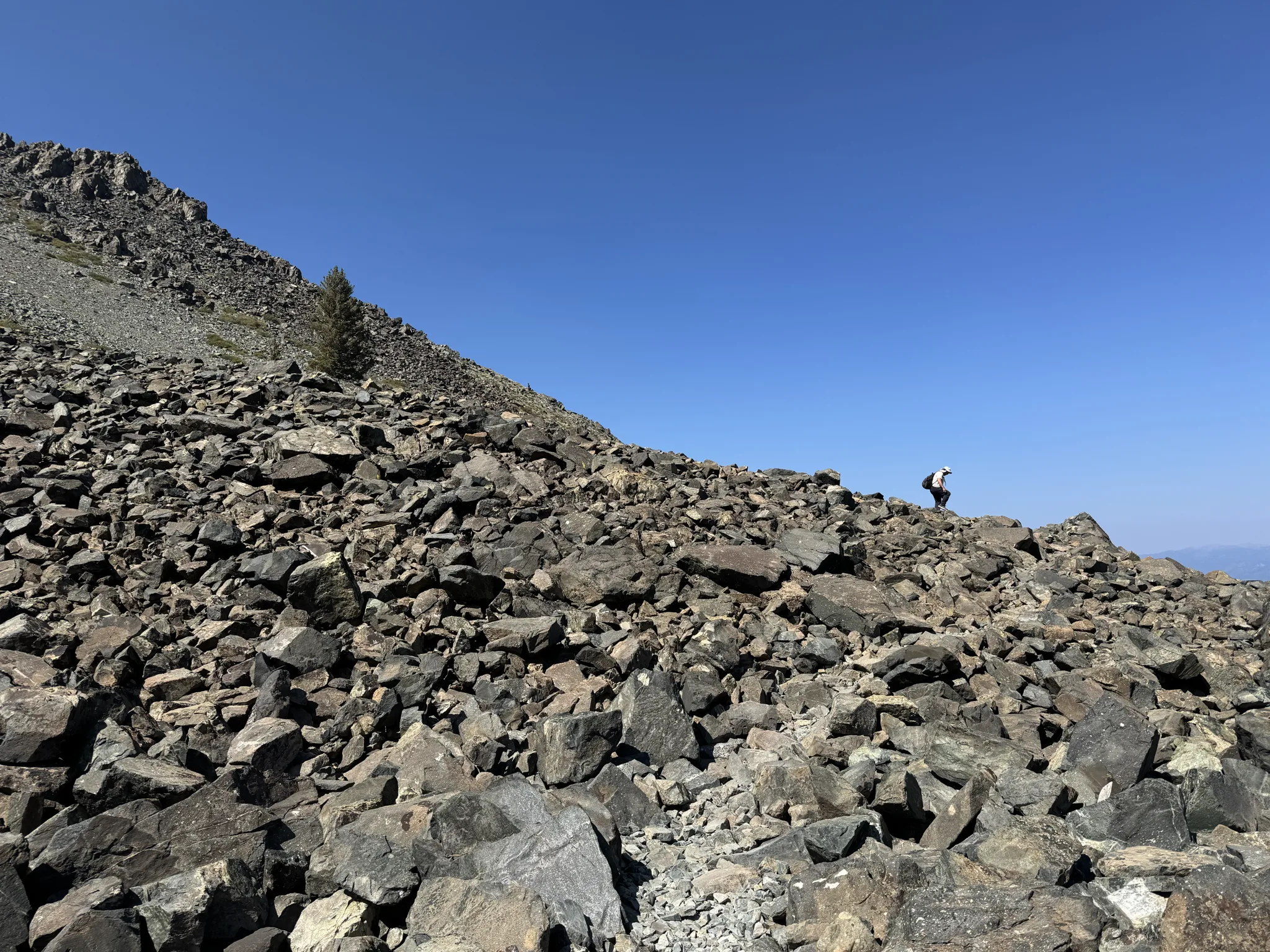
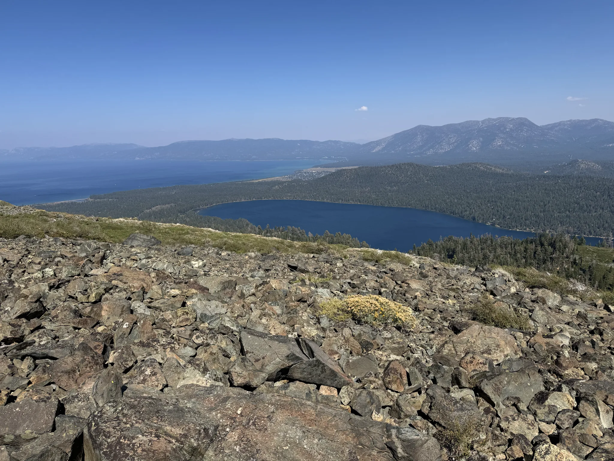
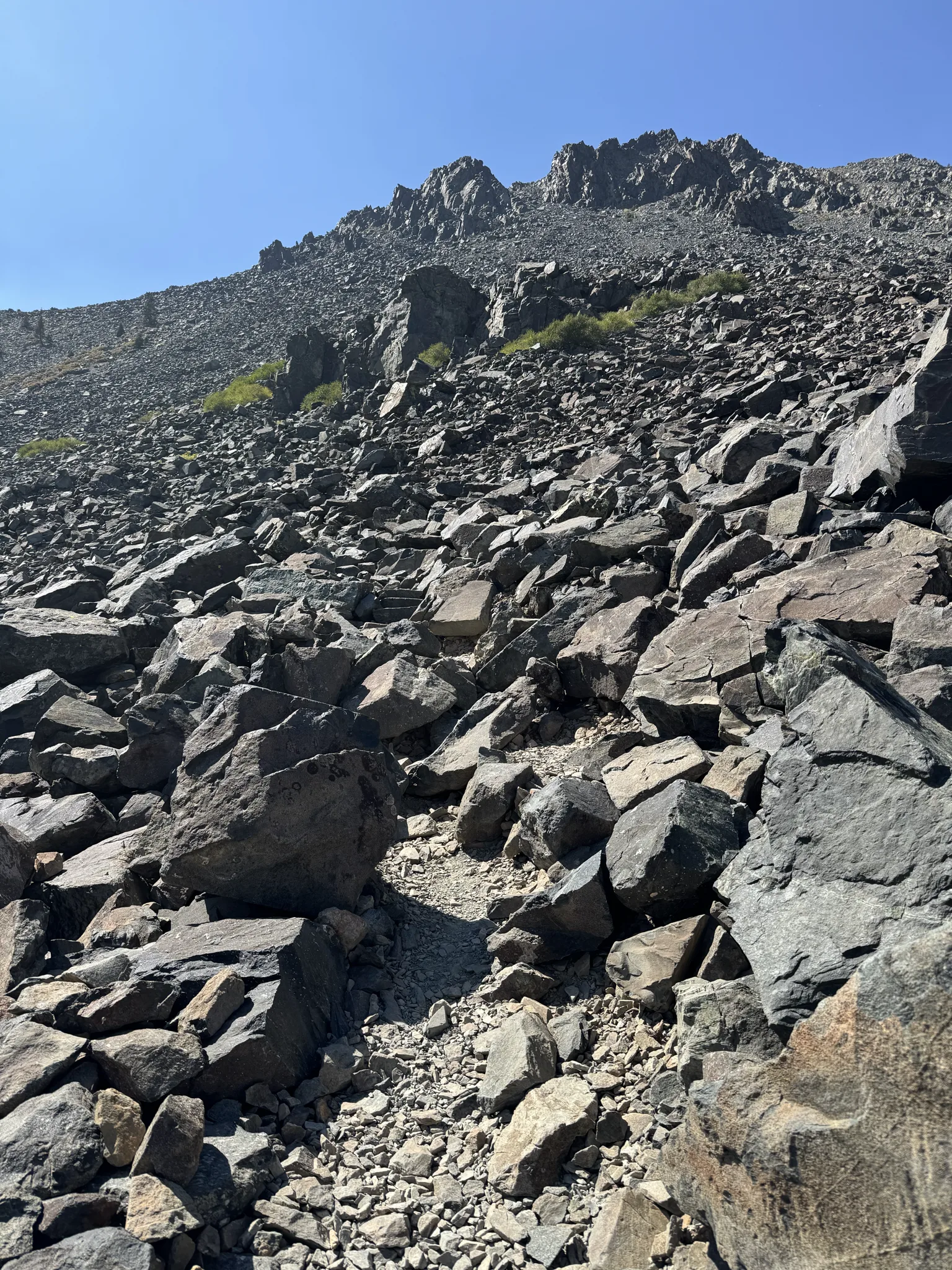
The march continues and our pace is slow but steady. We are really driven to complete the hike to the top, knowing that we also have to hike all of the way back.
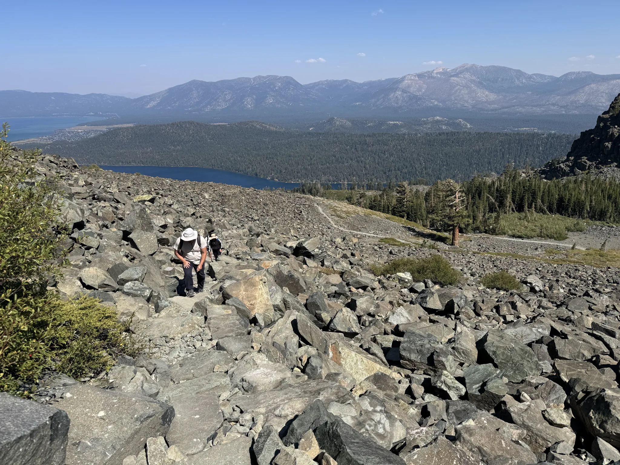
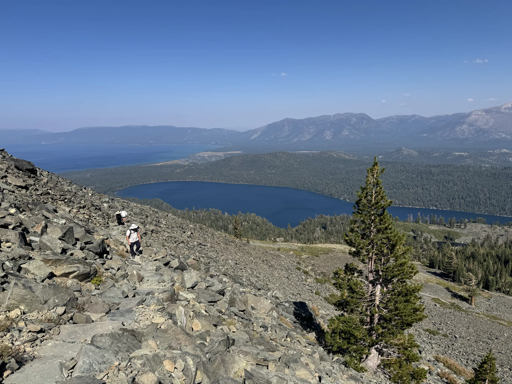
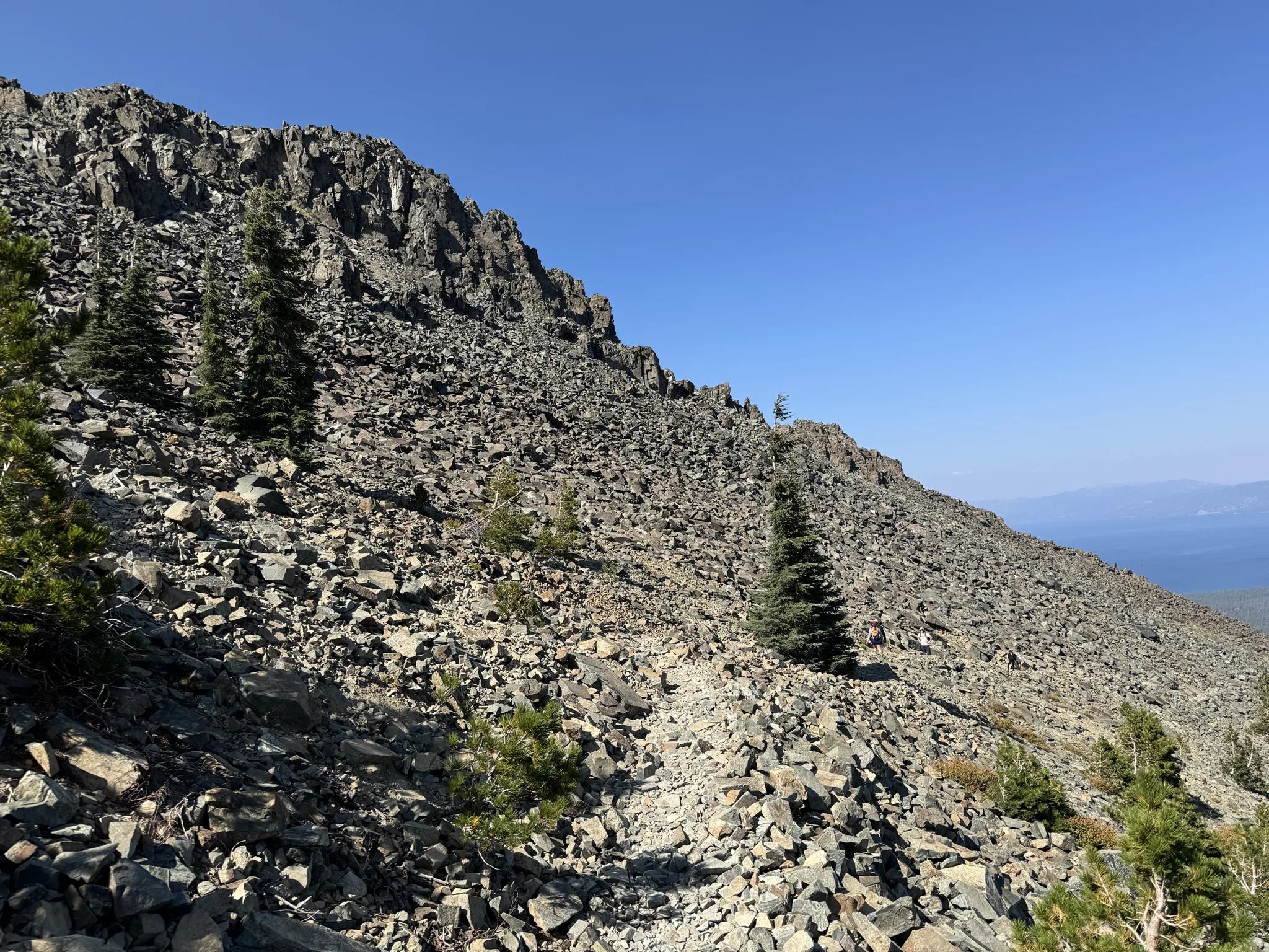
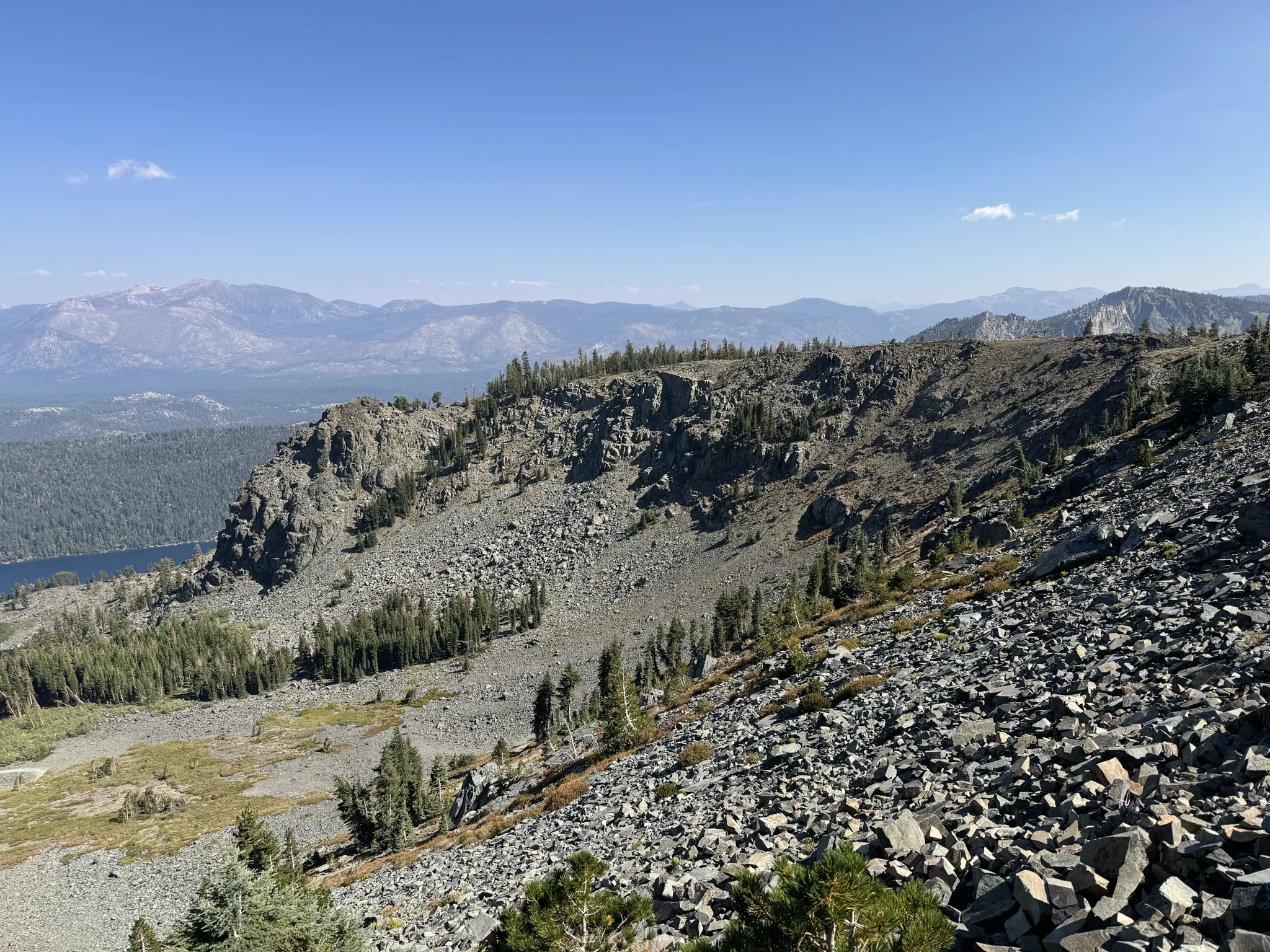
I capture shots of the world around us.
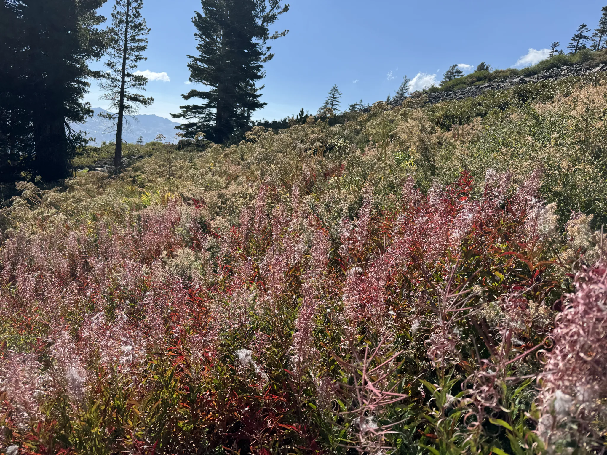
Ying notices these beautiful red plants.
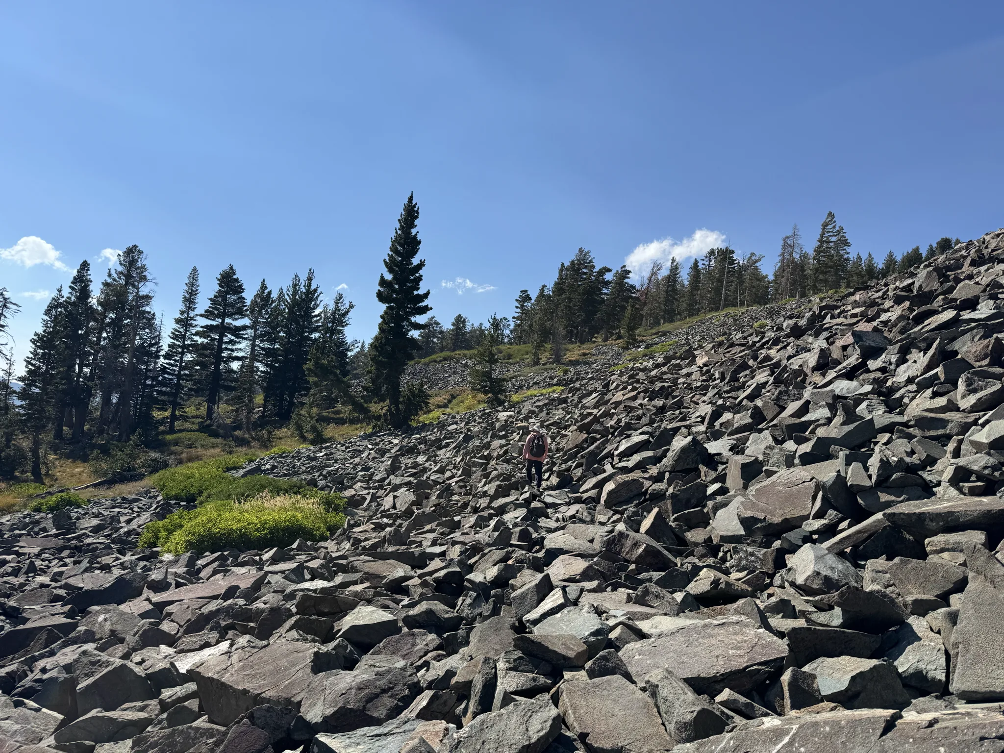
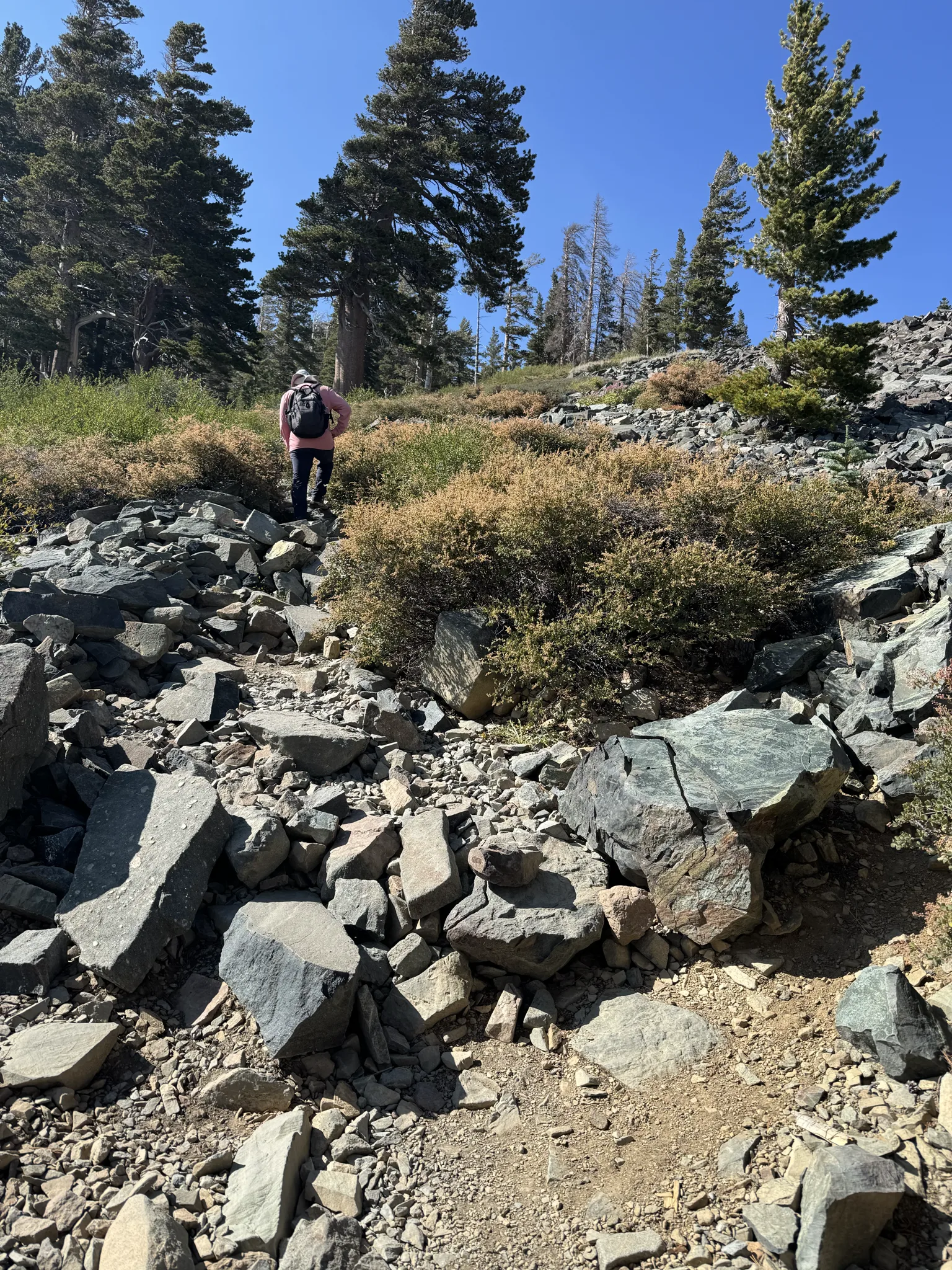
In places, the hike is steep.
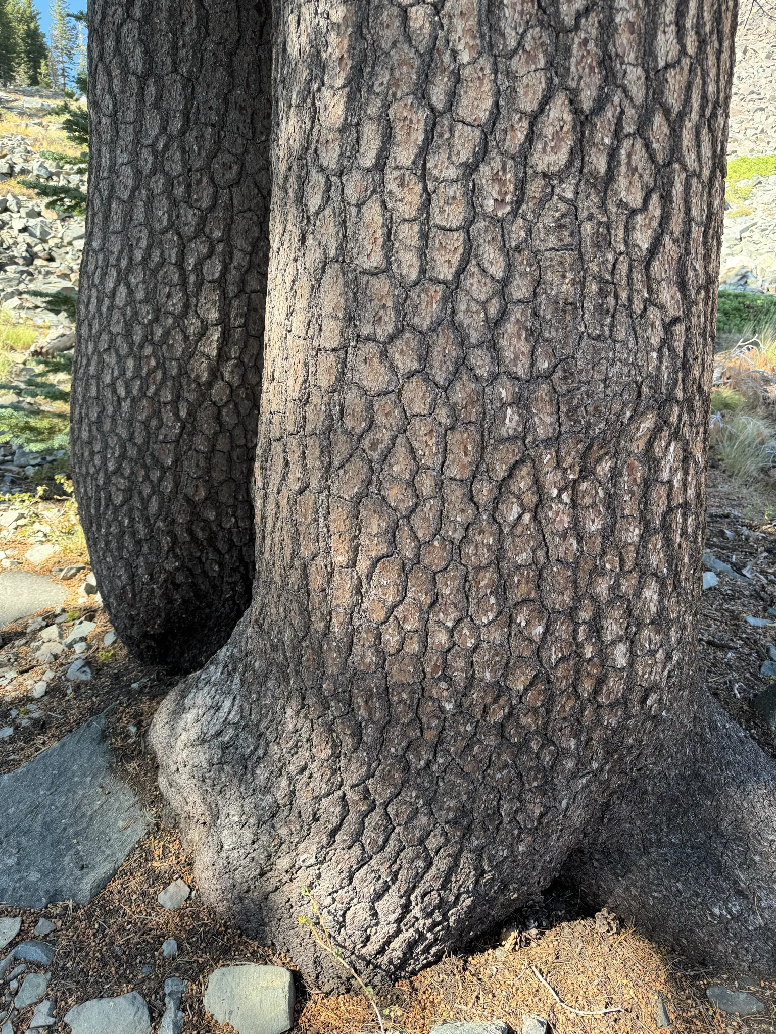
I found it interesting how this pair of trees seemed to embrace.
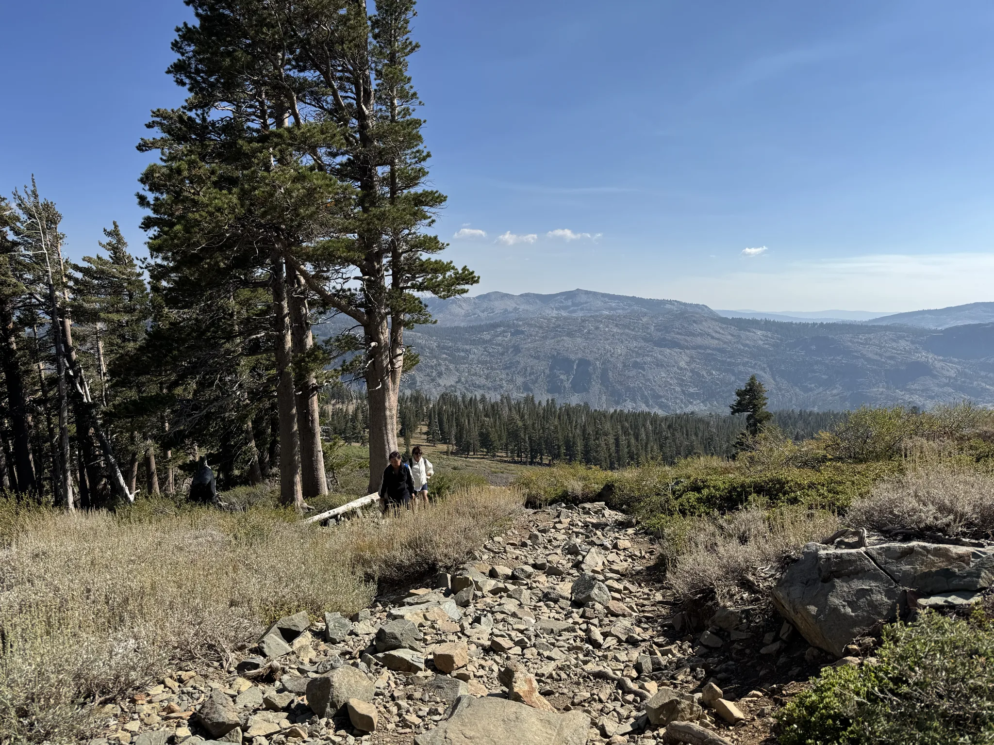
Just lots of uphill hiking.
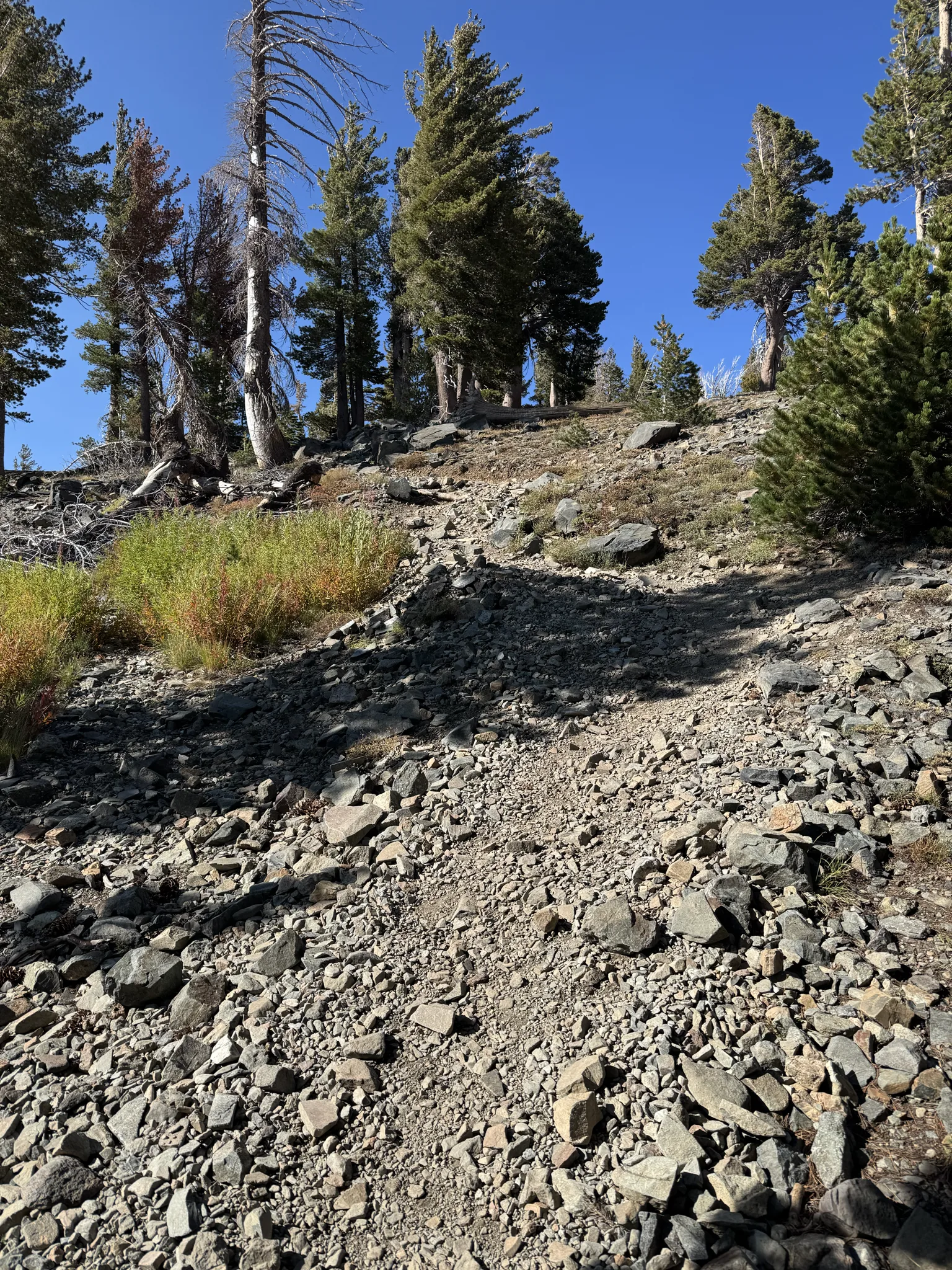
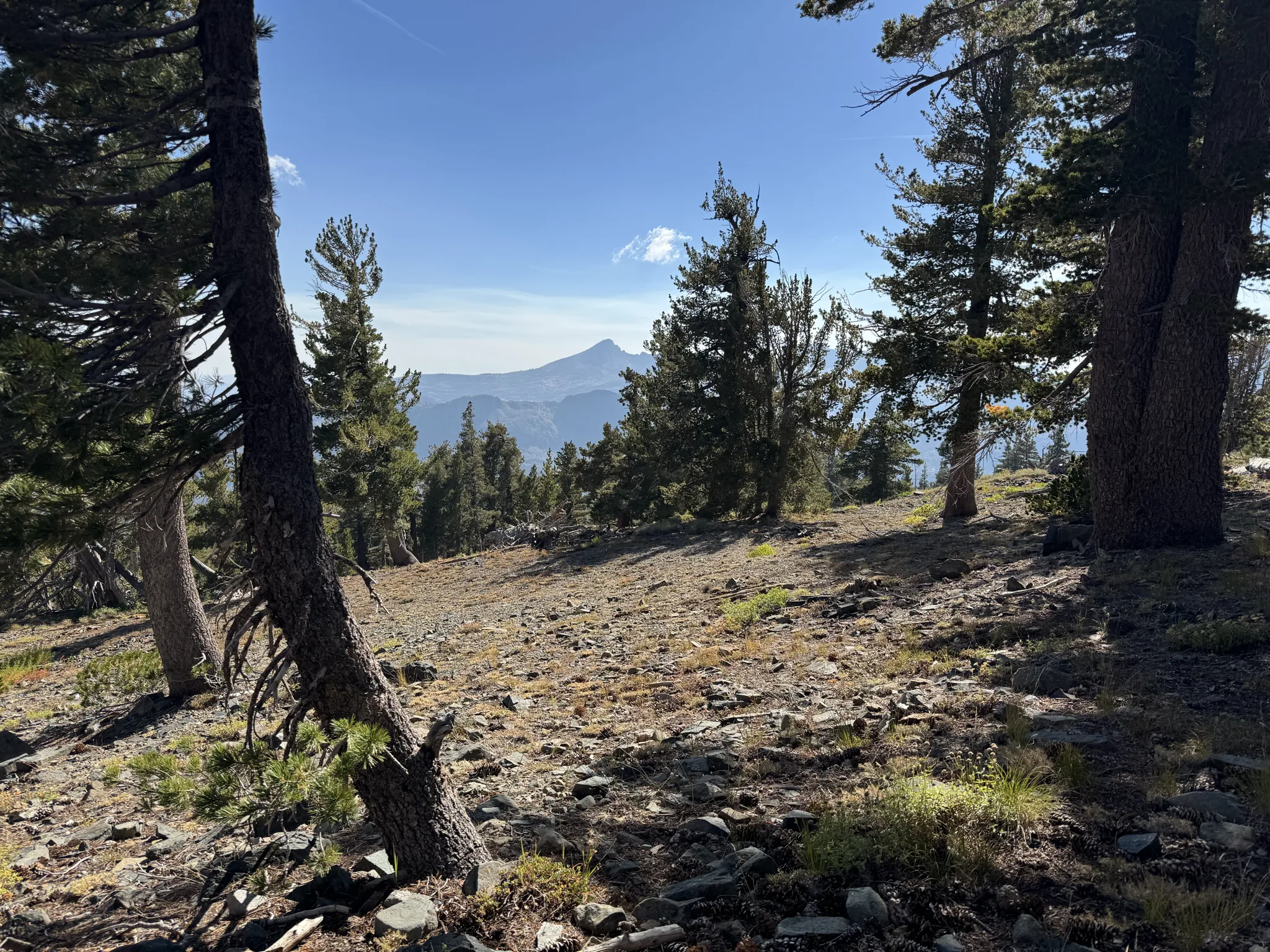
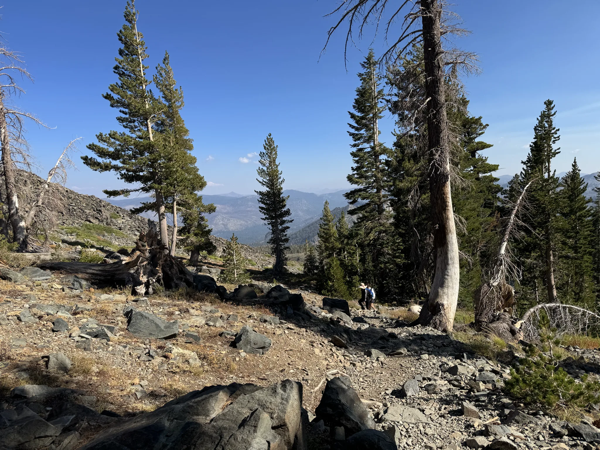
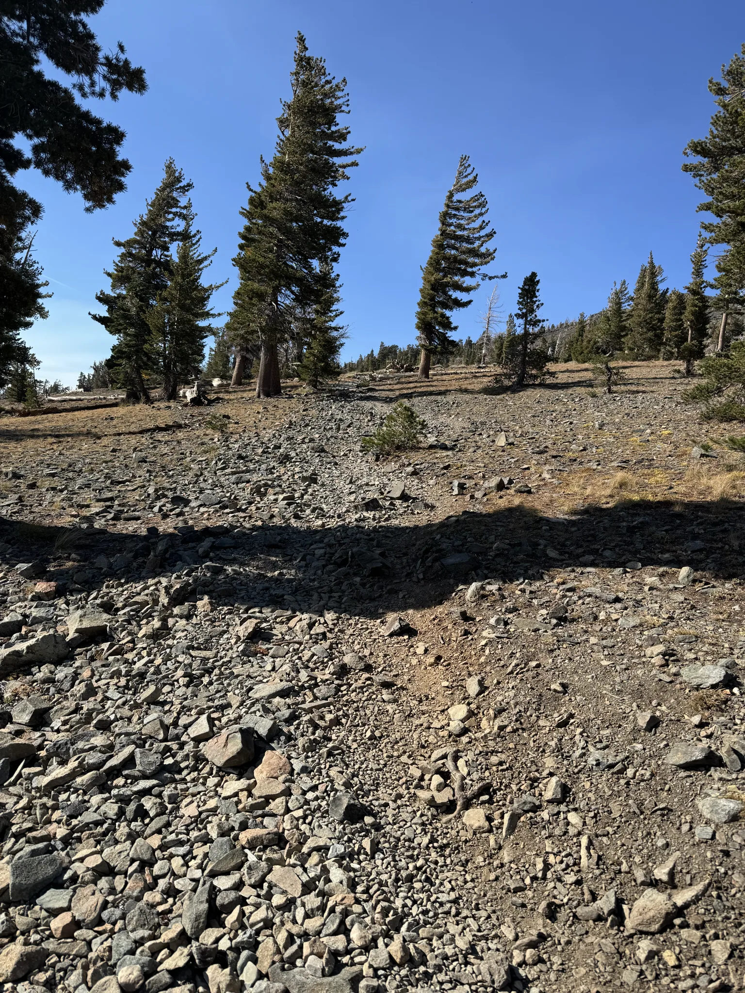
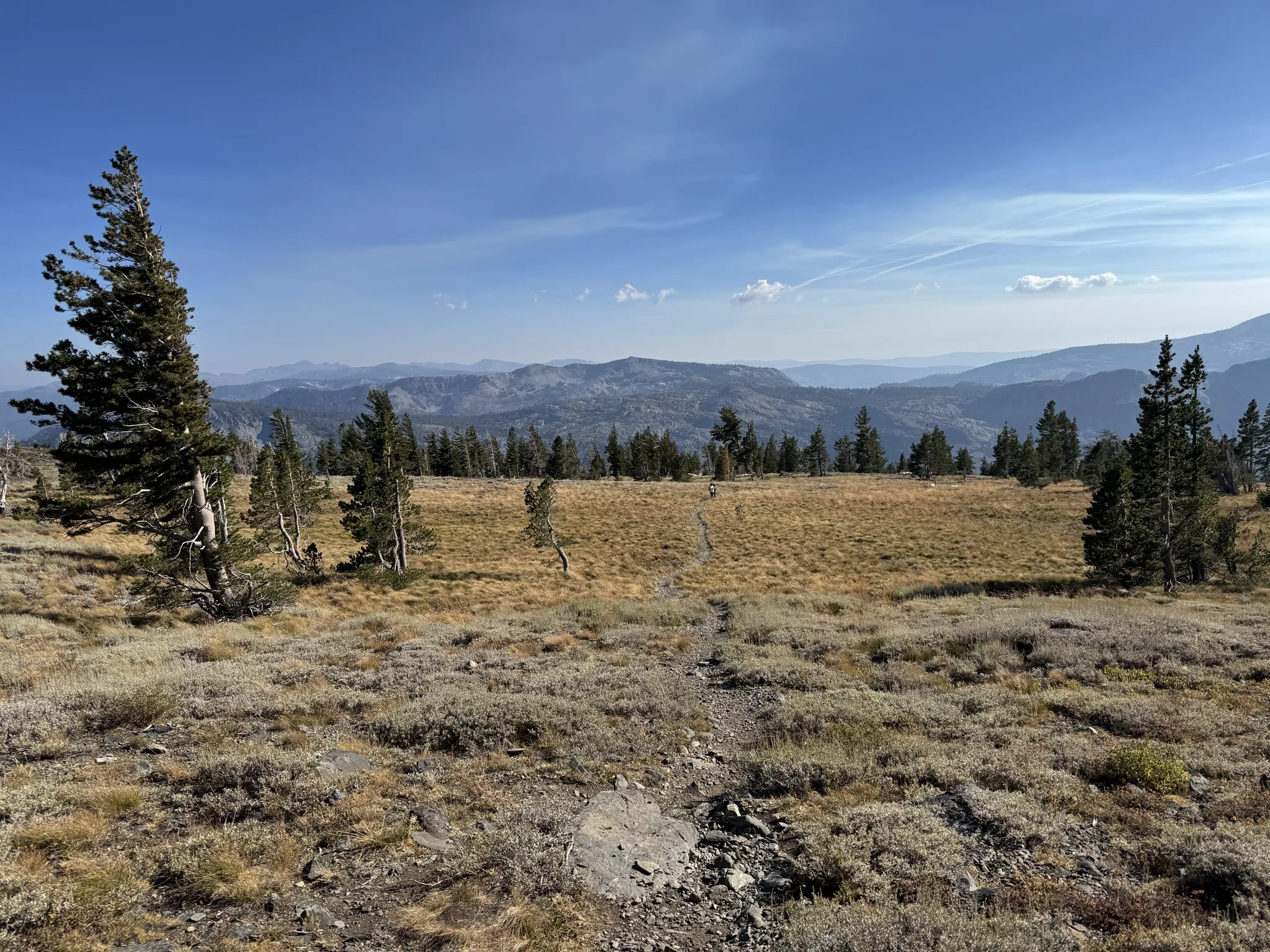
Until we run across an open flat area which is a short break for the upcoming final uphill hiking to reach the top.
The final uphill.
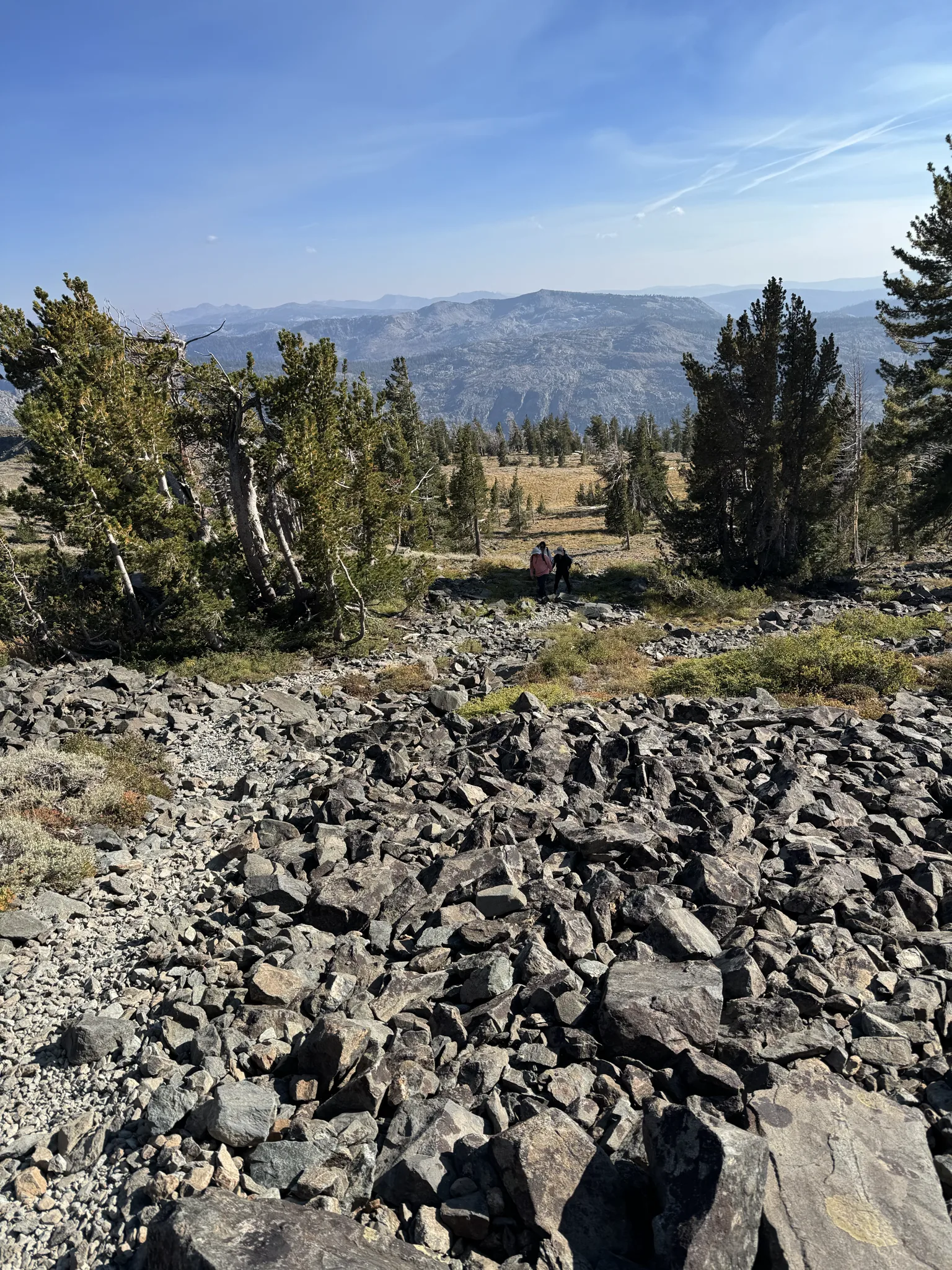
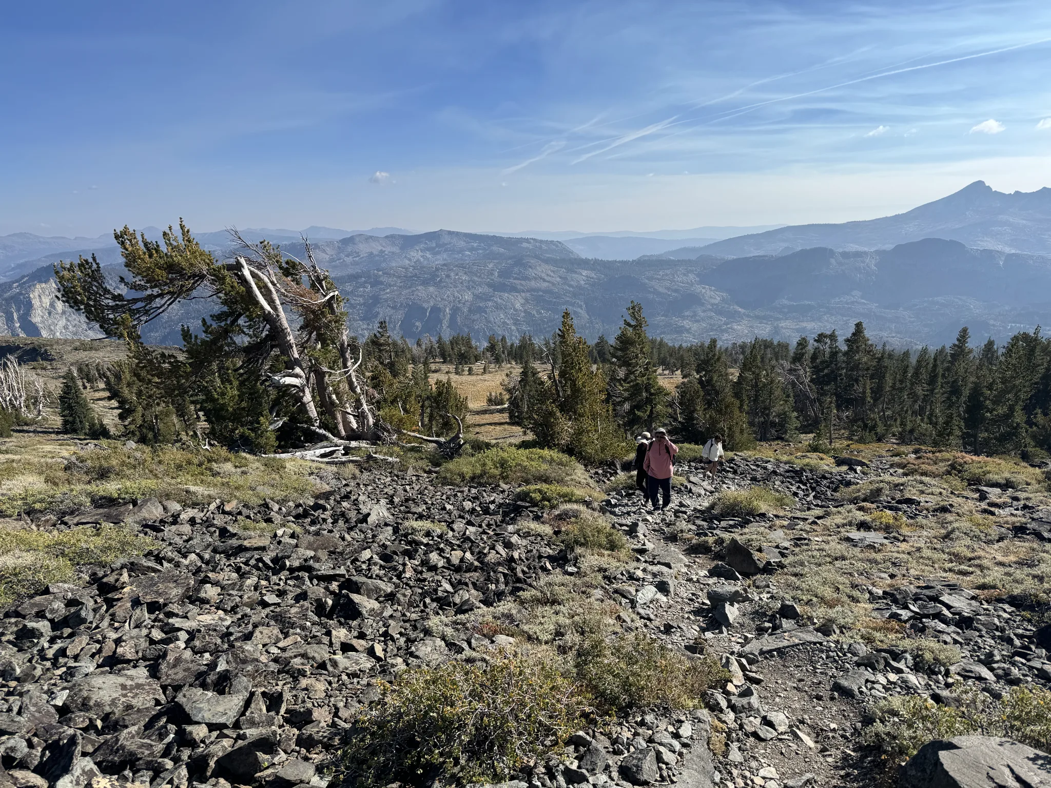
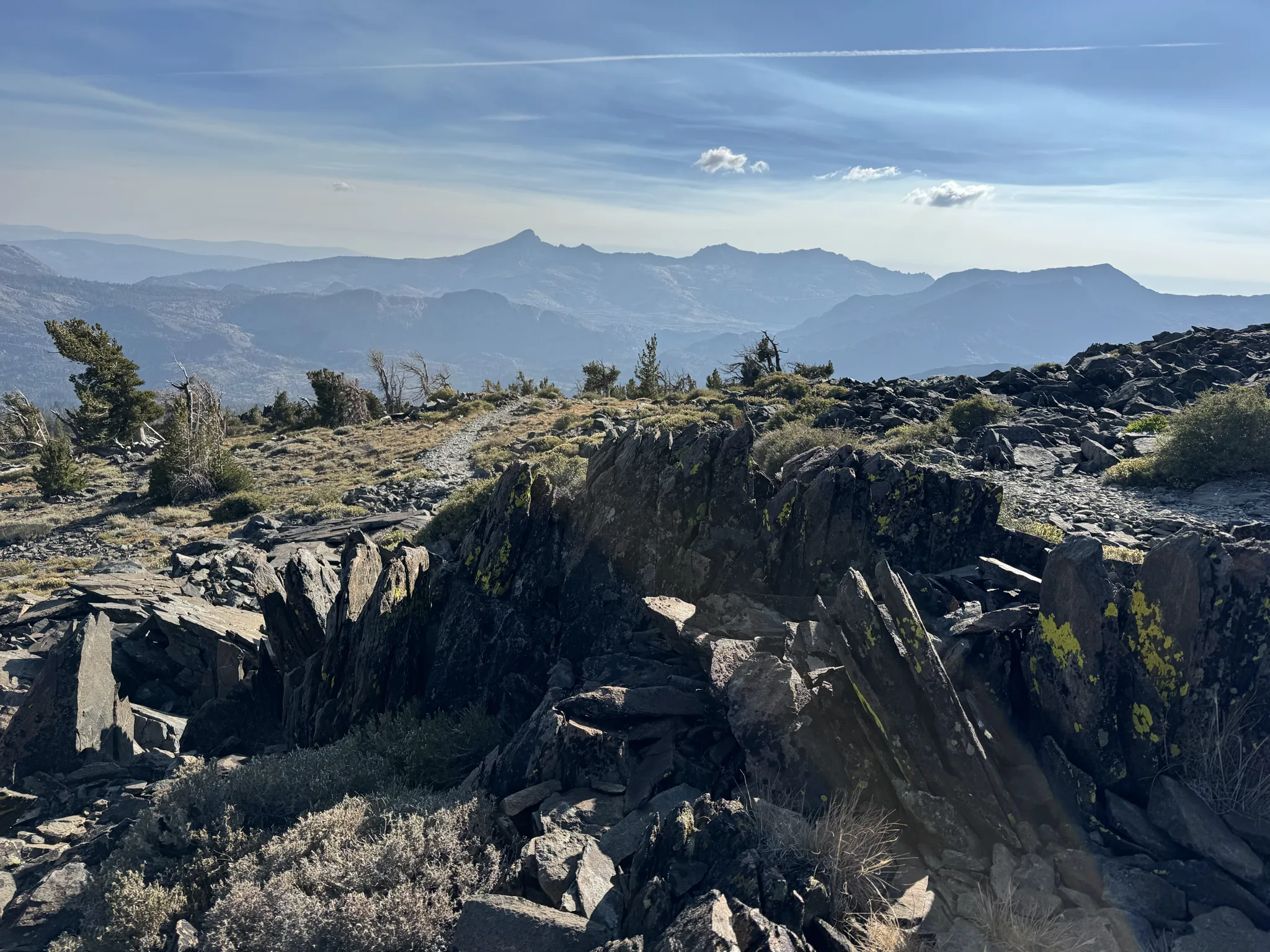
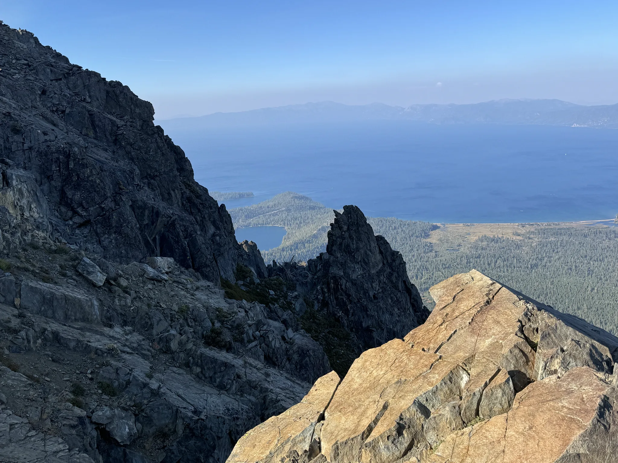
This is a view from the farthest up we can go. The group determines that the higher part is much too steep and dangerous and that we are likely at the expected destination.
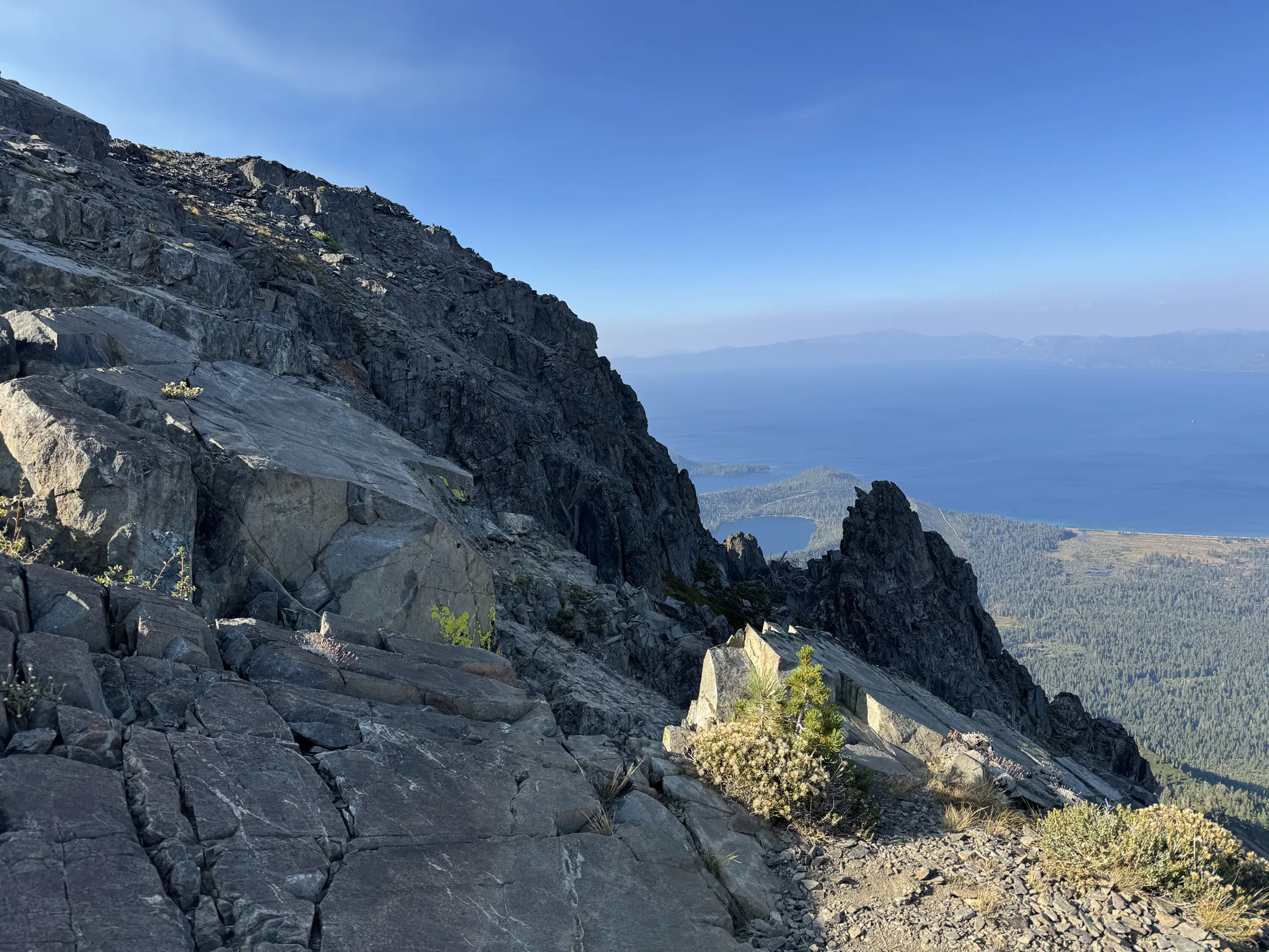
We enjoy the view and take photos.
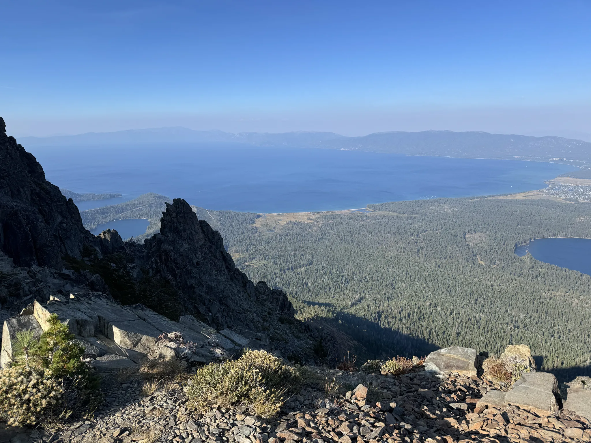
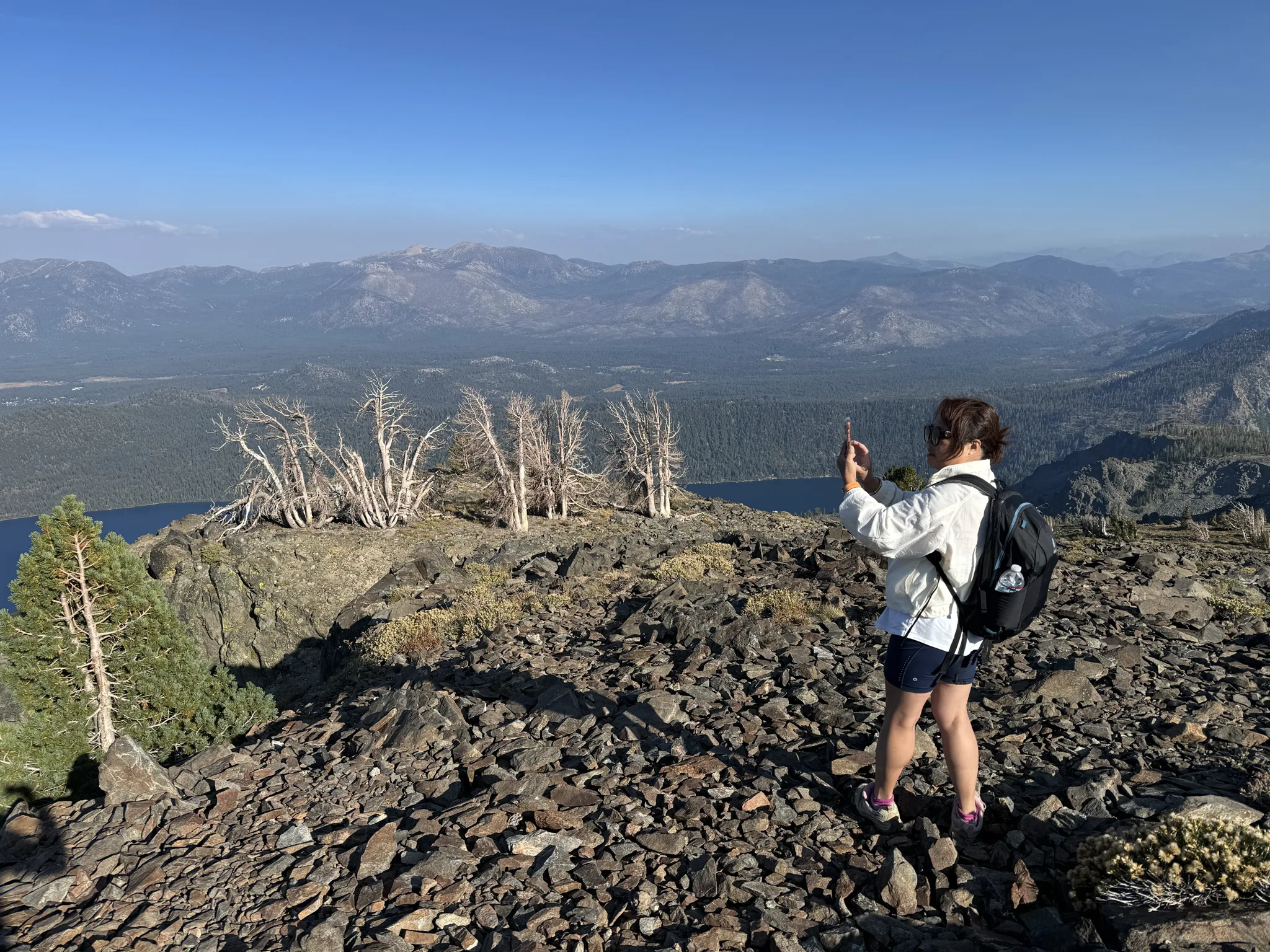
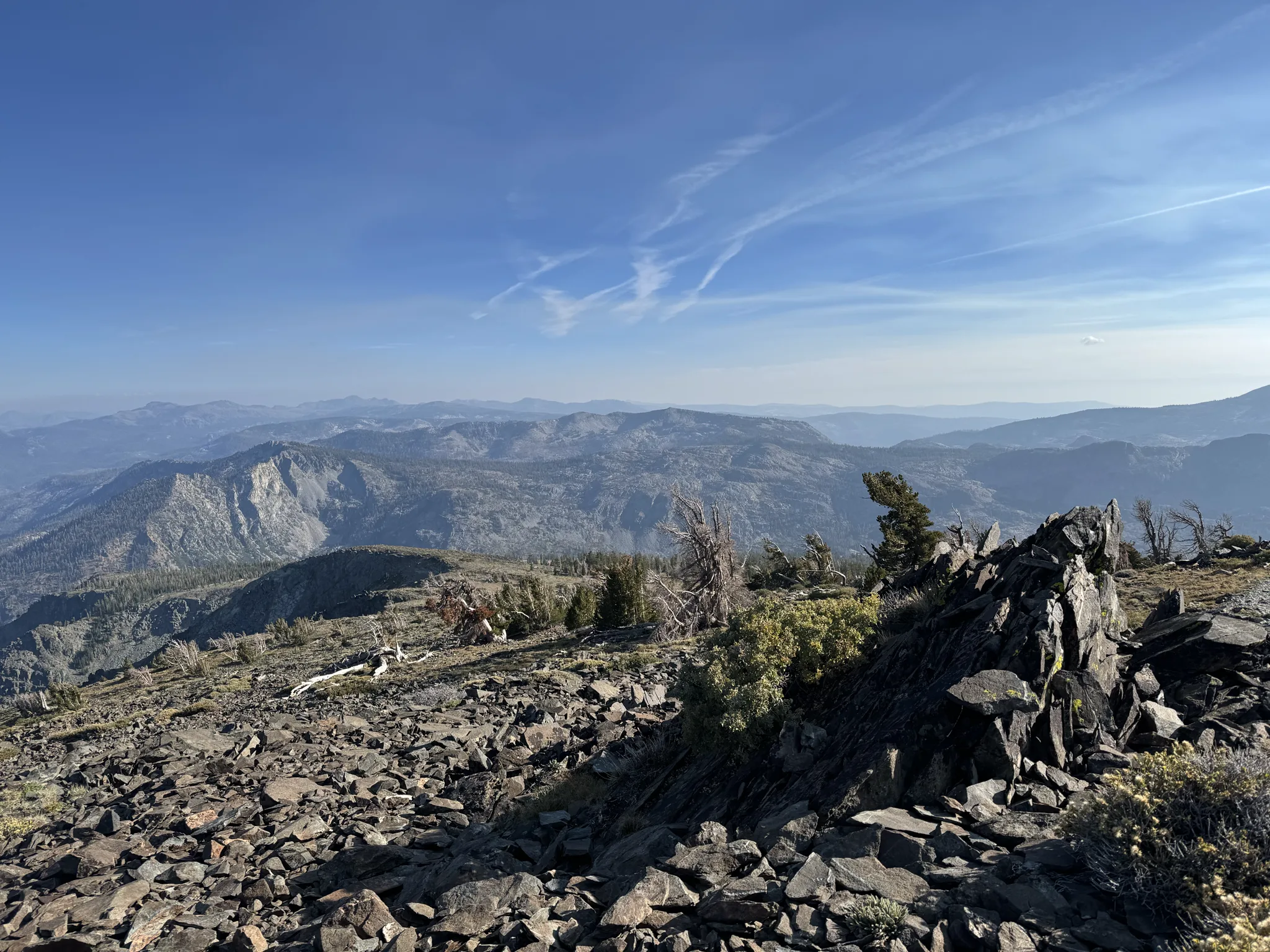
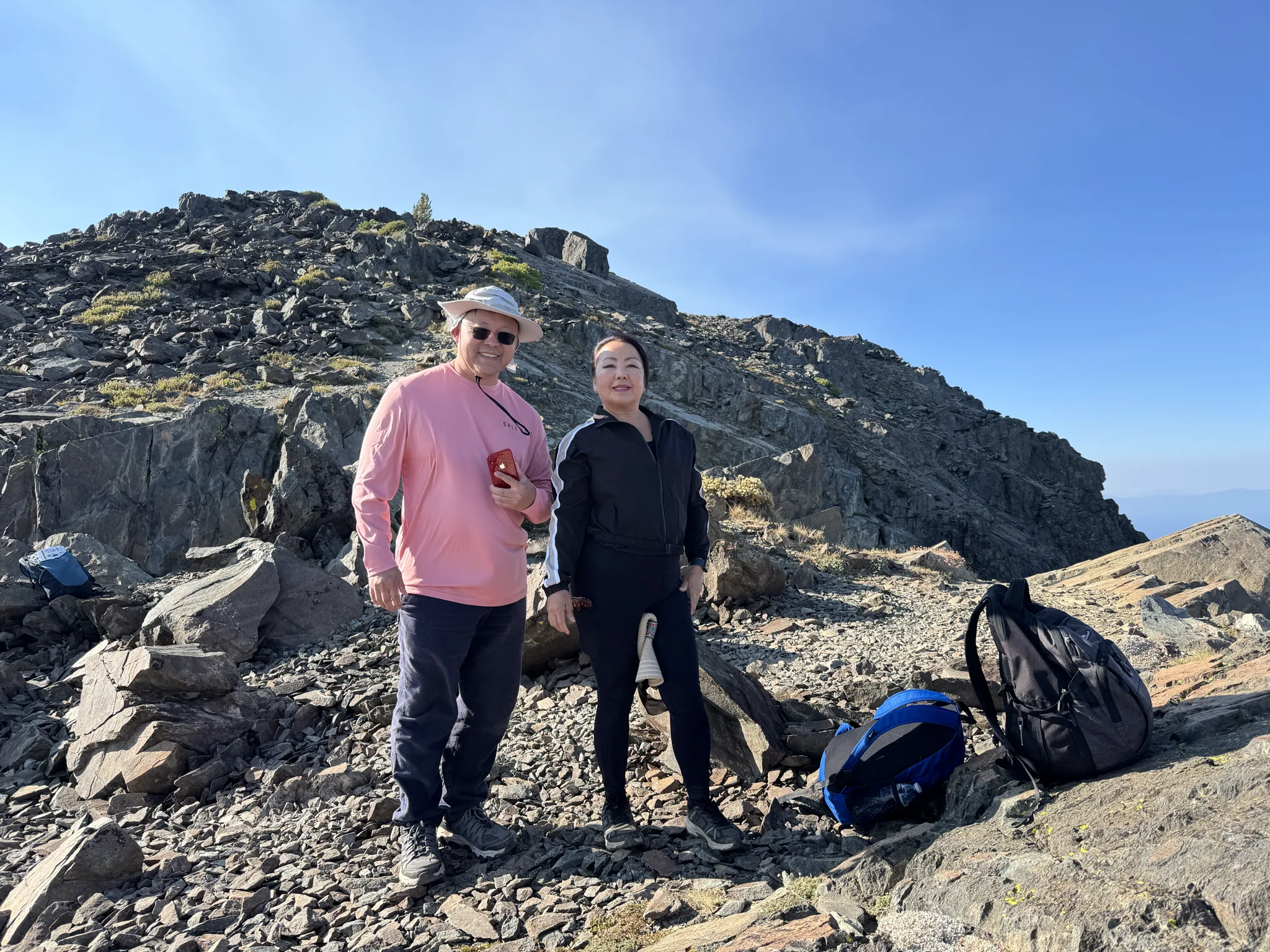
Steve and Mai.
Ying and I.
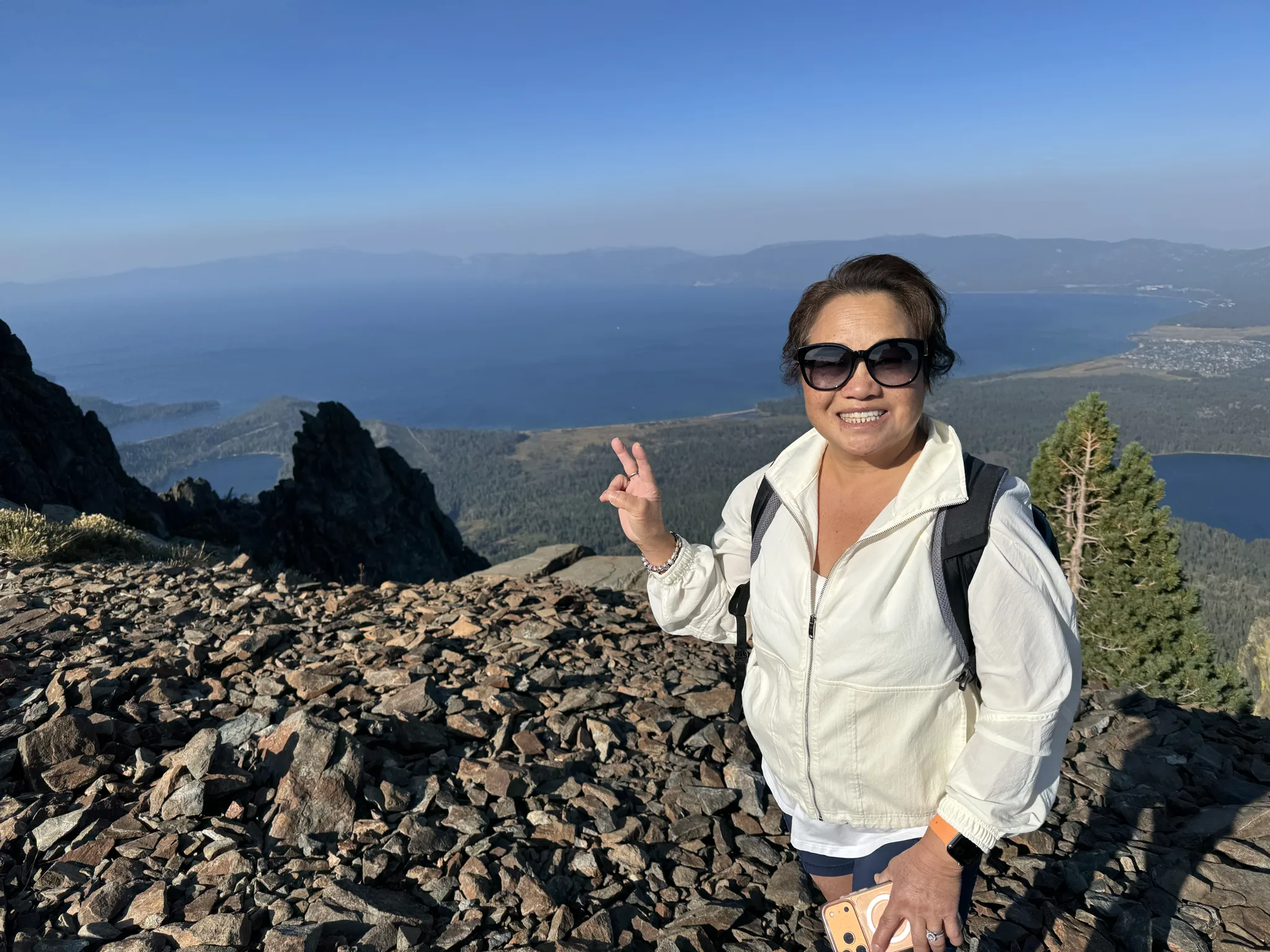
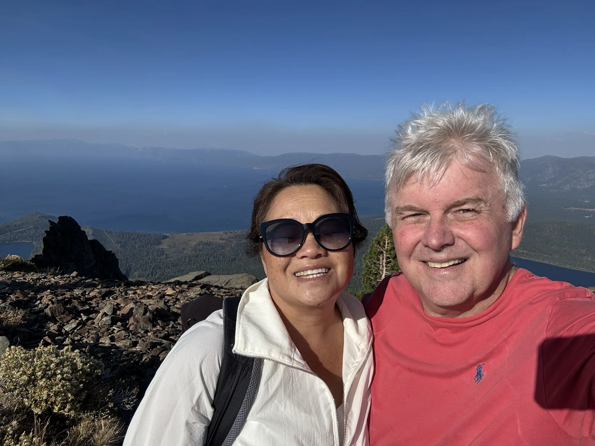
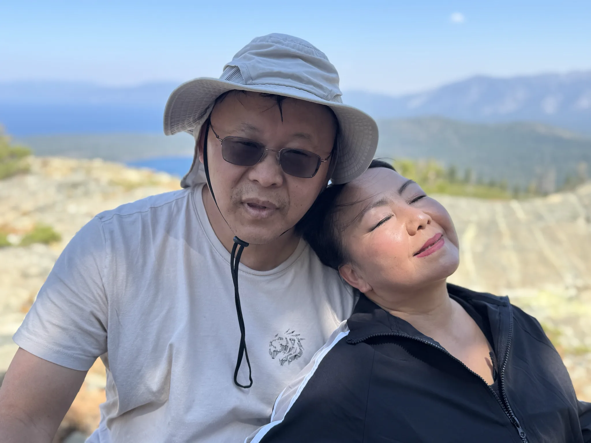
We take husband and wife photos.
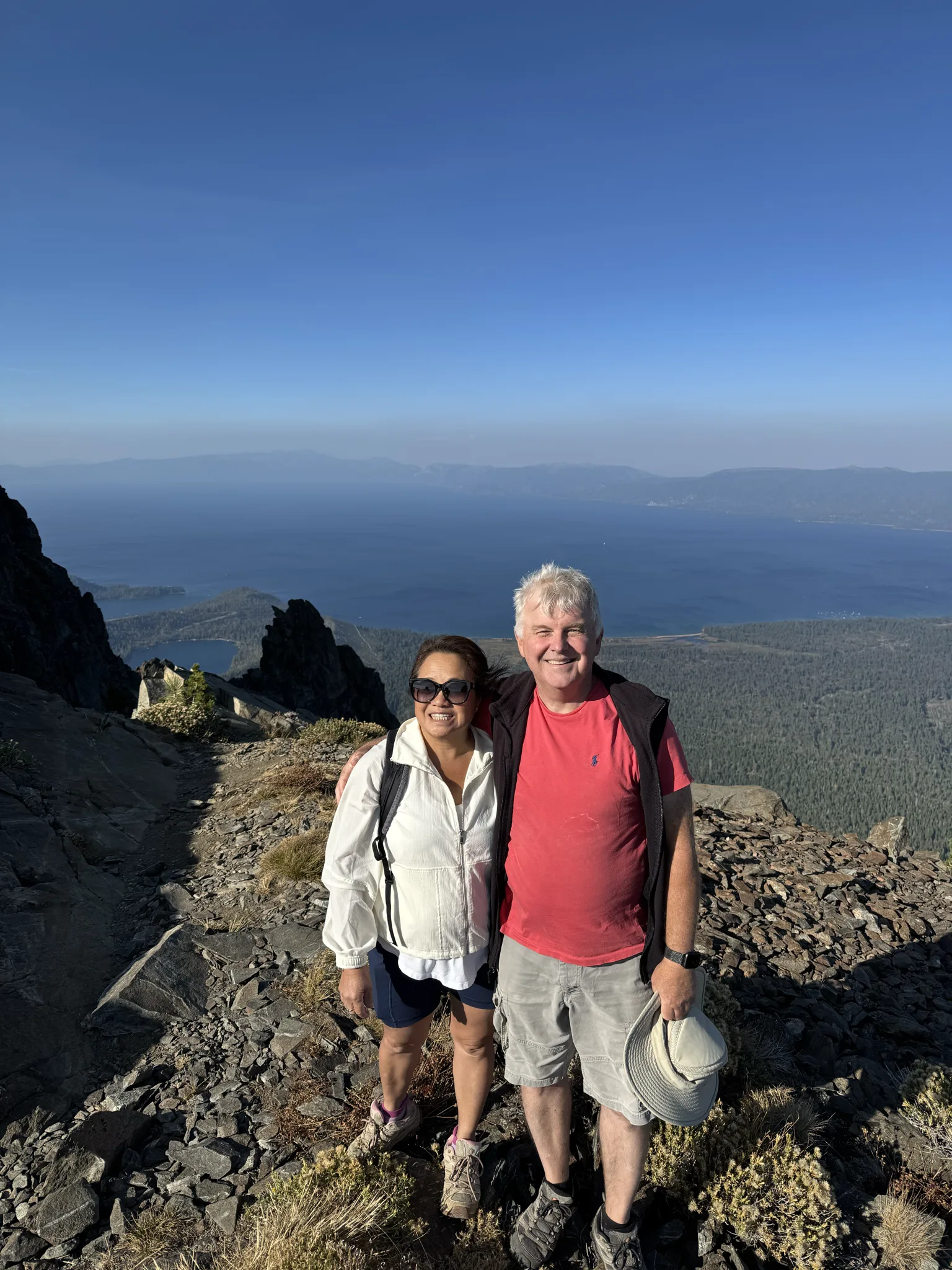
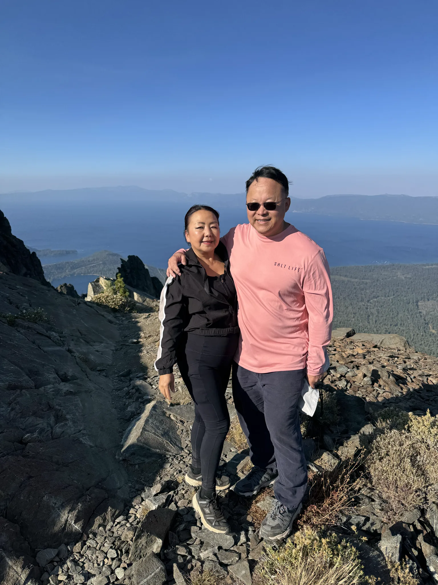
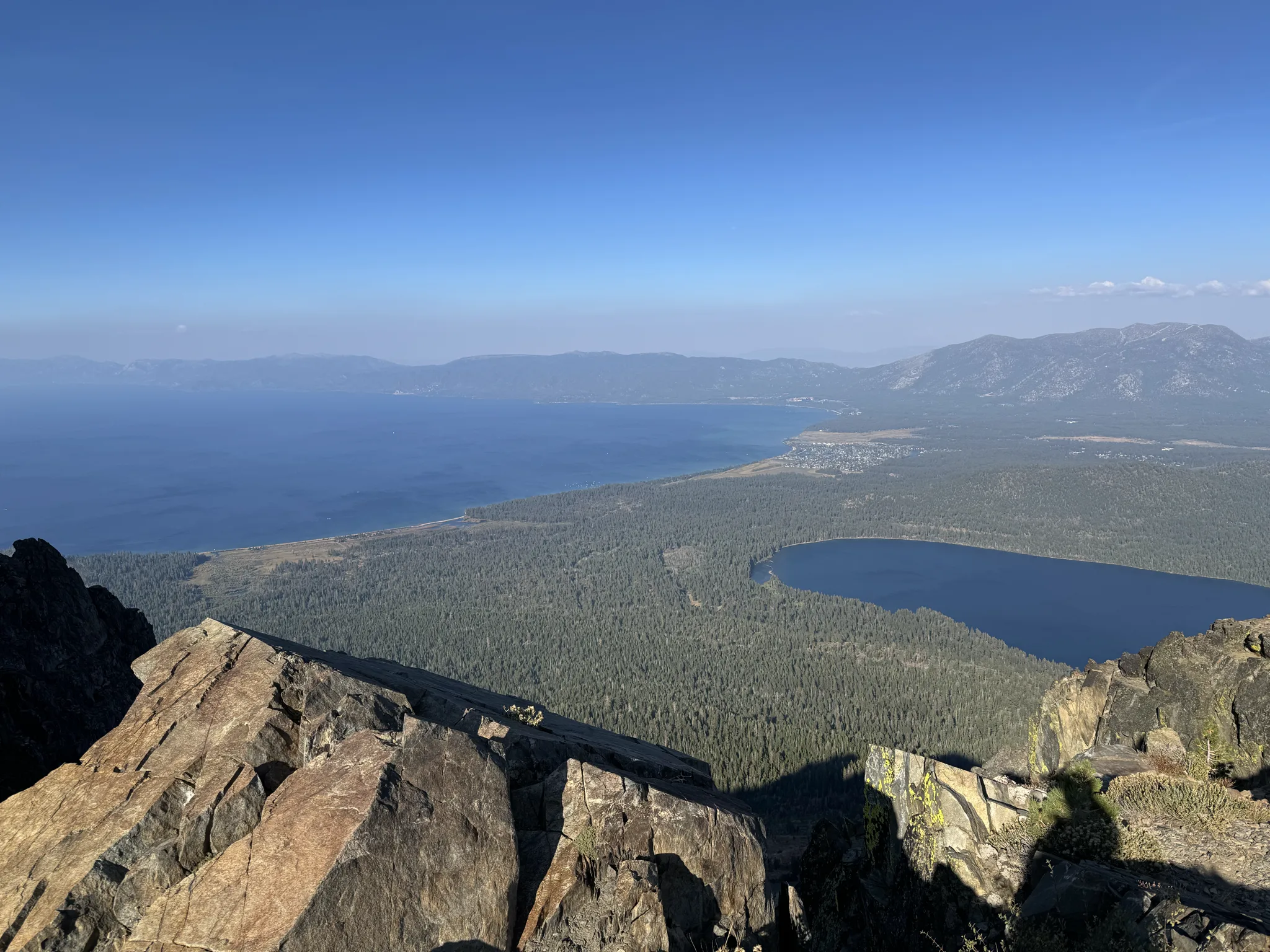
We are really high up.
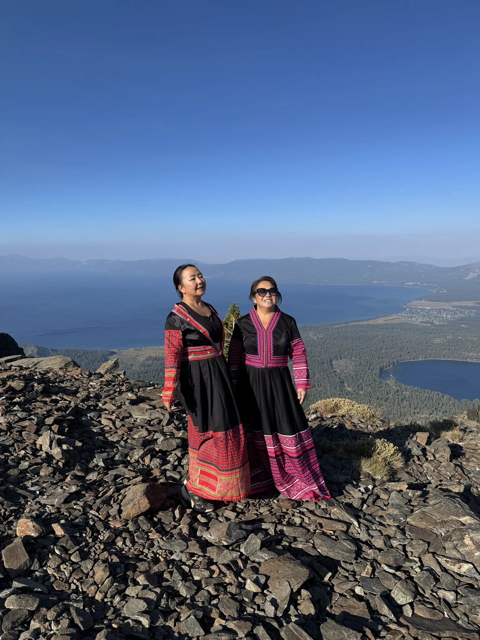
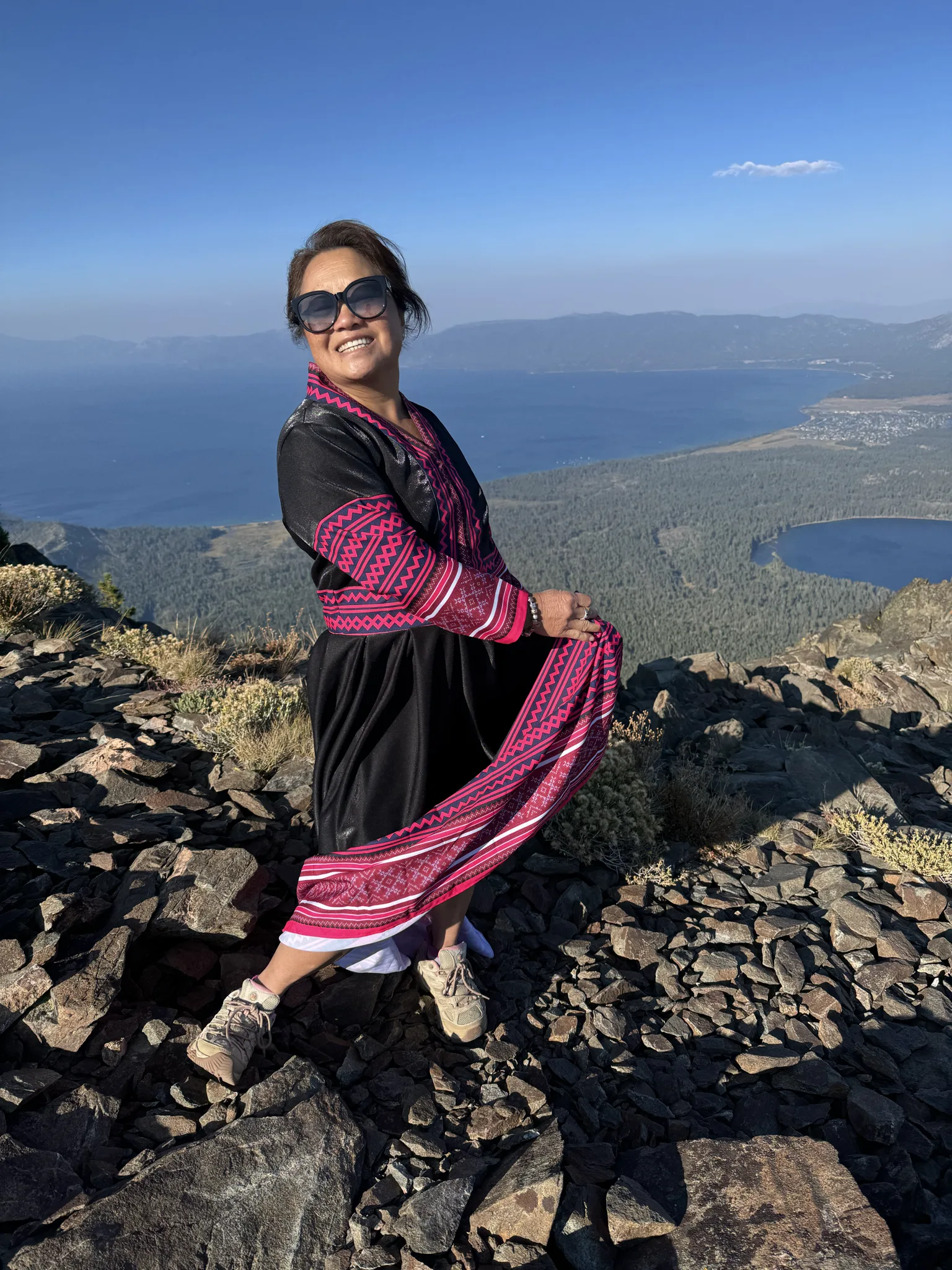
The girls brought traditional Hmong clothing for photos at the top.
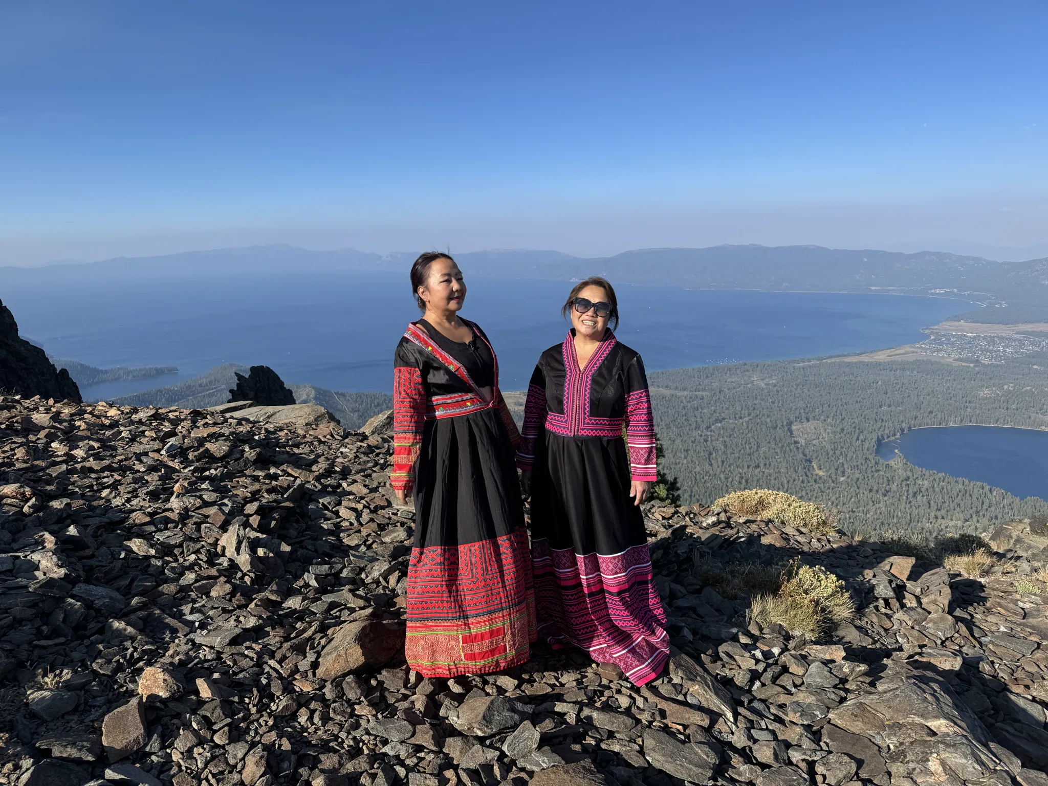
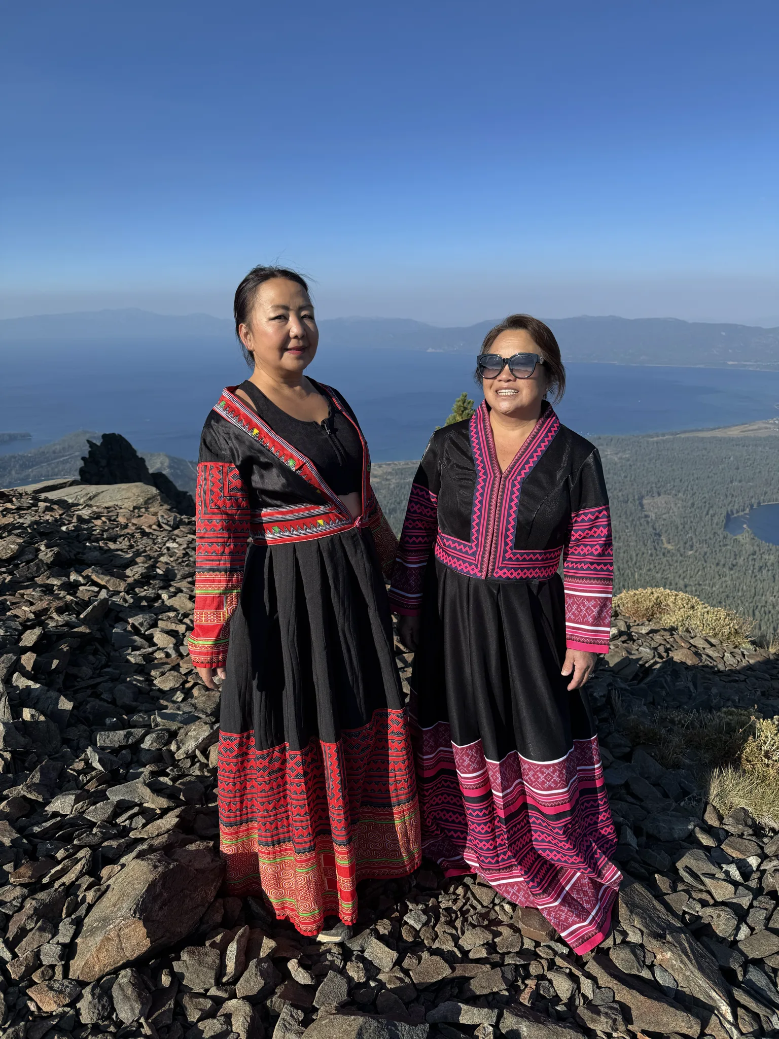
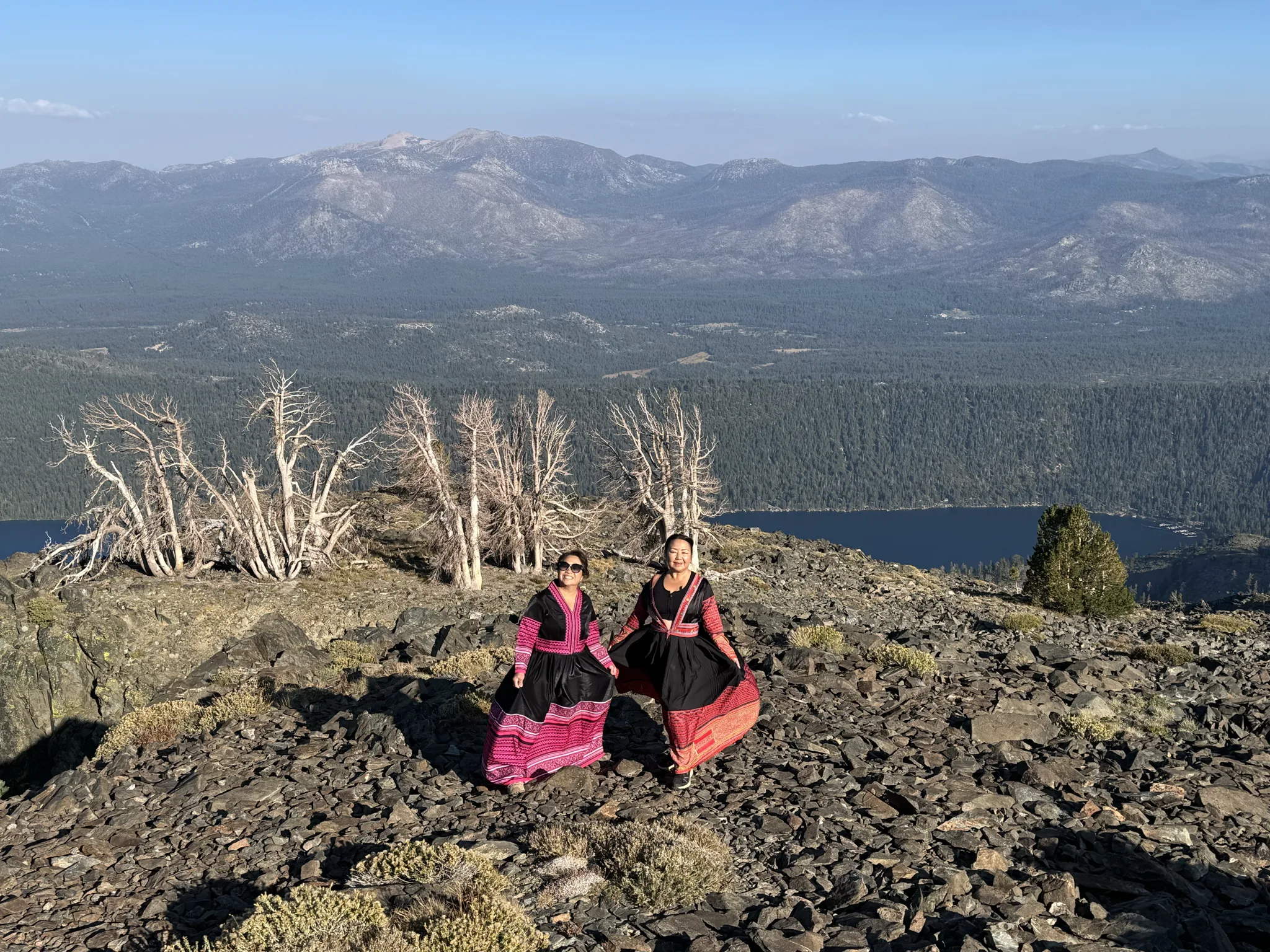
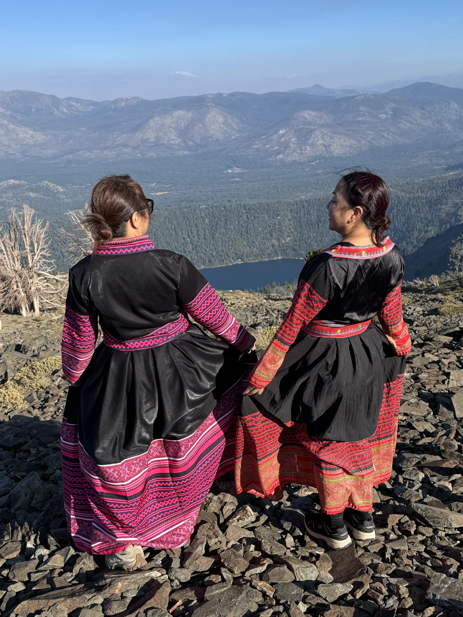
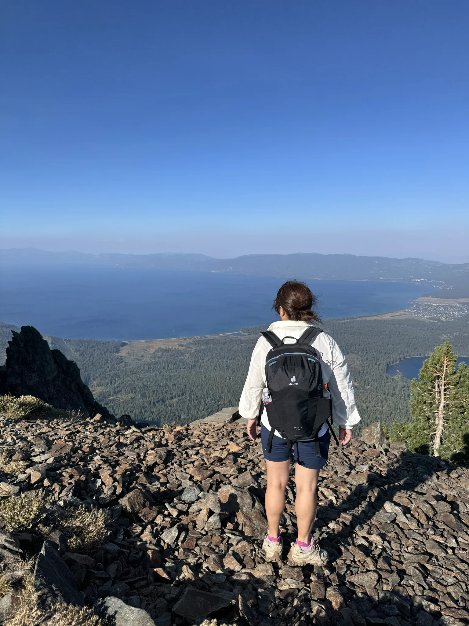
I took some individual photos of my beautiful wife.
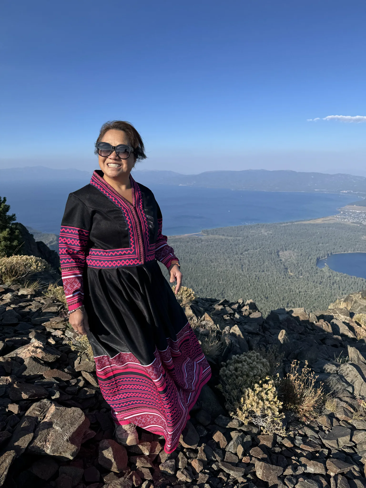
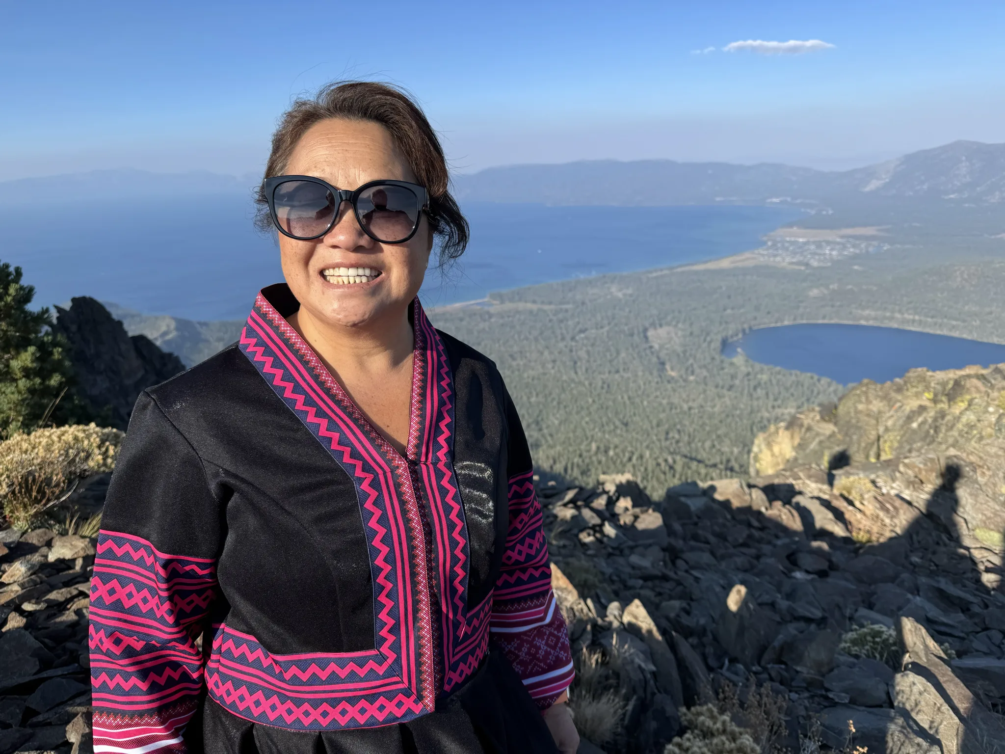

A last look around and its obvious to us that we are past due on heading down.
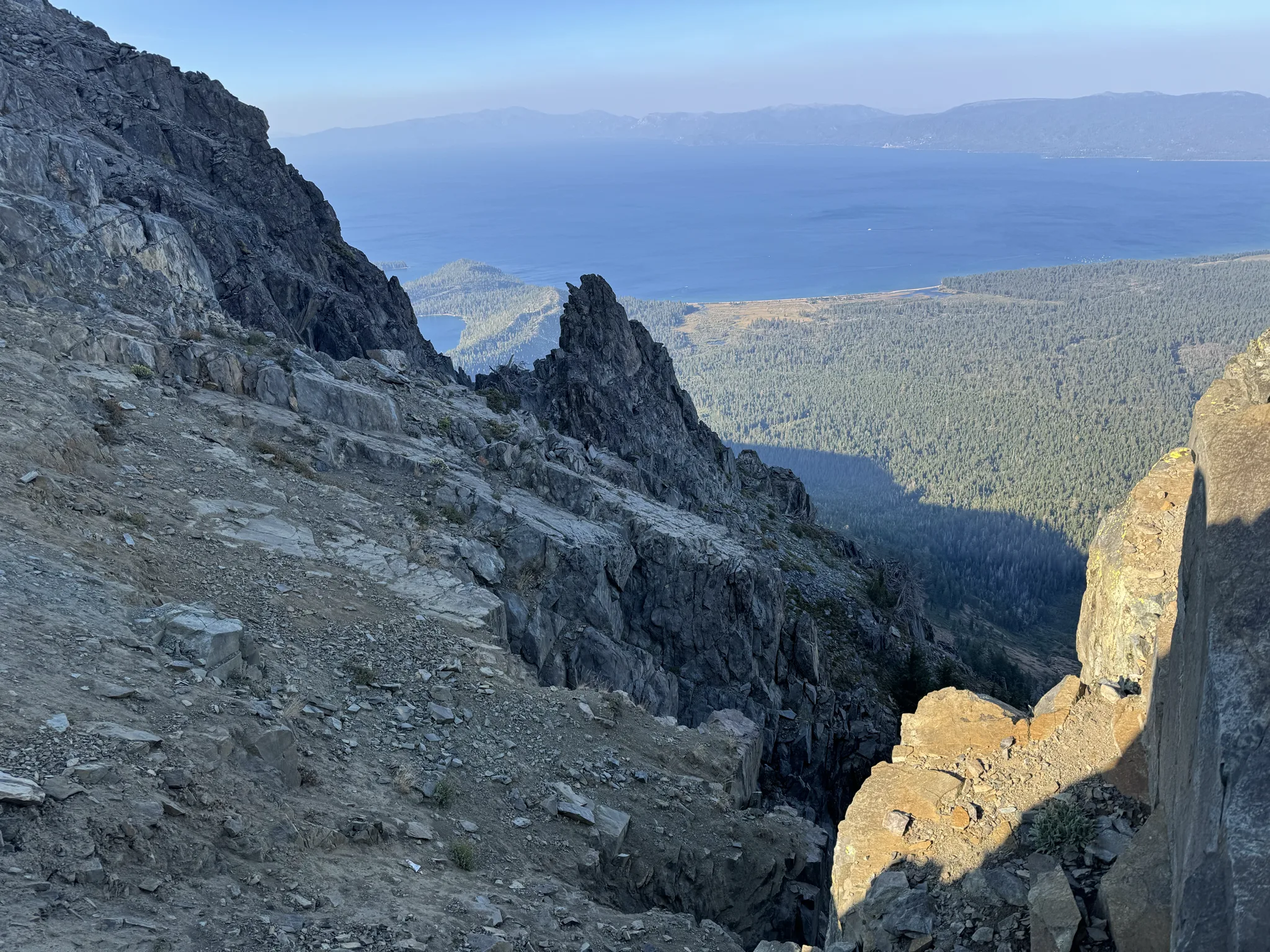
So off we go. I don’t usually take a bunch of photos on the way back, however, the light is changing and of course there are things to continue to discover.
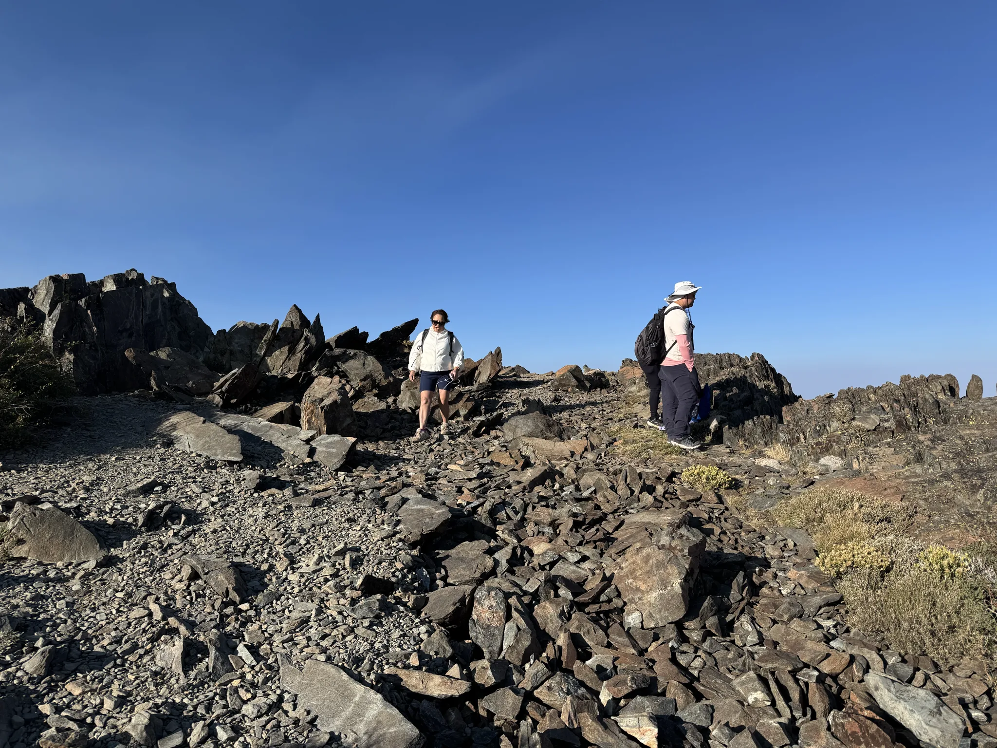
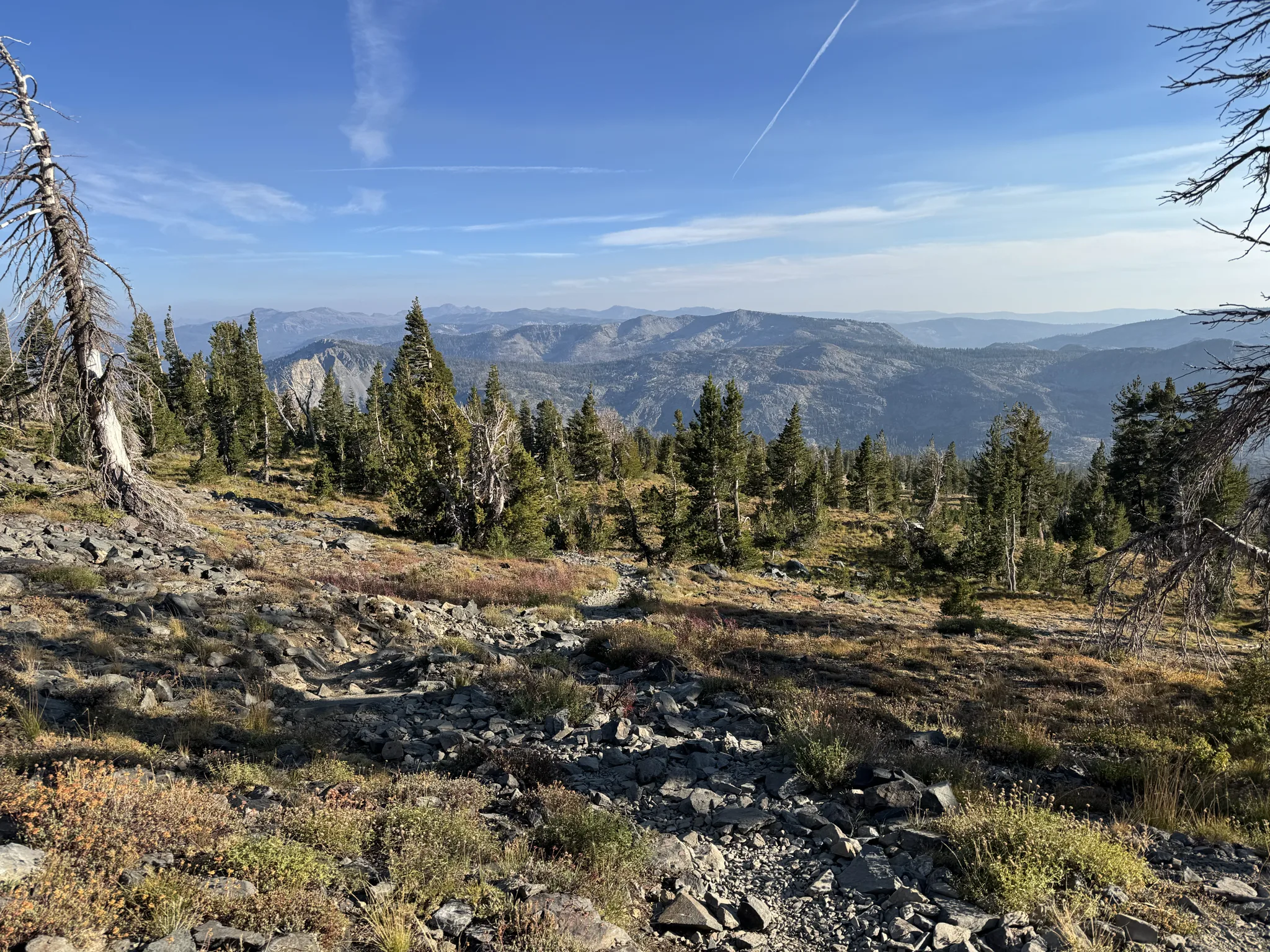
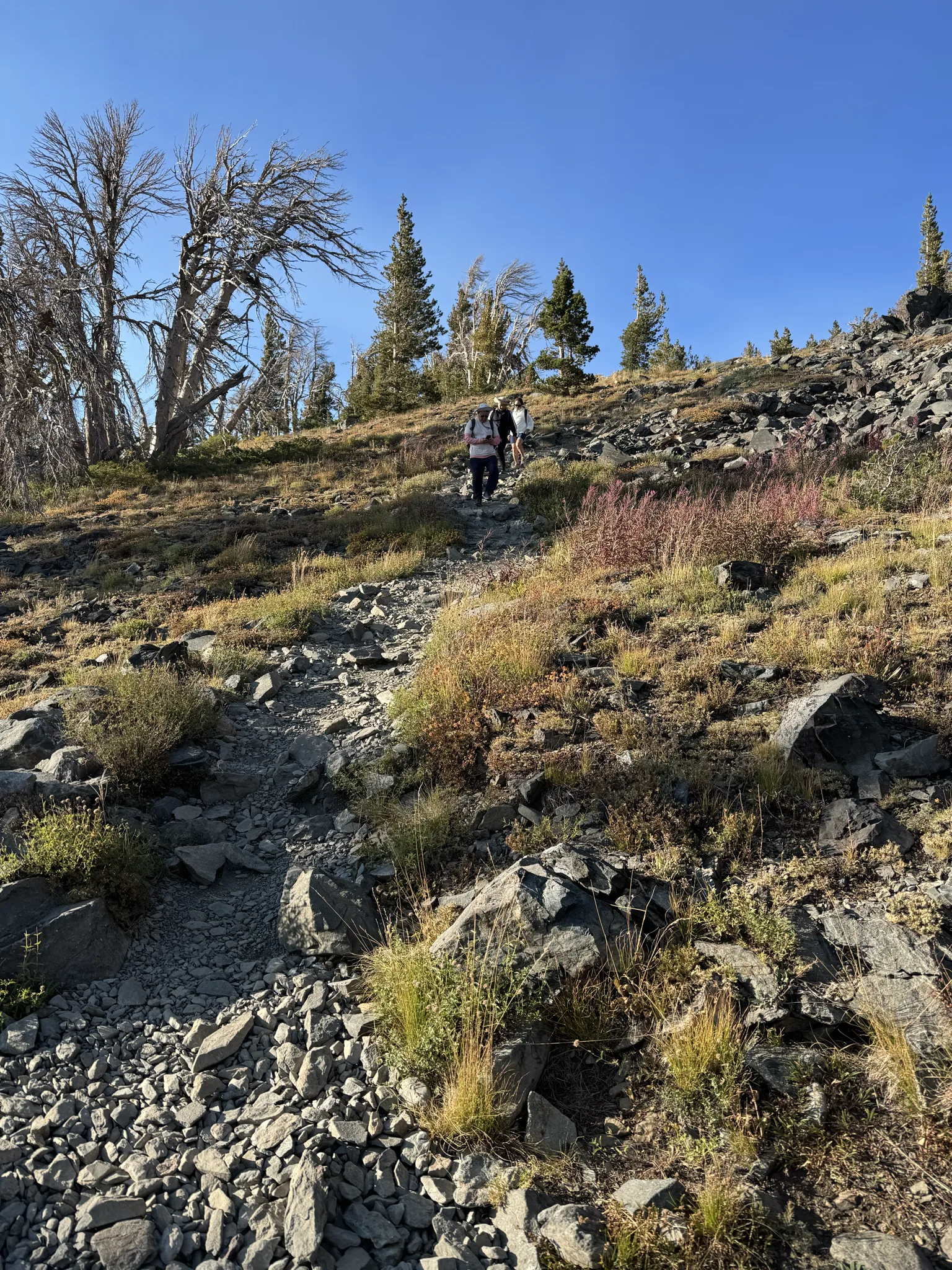
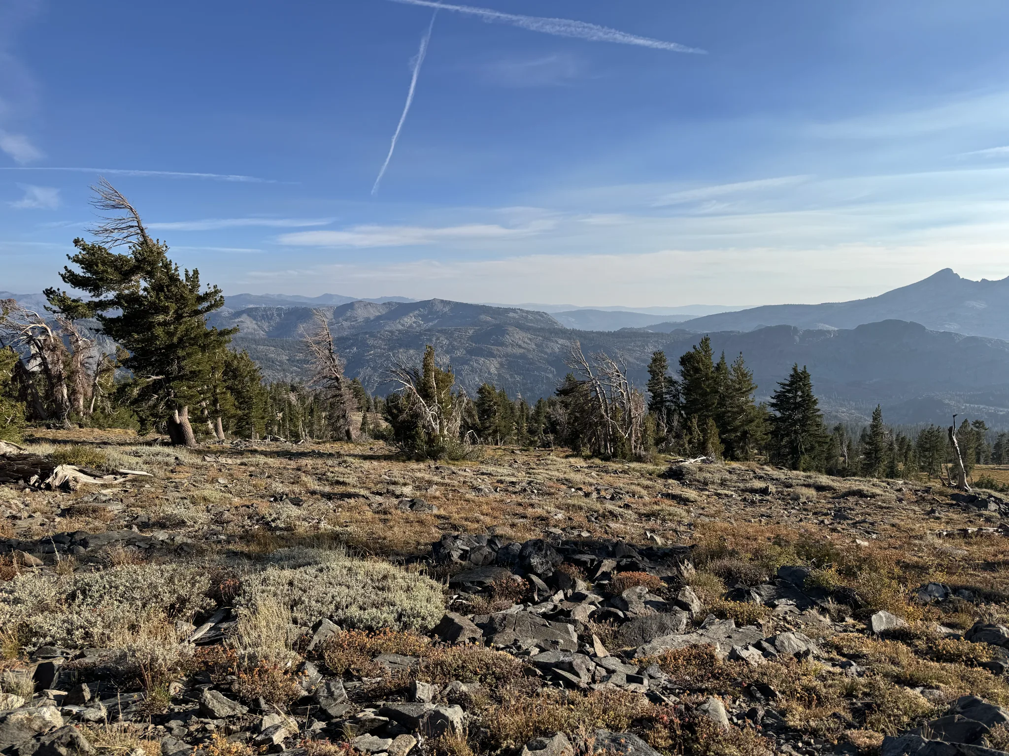
This is where the sun is. We want to cover as much ground as we can before it gets dark.
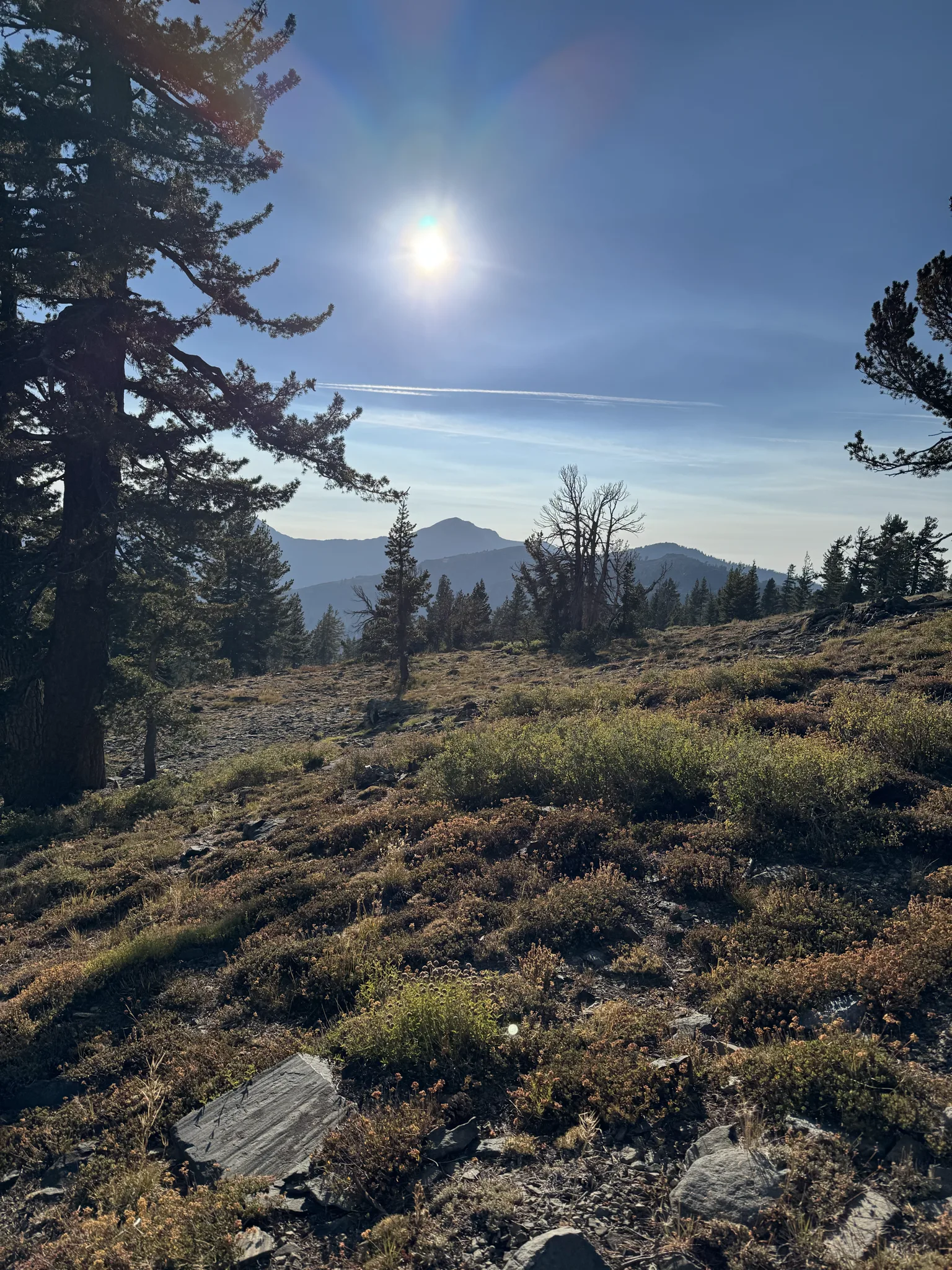
The colors are amazing.
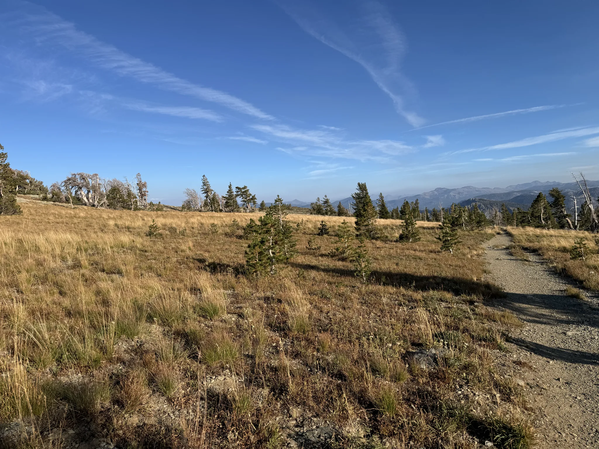
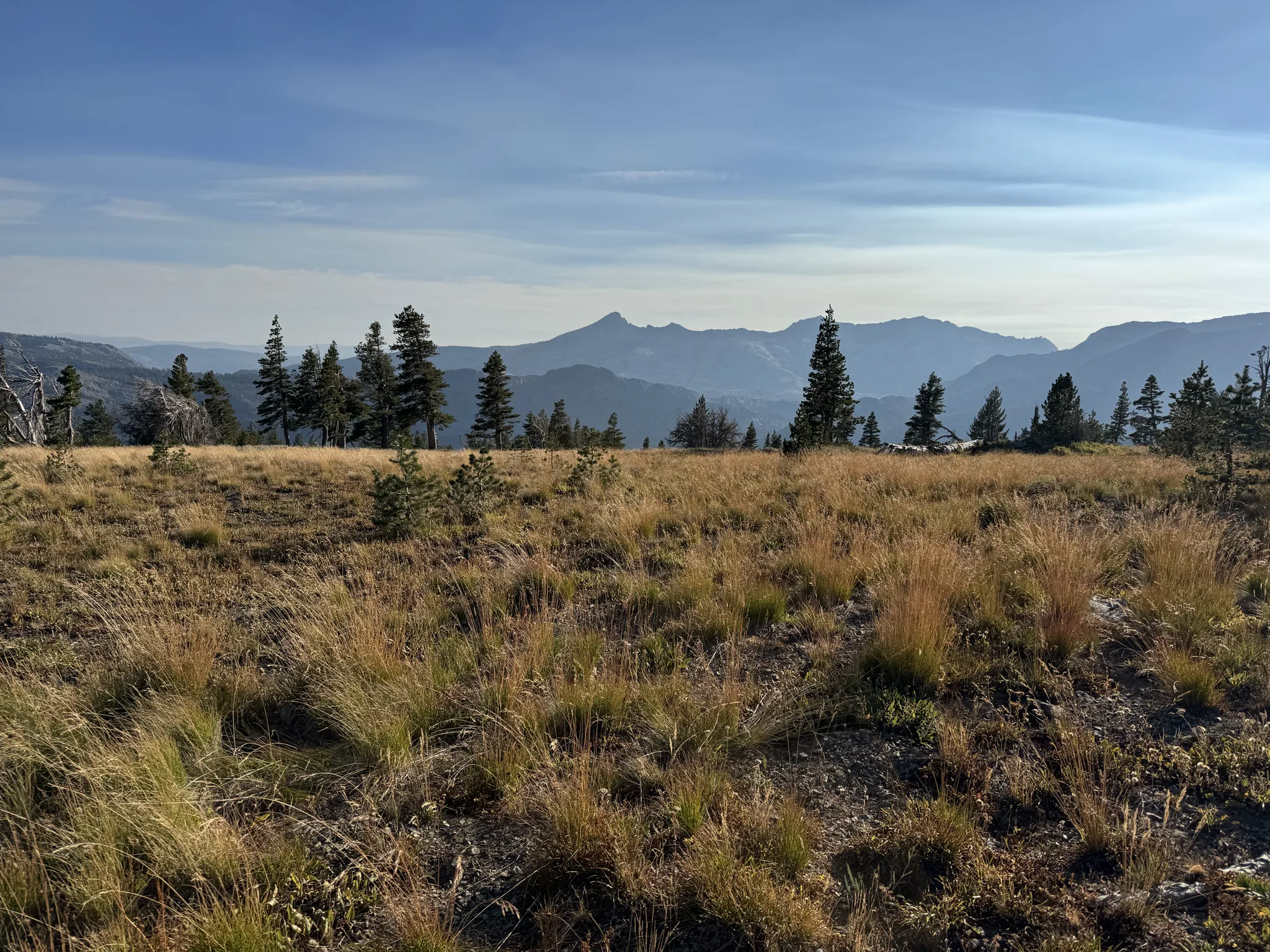
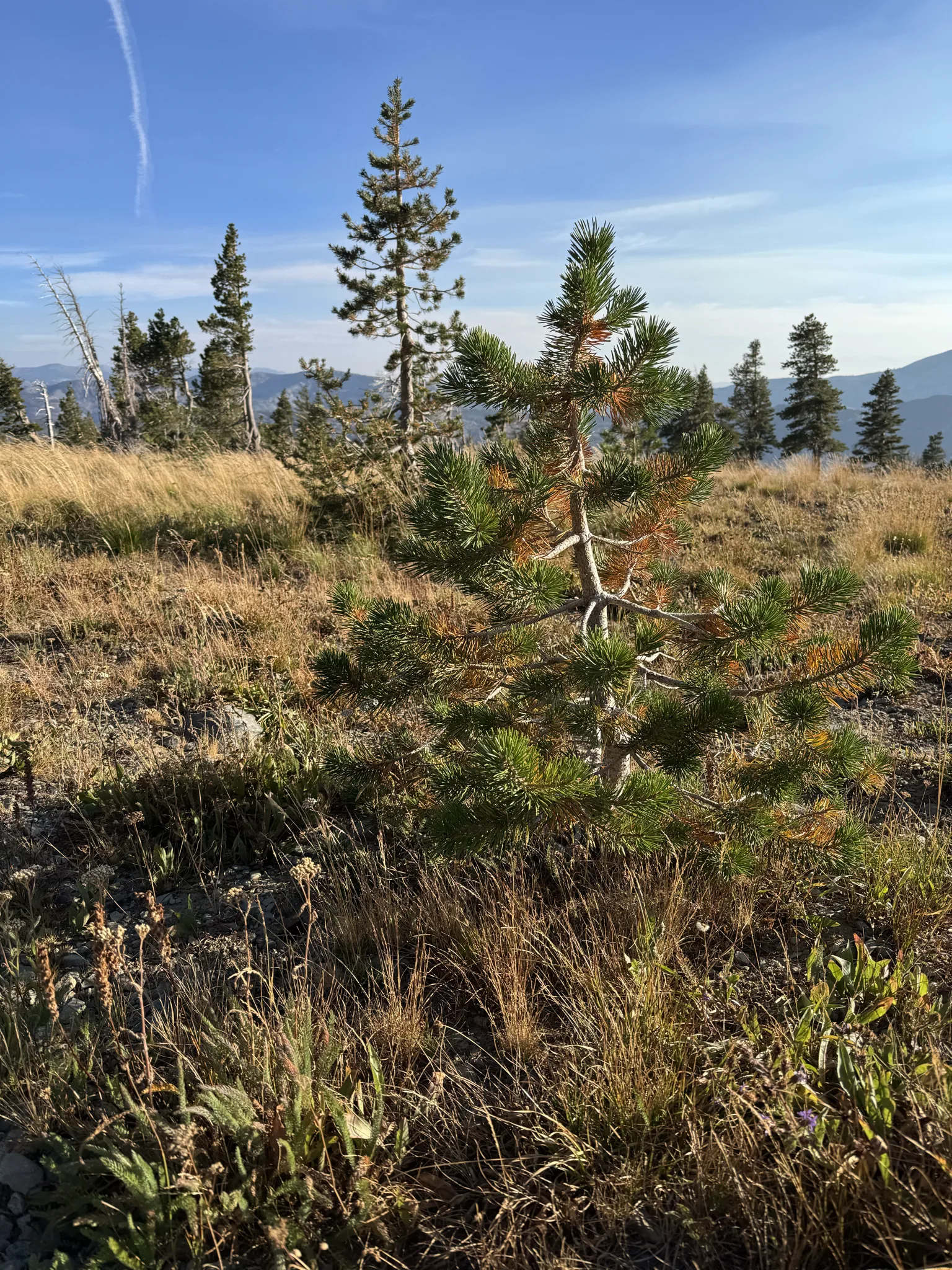
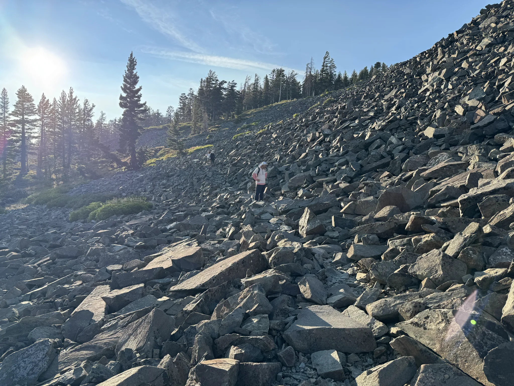
We find that it is somewhat slow on the way down as well because rocks are lose and we don’t want anyone to slip.
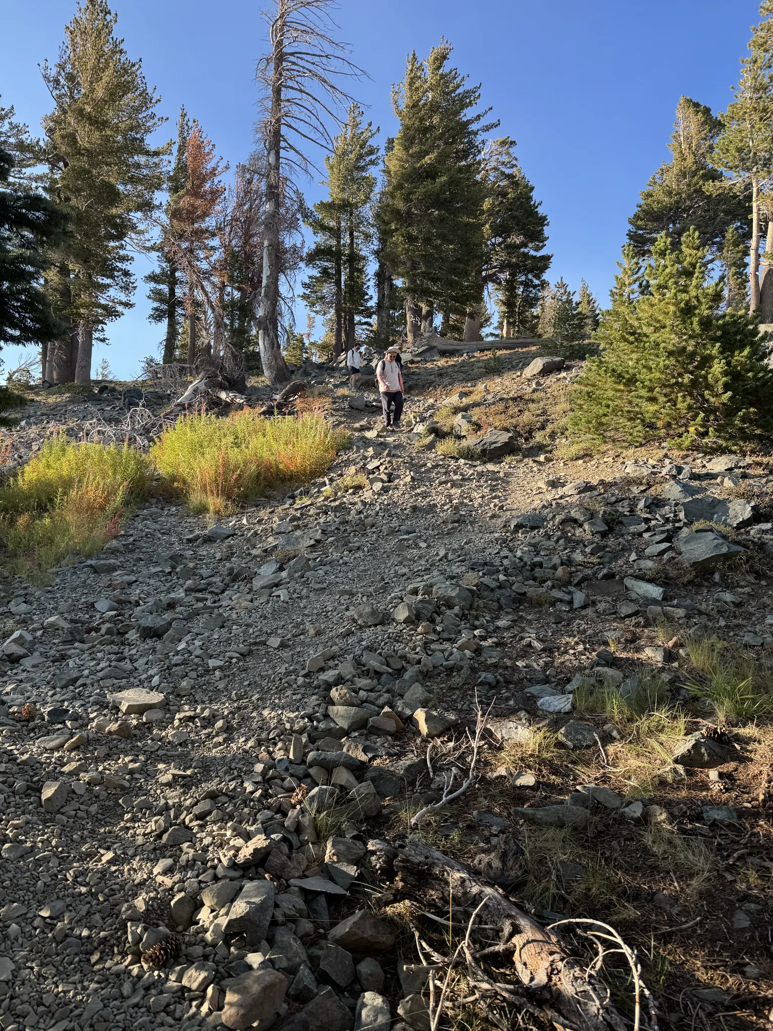
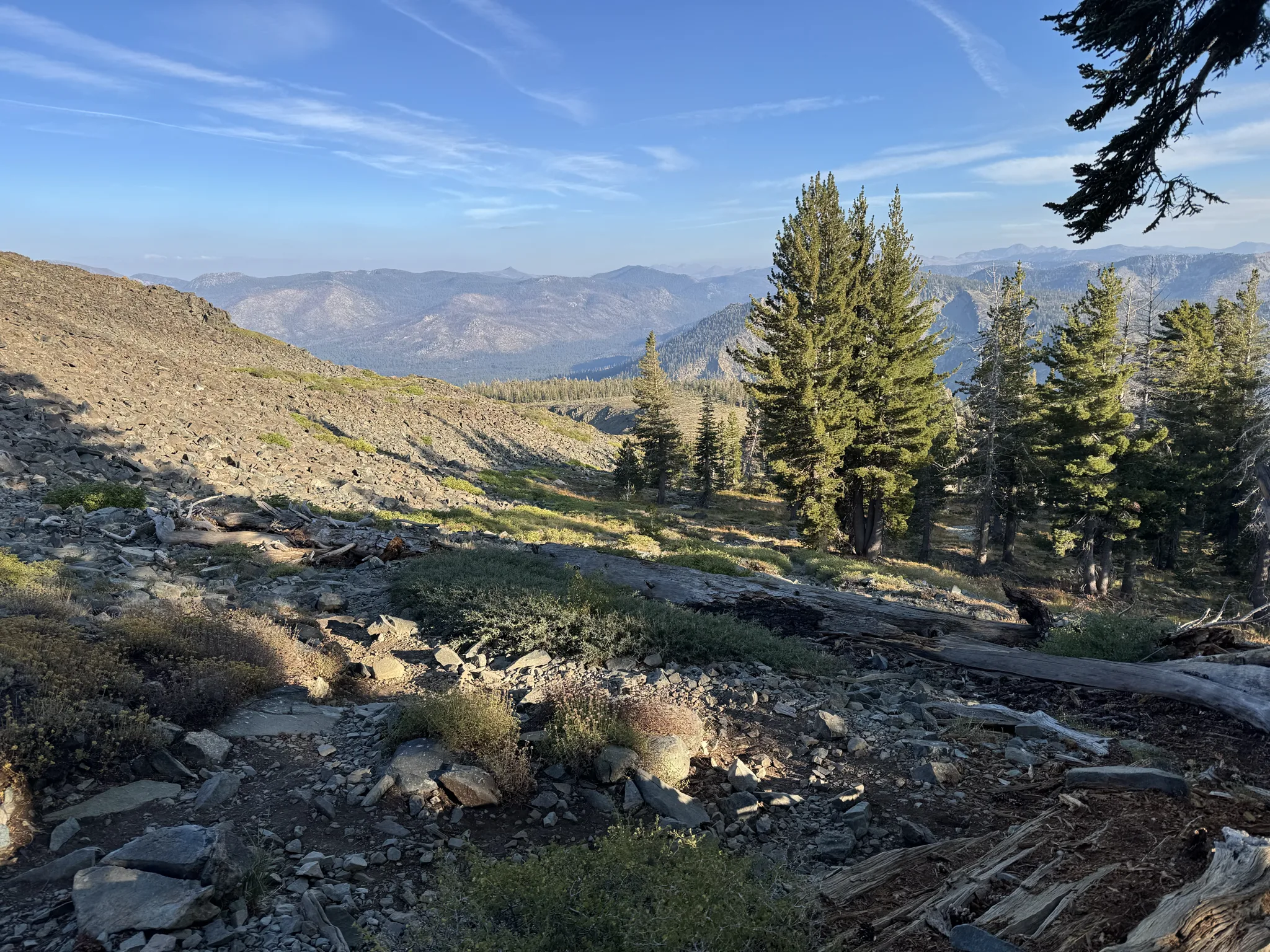
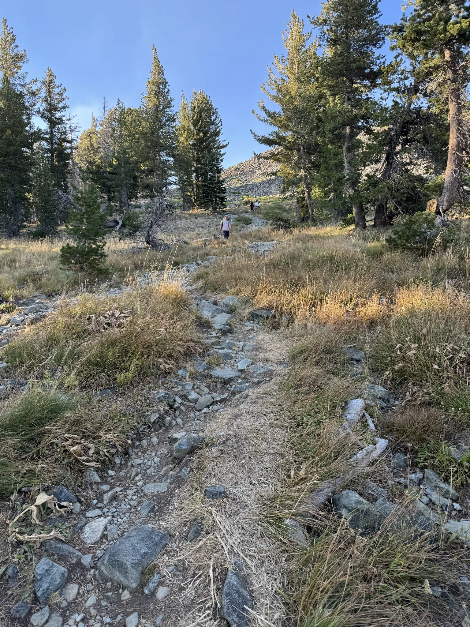
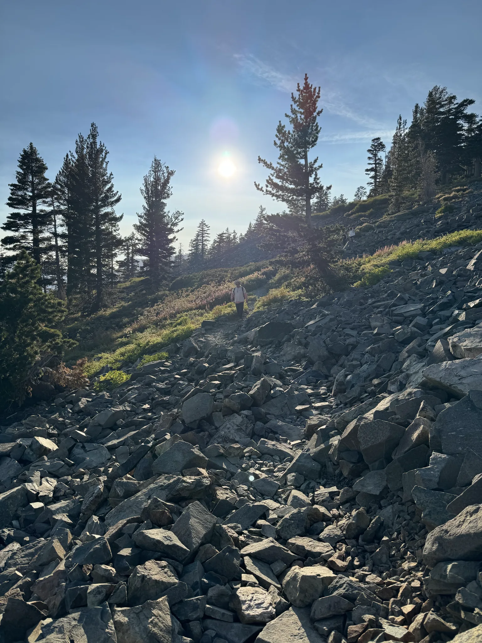
We work our way down.
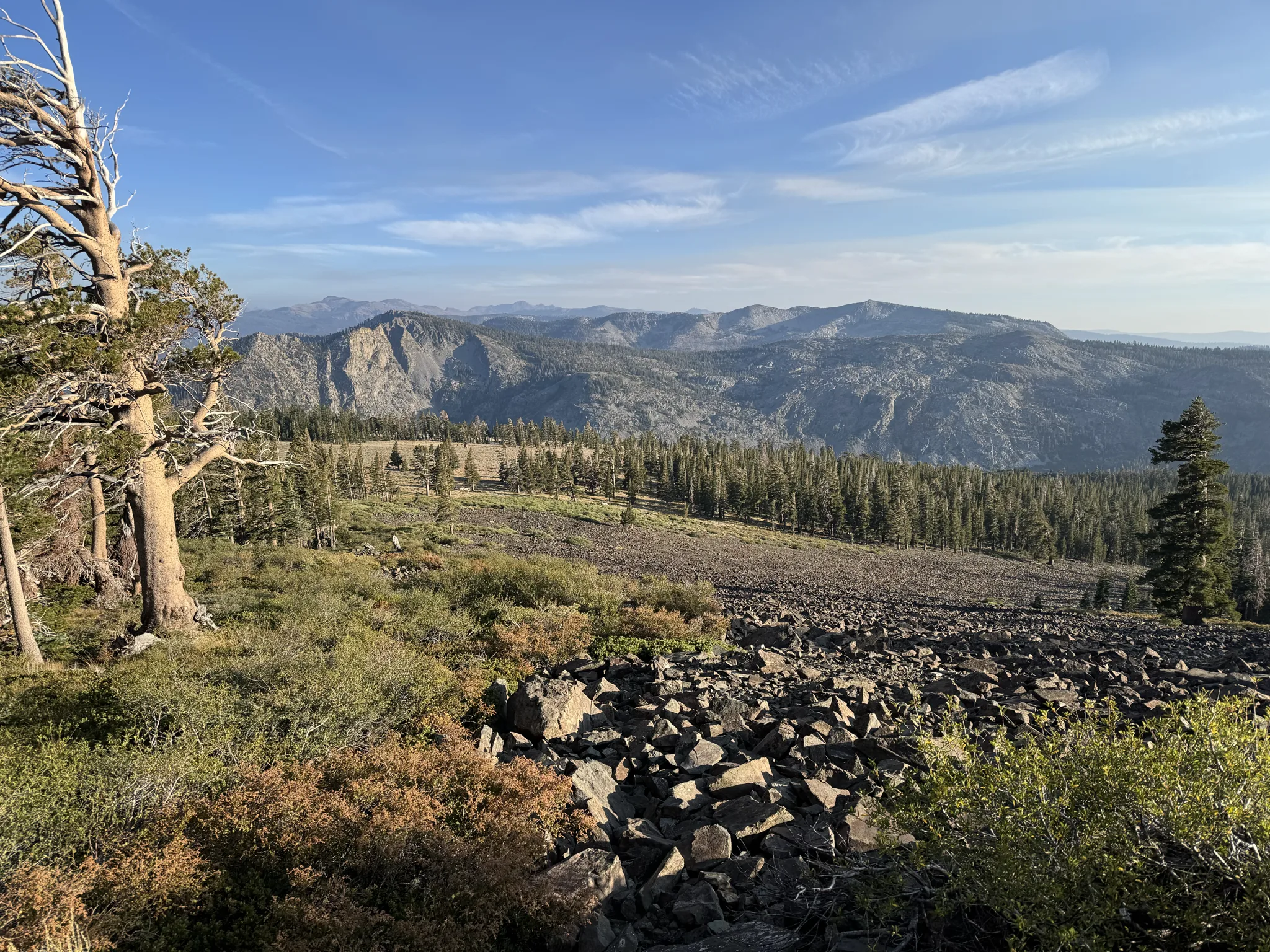
The views are amazing.
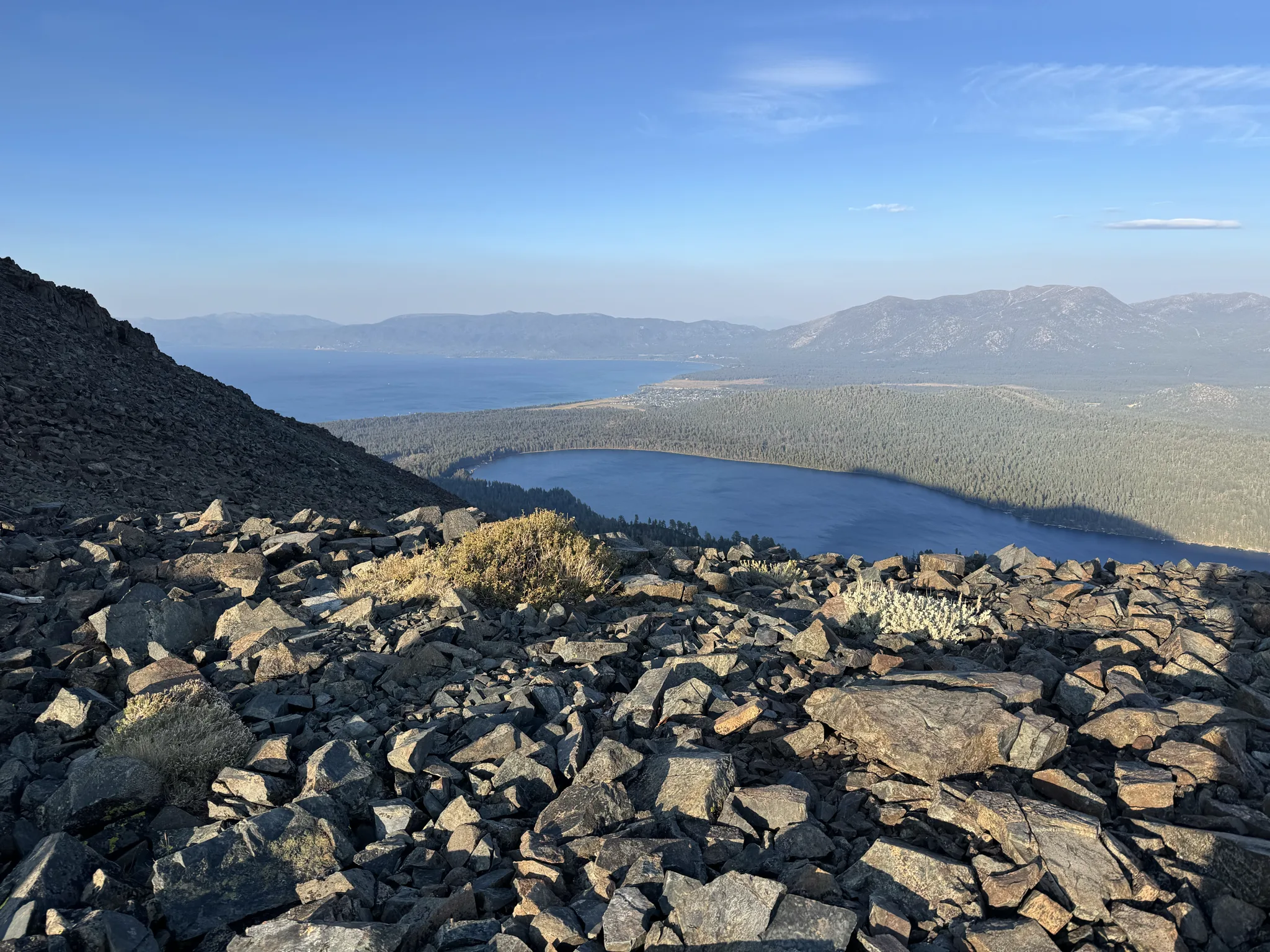
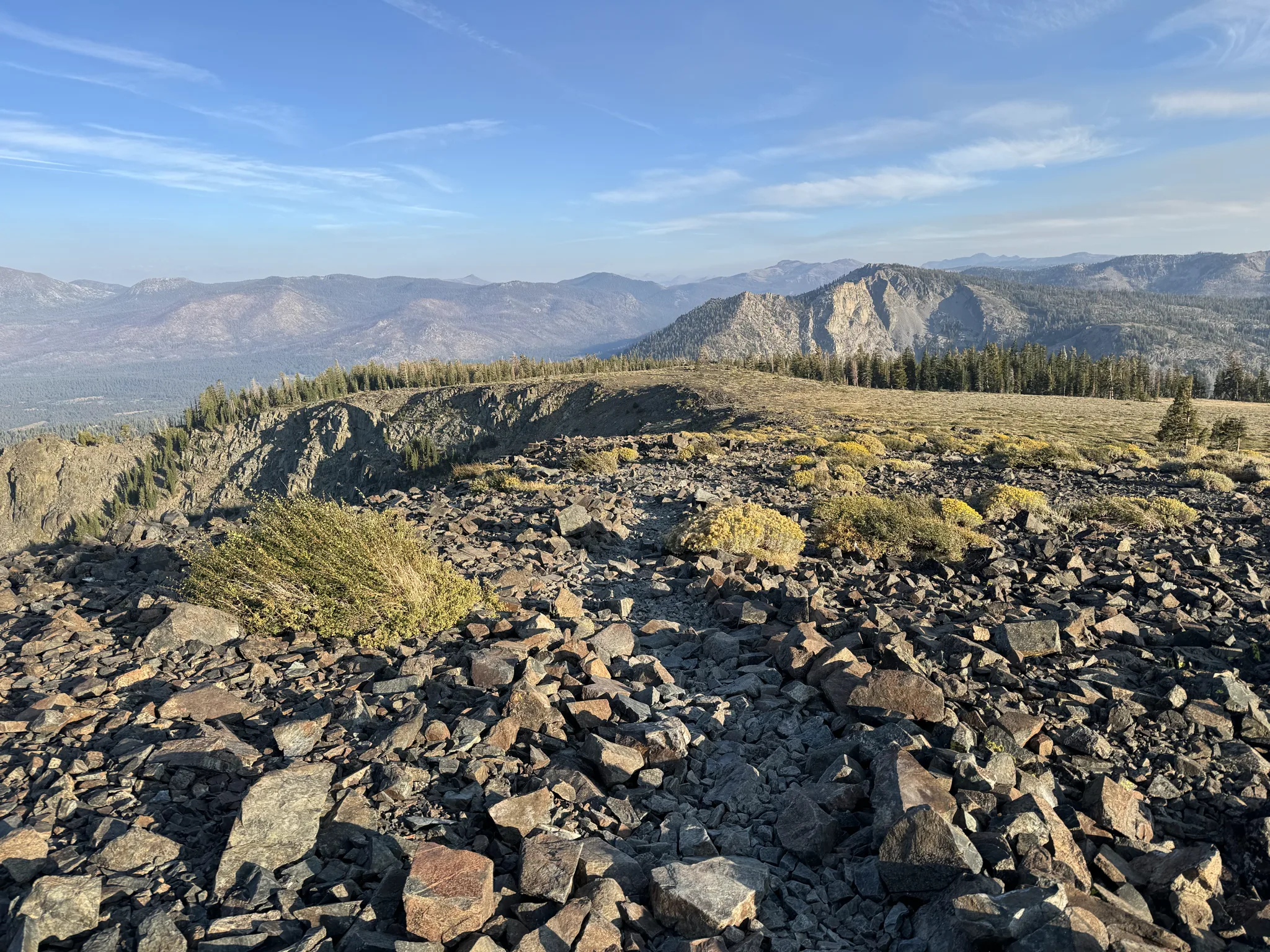
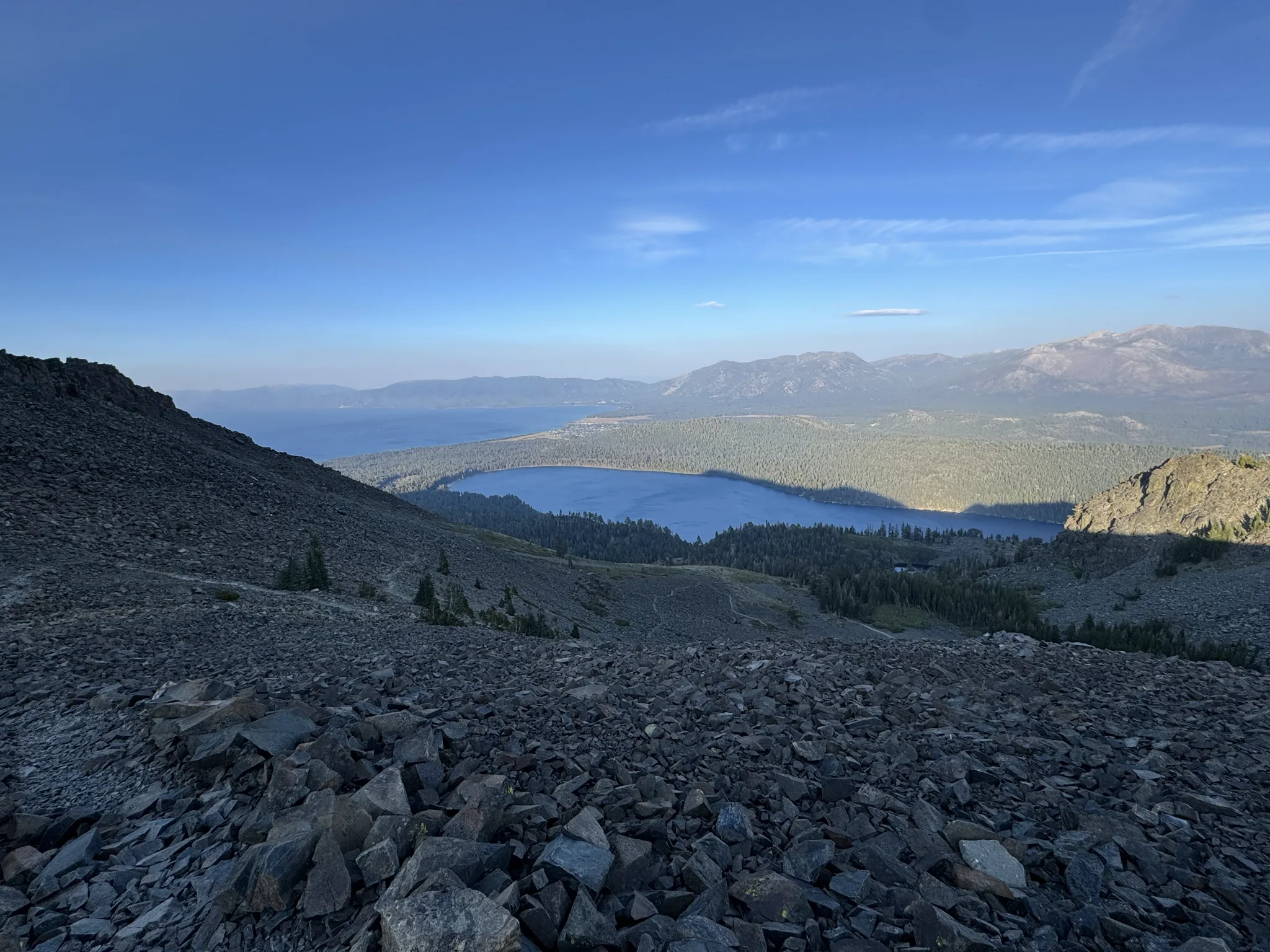
We are making good progress, though, to be honest I’m concerned about how much light we have left. Turns out we were fine.
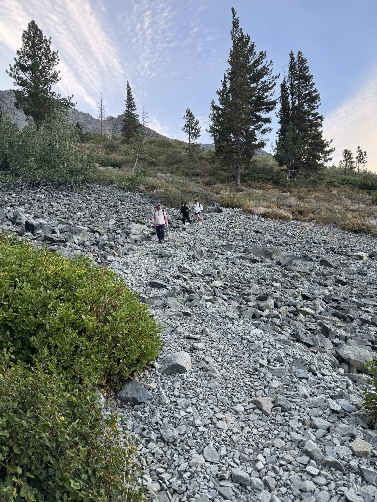
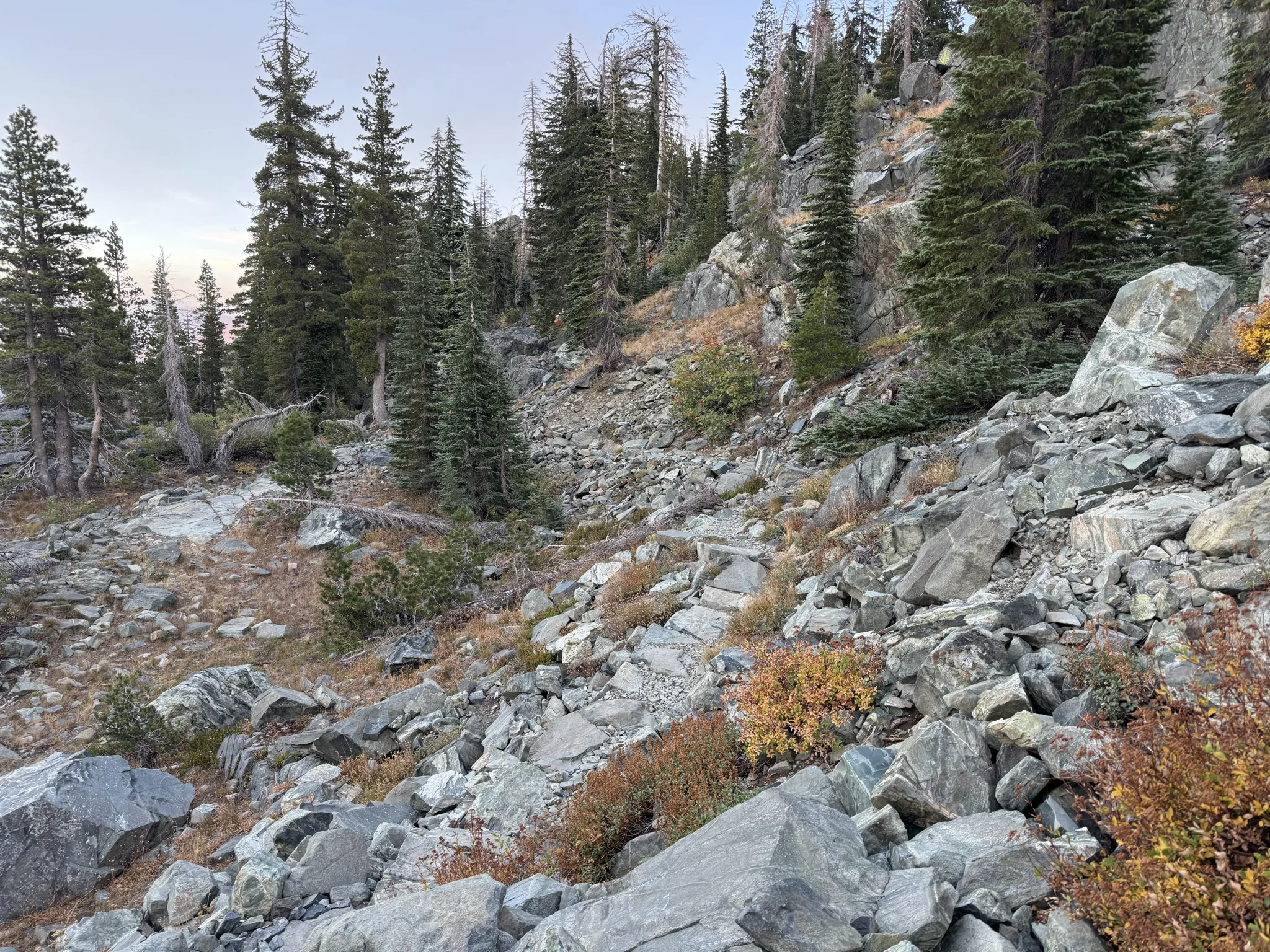
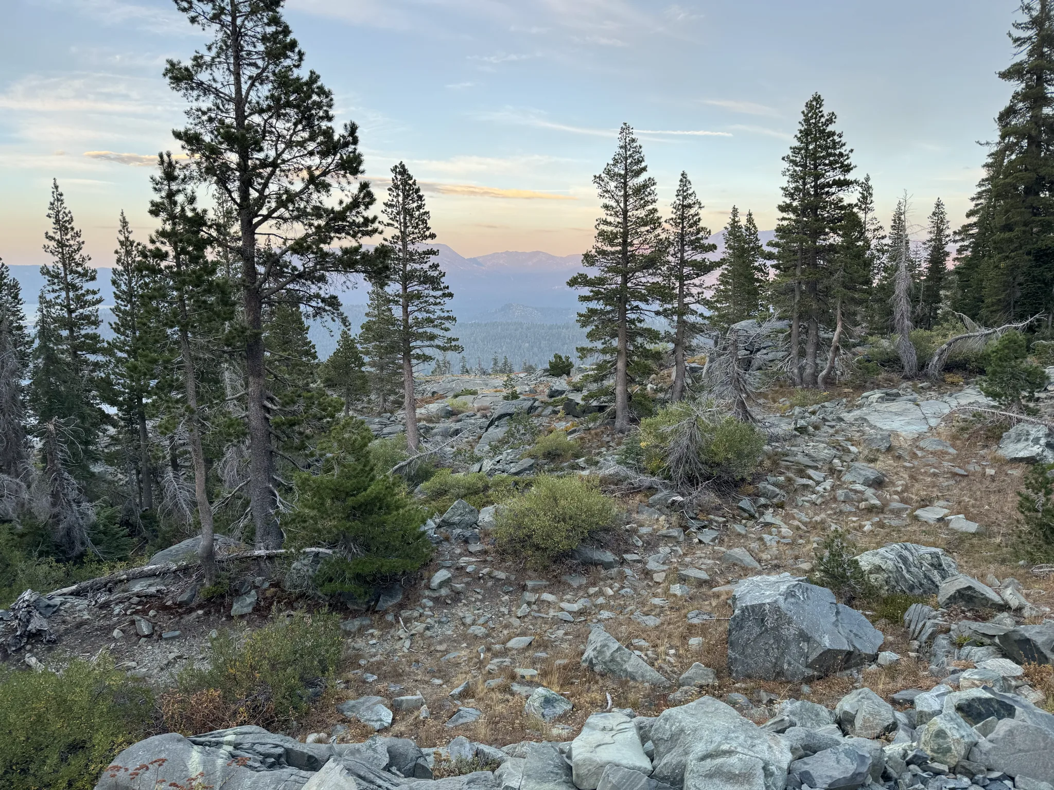
There are nice colors in the sky.
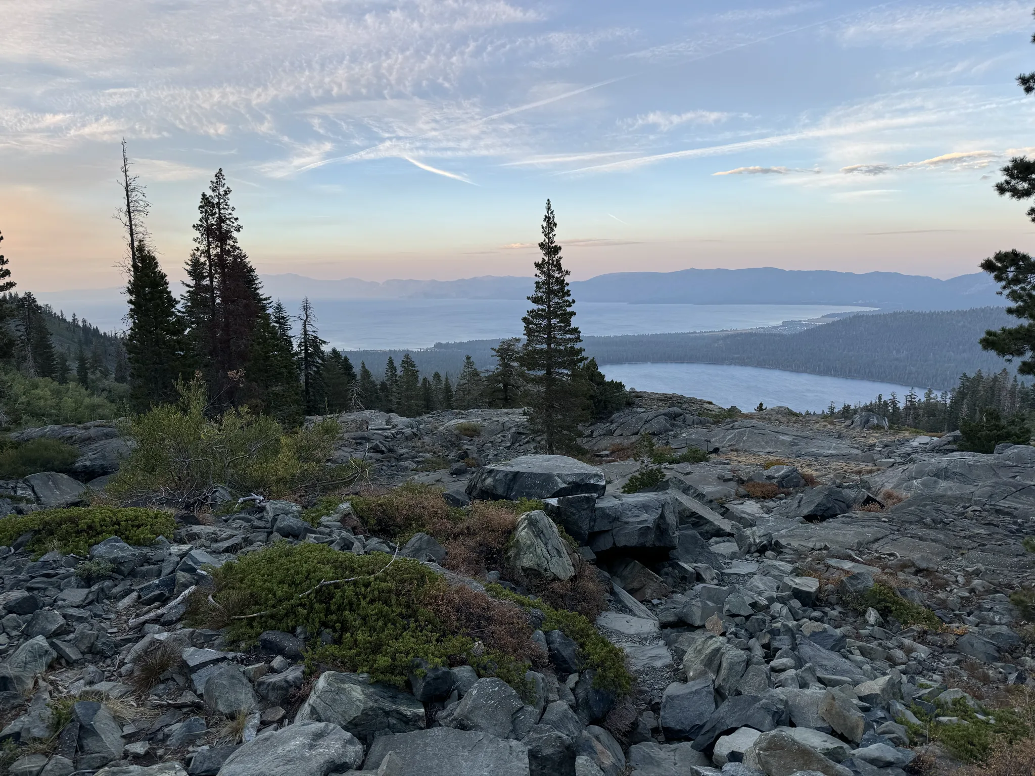
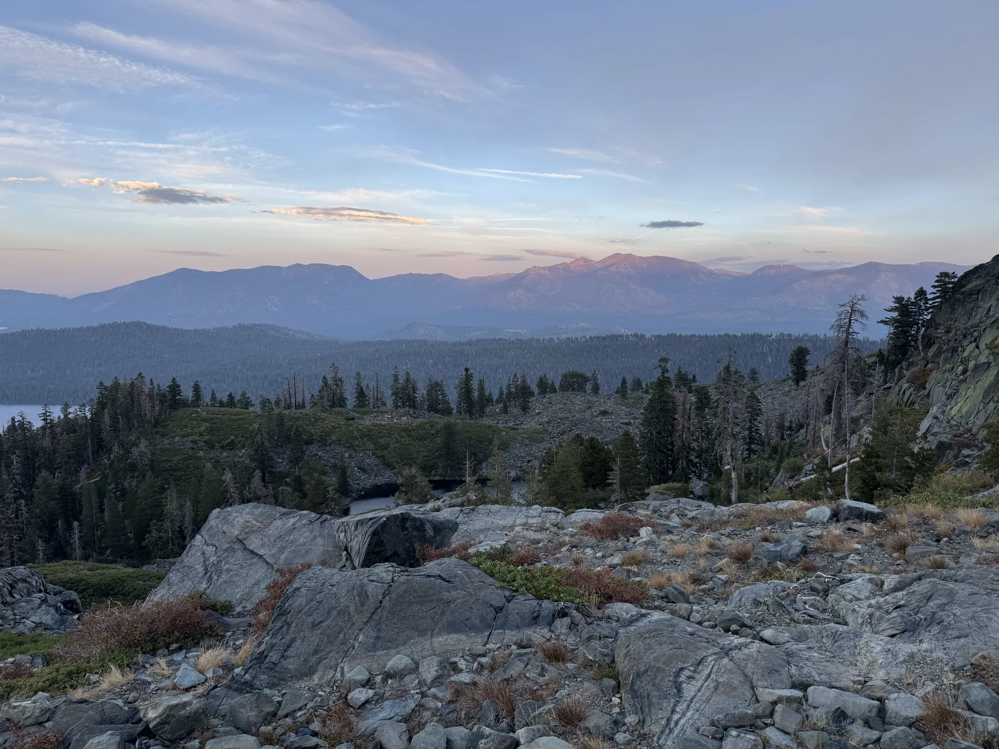
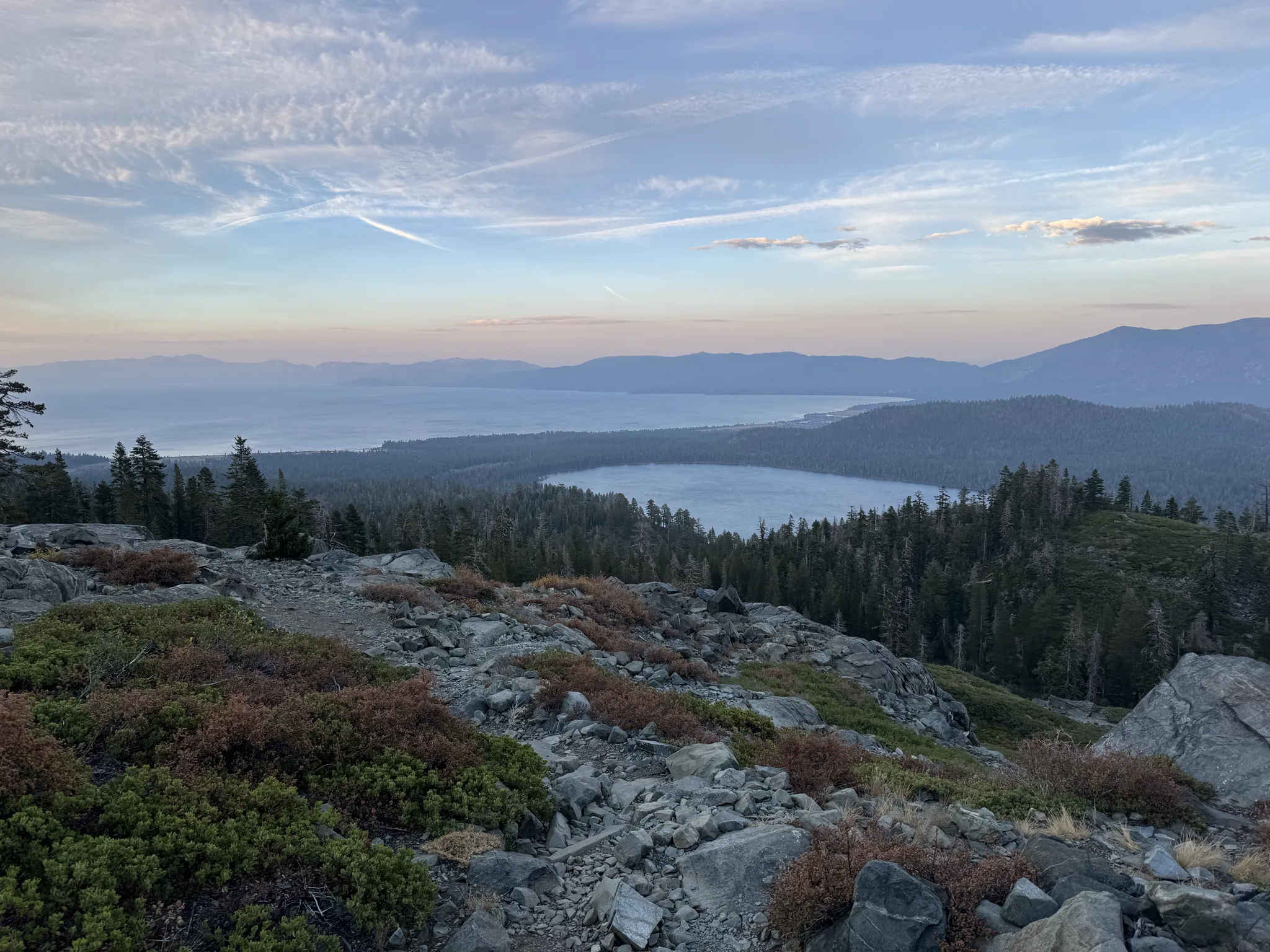
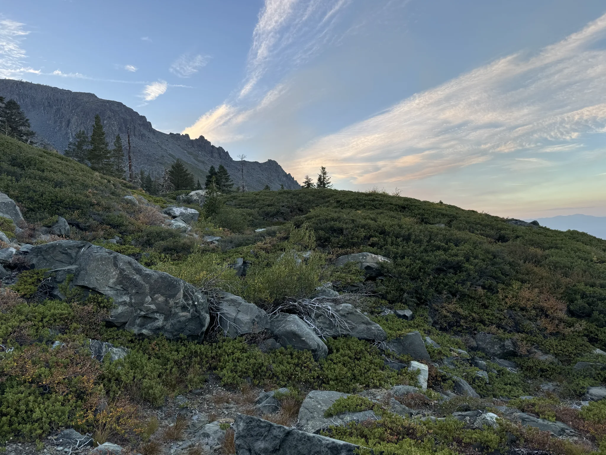
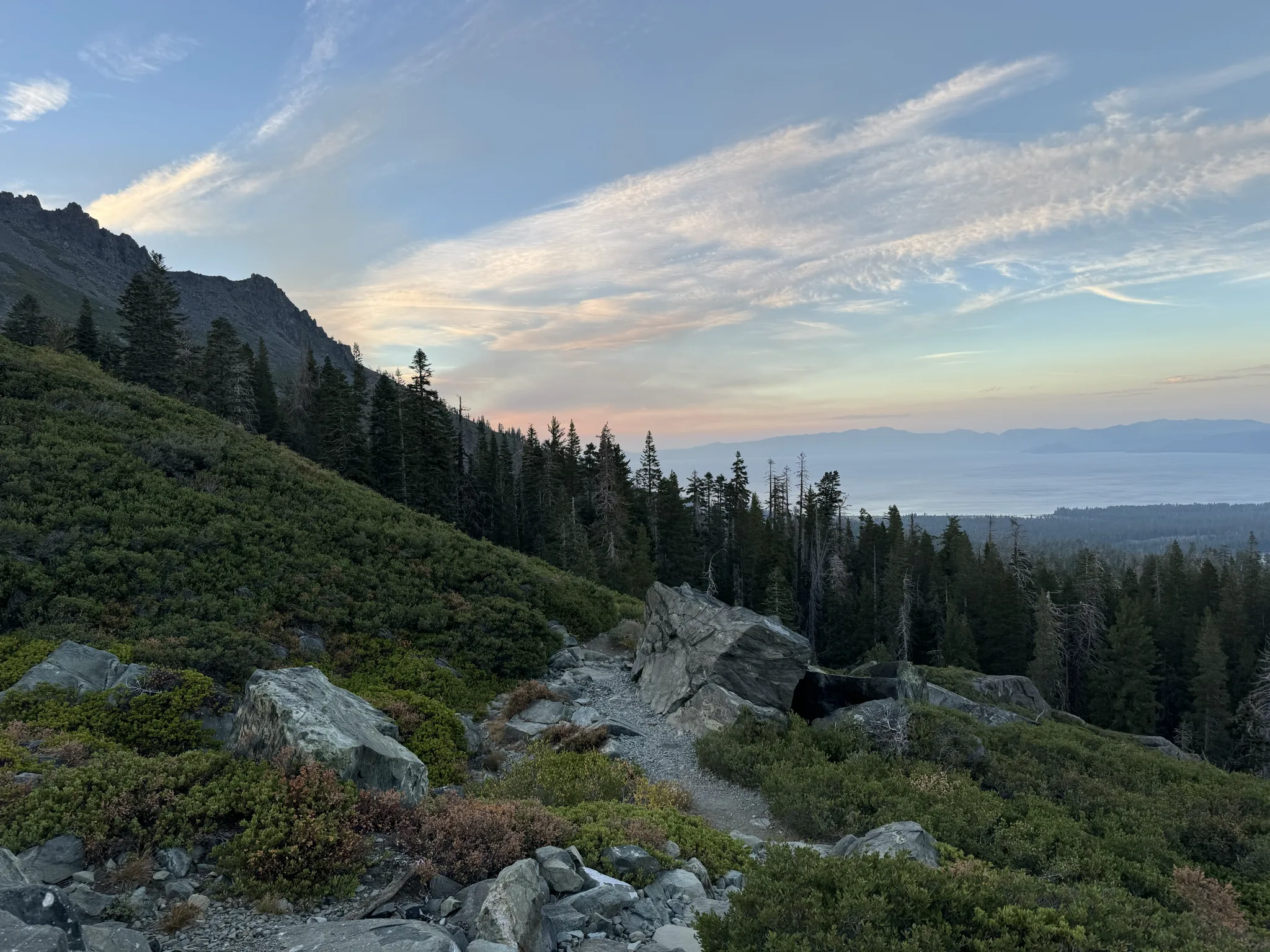
We reach Cathedral Lake. This is my last photo because my phone battery is low.
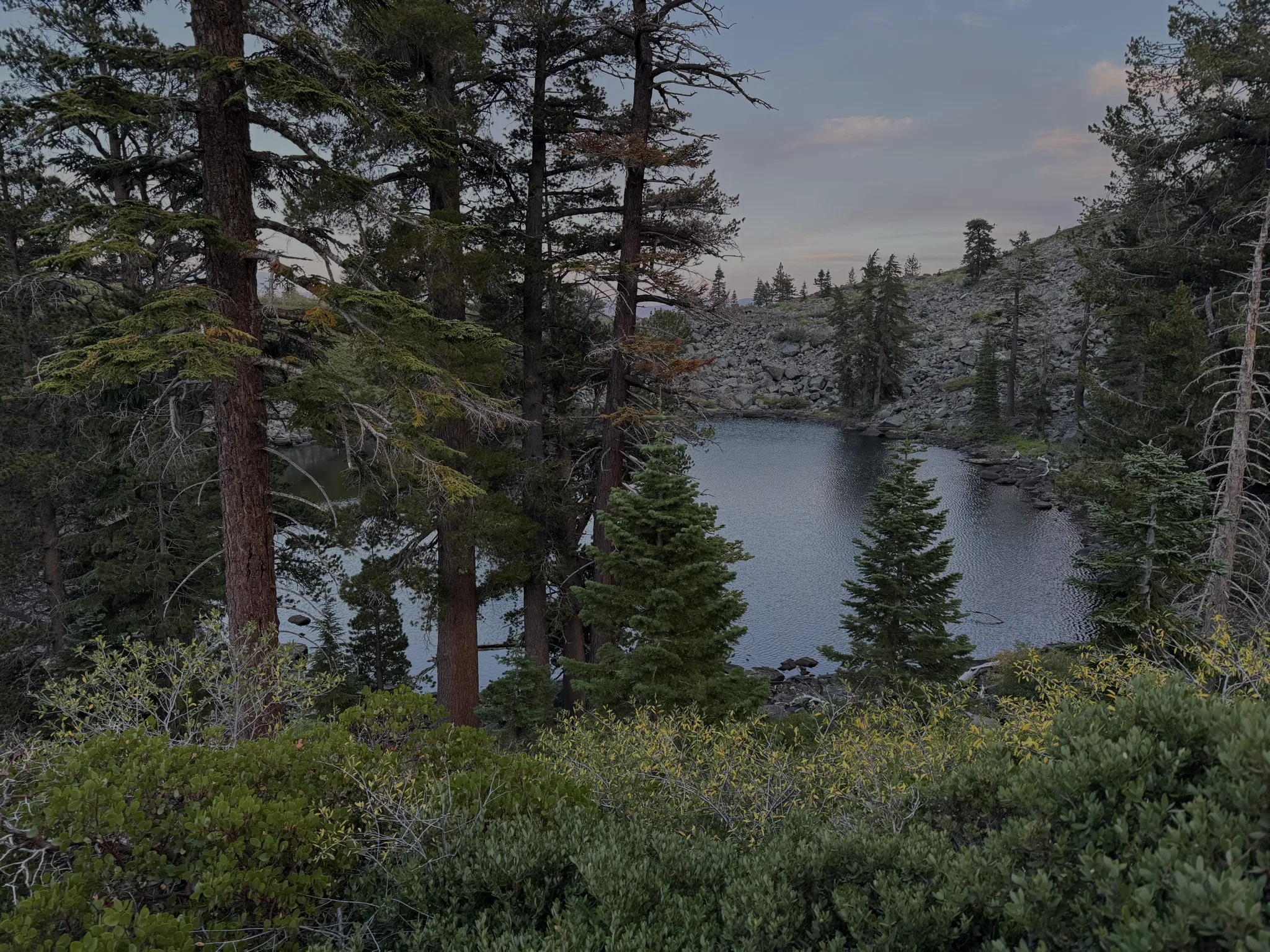
We got down to alongside Falling Leaf Lake before we needed our phone flashlights. The others had more battery left and my wife had an battery pack to suppliment. We found we could hike the rest of the way out by flashlight at pretty much the same pace as we could in daylight.
We hiked about a half hour to an hour in the dark. Next time, we will do better at making sure we get out before dark.
We all enjoyed an exceptional hike and good time.